Well Belt
Wood, Forest in Cambridgeshire East Cambridgeshire
England
Well Belt

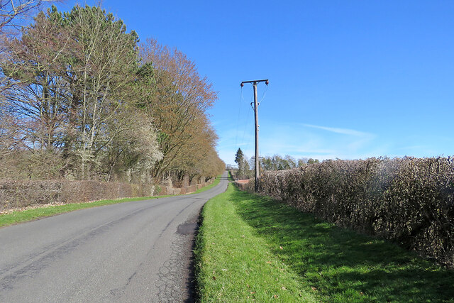
Well Belt, Cambridgeshire is a small woodland area nestled in the heart of the county. Covering an area of approximately 100 acres, it is a haven for nature enthusiasts and outdoor adventurers alike. The woodland is part of the larger Well Belt Nature Reserve, which encompasses a diverse range of habitats including ancient woodland, meadows, and wetlands.
The woodland itself consists mainly of mature trees such as oak, beech, and birch, providing a rich and varied canopy. These trees provide a habitat for a wide variety of bird species, including woodpeckers, owls, and thrushes. The forest floor is carpeted with a lush undergrowth of ferns, mosses, and wildflowers, attracting a plethora of insects and small mammals.
Well Belt offers an array of walking trails and footpaths, allowing visitors to explore the natural beauty of the area at their own pace. The trails wind through the woodland, offering glimpses of stunning vistas, babbling brooks, and peaceful glades. Wildlife spotting is a popular activity, with deer, foxes, and squirrels often seen darting through the trees.
In addition to its natural beauty, Well Belt also has historical significance. The woodland is dotted with remnants of ancient settlements and archaeological sites, providing a glimpse into the area's past. Visitors can explore these historical features, immersing themselves in the rich history of the region.
Overall, Well Belt, Cambridgeshire is a charming and tranquil woodland, offering visitors a chance to connect with nature and explore the history of the area. Whether you are a nature lover, history buff, or simply seeking a peaceful retreat, Well Belt is sure to captivate and inspire.
If you have any feedback on the listing, please let us know in the comments section below.
Well Belt Images
Images are sourced within 2km of 52.229472/0.41677722 or Grid Reference TL6561. Thanks to Geograph Open Source API. All images are credited.


Well Belt is located at Grid Ref: TL6561 (Lat: 52.229472, Lng: 0.41677722)
Administrative County: Cambridgeshire
District: East Cambridgeshire
Police Authority: Cambridgeshire
What 3 Words
///throat.tumble.whirlpool. Near Newmarket, Suffolk
Nearby Locations
Related Wikis
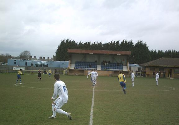
Newmarket Town F.C.
Newmarket Town Football Club is a football club based in Newmarket, Suffolk, England. Affiliated to the Suffolk County FA, they are currently members of...

Newmarket railway station (Suffolk)
Newmarket railway station (Suffolk) was opened by the Great Eastern Railway on 7 April 1902. It is on the Ipswich–Ely line and is 800 yards (730 m) south...

East of England
The East of England is one of the nine official regions of England in the United Kingdom. This region was created in 1994 and was adopted for statistics...
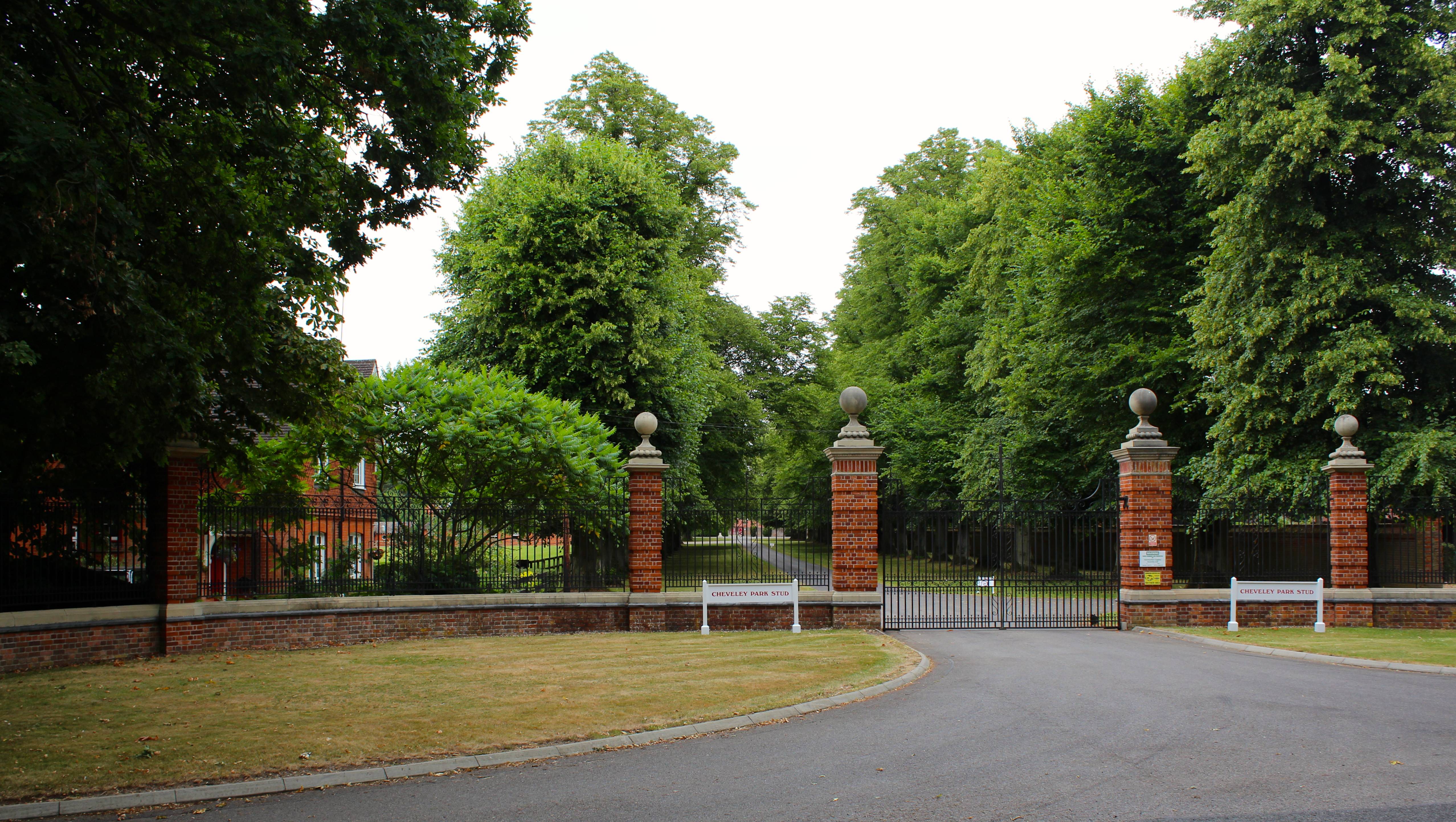
Cheveley Park Stud
Cheveley Park Stud is a thoroughbred racehorse ownership and breeding operation in Newmarket, Suffolk, UK, which has bred and owned many notable horses...

Palace House
Palace House is the home of the National Horse Racing Museum in the remaining part of Charles II's racing palace in Newmarket, Suffolk, England. It is...
Newmarket, Suffolk
Newmarket is a market town and civil parish in the West Suffolk district of Suffolk, England. Located (14 miles) west of Bury St Edmunds and (14 miles...
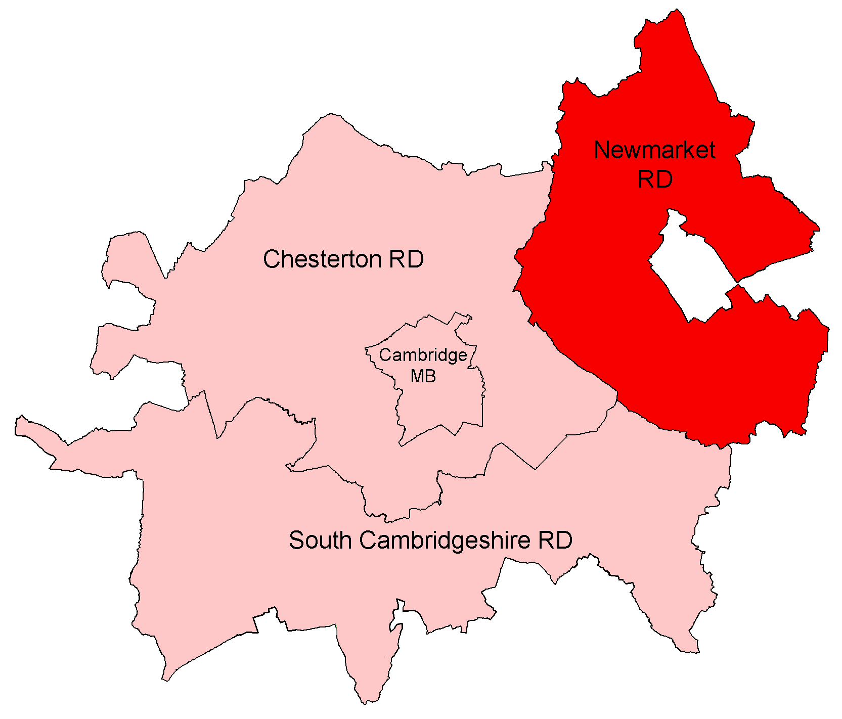
Newmarket Rural District
Newmarket was a rural district in Cambridgeshire, England from 1894 to 1974. It surrounded the town of Newmarket, in West Suffolk, on the north, west...
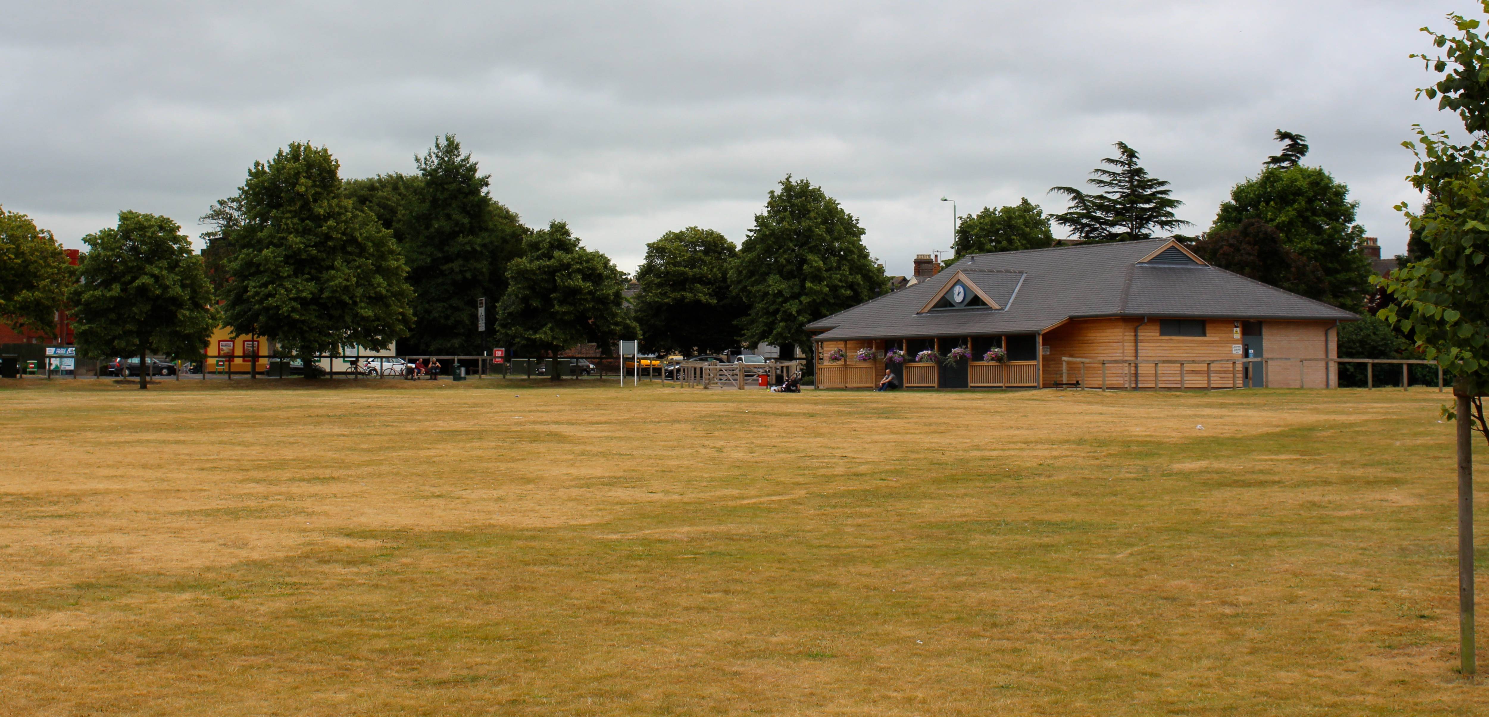
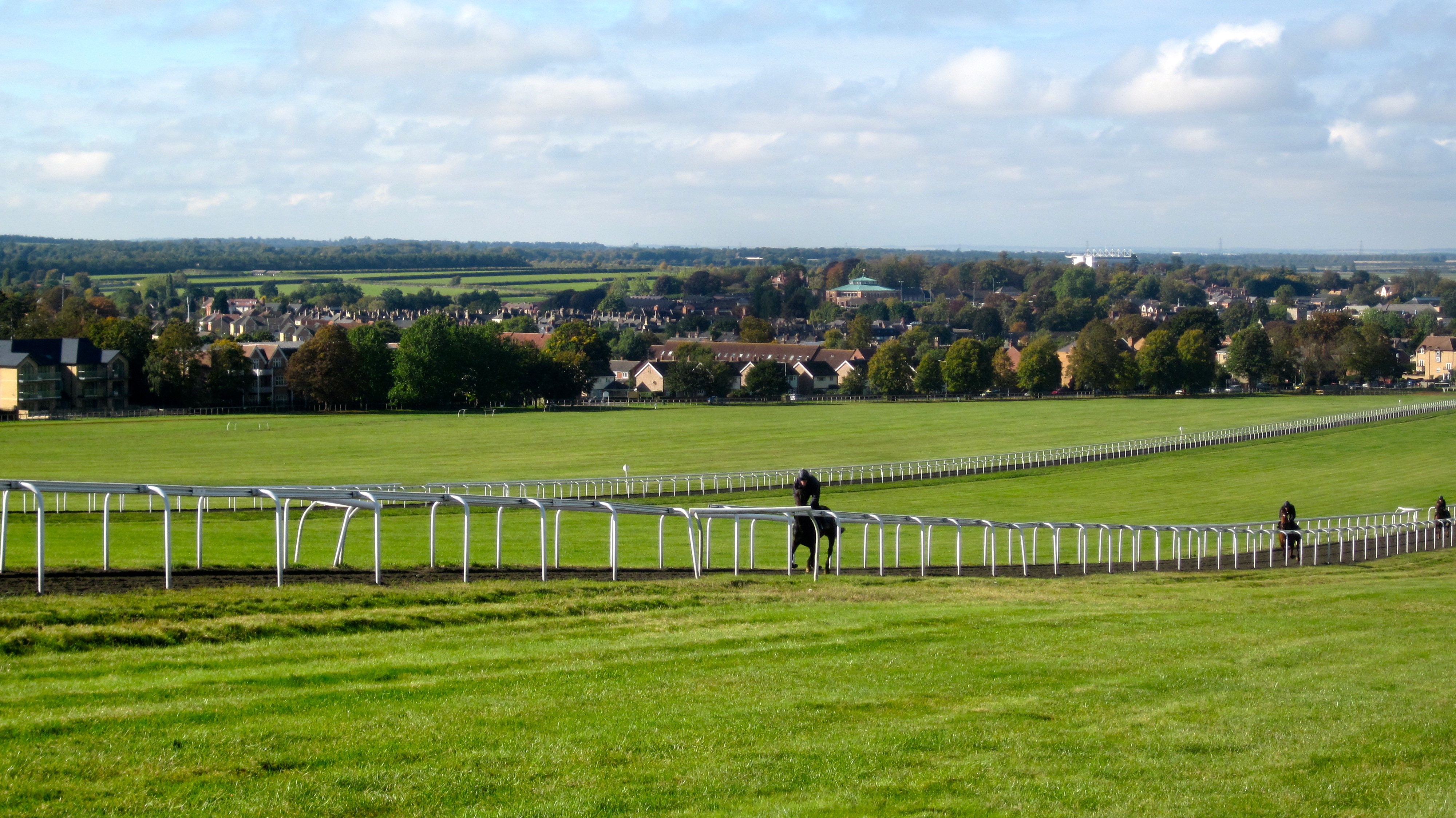
R. Cotton's Ground, Newmarket
R. Cotton's Ground, known today as The Severals, is a cricket ground in Newmarket, Suffolk. The first recorded match on the ground was in 1864, when a...
Nearby Amenities
Located within 500m of 52.229472,0.41677722Have you been to Well Belt?
Leave your review of Well Belt below (or comments, questions and feedback).