Dereham Fen Belt

Wood, Forest in Norfolk King's Lynn and West Norfolk

England

Dereham Fen Belt

The entrance to Cornerways Topsoil near Wissington There's no website, but the track leads to Cornerways Farm who obviously provide bulk despatch of topsoil, as the sign says.
The entrance to Cornerways Topsoil near Wissington Credit: David Howard

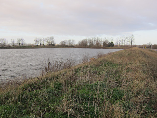
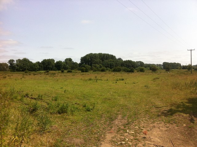
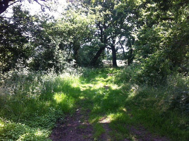
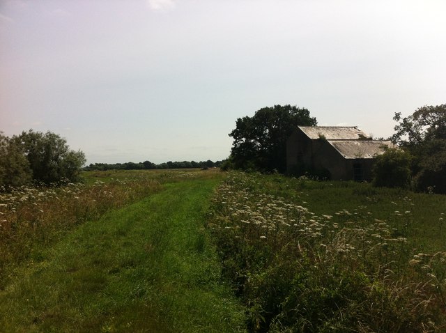
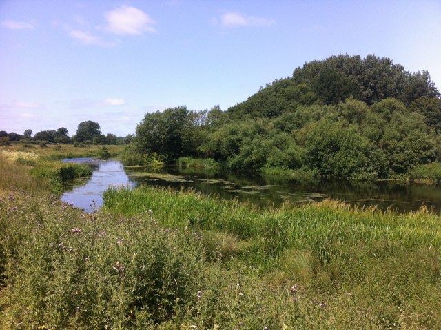
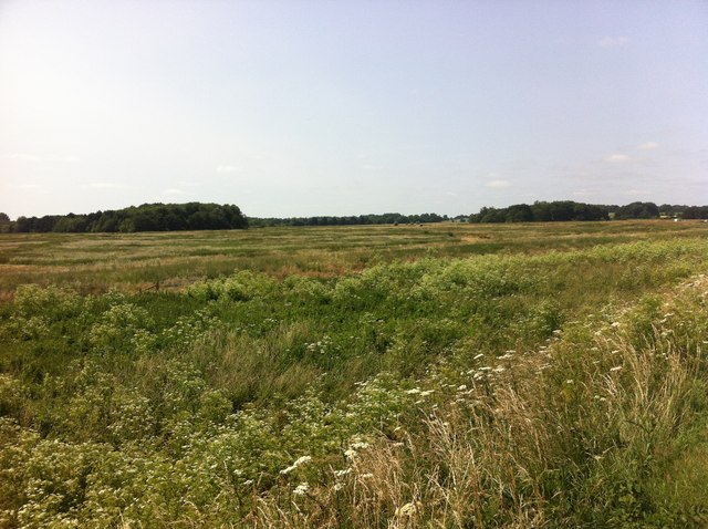
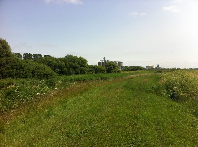
Dereham Fen Belt, located in the county of Norfolk, England, is a significant woodland area known for its rich biodiversity and natural beauty. Covering an extensive area, the fen belt is characterized by its lush greenery, dense forests, and diverse range of plant and animal species.

The woodland is dominated by a variety of tree species, including oak, birch, and willow, which contribute to its picturesque landscape. These trees provide a habitat for numerous bird species, such as woodpeckers, owls, and warblers, making it a haven for birdwatchers and nature enthusiasts.

The fen belt is also home to a thriving population of mammals, including deer, badgers, and foxes. These animals can often be spotted as they roam through the woods, adding to the charm of the area.

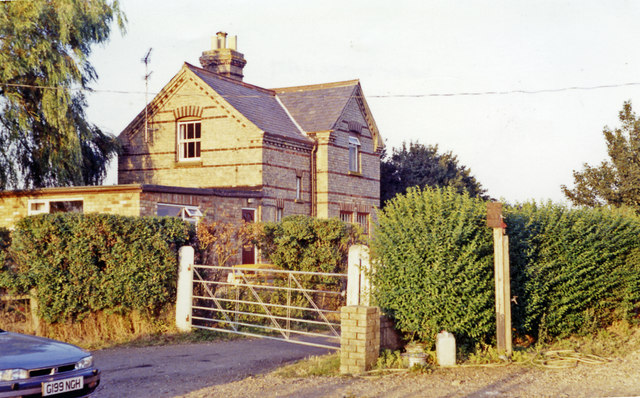
In addition to its biological significance, Dereham Fen Belt has a rich cultural heritage. The woodland has been utilized for centuries, with evidence of human activity dating back to prehistoric times. It has been a source of timber, firewood, and other natural resources for the local communities.

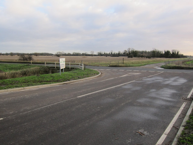
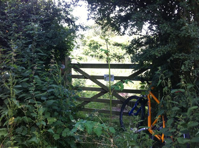
The fen belt is a popular destination for outdoor activities, such as hiking, cycling, and picnicking. Several well-maintained trails and footpaths traverse the woodland, offering visitors the opportunity to explore its beauty and observe the diverse flora and fauna.

Overall, Dereham Fen Belt is a natural treasure in Norfolk, offering a tranquil escape from the hustle and bustle of everyday life. Its stunning woodlands, diverse wildlife, and historical significance make it a must-visit destination for nature lovers and history enthusiasts alike.

If you have any feedback on the listing, please let us know in the comments section below.

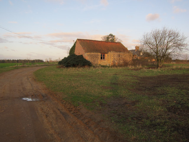
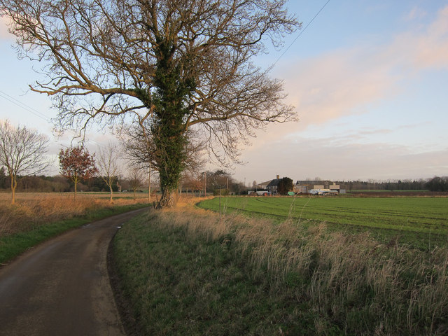
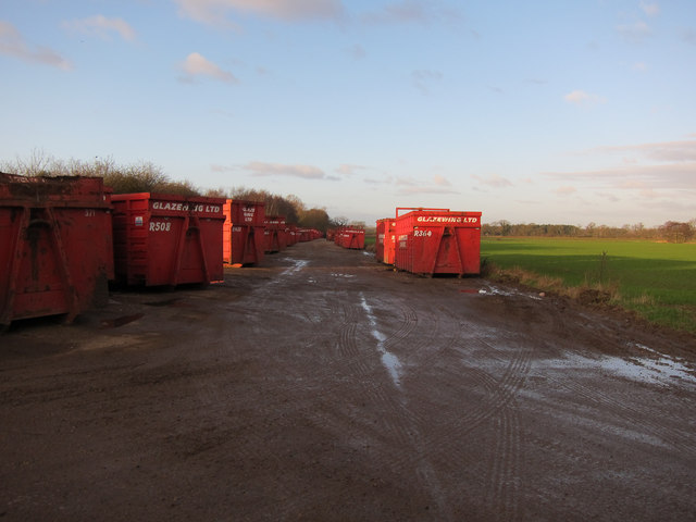
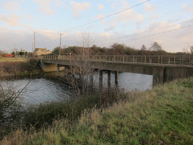
Dereham Fen Belt Images

Images are sourced within 2km of 52.563077/0.42171112 or Grid Reference TL6498. Thanks to Geograph Open Source API. All images are credited.

The entrance to Cornerways Topsoil near Wissington There's no website, but the track leads to Cornerways Farm who obviously provide bulk despatch of topsoil, as the sign says.
The entrance to Cornerways Topsoil near Wissington
There's no website, but the track leads to Cornerways Farm who obviously provide bulk despatch of topsoil, as the sign says.
College Road near Wissington Wissington is on the River Wissey half a mile to the south
College Road near Wissington
Wissington is on the River Wissey half a mile to the south
Field by College Road, Wissington
Roxham Farm outbuilding Turning round at a 'Farm vehicles only' sign.
Roxham Farm outbuilding
Turning round at a 'Farm vehicles only' sign.
Road to Crossways Farm Dead end road that doesn't quite reach the Cut-off Channel.
Road to Crossways Farm
Dead end road that doesn't quite reach the Cut-off Channel.
Glazewing skips Stored close to the recycling plant.
Glazewing skips
Stored close to the recycling plant.
Station Road bridge Over the Cut-off Channel. See <a href="https://www.geograph.org.uk/photo/526169">TL6699 : Passengers no more!</a> for the source of the road name.
Station Road bridge
Over the Cut-off Channel. See TL6699 : Passengers no more! for the source of the road name.
Sugar beet settlement pool For treating the water used in the sugar factory.
Sugar beet settlement pool
For treating the water used in the sugar factory.
Private road off College Road Around the settlement pools by Wissington Sugar Factory.
Private road off College Road
Around the settlement pools by Wissington Sugar Factory.
Abbey & West Dereham station (remains) View eastward, towards Stoke Ferry: ex-GER Denver - Stoke Ferry branch. The station and branch lost their passenger service from 22/9/30, but goods continued on the branch until 19/4/65 - to Abbey until 31/1/66.
Abbey & West Dereham station (remains)
View eastward, towards Stoke Ferry: ex-GER Denver - Stoke Ferry branch. The station and branch lost their passenger service from 22/9/30, but goods continued on the branch until 19/4/65 - to Abbey until 31/1/66.
Lost I'm sure I should be over there somewhere.
Lost
I'm sure I should be over there somewhere.
Thistle Hill Road A bridleway on Hilgay Fen.
Thistle Hill Road
A bridleway on Hilgay Fen.
Please Close Gate I rode past this overgrown gate twice before I finally spotted it. I wish I never had, as the bridleway behind it eventually disappears by the sugar factory.
Please Close Gate
I rode past this overgrown gate twice before I finally spotted it. I wish I never had, as the bridleway behind it eventually disappears by the sugar factory.
River Wissey Bridleway and farm buildings next to the river.
River Wissey
Bridleway and farm buildings next to the river.
River Wissey At Hilgay Fen.
River Wissey
At Hilgay Fen.
Hilgay Wetland Creation Project Work is currently under way by the Norfolk Wildlife Trust to create an alternative reedbed habitat for bitterns, whose present ecosystem will be lost to an influx of saline water, due to changes in flood management at Cley Marshes on the Norfolk coast.
Hilgay Wetland Creation Project
Work is currently under way by the Norfolk Wildlife Trust to create an alternative reedbed habitat for bitterns, whose present ecosystem will be lost to an influx of saline water, due to changes in flood management at Cley Marshes on the Norfolk coast.
Bridleway to nowhere This bridleway along the levee of the River Wissey heads towards Wissington Sugar Factory, but currently disappears into an impassable bank of stinging nettles, marsh grass and willow trees.
Bridleway to nowhere
This bridleway along the levee of the River Wissey heads towards Wissington Sugar Factory, but currently disappears into an impassable bank of stinging nettles, marsh grass and willow trees.
Show me another place!

Dereham Fen Belt is located at Grid Ref: TL6498 (Lat: 52.563077, Lng: 0.42171112)

Administrative County: Norfolk

District: King's Lynn and West Norfolk

Police Authority: Norfolk

What 3 Words

///format.detriment.sublime. Near Southery, Norfolk

Related Wikis

Hilgay Heronry

Hilgay Heronry is a 1.8-hectare (4.4-acre) biological Site of Special Scientific Interest south of Downham Market in Norfolk.This small wood has a nationally...

1974 Norfolk mid-air collision

The 1974 Norfolk mid-air collision happened on 9 August 1974 at Fordham Fen, Norfolk, England when a Royal Air Force McDonnell-Douglas F-4M Phantom FGR...

Abbey and West Dereham railway station

Abbey and West Dereham railway station was a railway station on the line between Downham Market and Stoke Ferry. It served the village of West Dereham...

Hilgay

Hilgay is a village and civil parish in Norfolk, England, 4 miles (6.4 km) from Downham Market. It covers an area of 33.38 km2 (12.89 sq mi) and had a...

Downham Rural District

Downham Rural District was a rural district in Norfolk, England from 1894 to 1974.It was formed under the Local Government Act 1894 based on the Downham...

Wissington, Norfolk

Wissington in Norfolk is the site of British Sugar's largest sugar factory in the UK; it is also the largest in Europe. There has been a sugar factory...

West Dereham

West Dereham is a village and civil parish in the English county of Norfolk. It covers an area of 13.51 km2 (5.22 sq mi) and had a population of 450 at...

West Dereham Abbey

West Dereham Abbey was an abbey in Norfolk, England.St Mary's Abbey, West Dereham, was founded in 1188 by Hubert Walter, Dean of York, at his birthplace...

Have you been to Dereham Fen Belt?

Leave your review of Dereham Fen Belt below (or comments, questions and feedback).