Boundary Belt

Wood, Forest in Norfolk King's Lynn and West Norfolk

England

Boundary Belt

Roxham Farm outbuilding Turning round at a 'Farm vehicles only' sign.
Roxham Farm outbuilding Credit: Hugh Venables

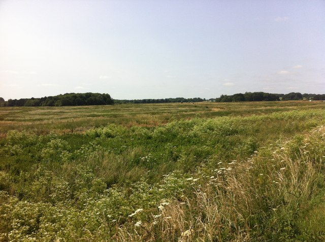
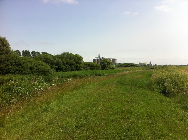
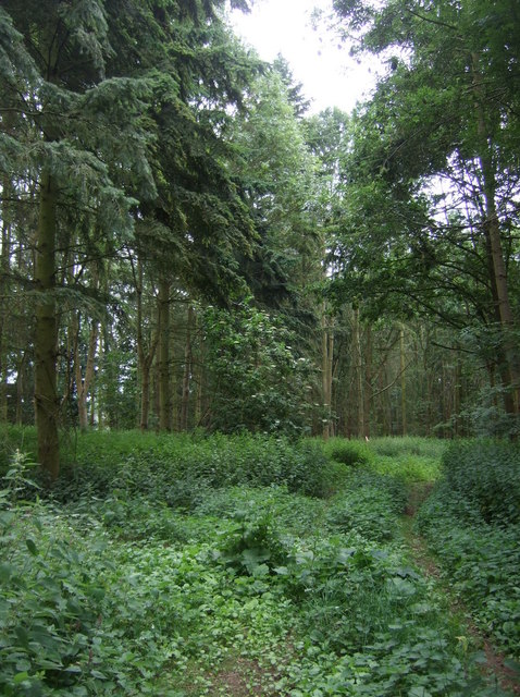
Boundary Belt is a small woodland area located in Norfolk, England. Situated near the town of Wood, it covers an area of approximately 50 acres, making it a relatively compact forest. The woodland is known for its picturesque beauty and is often frequented by locals and tourists alike.

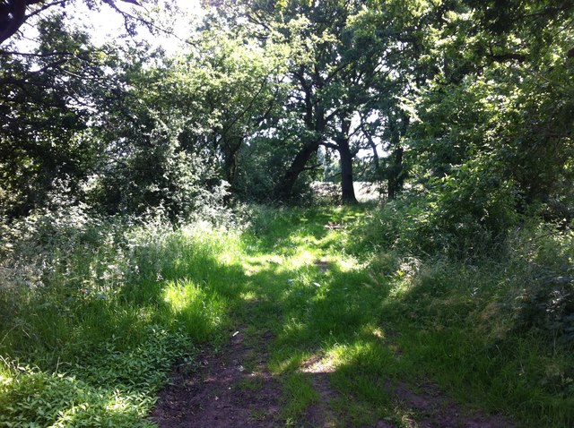
The forest is characterized by a diverse range of tree species, including oak, beech, and birch, which create a lush and vibrant landscape throughout the year. The dense canopy provides ample shade and creates a serene atmosphere, making it an ideal spot for nature lovers and hikers.

Boundary Belt is home to a variety of wildlife, including squirrels, rabbits, and a wide array of bird species. The forest's ecosystem supports a healthy population of these creatures, making it an excellent destination for birdwatching and animal enthusiasts.

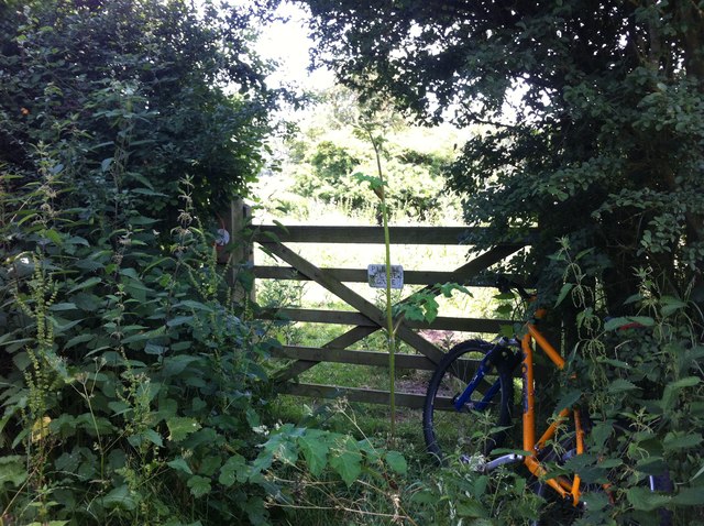
The woodland offers several well-maintained trails and pathways, allowing visitors to explore its natural beauty at their own pace. In addition, there are designated picnic areas and benches strategically placed throughout the forest, providing opportunities for visitors to relax and enjoy the tranquil surroundings.

Boundary Belt is easily accessible, with ample parking available nearby. It is a popular spot for families, nature enthusiasts, and those seeking a peaceful retreat from the hustle and bustle of urban life. Whether it's a leisurely stroll, birdwatching, or simply enjoying a picnic amidst nature, Boundary Belt offers a serene and captivating experience for all who visit.

If you have any feedback on the listing, please let us know in the comments section below.

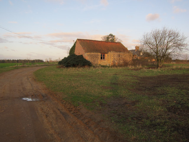
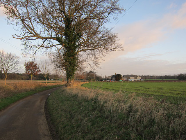
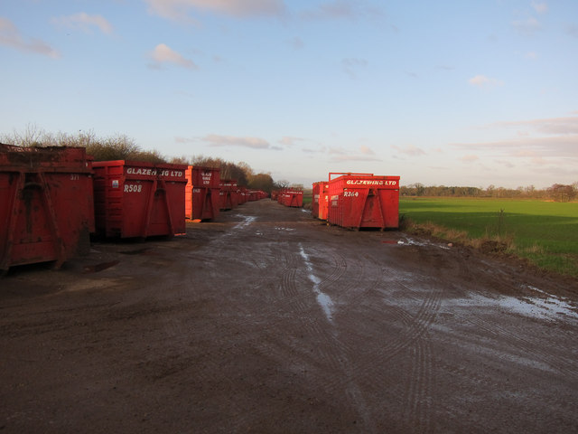
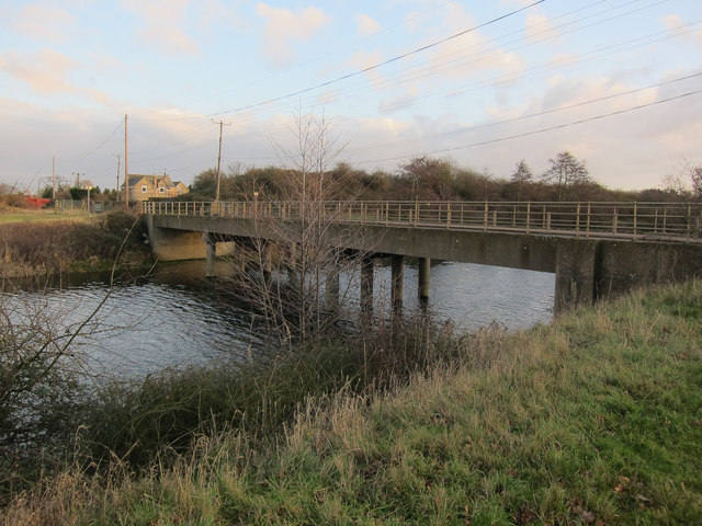
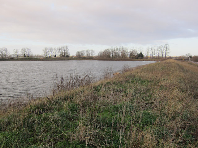
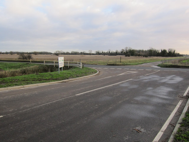
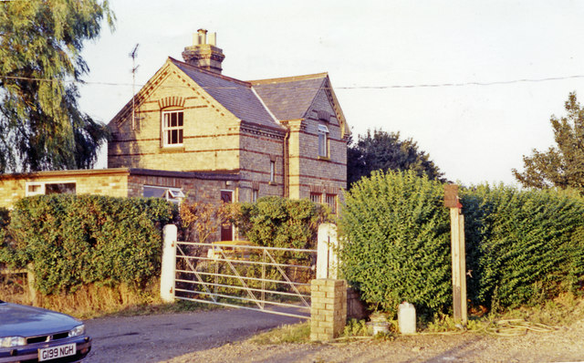
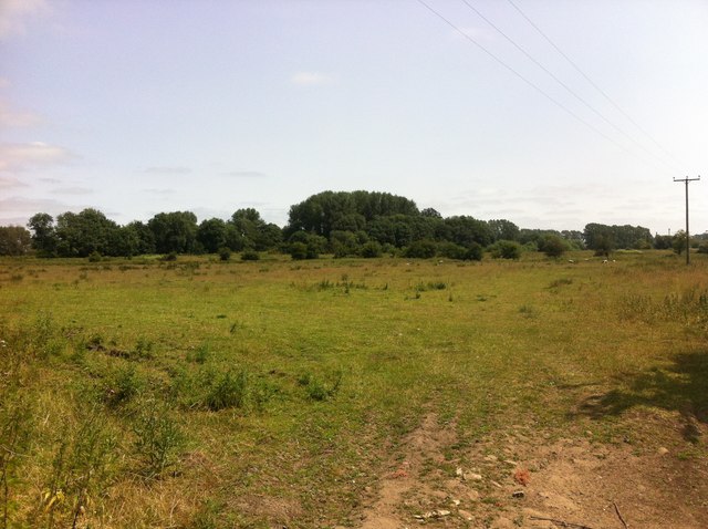
Boundary Belt Images

Images are sourced within 2km of 52.561765/0.42475211 or Grid Reference TL6498. Thanks to Geograph Open Source API. All images are credited.

Roxham Farm outbuilding Turning round at a 'Farm vehicles only' sign.
Roxham Farm outbuilding
Turning round at a 'Farm vehicles only' sign.
Road to Crossways Farm Dead end road that doesn't quite reach the Cut-off Channel.
Road to Crossways Farm
Dead end road that doesn't quite reach the Cut-off Channel.
Glazewing skips Stored close to the recycling plant.
Glazewing skips
Stored close to the recycling plant.
Station Road bridge Over the Cut-off Channel. See <a href="https://www.geograph.org.uk/photo/526169">TL6699 : Passengers no more!</a> for the source of the road name.
Station Road bridge
Over the Cut-off Channel. See TL6699 : Passengers no more! for the source of the road name.
Sugar beet settlement pool For treating the water used in the sugar factory.
Sugar beet settlement pool
For treating the water used in the sugar factory.
Private road off College Road Around the settlement pools by Wissington Sugar Factory.
Private road off College Road
Around the settlement pools by Wissington Sugar Factory.
Abbey & West Dereham station (remains) View eastward, towards Stoke Ferry: ex-GER Denver - Stoke Ferry branch. The station and branch lost their passenger service from 22/9/30, but goods continued on the branch until 19/4/65 - to Abbey until 31/1/66.
Abbey & West Dereham station (remains)
View eastward, towards Stoke Ferry: ex-GER Denver - Stoke Ferry branch. The station and branch lost their passenger service from 22/9/30, but goods continued on the branch until 19/4/65 - to Abbey until 31/1/66.
Lost I'm sure I should be over there somewhere.
Lost
I'm sure I should be over there somewhere.
Thistle Hill Road A bridleway on Hilgay Fen.
Thistle Hill Road
A bridleway on Hilgay Fen.
Please Close Gate I rode past this overgrown gate twice before I finally spotted it. I wish I never had, as the bridleway behind it eventually disappears by the sugar factory.
Please Close Gate
I rode past this overgrown gate twice before I finally spotted it. I wish I never had, as the bridleway behind it eventually disappears by the sugar factory.
River Wissey Bridleway and farm buildings next to the river.
River Wissey
Bridleway and farm buildings next to the river.
River Wissey At Hilgay Fen.
River Wissey
At Hilgay Fen.
Hilgay Wetland Creation Project Work is currently under way by the Norfolk Wildlife Trust to create an alternative reedbed habitat for bitterns, whose present ecosystem will be lost to an influx of saline water, due to changes in flood management at Cley Marshes on the Norfolk coast.
Hilgay Wetland Creation Project
Work is currently under way by the Norfolk Wildlife Trust to create an alternative reedbed habitat for bitterns, whose present ecosystem will be lost to an influx of saline water, due to changes in flood management at Cley Marshes on the Norfolk coast.
Bridleway to nowhere This bridleway along the levee of the River Wissey heads towards Wissington Sugar Factory, but currently disappears into an impassable bank of stinging nettles, marsh grass and willow trees.
Bridleway to nowhere
This bridleway along the levee of the River Wissey heads towards Wissington Sugar Factory, but currently disappears into an impassable bank of stinging nettles, marsh grass and willow trees.
Track in Pheasant Wood
Pheasant Wood
Pheasant Wood
Hilgay Road Heading east by Pheasant Wood.
Hilgay Road
Heading east by Pheasant Wood.
Sharp bend in College Road (B1160)  Heading north towards Wereham.
Sharp bend in College Road (B1160)
Heading north towards Wereham.
Show me another place!

Boundary Belt is located at Grid Ref: TL6498 (Lat: 52.561765, Lng: 0.42475211)

Administrative County: Norfolk

District: King's Lynn and West Norfolk

Police Authority: Norfolk

What 3 Words

///poorly.escapes.petal. Near Southery, Norfolk

Related Wikis

Hilgay Heronry

Hilgay Heronry is a 1.8-hectare (4.4-acre) biological Site of Special Scientific Interest south of Downham Market in Norfolk.This small wood has a nationally...

Abbey and West Dereham railway station

Abbey and West Dereham railway station was a railway station on the line between Downham Market and Stoke Ferry. It served the village of West Dereham...

1974 Norfolk mid-air collision

The 1974 Norfolk mid-air collision happened on 9 August 1974 at Fordham Fen, Norfolk, England when a Royal Air Force McDonnell-Douglas F-4M Phantom FGR...

Wissington, Norfolk

Wissington in Norfolk is the site of British Sugar's largest sugar factory in the UK; it is also the largest in Europe. There has been a sugar factory...

Nearby Amenities

Located within 500m of 52.561765,0.42475211
Fixme: Where does Public Footpath go from here?
Lat/Long: 52.5591209/0.4268948
The data included in this document is from www.openstreetmap.org. The data is made available under ODbL.

Have you been to Boundary Belt?

Leave your review of Boundary Belt below (or comments, questions and feedback).