Fen Side
Settlement in Lincolnshire East Lindsey
England
Fen Side

Fen Side is a small village located in the county of Lincolnshire, England. Situated near the east coast of the country, it lies approximately 20 miles northeast of the city of Lincoln. The village is nestled within the scenic landscape of the Lincolnshire Fens, renowned for its flat, fertile agricultural land.
Fen Side is a tranquil and close-knit community, with a population of around 400 residents. It offers a peaceful countryside setting, making it an attractive destination for those seeking a slower pace of life away from the hustle and bustle of larger cities. The village is characterized by charming cottages and picturesque views of the surrounding countryside.
One of the notable features of Fen Side is its proximity to several nature reserves and wildlife habitats. The area is a haven for birdwatchers and nature enthusiasts, with opportunities to spot a variety of species in their natural habitats. The nearby Saltfleetby-Theddlethorpe Dunes National Nature Reserve is particularly popular, offering stunning coastal views and a diverse range of flora and fauna.
Despite its small size, Fen Side is well-connected to neighboring towns and cities. The village has good road links, making it easily accessible by car, and there are regular bus services connecting it to nearby settlements. The village also benefits from a close proximity to the coast, with popular seaside destinations such as Skegness and Mablethorpe within a short driving distance.
Overall, Fen Side is a charming and peaceful village, offering a rural escape with access to stunning natural landscapes and nearby coastal attractions.
If you have any feedback on the listing, please let us know in the comments section below.
Fen Side Images
Images are sourced within 2km of 53.102525/0.011443 or Grid Reference TF3458. Thanks to Geograph Open Source API. All images are credited.


Fen Side is located at Grid Ref: TF3458 (Lat: 53.102525, Lng: 0.011443)
Division: Parts of Lindsey
Administrative County: Lincolnshire
District: East Lindsey
Police Authority: Lincolnshire
What 3 Words
///weeknight.divided.spins. Near Stickney, Lincolnshire
Nearby Locations
Related Wikis
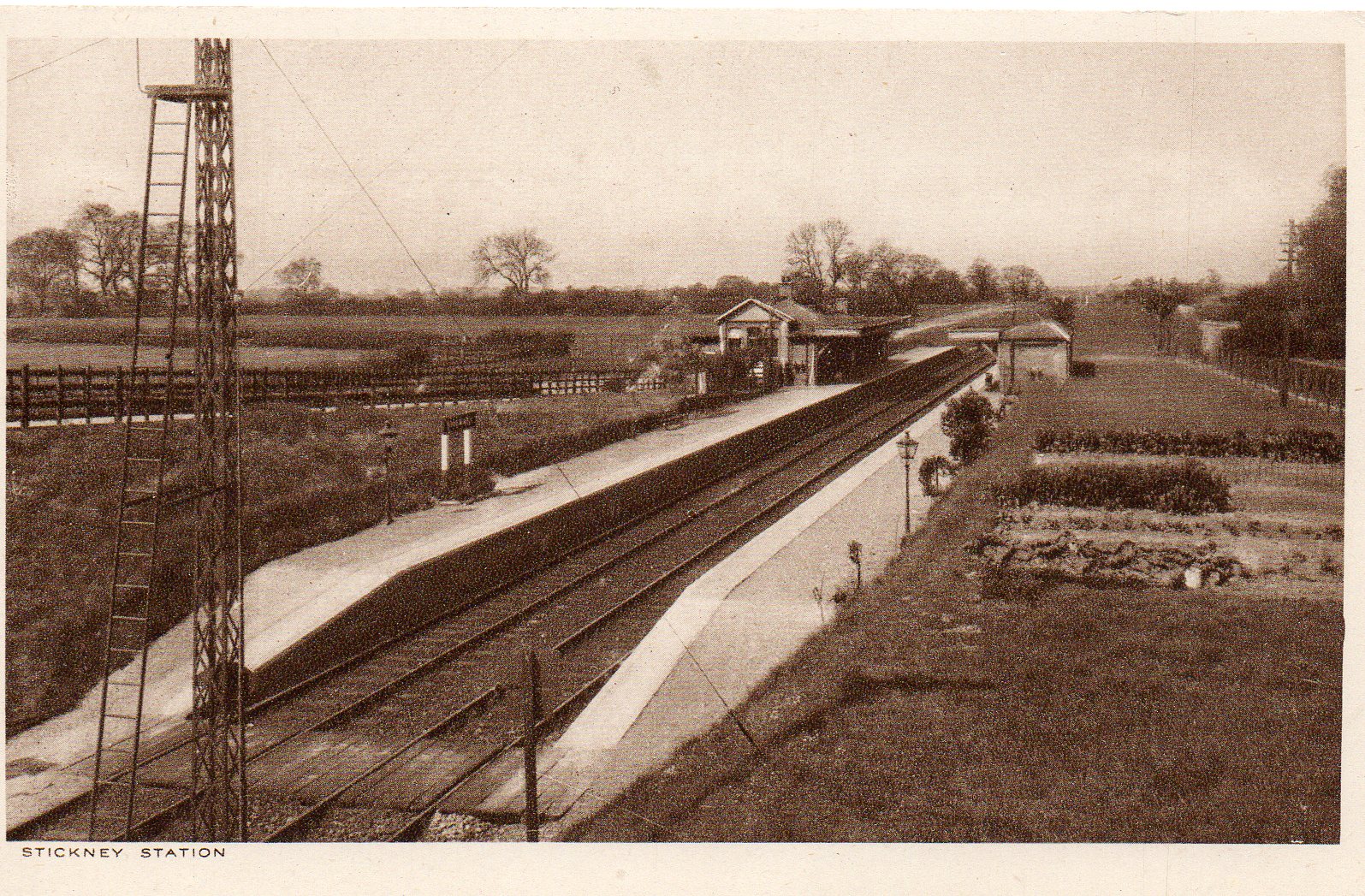
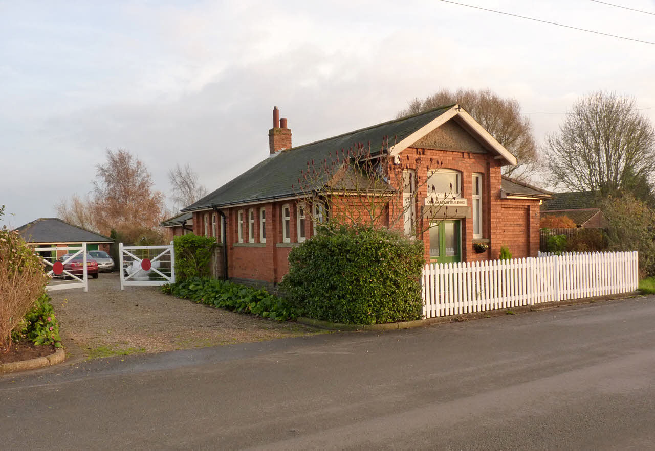
Stickney railway station
Stickney railway station is a former station that served the village of Stickney, in Lincolnshire, England. The station was on the Kirkstead and Little...

William Lovell Church of England Academy
William Lovell Church of England Academy (formerly William Lovell Church of England School, William Lovell Secondary-School) is a coeducational Church...

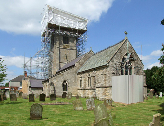
Stickney, Lincolnshire
Stickney is a linear village and civil parish in the East Lindsey district of Lincolnshire, England. It was an ancient parish in Lincoln County. Its population...
Stickford
Stickford is a village and civil parish in the East Lindsey district of Lincolnshire, England. The village is situated near the A16 road and approximately...
Keal Cotes
Keal Cotes, forming part of West Keal parish, is a small linear village in East Lindsey district of Lincolnshire, England. It is situated on the A16 road...
Midville railway station
Midville railway station was a station in Midville, Lincolnshire, England. It was on the line between Lincoln and Firsby. The station opened in 1913 and...

New Bolingbroke
New Bolingbroke is a village in the civil parish of Carrington and New Bolingbroke, in the East Lindsey district of Lincolnshire, England. It is in the...

Midville, Lincolnshire
Midville is a small village and civil parish in the East Lindsey district of Lincolnshire, England. It is situated about 10 miles (16 km) north from Boston...
Nearby Amenities
Located within 500m of 53.102525,0.011443Have you been to Fen Side?
Leave your review of Fen Side below (or comments, questions and feedback).