Fen Street
Settlement in Suffolk West Suffolk
England
Fen Street
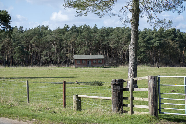
Fen Street is a small village located in the county of Suffolk, England. Situated in the East Anglian region, it lies approximately 12 miles southwest of the town of Ipswich. With a population of around 300 residents, Fen Street is a quintessential English countryside village, known for its picturesque landscapes and charming rural atmosphere.
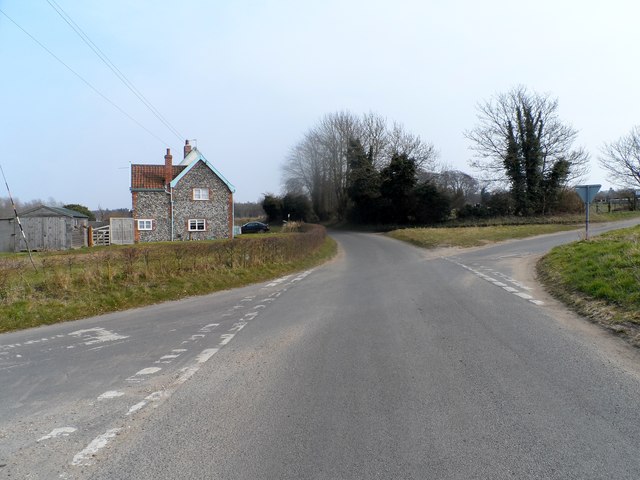
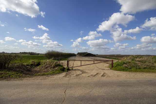
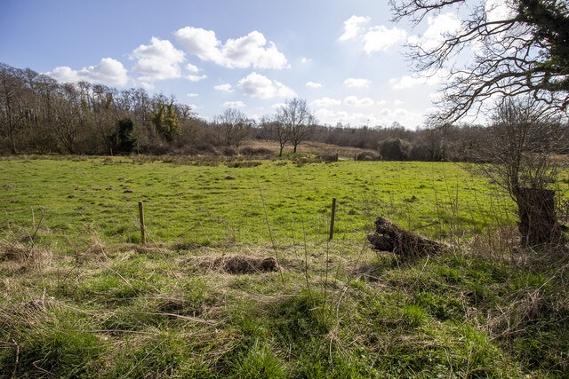
The village is surrounded by rolling green fields, dotted with grazing livestock and bordered by traditional hedgerows. It is nestled in the heart of the Suffolk countryside, offering a peaceful and tranquil setting. Fen Street is primarily an agricultural community, with farming playing a significant role in the local economy.
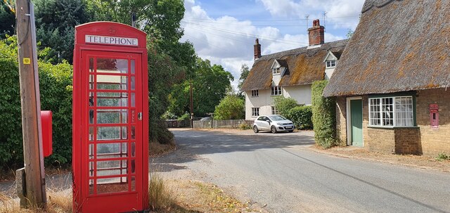
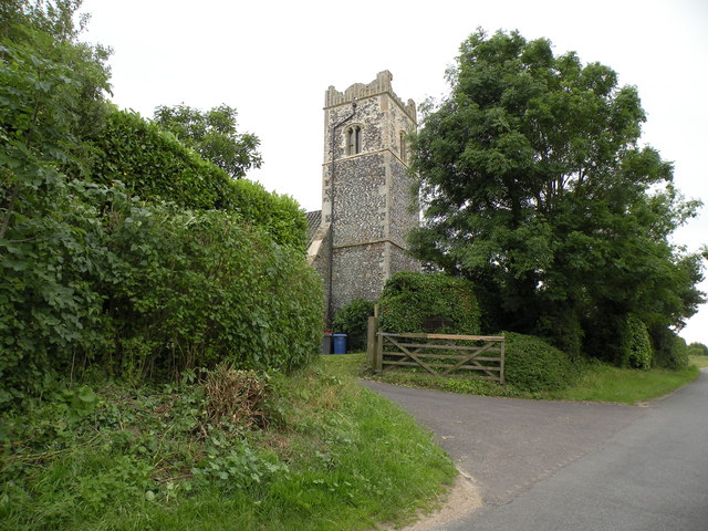
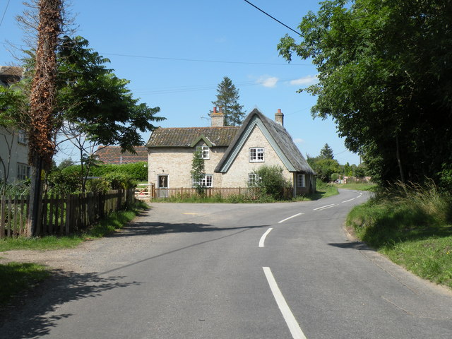
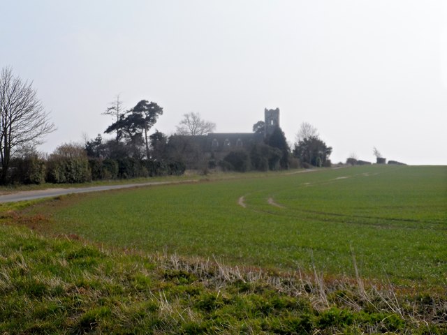
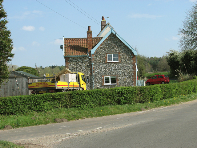
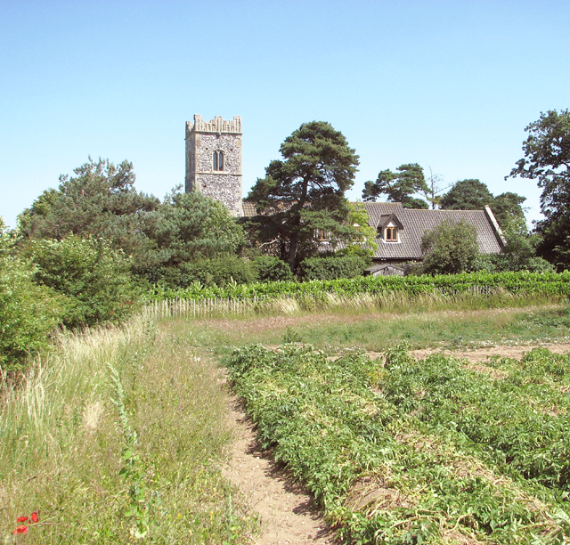
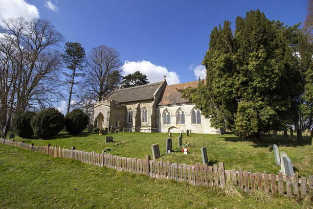
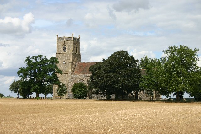
The village itself is characterized by its quaint cottages, many of which date back several centuries, showcasing the area's historical charm. The St. Mary's Church, a prominent feature in Fen Street, is a Grade II listed building that stands as a testament to the village's rich heritage.
For amenities, Fen Street boasts a small community center, which serves as a gathering place for local events and activities. The village also has a primary school, providing education to the local children. However, for more extensive services, residents typically rely on the nearby towns and cities.
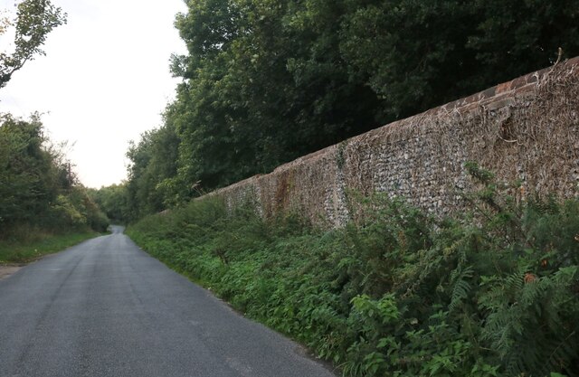
Fen Street is well-connected to the surrounding areas via road networks, making it easily accessible for both residents and visitors. The village's idyllic countryside setting, combined with its close proximity to larger towns, makes it an attractive place to live for those seeking a peaceful retreat within reach of urban amenities.
If you have any feedback on the listing, please let us know in the comments section below.
Fen Street Images
Images are sourced within 2km of 52.373248/0.90722966 or Grid Reference TL9879. Thanks to Geograph Open Source API. All images are credited.


Fen Street is located at Grid Ref: TL9879 (Lat: 52.373248, Lng: 0.90722966)
Administrative County: Suffolk
District: West Suffolk
Police Authority: Suffolk
What 3 Words
///sides.mimic.proved. Near Rickinghall, Suffolk
Nearby Locations
Related Wikis
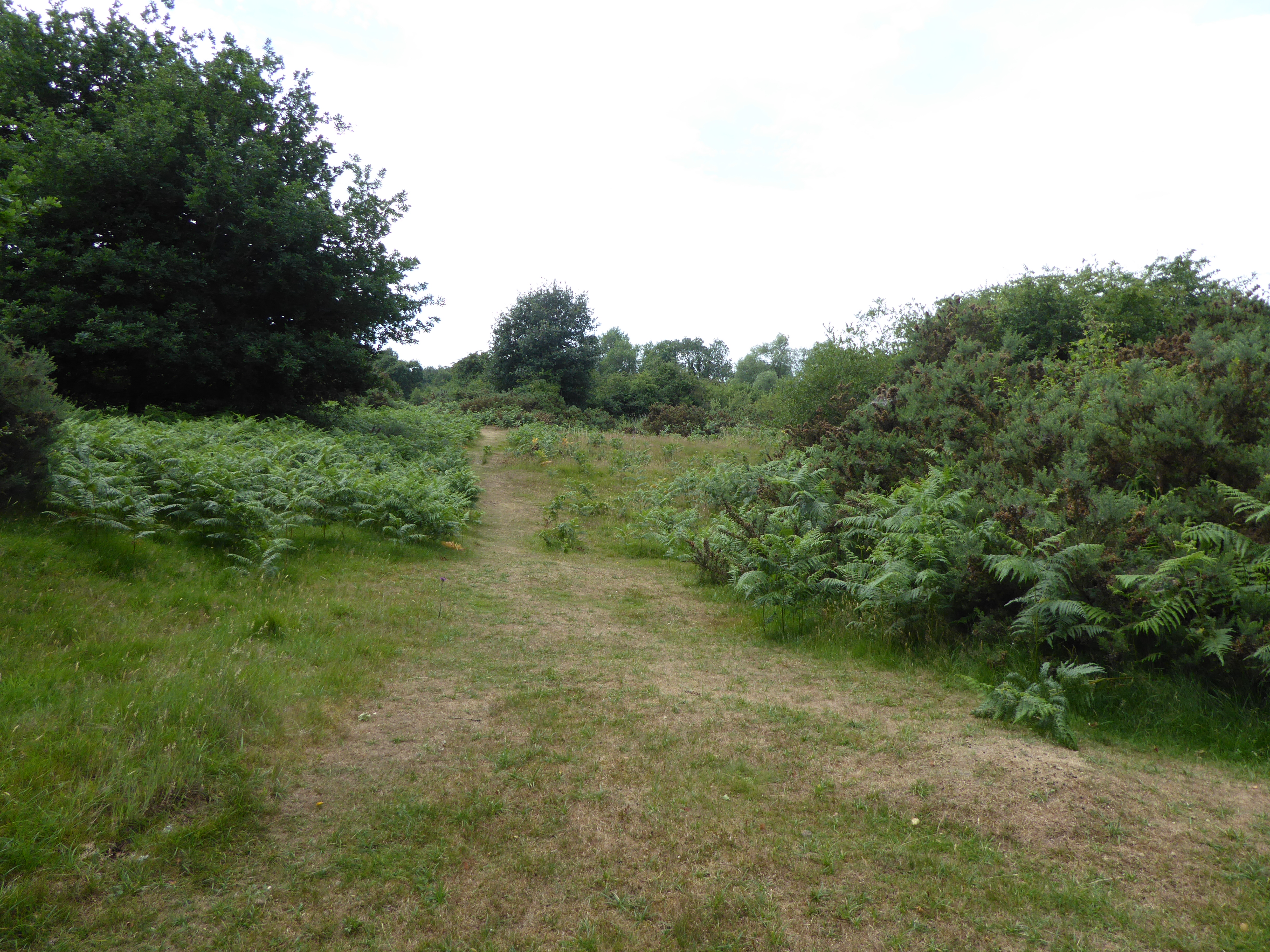
Weston Fen, Suffolk
Weston Fen is a 49.7-hectare (123-acre) biological Site of Special Scientific Interest in Hopton in Suffolk. It is part of the Waveney and Little Ouse...

RAF Knettishall
RAF Knettishall is a former World War II airfield in Suffolk. During the conflict, it was numbered as Station 136 by the United States Army Air Forces...
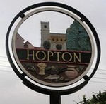
Hopton, Suffolk
Hopton is a village and civil parish in the West Suffolk district of Suffolk in eastern England. Located just south of the Norfolk border on the B1111...

Hopton Fen
Hopton Fen is a 15.3-hectare (38-acre) biological Site of Special Scientific Interest north of Hopton in Suffolk. It is managed by the Suffolk Wildlife...

Knettishall
Knettishall is a village and civil parish in the West Suffolk district of Suffolk in eastern England. Located on the south bank of the River Little Ouse...
Market Weston
Market Weston is a small village and civil parish in the West Suffolk district of Suffolk in eastern England. It is located near the Norfolk border around...

Bugg's Hole Fen, Thelnetham
Bugg's Hole Fen is a 3.7-hectare (9.1-acre) biological Site of Special Scientific Interest north-west of Thelnetham in Suffolk.This calcareous fen in the...

Riddlesworth Hall
Riddlesworth Hall is a country house, and was formerly used as a boarding school. It is located in Riddlesworth, Norfolk, England. == History == It was...
Related Videos

Walking In Stillness
So I walked the 5 or 6 miles home from the doctor's the other day. It was fairly bleak and an otherwise unremarkable day to be out ...
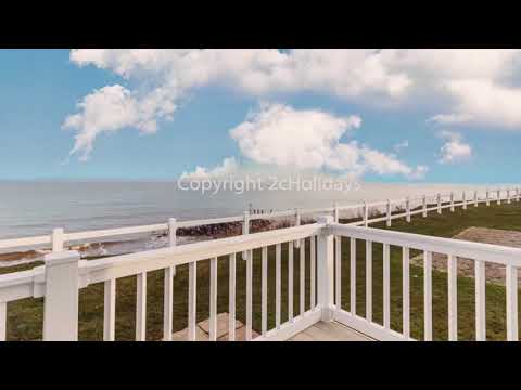
🌈☀️Luxury caravan for hire at Hopton Haven. This luxury caravan has a full seaview at Hopton.
Luxury caravan for hire with a full seaview at Haven Hopton. Book online on www.2cholidays.co.uk property ref 80004. Or to book ...
Caravan for hire at Hopton Haven in Norfolk
Great family caravan at Hopton. 15% off caravan holidays at Hopton here. Go to www.2cholidays.co.uk use '15off' to book a ...

Hobbyking Teksumo. Mobius camera with a C2 wide angle lens.
Trying out a new C2 lens Mobius, I almost ended up totalling it on its maiden recording.
Nearby Amenities
Located within 500m of 52.373248,0.90722966Have you been to Fen Street?
Leave your review of Fen Street below (or comments, questions and feedback).