Fen End

Settlement in Lincolnshire South Holland

England

Fen End

Prepared field, Cowbit Common This will probably be planted with brassicas in the next few days.
Prepared field, Cowbit Common Credit: Jonathan Thacker

Fen End is a small village located in the county of Lincolnshire, England. Situated in the South Holland district, it is nestled amidst the picturesque Fenland countryside. The village is located approximately 10 miles east of Spalding and 15 miles west of Boston.

With a population of around 200 residents, Fen End maintains a close-knit community atmosphere. The village is characterized by its charming rural setting, surrounded by vast expanses of flat agricultural land and scenic waterways. The area is renowned for its fertile soil, which supports a thriving farming industry.

Fen End boasts a range of traditional architectural styles, with many properties dating back several centuries. The village church, St. Peter's, is a prominent landmark and serves as a focal point for the community. The church is renowned for its stunning stained glass windows and historic interior.

Although small in size, Fen End offers a range of amenities to its residents. These include a village hall, a local pub, and a primary school. The village also benefits from its proximity to nearby towns, providing access to a wider range of services and facilities.

The tranquility and natural beauty of Fen End make it an attractive destination for nature lovers and outdoor enthusiasts. The surrounding countryside offers ample opportunities for walking, cycling, and birdwatching. Additionally, the nearby River Glen provides fishing opportunities for angling enthusiasts.

Overall, Fen End presents an idyllic rural retreat, combining a strong sense of community with the natural beauty of the Fenland landscape.

If you have any feedback on the listing, please let us know in the comments section below.
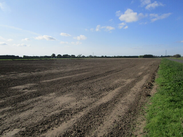
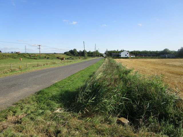
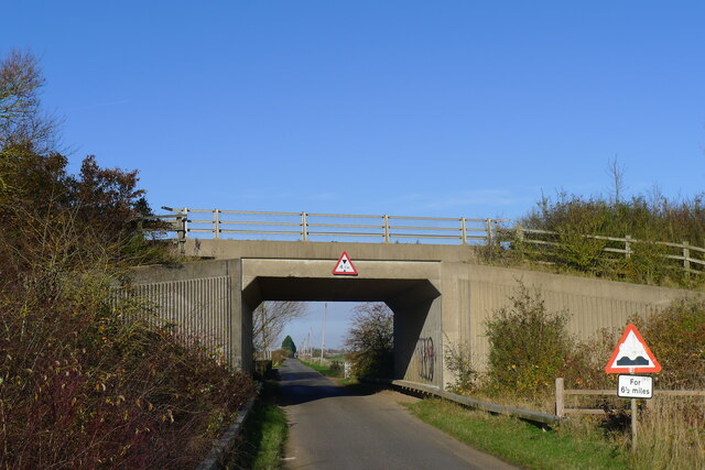
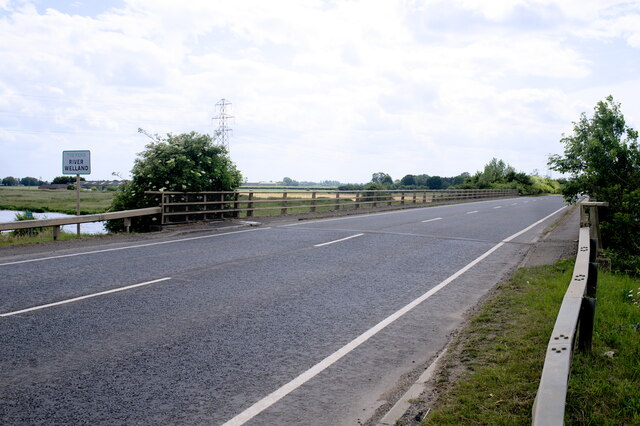
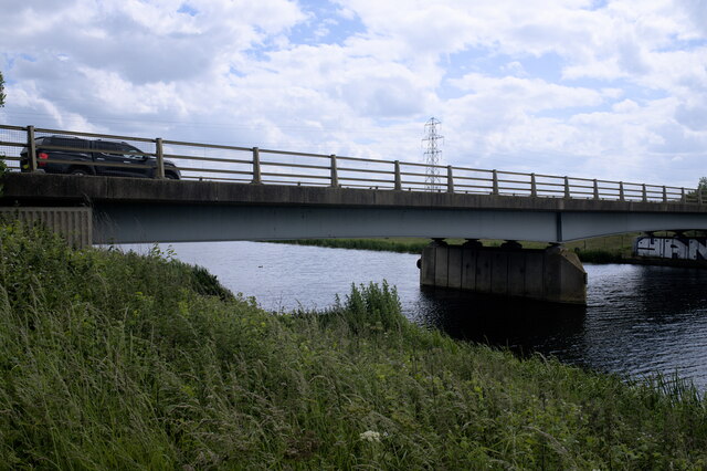
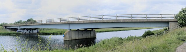
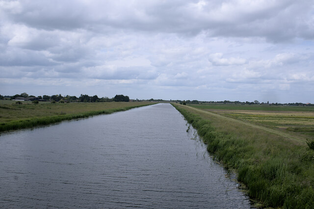
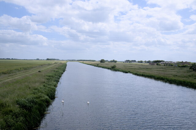
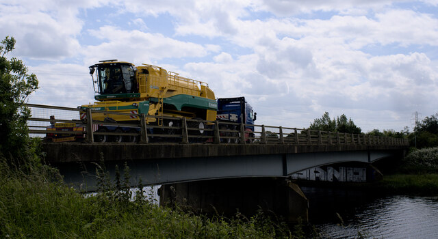
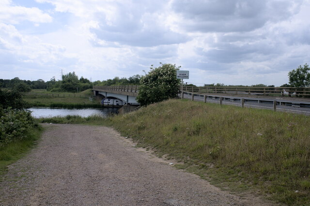
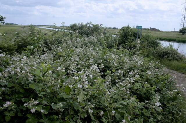
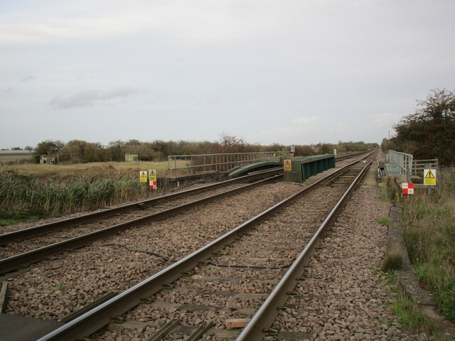
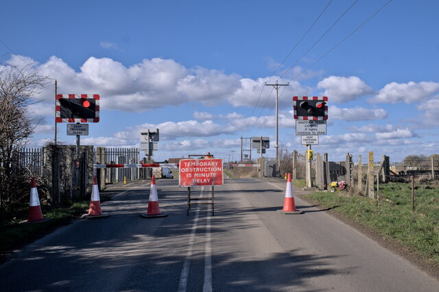
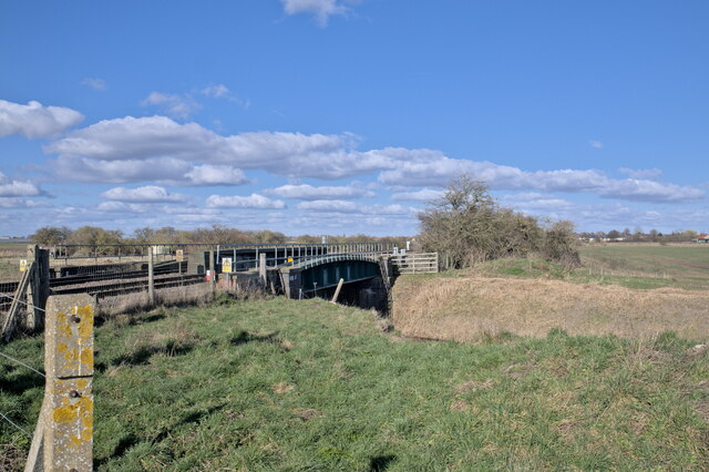
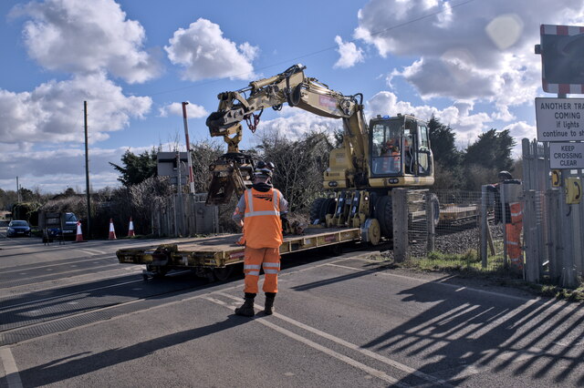
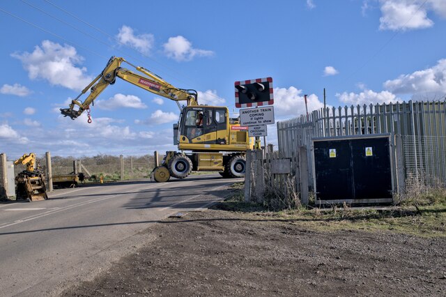
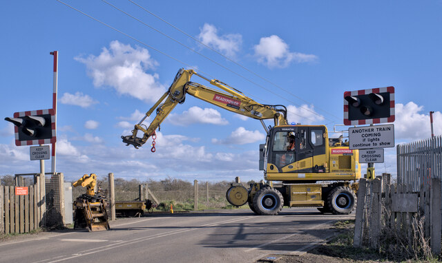
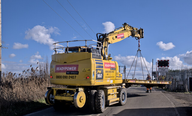
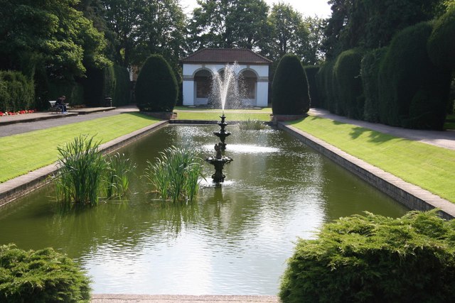
Fen End Images

Images are sourced within 2km of 52.7679/-0.1604 or Grid Reference TF2420. Thanks to Geograph Open Source API. All images are credited.

Prepared field, Cowbit Common This will probably be planted with brassicas in the next few days.
Prepared field, Cowbit Common
This will probably be planted with brassicas in the next few days.
Cradge Bank Road The Welland Bank on the left. The Spalding bypass crossing in the distance.
Cradge Bank Road
The Welland Bank on the left. The Spalding bypass crossing in the distance.
Cradge Bank Road passing under the A1175
Deck of a bridge This bridge carries the A1175 over the River Welland to the south of Spalding.  The A1175 is the road formally the route of the A16 between Spalding Common and Stamford, but when the bypass was built to the east of Spalding in 1995, this route was extended over the Welland to connect with the new route of the A16, which now goes down to join the Peterborough ring roads by passing to the east of Crownland.
Deck of a bridge
This bridge carries the A1175 over the River Welland to the south of Spalding. The A1175 is the road formally the route of the A16 between Spalding Common and Stamford, but when the bypass was built to the east of Spalding in 1995, this route was extended over the Welland to connect with the new route of the A16, which now goes down to join the Peterborough ring roads by passing to the east of Crownland.
Welland Bridge A side view of the bridge in <a href="https://www.geograph.org.uk/photo/7204972">TF2319 : Deck of a bridge</a>.
Welland Bridge
A side view of the bridge in TF2319 : Deck of a bridge.
Across the Welland This is the bridge seen in <a href="https://www.geograph.org.uk/photo/7204972">TF2319 : Deck of a bridge</a>, from the Southern side.  Built in 1995 as part of the Spalding Bypass scheme, the similarities to <a href="https://www.geograph.org.uk/photo/7204203">TF2625 : Bypass over the Welland</a> at the other end of the town are obvious.  These two are the most modern bridges across the Welland.
Across the Welland
This is the bridge seen in TF2319 : Deck of a bridge, from the Southern side. Built in 1995 as part of the Spalding Bypass scheme, the similarities to TF2625 : Bypass over the Welland at the other end of the town are obvious. These two are the most modern bridges across the Welland.
The River Welland Looking downstream toward Spalding from <a href="https://www.geograph.org.uk/photo/7204972">TF2319 : Deck of a bridge</a>.
The River Welland
Looking downstream toward Spalding from TF2319 : Deck of a bridge.
Looking upstream The Welland seen from <a href="https://www.geograph.org.uk/photo/7204972">TF2319 : Deck of a bridge</a>, looking upstream across the fens of Lincolnshire.
Looking upstream
The Welland seen from TF2319 : Deck of a bridge, looking upstream across the fens of Lincolnshire.
Big load on the bridge A large, expensive, and very shiny combine harvester, sans cutters, on a low loader crossing the Welland Bridge.
Big load on the bridge
A large, expensive, and very shiny combine harvester, sans cutters, on a low loader crossing the Welland Bridge.
The track down to the riverbank The riverbank in question is, as the sign on the bridge says, the River Welland.
The track down to the riverbank
The riverbank in question is, as the sign on the bridge says, the River Welland.
Bramble patch A patch of brambles near the River Welland.  A fenland view beyond.
Bramble patch
A patch of brambles near the River Welland. A fenland view beyond.
Railway crossing South Drove Drain
Crossing Closed The level crossing on South Drove was used as part of the works in Deeping St Nicholas (and the two accommodation crossings between there and here), to give access for maintenance vehicles.  Here it has been briefly closed.
Crossing Closed
The level crossing on South Drove was used as part of the works in Deeping St Nicholas (and the two accommodation crossings between there and here), to give access for maintenance vehicles. Here it has been briefly closed.
Bridge over fenland drain The railway line to Spalding carried over the South Drove Drain.
Bridge over fenland drain
The railway line to Spalding carried over the South Drove Drain.
Railway machinery A road-rail machine with two flat cars.  It is coming here to clear the line so that possession can be relinquished by the maintainers in due course.

The machine is based on a Komatsu PW160 excavator with liftable rail wheels added, and some towing eyes for the trucks.
Railway machinery
A road-rail machine with two flat cars. It is coming here to clear the line so that possession can be relinquished by the maintainers in due course. The machine is based on a Komatsu PW160 excavator with liftable rail wheels added, and some towing eyes for the trucks.
Taking a bow The rail trucks have been uncoupled, and the machine is making the transition to road wheels - the rail wheels at the back are being raised, which lowers the road wheels onto the ground.  The transition is complete in <a href="https://www.geograph.org.uk/photo/7417783">TF2219 : All-square</a>.
Taking a bow
The rail trucks have been uncoupled, and the machine is making the transition to road wheels - the rail wheels at the back are being raised, which lowers the road wheels onto the ground. The transition is complete in TF2219 : All-square.
All-square After <a href="https://www.geograph.org.uk/photo/7417770">TF2219 : Taking a bow</a> The front rail wheels were lifted and the machine is standing on rubber tyres.
All-square
After TF2219 : Taking a bow The front rail wheels were lifted and the machine is standing on rubber tyres.
Recovering the rail truck After <a href="https://www.geograph.org.uk/photo/7417783">TF2219 : All-square</a> saw the powered unit leave the railway, it used it's lifting arm to recover one of the towed rail trucks, which will be stored in the crossing yard.
Recovering the rail truck
After TF2219 : All-square saw the powered unit leave the railway, it used it's lifting arm to recover one of the towed rail trucks, which will be stored in the crossing yard.
Show me another place!

Fen End is located at Grid Ref: TF2420 (Lat: 52.7679, Lng: -0.1604)

Division: Parts of Holland

Administrative County: Lincolnshire

District: South Holland

Police Authority: Lincolnshire

What 3 Words

///festivity.pouch.slang. Near Spalding, Lincolnshire

Nearby Locations

Fen End

Related Wikis

New River (Fens)

The New River is a drainage system in the South Holland district of Lincolnshire, England. Rising just east of Sisson's Farm near Crowland it flows very...

Spalding Rural District

Spalding was a rural district in Holland in Lincolnshire, England from 1894 to 1974. It was formed under the Local Government Act 1894 from the Spalding...

Gordon Boswell Romany Museum

The Gordon Boswell Romany Museum is the lifetime's work of Gordon Boswell (died 27 August 2016, aged 76), who amassed a collection of artefacts, photographs...

Spalding Grammar School

Spalding Grammar School (SGS), fully known as The Queen Elizabeth Royal Free Grammar School Spalding, is an 11–18 boys' grammar school in Spalding, Lincolnshire...

Spalding War Memorial

Spalding War Memorial is a First World War memorial in the gardens of Ayscoughfee Hall (pronounced ) in Spalding, Lincolnshire, in eastern England. It...

Ayscoughfee Hall

Ayscoughfee Hall is a grade I listed building and modest associated parkland in central Spalding, Lincolnshire, England, and is a landmark on the fen...

Spalding High School, Lincolnshire

Spalding High School (SHS) is a grammar school for girls and a mixed sixth form located in Spalding, Lincolnshire, England. == Location and admissions... ==

Spalding, Lincolnshire

Spalding () is a market town on the River Welland in the South Holland district of Lincolnshire, England. The town had a population of 34,113 at the 2017...

Nearby Amenities

Located within 500m of 52.7679,-0.1604
Cowbit Wash
Place: locality
Source: Bing
Lat/Long: 52.7676723/-0.1651316
Fen End
Place: isolated_dwelling
Source: Bing
Lat/Long: 52.7672605/-0.1599309
Locks Farm
Place: farm
Source: Bing
Lat/Long: 52.7722292/-0.1587891
Elm Tree House
Place: isolated_dwelling
Lat/Long: 52.7700971/-0.1604332
Power: pole
Lat/Long: 52.7657095/-0.1546951
Power: pole
Lat/Long: 52.7653848/-0.1558009
Power: pole
Lat/Long: 52.7650945/-0.156805
Power: pole
Lat/Long: 52.7647919/-0.1578986
Power: pole
Lat/Long: 52.7642864/-0.1610088
Power: pole
Lat/Long: 52.7645056/-0.1589149
The data included in this document is from www.openstreetmap.org. The data is made available under ODbL.

Have you been to Fen End?

Leave your review of Fen End below (or comments, questions and feedback).