Fen End
Settlement in Warwickshire
England
Fen End

Fen End is a small rural village located in the county of Warwickshire, England. Situated approximately 10 miles southeast of Coventry, it falls within the Stratford-on-Avon district. The village is characterized by its tranquil, picturesque surroundings and is predominantly agricultural in nature.
With a population of just over 300 residents, Fen End offers a close-knit community atmosphere. The village is known for its charming cottages and traditional architecture, which add to its rustic appeal. The surrounding countryside provides ample opportunities for countryside walks and outdoor activities.
Although small in size, Fen End benefits from a range of amenities. It boasts a village hall, a primary school, and a local pub, which serves as a social hub for residents. The village also benefits from excellent transport links, with easy access to nearby towns such as Kenilworth and Leamington Spa.
Fen End is steeped in history, with records of settlements in the area dating back to the medieval period. The village has managed to retain much of its historic charm, with several buildings of architectural significance still standing.
Overall, Fen End is a peaceful and idyllic village that offers a slower pace of life, making it an appealing destination for those seeking a rural retreat while still being within reach of larger towns and cities.
If you have any feedback on the listing, please let us know in the comments section below.
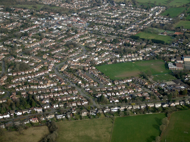
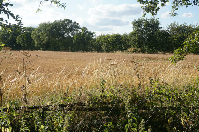
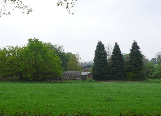
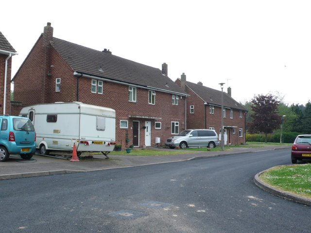
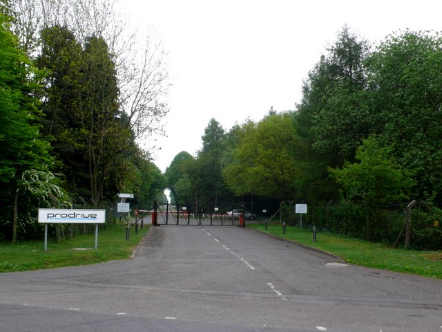
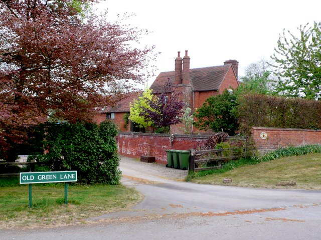
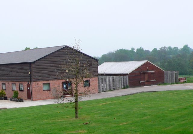
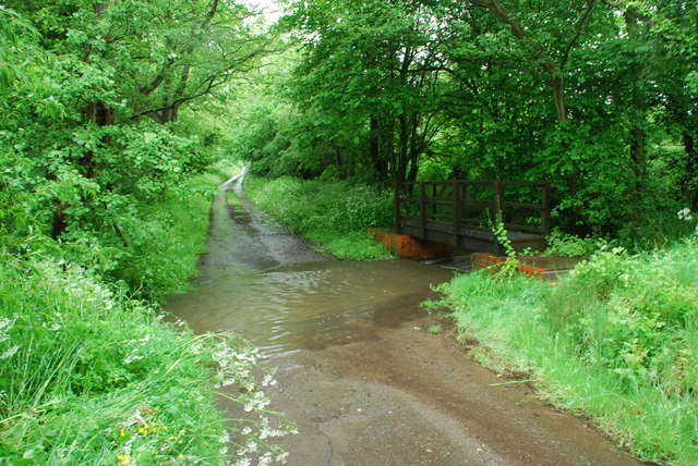
Fen End Images
Images are sourced within 2km of 52.373006/-1.671673 or Grid Reference SP2275. Thanks to Geograph Open Source API. All images are credited.


Fen End is located at Grid Ref: SP2275 (Lat: 52.373006, Lng: -1.671673)
Unitary Authority: Solihull
Police Authority: West Midlands
What 3 Words
///screamed.bucked.interview. Near Balsall Common, West Midlands
Nearby Locations
Related Wikis

Heart of England Way
The Heart of England Way is a long-distance walk of around 160 km (100 mi) through the Midlands of England. The walk starts from Milford Common on Cannock...
Balsall Preceptory
Balsall Preceptory in Warwickshire was a manor that was given to the Knights Templars in recognition of their service in the Crusades. The donor, according...
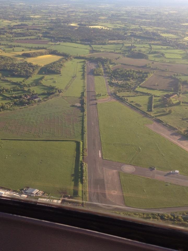
RAF Honiley
Royal Air Force Honiley or RAF Honiley is a former Royal Air Force station located in Wroxall, Warwickshire, 7 miles (11 km) southwest of Coventry, England...
Temple Balsall
Temple Balsall (grid reference SP207760) is a small hamlet within the Metropolitan Borough of Solihull in the English West Midlands, situated between the...
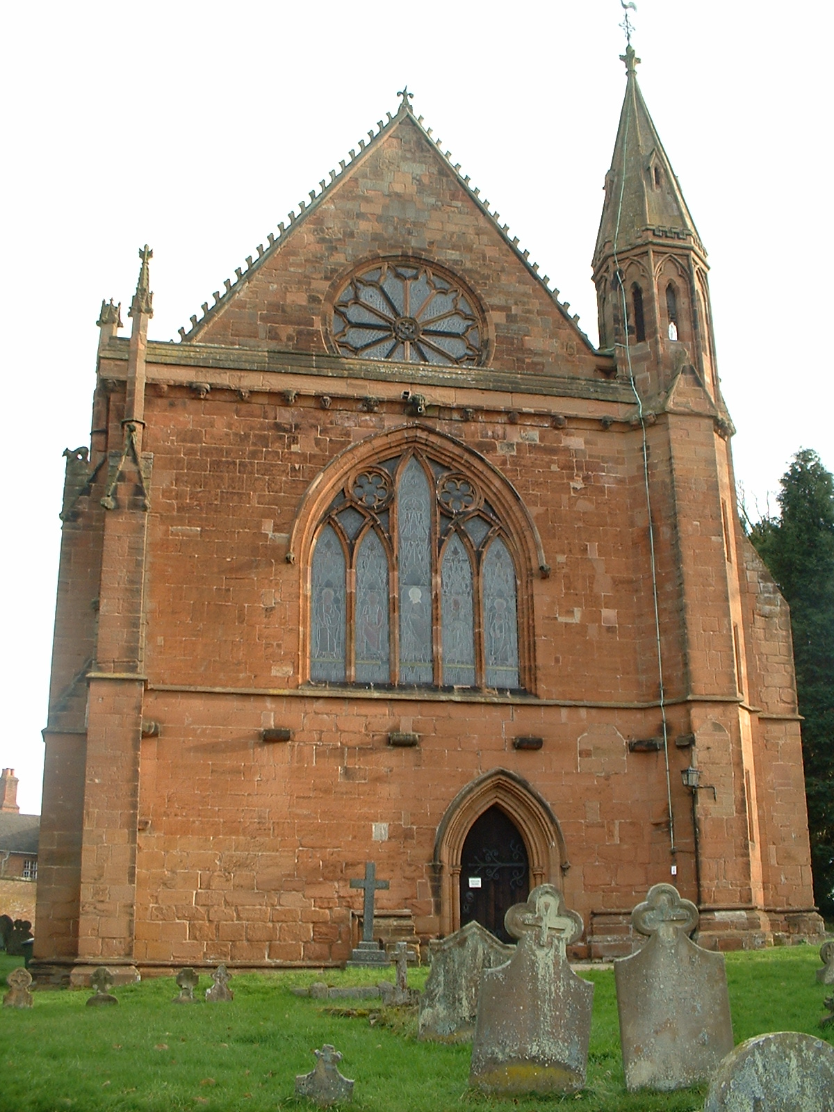
St Mary's Church, Temple Balsall
St Mary's Church, Temple Balsall is a parish church in the Church of England in Temple Balsall, Solihull, West Midlands, England. == History == The church...

Heart of England School
Heart of England School is a secondary school and sixth form with academy status located in Balsall Common in the West Midlands. The Headteacher, who started...

A452 road
The A452 is a road in England, which runs from Royal Leamington Spa, Warwickshire to Brownhills in the West Midlands. It is the major link to the M6 motorway...
Banbury Music Radio
Banbury Music Radio was a local Internet radio station in Banbury, Oxfordshire, England that showcased bands from all around Oxfordshire, Berkshire, and...
Nearby Amenities
Located within 500m of 52.373006,-1.671673Have you been to Fen End?
Leave your review of Fen End below (or comments, questions and feedback).