Rough Covert
Wood, Forest in Norfolk King's Lynn and West Norfolk
England
Rough Covert
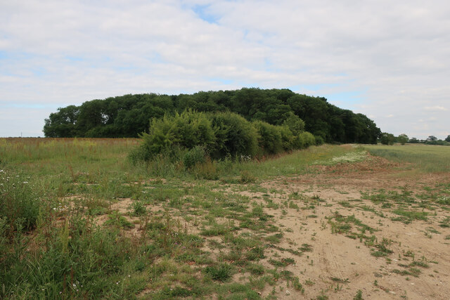
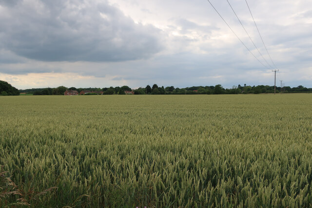
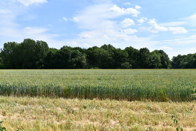
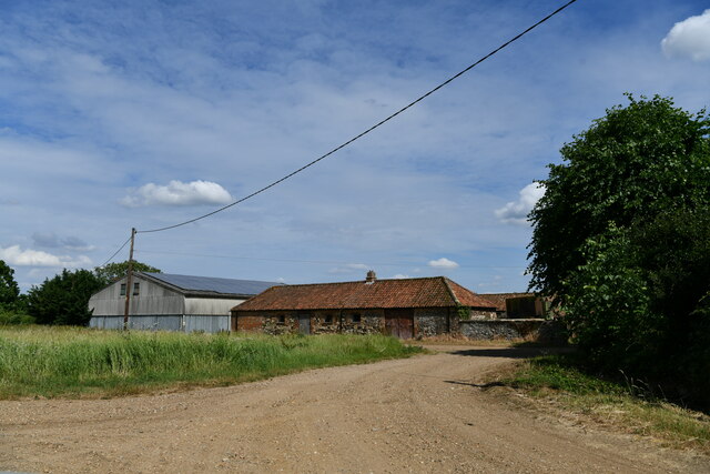
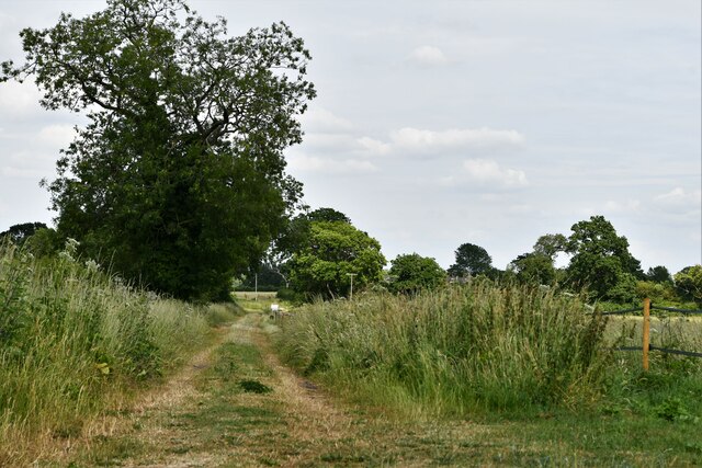
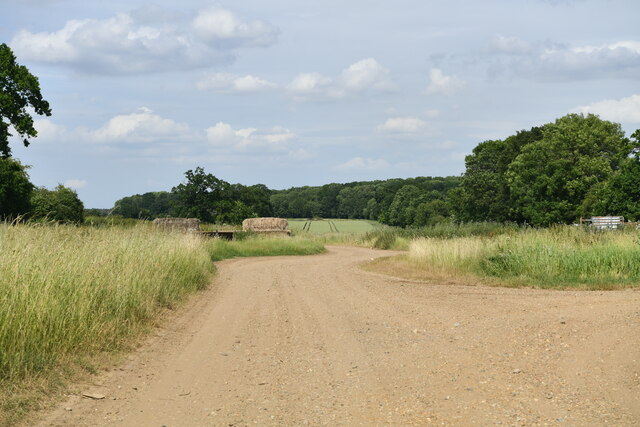
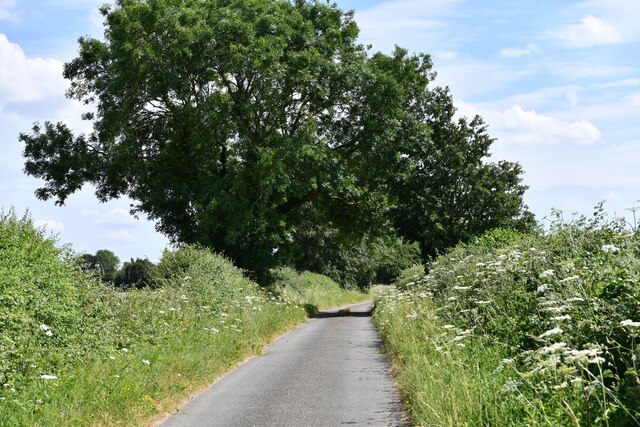
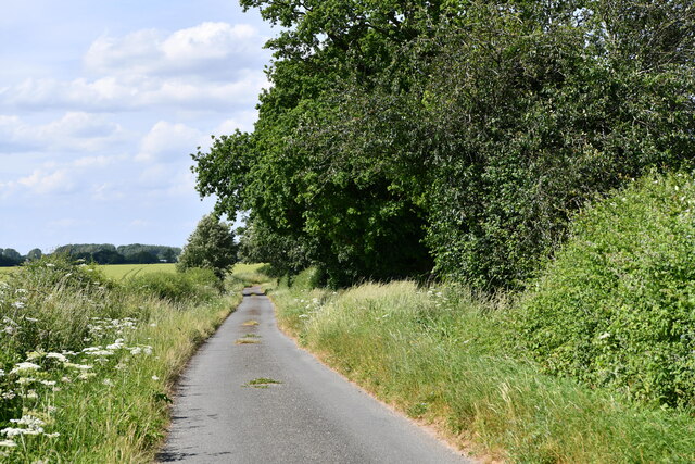
Rough Covert, located in Norfolk, England, is a picturesque woodland area known for its dense forest and natural beauty. Spanning approximately 200 acres, this tranquil oasis is a haven for nature enthusiasts and outdoor adventurers alike.
The woodland in Rough Covert is primarily composed of a variety of native tree species, including oak, beech, and birch, creating a diverse and vibrant ecosystem. The dense canopy provided by these towering trees allows only dappled sunlight to filter through, creating a magical and enchanting atmosphere within the forest.
The forest floor of Rough Covert is covered in a rich carpet of moss, ferns, and wildflowers, adding to the area's natural charm. This lush undergrowth provides a habitat for numerous species of insects, small mammals, and birds, making it a popular spot for birdwatching and wildlife observation.
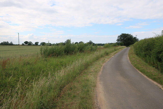
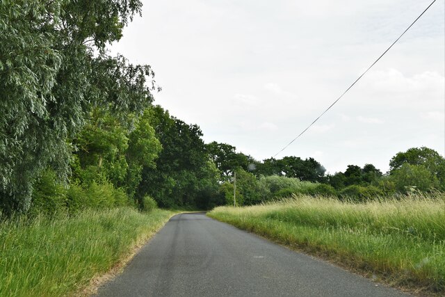
Tranquil walking trails wind their way through the woodland, inviting visitors to explore the beauty of Rough Covert at their own pace. These well-maintained paths offer glimpses of the diverse flora and fauna that call this forest home, with occasional benches strategically placed for those seeking a moment of contemplation or rest.
Rough Covert is also home to a small pond, adding to the diversity of the habitat and attracting a variety of aquatic plants and animals. This peaceful water feature provides a serene setting for visitors to relax and enjoy the sounds of nature.
With its natural beauty, diverse ecosystem, and peaceful ambiance, Rough Covert offers a tranquil escape from the hustle and bustle of everyday life, allowing visitors to connect with nature and enjoy the serenity of this stunning woodland area.
If you have any feedback on the listing, please let us know in the comments section below.
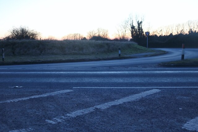
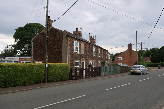
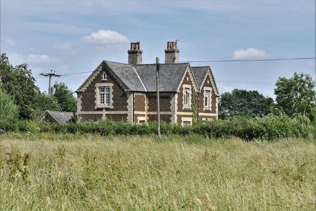
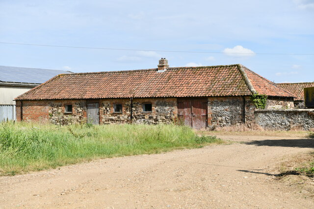
Rough Covert Images
Images are sourced within 2km of 52.612687/0.41812611 or Grid Reference TF6304. Thanks to Geograph Open Source API. All images are credited.


Rough Covert is located at Grid Ref: TF6304 (Lat: 52.612687, Lng: 0.41812611)
Administrative County: Norfolk
District: King's Lynn and West Norfolk
Police Authority: Norfolk
What 3 Words
///snake.cyber.fairness. Near Downham Market, Norfolk
Nearby Locations
Related Wikis

RAF Downham Market
Royal Air Force Downham Market, or more simply RAF Downham Market, was a Royal Air Force station in the west of the county of Norfolk, England which operated...

Crimplesham
Crimplesham is a village and civil parish in the English county of Norfolk. It is situated 2.5 miles (4.0 km) east of the small town of Downham Market...
Wimbotsham
Wimbotsham is a village and civil parish in the English county of Norfolk. It is situated close to the River Great Ouse, 2 km (1.2 mi) north of the town...

Stow Bardolph
Stow Bardolph, sometimes simply referred to as Stow, is an estate and civil parish in the English county of Norfolk, lying between King's Lynn and Downham...

Bexwell
Bexwell is a small village and former civil parish near Downham Market, now in the parish of Ryston, in the King's Lynn and West Norfolk district, in the...
Downham Market Academy
Downham Market Academy (formerly Downham Market High School) is a coeducational secondary school and sixth form with academy status, situated in Downham...
Downham Town F.C.
Downham Town Football Club is a football club based in Downham Market, Norfolk, England. Affiliated to the Norfolk County Football Association, they are...
Downham Market
Downham Market, sometimes simply referred to as Downham, is a market town and civil parish in Norfolk, England. It lies on the edge of the Fens, on the...
Nearby Amenities
Located within 500m of 52.612687,0.41812611Have you been to Rough Covert?
Leave your review of Rough Covert below (or comments, questions and feedback).