Stonyhill Wood

Wood, Forest in Essex Brentwood

England

Stonyhill Wood

View over Mill Wood View over Mill Wood from a high point within South Thorndon Country Park, Langdon Hills can be seen in the distance.
View over Mill Wood Credit: Adrian Benn

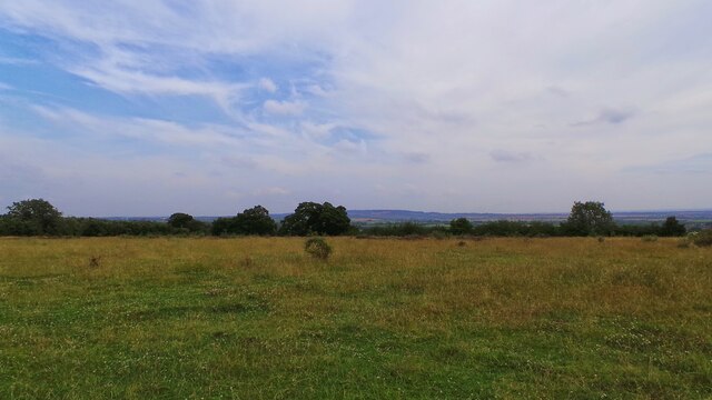
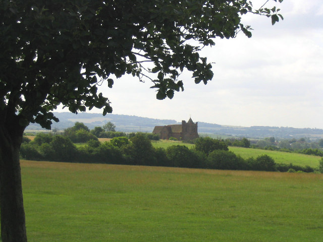
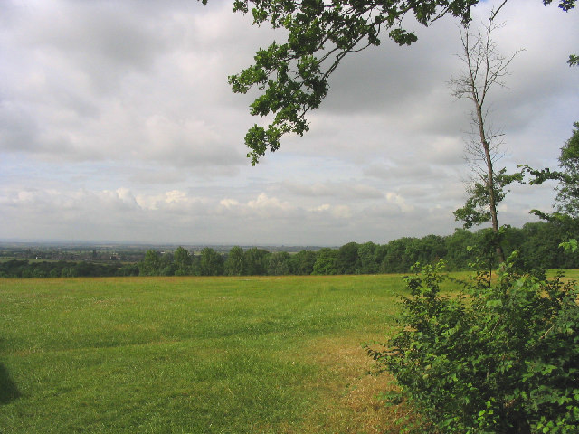
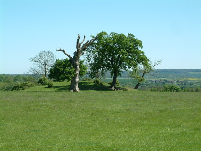
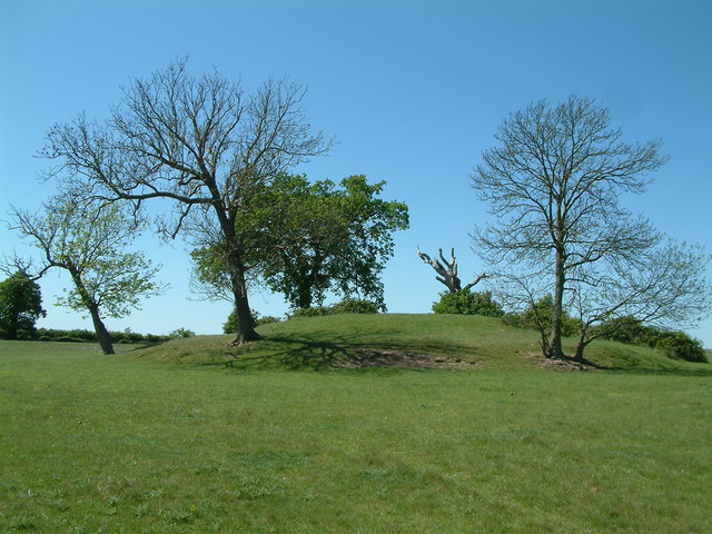
Stonyhill Wood is a picturesque woodland located in the county of Essex, England. Covering an area of approximately 100 acres, it is a popular destination for nature enthusiasts and outdoor enthusiasts alike.

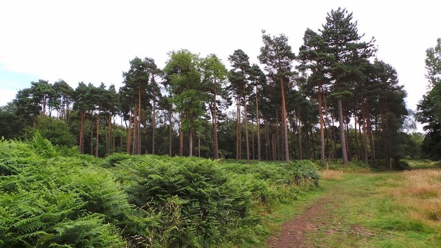
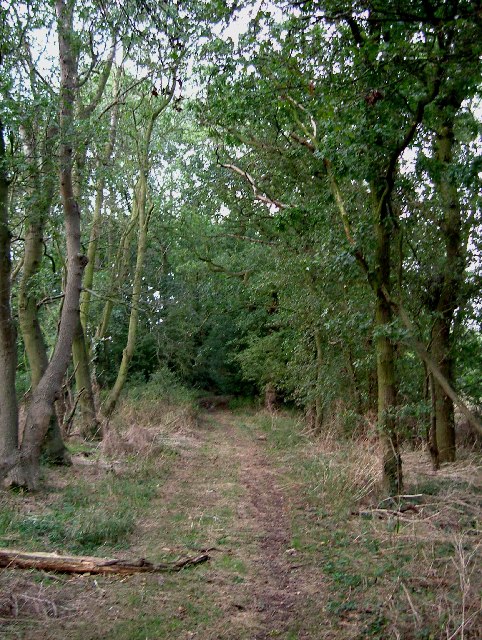
The wood is characterized by its diverse range of tree species, including oak, beech, and silver birch. These towering trees create a dense canopy, providing shade and shelter for an array of flora and fauna. The forest floor is carpeted with an assortment of wildflowers, ferns, and mosses, adding to the wood's natural beauty.

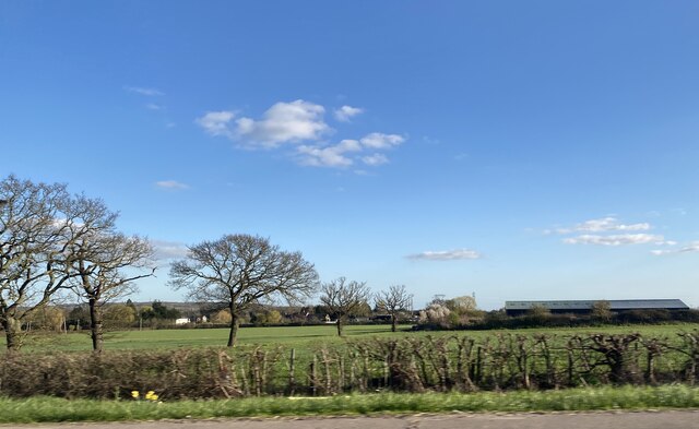
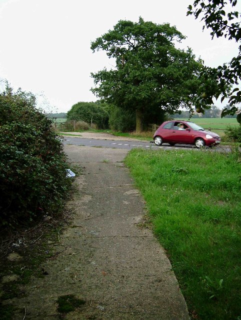
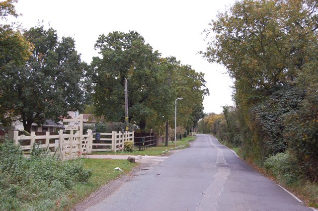
Traversing through Stonyhill Wood, visitors will find a network of well-maintained footpaths and trails, allowing them to explore the area at their own pace. The paths wind through the woodland, offering glimpses of enchanting ponds, babbling brooks, and hidden clearings. The tranquil atmosphere makes it an ideal spot for a leisurely stroll or a peaceful picnic.

Stonyhill Wood is also known for its rich biodiversity. The wood provides a habitat for various wildlife species, including deer, squirrels, badgers, and a wide variety of bird species. Birdwatchers frequent the wood to catch sight of woodpeckers, nuthatches, and various woodland songbirds.

Managed by the local authorities, Stonyhill Wood is well-preserved and offers a haven for nature lovers. It provides an opportunity to escape the hustle and bustle of everyday life, immersing oneself in the beauty of nature. Whether it is for a family outing, a wildlife spotting adventure, or simply a moment of tranquility, Stonyhill Wood is a must-visit destination in Essex.

If you have any feedback on the listing, please let us know in the comments section below.

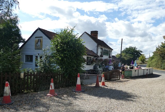
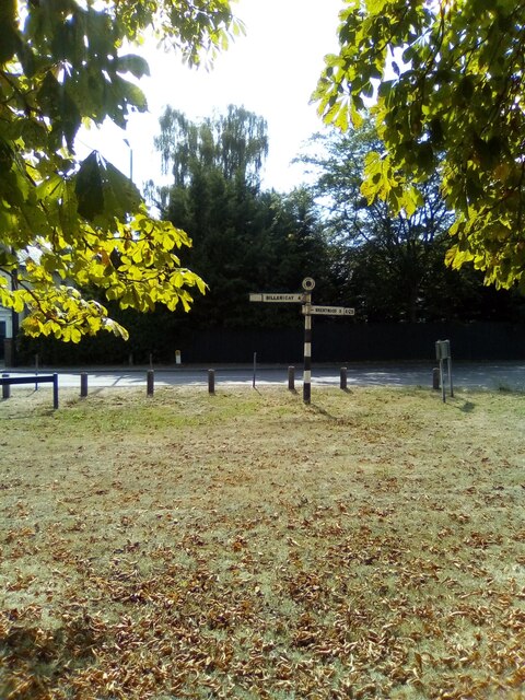
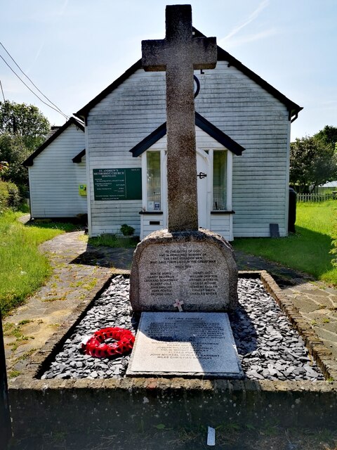
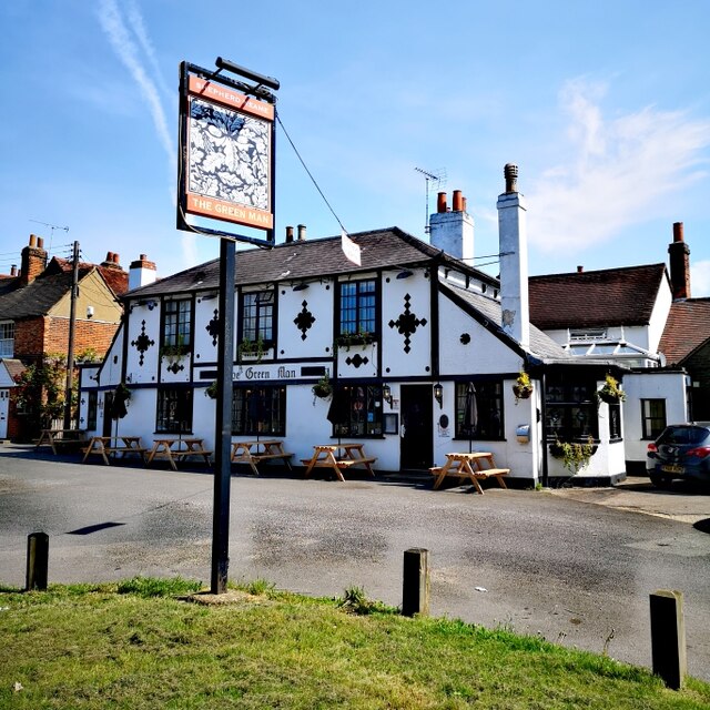
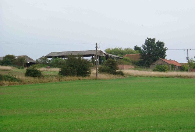
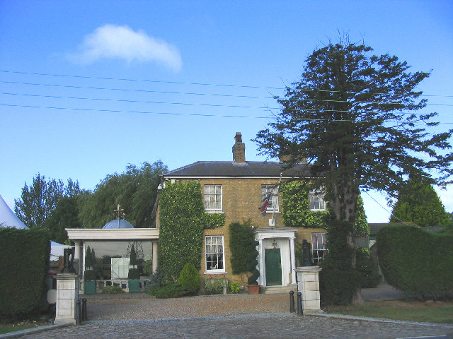
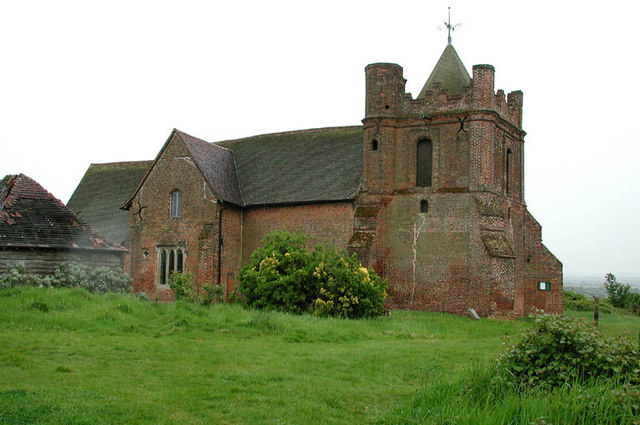
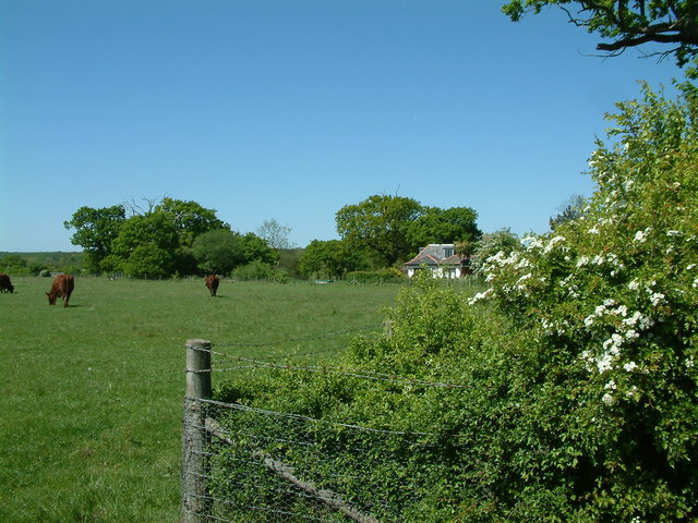
Stonyhill Wood Images

Images are sourced within 2km of 51.586666/0.36314494 or Grid Reference TQ6390. Thanks to Geograph Open Source API. All images are credited.

View over Mill Wood View over Mill Wood from a high point within South Thorndon Country Park, Langdon Hills can be seen in the distance.
View over Mill Wood
View over Mill Wood from a high point within South Thorndon Country Park, Langdon Hills can be seen in the distance.
Brookman’s Farm
Brookman’s Farm
Halfway House Halfway between Hornchurch and Basildon, perhaps?
Halfway House
Halfway between Hornchurch and Basildon, perhaps?
Pine Trees in Thorndon Park
Herongate - The Olde Dog Inn A weather-boarded C18th inn on the Billericay Road out of Herongate with a good choice of ales on offer. 
EH Grade II listed: <span class="nowrap"><a title="https://historicengland.org.uk/listing/the-list/list-entry/1205513?section=official-list-entry" rel="nofollow ugc noopener" href="https://historicengland.org.uk/listing/the-list/list-entry/1205513?section=official-list-entry">Link</a><img style="margin-left:2px;" alt="External link" title="External link - shift click to open in new window" src="https://s1.geograph.org.uk/img/external.png" width="10" height="10"/></span>
See their website here: <span class="nowrap"><a title="https://theoldedoginn.co.uk" rel="nofollow ugc noopener" href="https://theoldedoginn.co.uk">Link</a><img style="margin-left:2px;" alt="External link" title="External link - shift click to open in new window" src="https://s1.geograph.org.uk/img/external.png" width="10" height="10"/></span>
Herongate - The Olde Dog Inn
A weather-boarded C18th inn on the Billericay Road out of Herongate with a good choice of ales on offer. EH Grade II listed: LinkExternal link See their website here: LinkExternal link
Roadsign in Herongate
War Memorial, St Andrew's Methodist Church A war memorial to the men of East Horndon who fell in WWI and WWII.
War Memorial, St Andrew's Methodist Church
A war memorial to the men of East Horndon who fell in WWI and WWII.
The Green Man PH Sunday a.m.
The Green Man PH
Sunday a.m.
The Church on the Hill, East Horndon, Essex All Saints Church, East Horndon - dates back to 15th century. Despite its rural setting it is just yards from the busy A127.
The Church on the Hill, East Horndon, Essex
All Saints Church, East Horndon - dates back to 15th century. Despite its rural setting it is just yards from the busy A127.
Thorndon Country Park (South), Brentwood, Essex Looking south-west towards London
Thorndon Country Park (South), Brentwood, Essex
Looking south-west towards London
Byway and A128 This is a Byway open to all traffic from Tilbury Road to Green Meadows Nurseries on the A127 the photo was taken at the point where it crosses the A128
Byway and A128
This is a Byway open to all traffic from Tilbury Road to Green Meadows Nurseries on the A127 the photo was taken at the point where it crosses the A128
A128 to A127 Byway This is a picture of the Byway between Tilbury Road near the  A128 and the A127 at Green Meadows Nurseries. The picture was taken a few yards past the point where the ruts caused by numerous 4x4’s peter out.
A128 to A127 Byway
This is a picture of the Byway between Tilbury Road near the A128 and the A127 at Green Meadows Nurseries. The picture was taken a few yards past the point where the ruts caused by numerous 4x4’s peter out.
Dunton Hills Farm Dunton Hills Farm looking across a field sown with winter wheat
Dunton Hills Farm
Dunton Hills Farm looking across a field sown with winter wheat
Friern Manor Hotel, Dunton, Essex An old manor house - converted to a country hotel. On the west side of Lower Dunton Road.
Friern Manor Hotel, Dunton, Essex
An old manor house - converted to a country hotel. On the west side of Lower Dunton Road.
All Saints, East Horndon, Essex
Thorndon Country Park South, Brentwood
Thorndon Country Park South, Brentwood The trees surround a mound which is about 3 metres high. It is not marked as a feature on the OS map, but it looks as if it is man made. Langdon Hills can be seen in the distance.
Thorndon Country Park South, Brentwood
The trees surround a mound which is about 3 metres high. It is not marked as a feature on the OS map, but it looks as if it is man made. Langdon Hills can be seen in the distance.
Thorndon Country Park South, Brentwood This group of trees surround a mound which is approximately 3 - 4 metres high. It is not marked as a feature on the OS map, and looks as if it is man made.
Thorndon Country Park South, Brentwood
This group of trees surround a mound which is approximately 3 - 4 metres high. It is not marked as a feature on the OS map, and looks as if it is man made.
Show me another place!

Stonyhill Wood is located at Grid Ref: TQ6390 (Lat: 51.586666, Lng: 0.36314494)

Administrative County: Essex

District: Brentwood

Police Authority: Essex

What 3 Words

///split.jars.share. Near Ingrave, Essex

Related Wikis

All Saints Church, East Horndon

All Saints' Church is a redundant Anglican church in the village of East Horndon, Essex, England. It is recorded in the National Heritage List for England...

Herongate

Herongate is a village in south Essex, England. The village is situated on the A128 road between Brentwood and West Horndon. The population of the village...

East Horndon

East Horndon is a village and former civil parish, now in the parish of West Horndon, in the south of the borough of Brentwood in Essex in the East of...

Dunton Wayletts

Dunton Wayletts or Dunton is hamlet and former civil parish in the Borough of Basildon in Essex, England. It lies on the western outskirts of the borough...

Herongate and Ingrave

Herongate and Ingrave is a civil parish in the Brentwood borough in Essex, England. The parish includes the villages of Ingrave and Herongate. The parish...

Ingrave

Ingrave is a village and former civil parish, now in the parish of Herongate and Ingrave, in the Brentwood district in Essex, England. It is situated on...

West Horndon

West Horndon is a village and civil parish in the south of the Borough of Brentwood in Essex, England. It is located 20 miles (32 km) east-northeast of...

Thorndon Hall

Thorndon Hall is a Georgian Palladian country house within Thorndon Park, Ingrave, Essex, England, approximately two miles south of Brentwood and 25 miles...

Nearby Amenities

Located within 500m of 51.586666,0.36314494
Created By: YahooApplet 1.0
Lat/Long: 51.5869195/0.364041
Created By: YahooApplet 1.0
Lat/Long: 51.5865995/0.3640625
Created By: YahooApplet 1.0
Lat/Long: 51.5864929/0.3638265
Created By: YahooApplet 1.0
Lat/Long: 51.5864395/0.3621098
Created By: YahooApplet 1.0
Lat/Long: 51.5869995/0.362775
Created By: YahooApplet 1.0
Lat/Long: 51.5869328/0.3621742
Created By: YahooApplet 1.0
Lat/Long: 51.5892859/0.3643522
Created By: YahooApplet 1.0
Lat/Long: 51.5892393/0.3641269
Created By: YahooApplet 1.0
Lat/Long: 51.5891193/0.3641054
Created By: YahooApplet 1.0
Lat/Long: 51.5890593/0.3637728
Created By: YahooApplet 1.0
Lat/Long: 51.5889393/0.363687
Created By: YahooApplet 1.0
Lat/Long: 51.5888193/0.3642771
Created By: YahooApplet 1.0
Lat/Long: 51.5886727/0.3643951
Created By: YahooApplet 1.0
Lat/Long: 51.5886527/0.3647169
Created By: YahooApplet 1.0
Lat/Long: 51.5888193/0.3648779
Created By: YahooApplet 1.0
Lat/Long: 51.5889793/0.3649101
Created By: YahooApplet 1.0
Lat/Long: 51.5892459/0.3646418
Created By: YahooApplet 1.0
Lat/Long: 51.5890526/0.3640839
Created By: YahooApplet 1.0
Lat/Long: 51.5891726/0.3645185
Created By: YahooApplet 1.0
Lat/Long: 51.5891559/0.3642556
Created By: YahooApplet 1.0
Lat/Long: 51.5889093/0.3641054
Created By: YahooApplet 1.0
Lat/Long: 51.5889993/0.3639445
Created By: YahooApplet 1.0
Lat/Long: 51.5902724/0.364159
Created By: YahooApplet 1.0
Lat/Long: 51.5900391/0.3641805
Created By: YahooApplet 1.0
Lat/Long: 51.5898192/0.3643736
Created By: YahooApplet 1.0
Lat/Long: 51.5896992/0.3644165
Created By: YahooApplet 1.0
Lat/Long: 51.5896125/0.3647062
Created By: YahooApplet 1.0
Lat/Long: 51.5897325/0.364835
Created By: YahooApplet 1.0
Lat/Long: 51.5898725/0.364835
Created By: YahooApplet 1.0
Lat/Long: 51.5900125/0.3649208
Created By: YahooApplet 1.0
Lat/Long: 51.5901258/0.3649101
Created By: YahooApplet 1.0
Lat/Long: 51.5903058/0.364556
Created By: YahooApplet 1.0
Lat/Long: 51.5903191/0.3643522
Created By: YahooApplet 1.0
Lat/Long: 51.5904524/0.3637835
Created By: YahooApplet 1.0
Lat/Long: 51.5895325/0.3644487
Created By: YahooApplet 1.0
Lat/Long: 51.5893126/0.3638479
Created By: YahooApplet 1.0
Lat/Long: 51.5893592/0.3635582
Created By: YahooApplet 1.0
Lat/Long: 51.5892726/0.3630754
Created By: YahooApplet 1.0
Lat/Long: 51.5890726/0.3628716
Created By: YahooApplet 1.0
Lat/Long: 51.588846/0.3624961
Created By: YahooApplet 1.0
Lat/Long: 51.5887726/0.3620133
Created By: YahooApplet 1.0
Lat/Long: 51.5890293/0.3646526
Created By: YahooApplet 1.0
Lat/Long: 51.5888226/0.3645614
Created By: YahooApplet 1.0
Lat/Long: 51.5889726/0.364261
Created By: YahooApplet 1.0
Lat/Long: 51.5903758/0.3624263
Created By: YahooApplet 1.0
Lat/Long: 51.5902091/0.3621903
Created By: YahooApplet 1.0
Lat/Long: 51.5901958/0.3607634
Created By: YahooApplet 1.0
Lat/Long: 51.5900358/0.3595617
Created By: YahooApplet 1.0
Lat/Long: 51.5899092/0.3594974
Created By: YahooApplet 1.0
Lat/Long: 51.5897825/0.3602055
Created By: YahooApplet 1.0
Lat/Long: 51.5898158/0.3614071
Created By: YahooApplet 1.0
Lat/Long: 51.5897625/0.3621796
Bus Stop
Thorndon Country Park
Naptan AtcoCode: 150006012011
Naptan Bearing: N
Naptan CommonName: Thorndon Country Park
Naptan Indicator: o/s
Naptan Landmark: Thorndon Country Park
Naptan NaptanCode: esxawdpd
Naptan Street: Brentwood Road
Naptan Verified: no
Public Transport: platform
Source: naptan_import
Lat/Long: 51.585308/0.3572461
Bus Stop
Thorndon Country Park
Naptan AtcoCode: 1500060120Y1
Naptan Bearing: S
Naptan BusStopType: CUS
Naptan CommonName: Thorndon Country Park
Naptan Indicator: Opp
Naptan Landmark: Thorndon Country Park
Naptan NaptanCode: esxgpmaw
Naptan Street: Brentwood Road
Naptan Verified: no
Public Transport: platform
Source: naptan_import
Lat/Long: 51.585324/0.357348
The data included in this document is from www.openstreetmap.org. The data is made available under ODbL.

Have you been to Stonyhill Wood?

Leave your review of Stonyhill Wood below (or comments, questions and feedback).