Button Common
Downs, Moorland in Essex Brentwood
England
Button Common
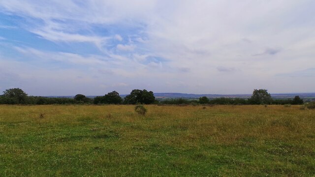
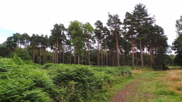
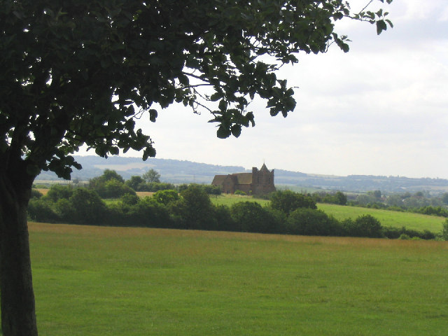
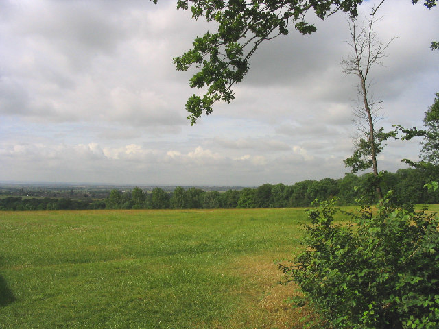
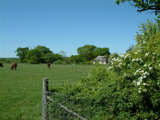
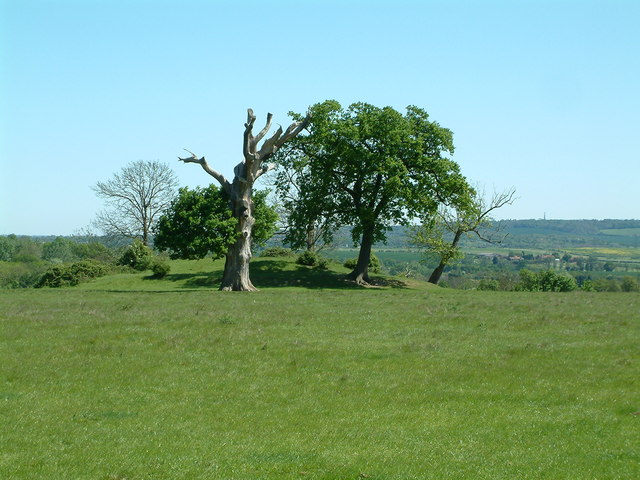
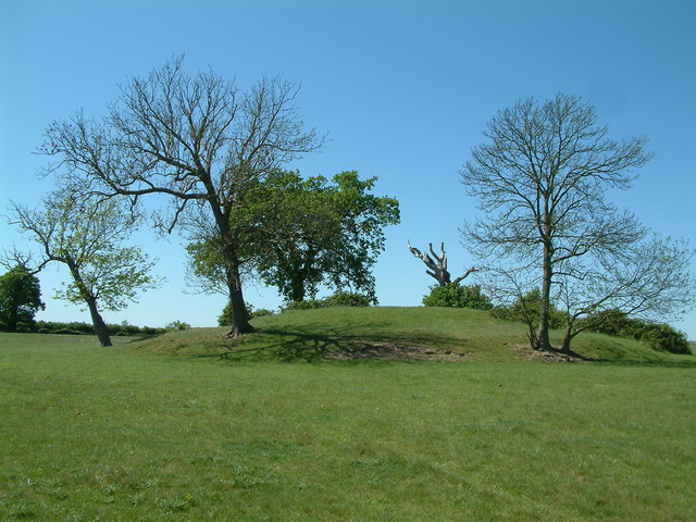
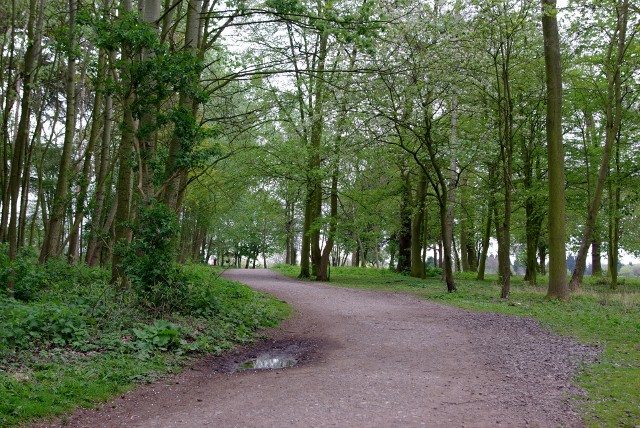
Button Common is a picturesque area located in the county of Essex, England. It is characterized by its beautiful downs and moorland landscapes, making it a popular destination for nature enthusiasts and hikers alike. The common covers an area of approximately 100 acres and is surrounded by rolling hills and stunning countryside views.
One of the main attractions of Button Common is its diverse wildlife. The area is home to various species of birds, including skylarks, woodpeckers, and buzzards, making it a haven for birdwatchers. Additionally, the common supports a range of plant life, featuring heather, gorse, and grasses, which add to its natural beauty.
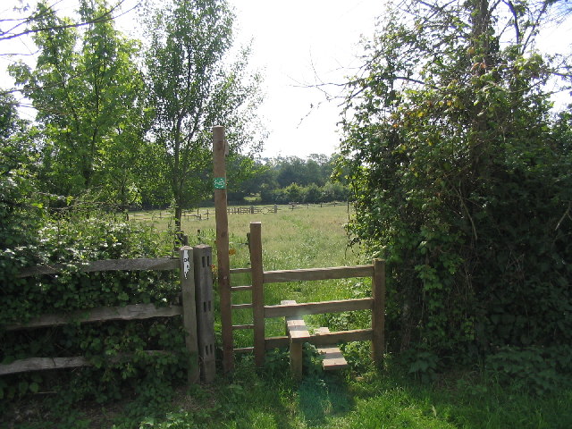
The common provides ample opportunities for outdoor activities, such as walking, horse riding, and picnicking. Several well-maintained footpaths and bridleways crisscross the area, allowing visitors to explore the stunning surroundings and enjoy the fresh air. The undulating terrain also offers great spots for hillwalking and admiring the panoramic views of the surrounding countryside.
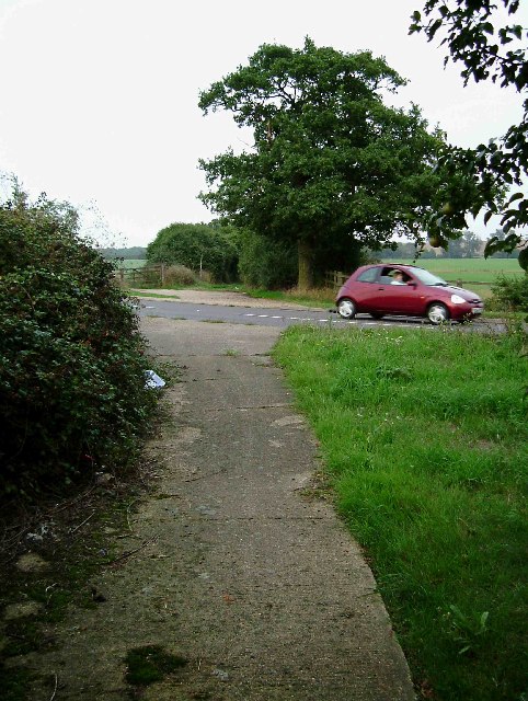
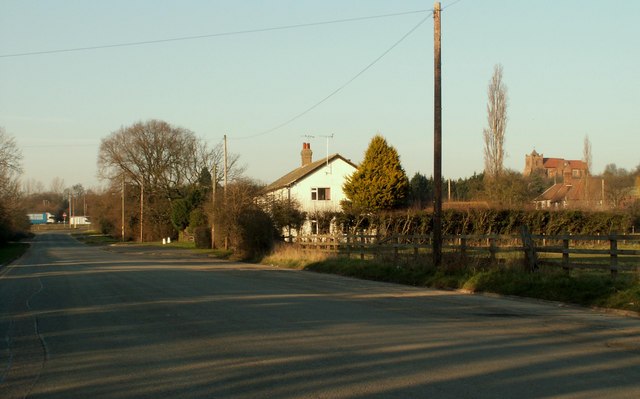
Button Common is easily accessible and conveniently located near the village of Button End. It is well-served by public transport, with regular bus services connecting it to nearby towns and cities. There is ample parking available for those who prefer to drive.
Overall, Button Common is a peaceful and idyllic destination for those seeking a tranquil escape in the heart of nature. With its stunning downs, moorland landscapes, and diverse wildlife, it offers a perfect retreat for outdoor enthusiasts and nature lovers.
If you have any feedback on the listing, please let us know in the comments section below.
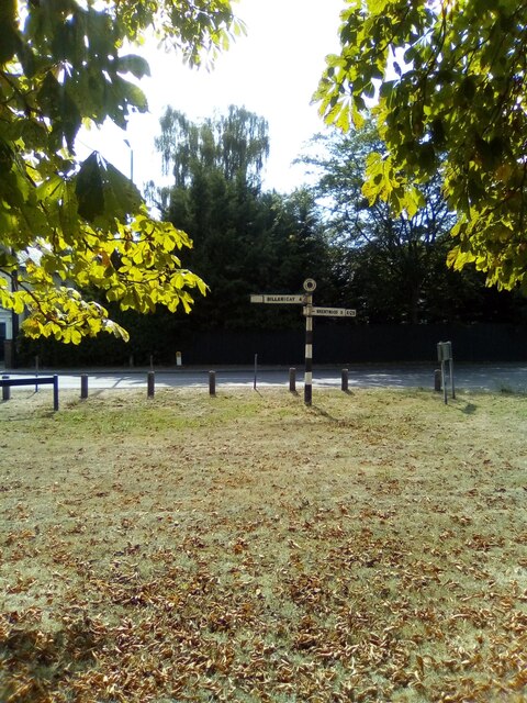
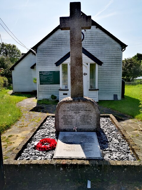
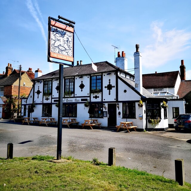
Button Common Images
Images are sourced within 2km of 51.592735/0.35424839 or Grid Reference TQ6390. Thanks to Geograph Open Source API. All images are credited.
Button Common is located at Grid Ref: TQ6390 (Lat: 51.592735, Lng: 0.35424839)
Administrative County: Essex
District: Brentwood
Police Authority: Essex
What 3 Words
///damage.neck.torch. Near Ingrave, Essex
Nearby Locations
Related Wikis

Herongate
Herongate is a village in south Essex, England. The village is situated on the A128 road between Brentwood and West Horndon. The population of the village...

Herongate and Ingrave
Herongate and Ingrave is a civil parish in the Brentwood borough in Essex, England. The parish includes the villages of Ingrave and Herongate. The parish...

Ingrave
Ingrave is a village and former civil parish, now in the parish of Herongate and Ingrave, in the Brentwood district in Essex, England. It is situated on...

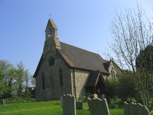
All Saints Church, East Horndon
All Saints' Church is a redundant Anglican church in the village of East Horndon, Essex, England. It is recorded in the National Heritage List for England...

Thorndon Hall
Thorndon Hall is a Georgian Palladian country house within Thorndon Park, Ingrave, Essex, England, approximately two miles south of Brentwood and 25 miles...

Thorndon Park Chapel
Thorndon Park Chapel (The Petre Chapel) is a former Roman Catholic private chapel situated in Thorndon Park, near the grounds of Thorndon Hall near Ingrave...
East Horndon
East Horndon is a village and former civil parish, now in the parish of West Horndon, in the south of the borough of Brentwood in Essex in the East of...
Childerditch
Childerditch is a settlement in the Brentwood district, in the county of Essex, England. It forms part of the Warley borough council ward. == History... ==
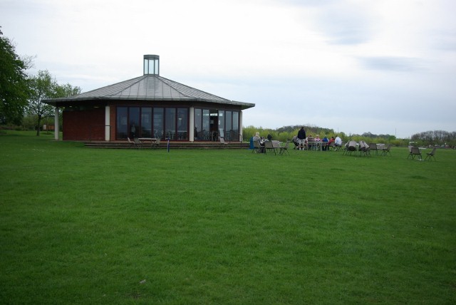
Nearby Amenities
Located within 500m of 51.592735,0.35424839Have you been to Button Common?
Leave your review of Button Common below (or comments, questions and feedback).