Decoy Plantation
Wood, Forest in Norfolk King's Lynn and West Norfolk
England
Decoy Plantation

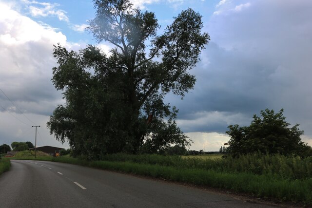
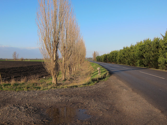
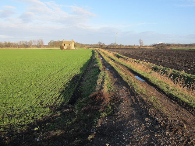
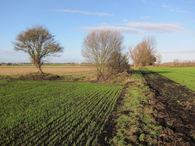
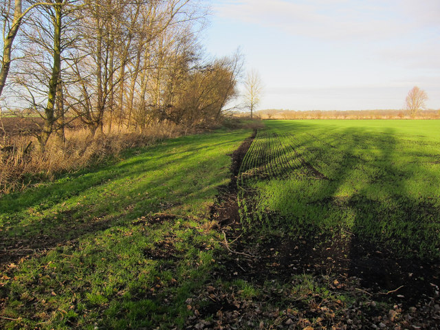
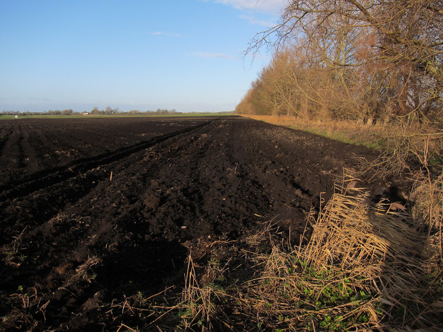
Decoy Plantation is a beautiful woodland located in Norfolk, England. Covering an area of approximately 500 acres, it is a thriving natural habitat for various flora and fauna species. The woodland is characterized by its dense, mature trees, predominantly consisting of oak, beech, and pine.
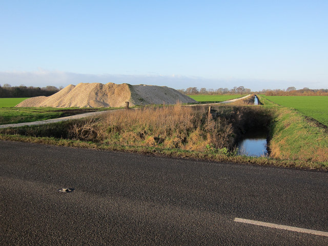
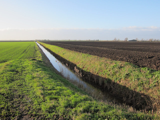
One of the notable features of Decoy Plantation is its history as a former decoy site. Decoy ponds were created in the 19th century to lure and capture wild ducks for food. Today, remnants of these ponds can still be found, adding an intriguing aspect to the woodland's heritage.
The plantation offers an ideal environment for a wide range of wildlife, including birds, mammals, and insects. Bird enthusiasts can spot species such as woodpeckers, finches, and warblers among the treetops, while mammals like deer, foxes, and rabbits can be seen roaming through the undergrowth. The woodland also provides a home for various species of butterflies, bees, and other insects, adding to its biodiversity.
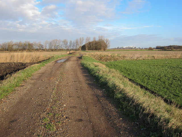
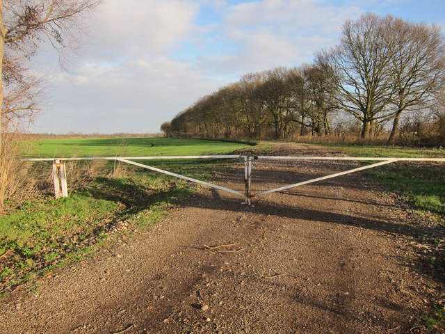
Decoy Plantation is a popular destination for outdoor activities and nature lovers. The well-maintained walking trails provide visitors with the opportunity to explore and appreciate the beauty of the woodland. It offers a peaceful and serene atmosphere, making it an ideal escape from the hustle and bustle of city life.
Managed by a local conservation organization, Decoy Plantation is dedicated to preserving and protecting its natural resources. With its rich biodiversity and historical significance, Decoy Plantation is a true gem in the Norfolk countryside, attracting nature enthusiasts and providing a valuable habitat for wildlife.
If you have any feedback on the listing, please let us know in the comments section below.
Decoy Plantation Images
Images are sourced within 2km of 52.536267/0.41404164 or Grid Reference TL6395. Thanks to Geograph Open Source API. All images are credited.


Decoy Plantation is located at Grid Ref: TL6395 (Lat: 52.536267, Lng: 0.41404164)
Administrative County: Norfolk
District: King's Lynn and West Norfolk
Police Authority: Norfolk
What 3 Words
///barbarian.suits.polygraph. Near Southery, Norfolk
Nearby Locations
Related Wikis

Southery
Southery is a village and civil parish in Norfolk, England, which covers an area of 18.12 km2 (7.00 sq mi) and had a population of 1,324 at the 2011 Census...

Wissington, Norfolk
Wissington in Norfolk is the site of British Sugar's largest sugar factory in the UK; it is also the largest in Europe. There has been a sugar factory...

Hilgay
Hilgay is a village and civil parish in Norfolk, England, 4 miles (6.4 km) from Downham Market. It covers an area of 33.38 km2 (12.89 sq mi) and had a...
Modeney Priory
Modeney Priory—also spelled Modney and Modeny—was a Benedictine priory in the civil parish of Hilgay, Norfolk, England. Located less than a mile east of...

Hilgay Heronry
Hilgay Heronry is a 1.8-hectare (4.4-acre) biological Site of Special Scientific Interest south of Downham Market in Norfolk.This small wood has a nationally...

1974 Norfolk mid-air collision
The 1974 Norfolk mid-air collision happened on 9 August 1974 at Fordham Fen, Norfolk, England when a Royal Air Force McDonnell-Douglas F-4M Phantom FGR...

Abbey and West Dereham railway station
Abbey and West Dereham railway station was a railway station on the line between Downham Market and Stoke Ferry. It served the village of West Dereham...

St Mary's Church, Fordham
St Mary's Church is located to the south of the village of Fordham, Norfolk, England. It is a redundant Anglican parish church in the care of the Friends...
Nearby Amenities
Located within 500m of 52.536267,0.41404164Have you been to Decoy Plantation?
Leave your review of Decoy Plantation below (or comments, questions and feedback).