Batt's Wood
Wood, Forest in Sussex Wealden
England
Batt's Wood
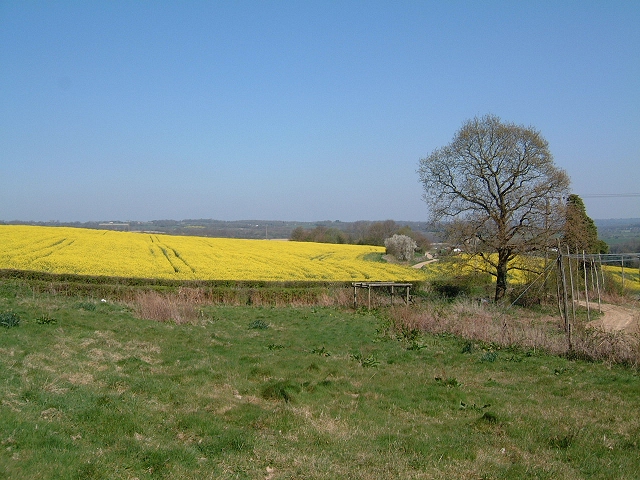
Batt's Wood is a charming woodland located in the county of Sussex, England. Situated in the heart of the South Downs National Park, this forested area spans approximately 100 hectares and offers a tranquil retreat for nature enthusiasts and outdoor adventurers alike.
The woodland is predominantly composed of native broadleaf trees, including oak, ash, beech, and hornbeam. These majestic trees create a dense canopy, providing shade and shelter for various flora and fauna species. Bluebells carpet the forest floor in spring, creating a breathtaking display of vibrant blue hues.
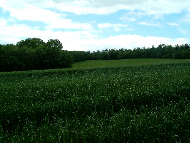
Batt's Wood boasts a network of well-maintained footpaths, allowing visitors to explore its diverse range of habitats. From ancient woodland to open meadows, the woodland offers a rich tapestry of landscapes to discover. Wildlife is abundant in the area, with sightings of deer, badgers, foxes, and a variety of bird species being common.
For those seeking a peaceful escape, Batt's Wood is an ideal destination. The serene atmosphere and picturesque surroundings make it a popular spot for picnics, photography, and nature walks. The woodland also offers opportunities for recreational activities such as hiking, mountain biking, and horse riding.
Managed by the local council, Batt's Wood is well-preserved and accessible to the public. Visitors can enjoy the woodland's natural beauty while respecting the guidelines in place to protect the fragile ecosystem. With its tranquil ambiance, diverse habitats, and abundant wildlife, Batt's Wood is a true gem within Sussex's natural landscape.
If you have any feedback on the listing, please let us know in the comments section below.
Batt's Wood Images
Images are sourced within 2km of 51.024192/0.33258133 or Grid Reference TQ6327. Thanks to Geograph Open Source API. All images are credited.


Batt's Wood is located at Grid Ref: TQ6327 (Lat: 51.024192, Lng: 0.33258133)
Administrative County: East Sussex
District: Wealden
Police Authority: Sussex
What 3 Words
///according.fizzle.actor. Near Wadhurst, East Sussex
Nearby Locations
Related Wikis

Wadhurst Park
Wadhurst Park is a landed estate located in Wadhurst, East Sussex. It is owned by the Rausing family. The estate is 796 hectares and includes a deer park...

Holmshurst Manor
Holmshurst Manor is a Jacobean country house near Burwash in East Sussex, England. In 1970 it was purchased by Roger Daltrey of The Who. == Description... ==

Stonegate railway station
Stonegate railway station (not to be confused with Stone Crossing) is on the Hastings line in the south of England. It is located between Witherenden Hill...
Tidebrook
Tidebrook is a hamlet within the parish of Wadhurst in East Sussex, England. It is located between the villages of Mayfield and Wadhurst. The brook for...
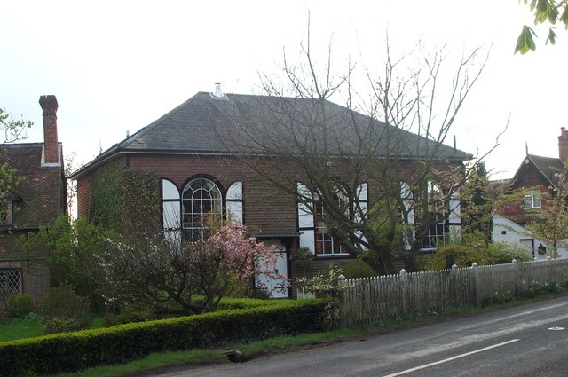
Shover's Green Baptist Chapel
Shover's Green Baptist Chapel is a former Strict Baptist place of worship in the hamlet of Shover's Green in East Sussex, England. Shover's Green is in...
Uplands Academy
Uplands Academy (formerly Uplands Community College) is a coeducational secondary school and sixth form located in Wadhurst, East Sussex, England. ��2...

Paines Cross Meadow
Paines Cross Meadow is a 3.7-hectare (9.1-acre) biological Site of Special Scientific Interest north-east of Heathfield in East Sussex.This site is damp...
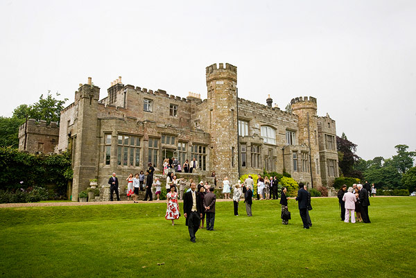
Wadhurst Castle
Wadhurst Castle is a 19th-century castellated mansion just to the west of the town of Wadhurst, East Sussex, England, in an elevated position overlooking...
Nearby Amenities
Located within 500m of 51.024192,0.33258133Have you been to Batt's Wood?
Leave your review of Batt's Wood below (or comments, questions and feedback).