Stoneymore Wood
Wood, Forest in Essex Brentwood
England
Stoneymore Wood

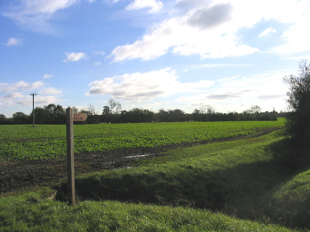
Stoneymore Wood is a picturesque forest located in the county of Essex, England. Situated near the village of Stoneymore, this woodland spans an area of approximately 100 hectares. The forest is characterized by its dense, mature trees and diverse wildlife, making it a popular destination for nature enthusiasts and hikers.
The wood is predominantly composed of broadleaf trees, including oak, beech, and birch. These trees create a rich and vibrant canopy, providing shelter and habitat for a wide range of flora and fauna. Bluebells, wild garlic, and wood sorrel can be found carpeting the forest floor during the spring months, adding to the area's natural beauty.
Stoneymore Wood is home to a variety of wildlife species. Visitors may spot red deer, foxes, badgers, and rabbits, as well as a wide array of bird species, including woodpeckers, owls, and various songbirds. The forest also hosts a number of insects and butterflies, adding to its ecological significance.
The wood offers several walking trails and paths, allowing visitors to explore its natural wonders. These trails vary in length and difficulty, catering to both casual walkers and those seeking a more challenging hike. Interpretive panels and information boards are strategically placed throughout the forest, providing visitors with insights into the area's history, ecology, and wildlife.
Stoneymore Wood is managed by the local forestry commission, ensuring its conservation and preservation for future generations to enjoy. Its tranquil atmosphere, stunning scenery, and abundance of wildlife make it a true gem of Essex's natural landscape.
If you have any feedback on the listing, please let us know in the comments section below.
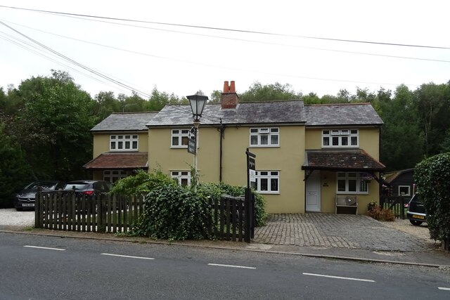
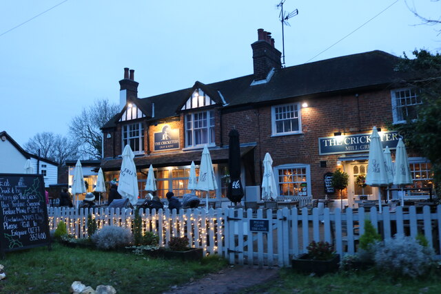
Stoneymore Wood Images
Images are sourced within 2km of 51.691123/0.36700565 or Grid Reference TL6301. Thanks to Geograph Open Source API. All images are credited.


Stoneymore Wood is located at Grid Ref: TL6301 (Lat: 51.691123, Lng: 0.36700565)
Administrative County: Essex
District: Brentwood
Police Authority: Essex
What 3 Words
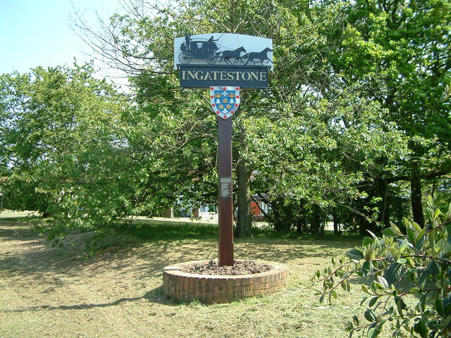
///shunts.juror.cake. Near Ingatestone, Essex
Nearby Locations
Related Wikis
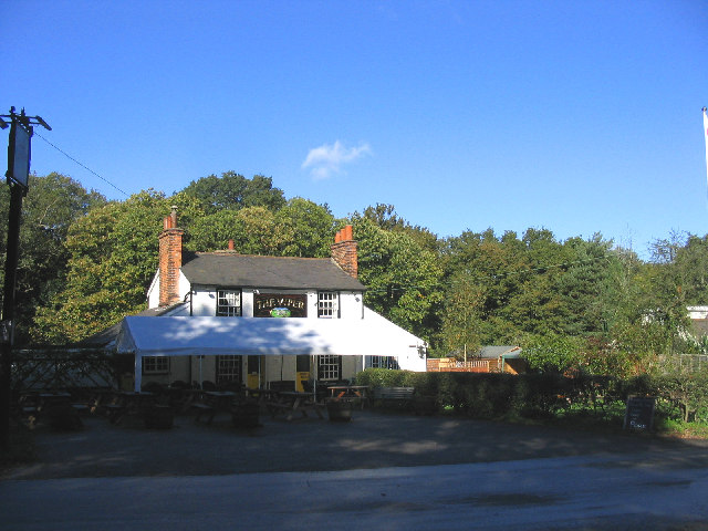
The Viper, Mill Green
The Viper is a public house at The Common, Mill Green, Essex, CM4 0PT. It is on the Campaign for Real Ale's National Inventory of Historic Pub Interiors...

Mill Green, Essex
Mill Green is a hamlet in civil parish of Ingatestone and Fryerning, in the Brentwood district, in the English county of Essex. It is near the town of...
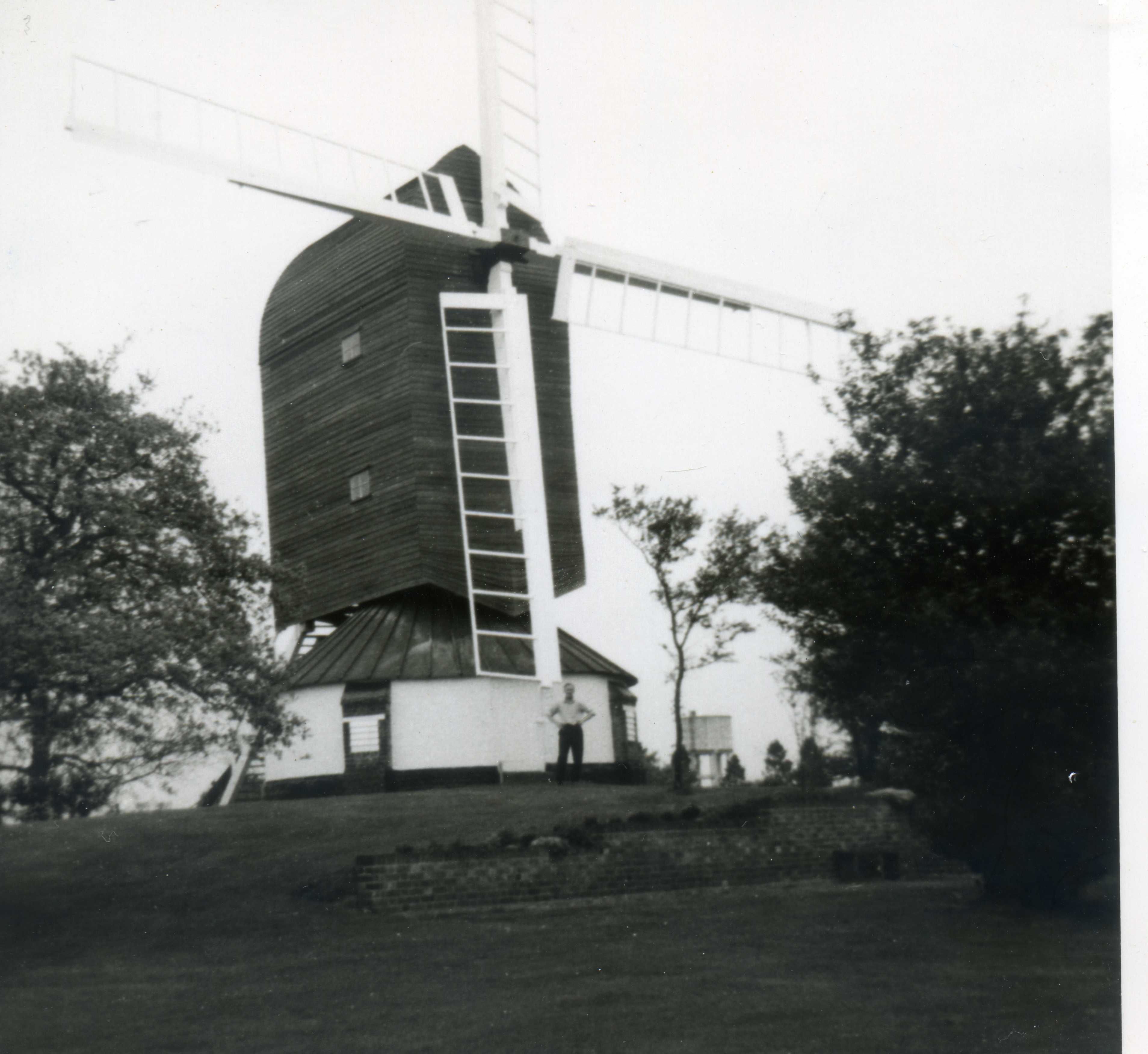
Fryerning Mill
Fryerning Mill (or Mill Green Mill) is a grade II* listed post mill at Mill Green, Fryerning, Essex, which has been restored. == History == Mill Green...
Ingatestone and Fryerning
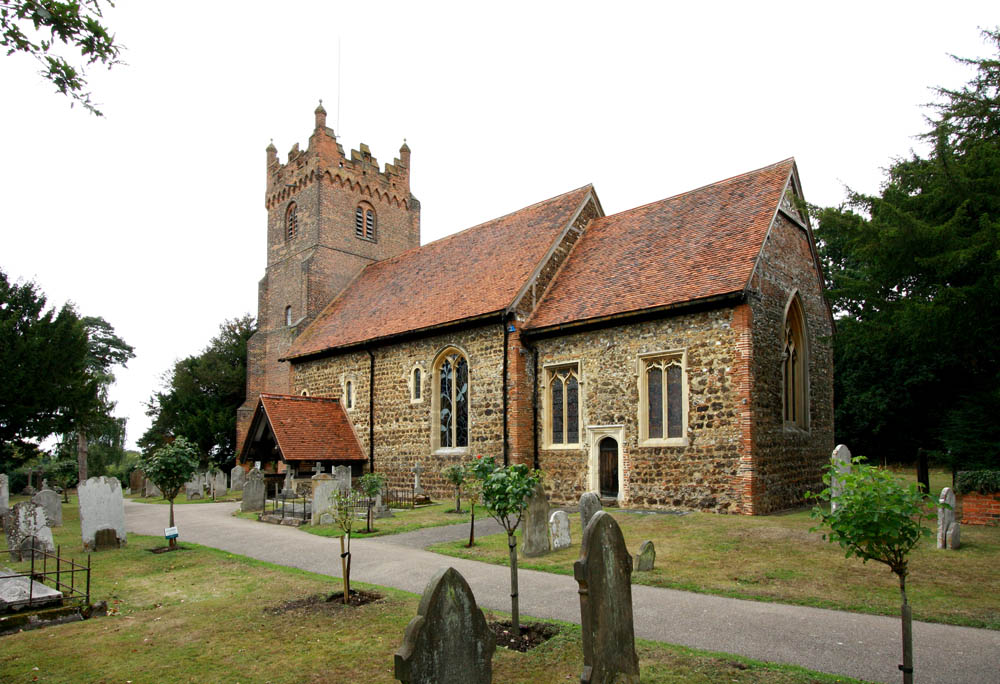
Ingatestone and Fryerning is a civil parish in the Brentwood borough of Essex, England. The parish includes the villages of Ingatestone and Fryerning,...
Fryerning
Fryerning is a small village and former civil parish, now in the parish of Ingatestone and Fryerning, in the Brentwood district, in the county of Essex...
Highwood, Essex
Highwood is a village and civil parish in the Chelmsford district of Essex, England. The village is approximately a mile south from the A414 road and four...
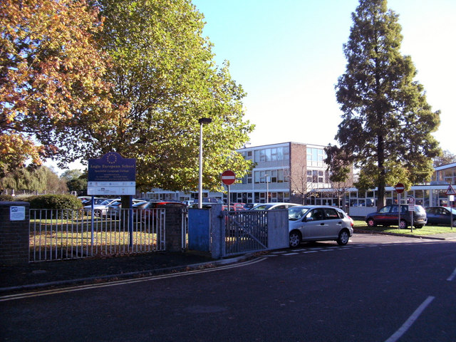
Anglo European School
Anglo European School is a self-governing, co-educational international academy school situated in Ingatestone, Essex. It is a school for boys and girls...
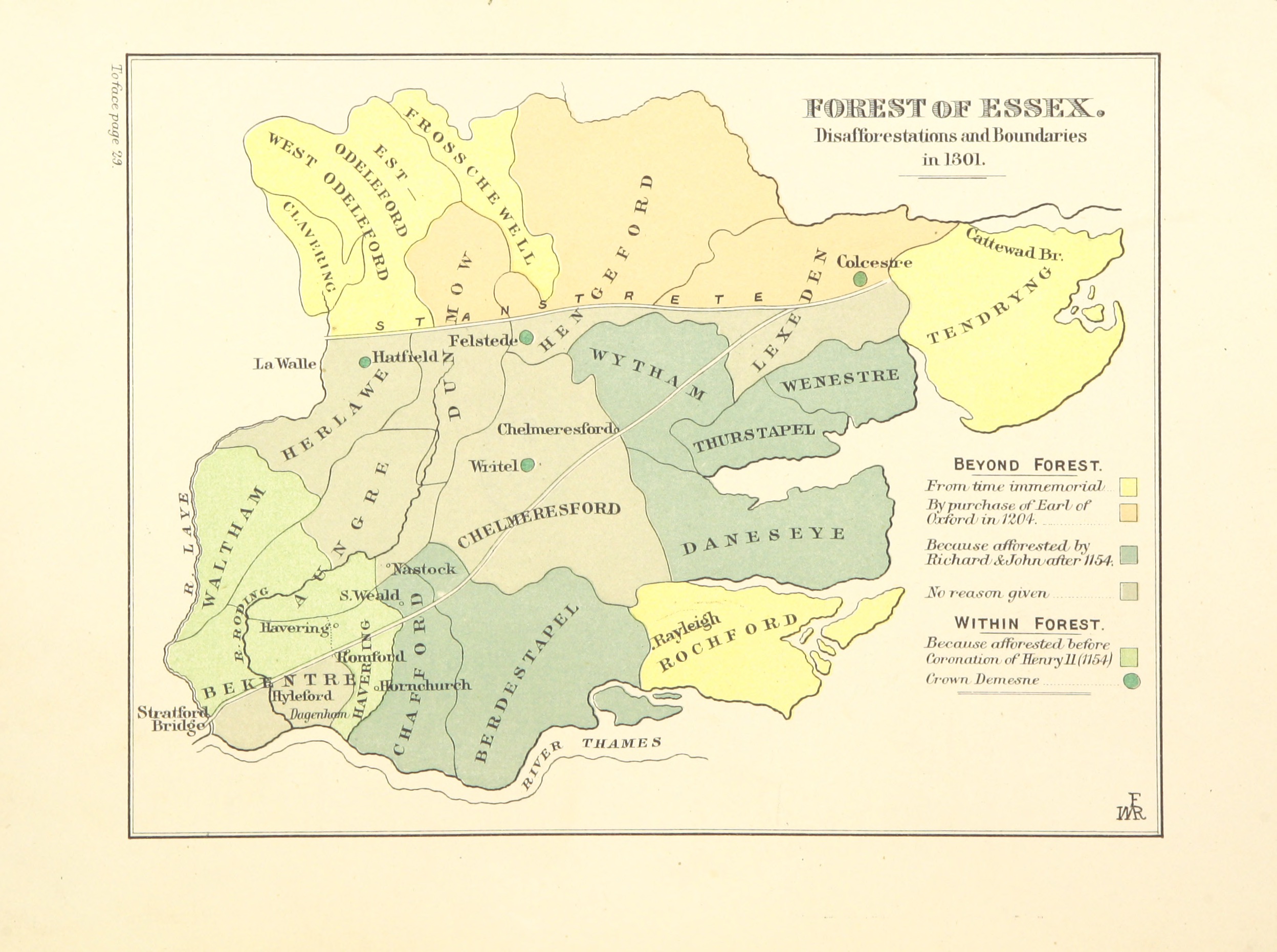
Forest of Essex
The Forest of Essex was a royal forest that existed from around 1100 and was disestablished in the 13th century. Forests were legal institutions introduced...
Nearby Amenities
Located within 500m of 51.691123,0.36700565Have you been to Stoneymore Wood?
Leave your review of Stoneymore Wood below (or comments, questions and feedback).