Kett's Oak Wood
Wood, Forest in Norfolk King's Lynn and West Norfolk
England
Kett's Oak Wood
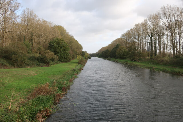
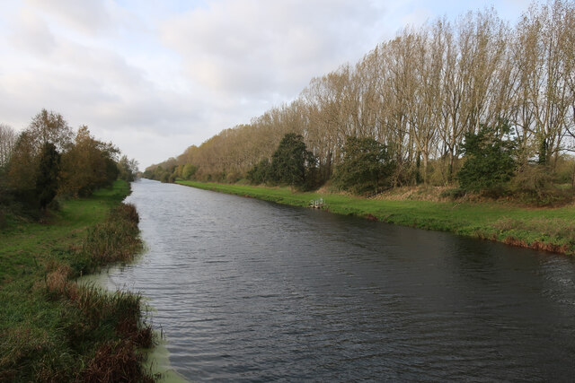
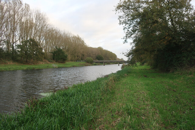
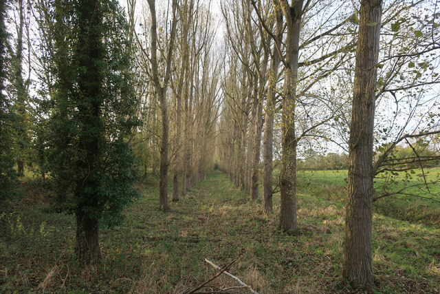
Kett's Oak Wood is a beautiful woodland located in the county of Norfolk, England. Covering an area of approximately 20 acres, it is nestled within the larger Wreningham Wood, near the village of Wreningham. This ancient woodland is known for its diverse range of trees, with the majestic oak being the dominant species.
The wood is named after the infamous Kett's Rebellion, which took place in 1549. The leader of the rebellion, Robert Kett, is said to have sought refuge in this very woodland during the uprising against the enclosures of common land. Today, a plaque commemorating this historical event can be found near the entrance of the wood.
Kett's Oak Wood boasts a rich biodiversity, with a variety of flora and fauna thriving within its boundaries. The woodland floor is carpeted with bluebells in the spring, creating a stunning display of color. Other wildflowers such as primroses and foxgloves can also be spotted during the warmer months.
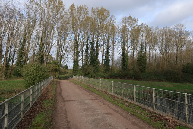
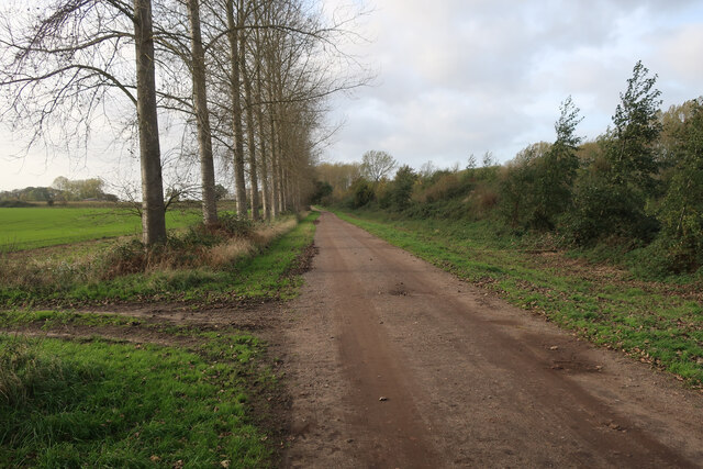
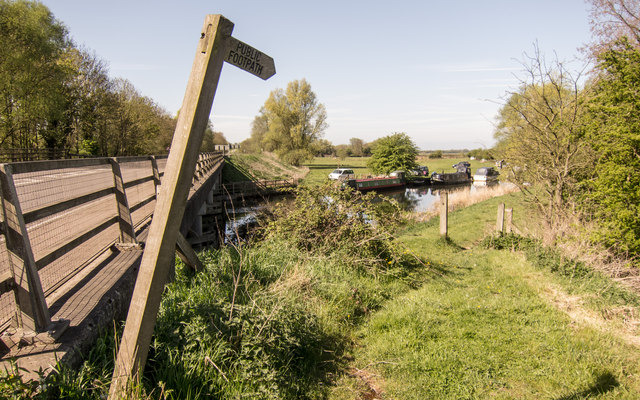
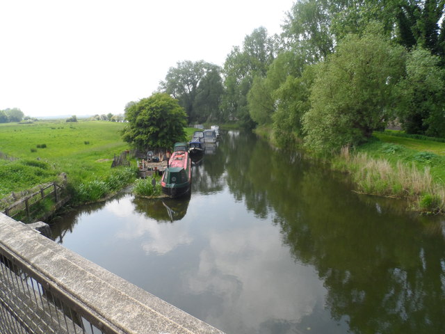
Visitors to Kett's Oak Wood can enjoy peaceful walks along its well-maintained footpaths, which wind through the ancient trees. The wood is home to a wide array of bird species, making it a haven for birdwatchers. The tranquil atmosphere and natural beauty of the wood provide the perfect setting for nature enthusiasts and photographers alike.
Overall, Kett's Oak Wood is a cherished natural gem in Norfolk, offering a glimpse into both its historical and ecological significance.
If you have any feedback on the listing, please let us know in the comments section below.
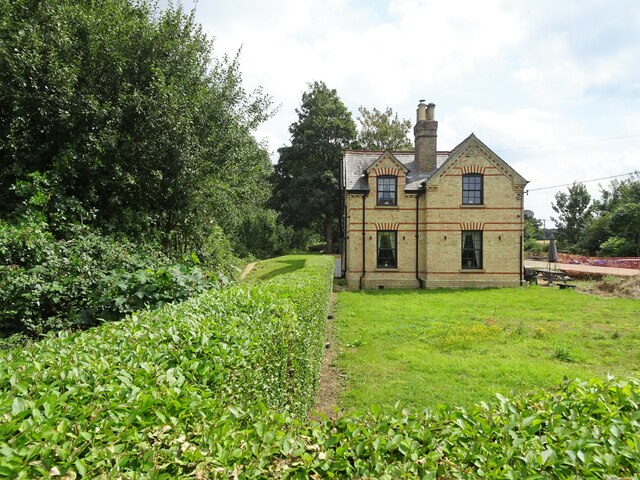
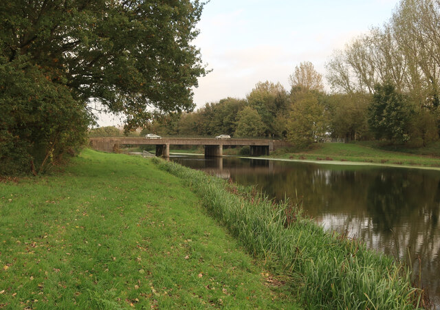
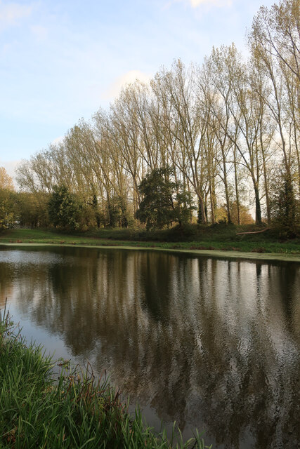
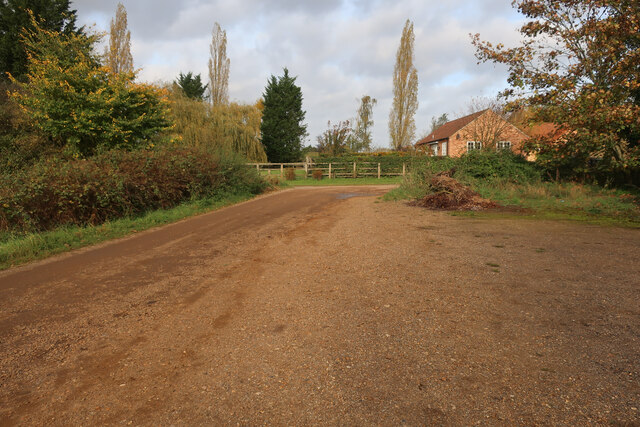
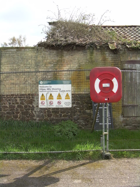
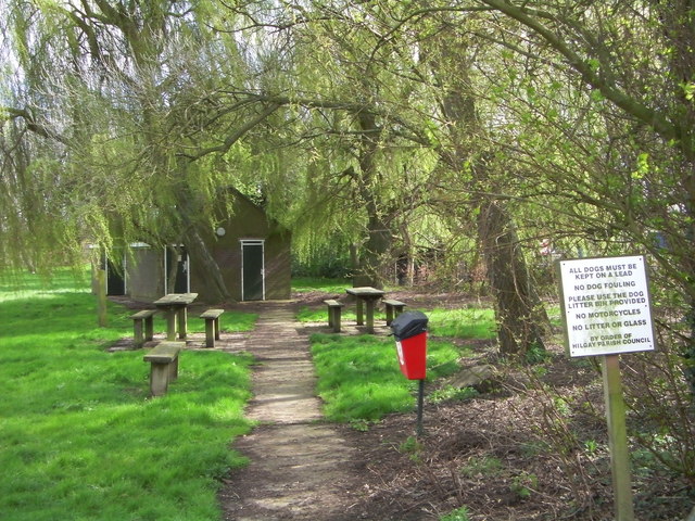
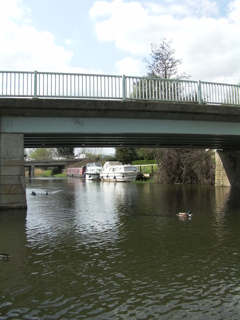
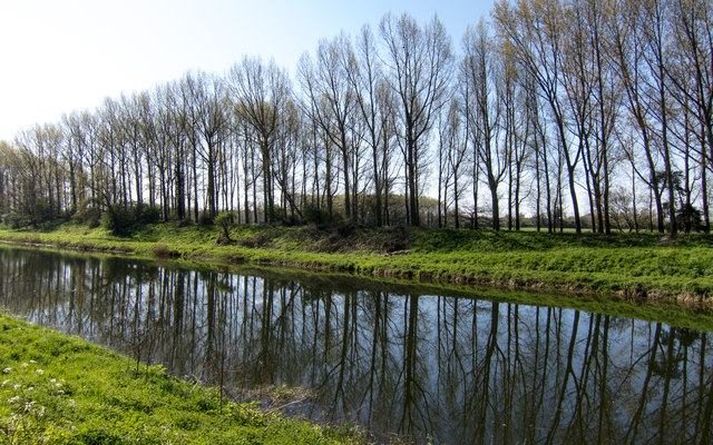
Kett's Oak Wood Images
Images are sourced within 2km of 52.576244/0.40038585 or Grid Reference TF6200. Thanks to Geograph Open Source API. All images are credited.
Kett's Oak Wood is located at Grid Ref: TF6200 (Lat: 52.576244, Lng: 0.40038585)
Administrative County: Norfolk
District: King's Lynn and West Norfolk
Police Authority: Norfolk
What 3 Words
///expecting.fists.pebble. Near Downham Market, Norfolk
Nearby Locations
Related Wikis
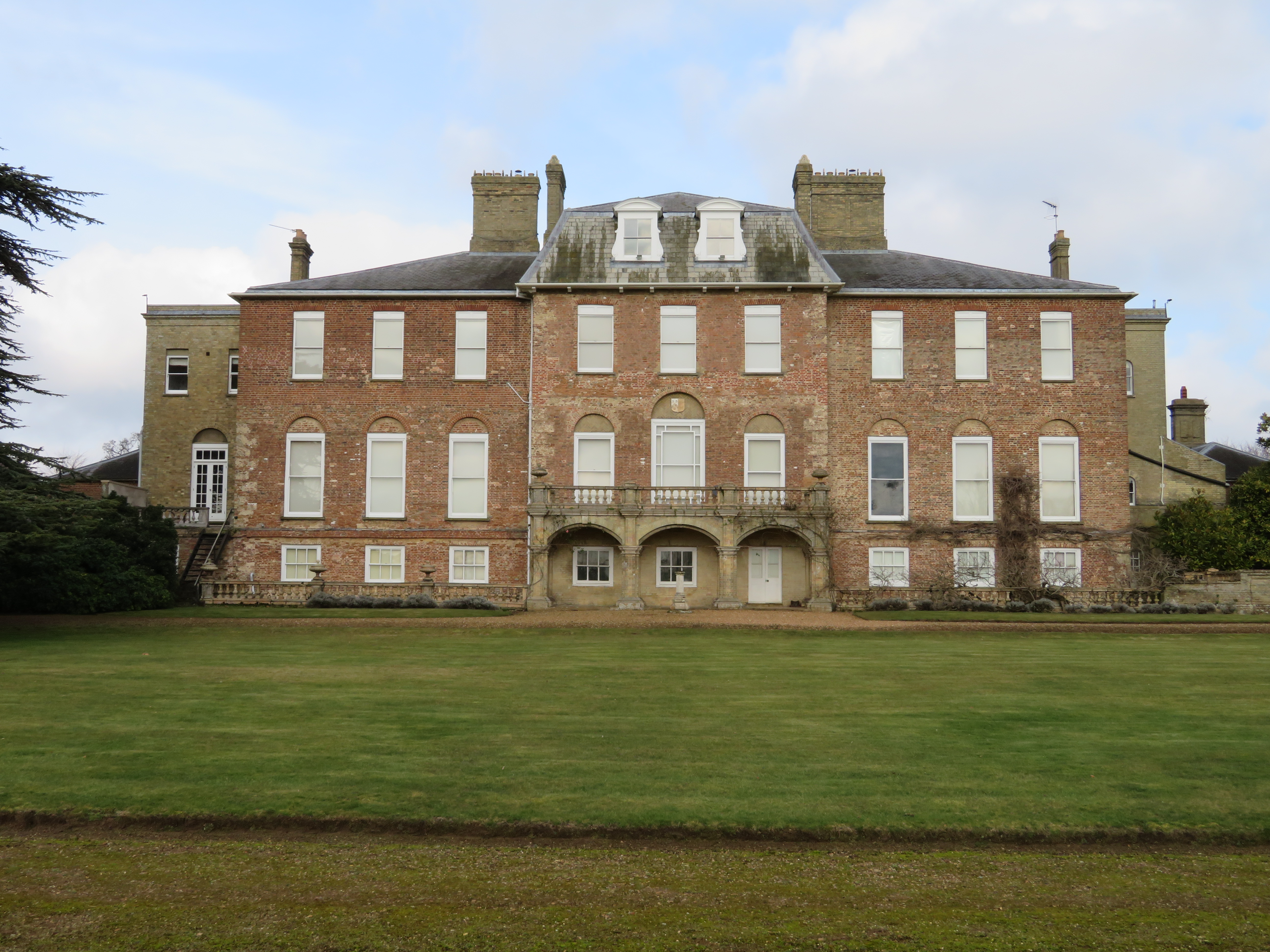
Ryston Hall
Ryston Hall, Ryston, Norfolk, England is a 17th-century country house built by Sir Roger Pratt for himself. The house was constructed between 1669 and...

Ryston
Ryston is a small village and civil parish in the English county of Norfolk. It once had its own railway station. The villages name means 'Brushwood farm/settlement...

1974 Norfolk mid-air collision
The 1974 Norfolk mid-air collision happened on 9 August 1974 at Fordham Fen, Norfolk, England when a Royal Air Force McDonnell-Douglas F-4M Phantom FGR...
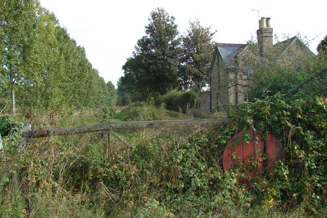
Ryston railway station
Ryston railway station was a railway station serving Fordham, Norfolk. It was on a branch line from Denver. == History == The Downham and Stoke Ferry Railway...

St Mary's Church, Fordham
St Mary's Church is located to the south of the village of Fordham, Norfolk, England. It is a redundant Anglican parish church in the care of the Friends...
Fordham, Norfolk
Fordham is a small village and civil parish in the English county of Norfolk. The village is located 2.2 miles (3.5 km) north of Downham Market and 39...

Hilgay Heronry
Hilgay Heronry is a 1.8-hectare (4.4-acre) biological Site of Special Scientific Interest south of Downham Market in Norfolk.This small wood has a nationally...

Denver, Norfolk
Denver is a village and civil parish in the English county of Norfolk. The village is situated on the River Great Ouse, approximately 1 mile (1.6 km) south...
Nearby Amenities
Located within 500m of 52.576244,0.40038585Have you been to Kett's Oak Wood?
Leave your review of Kett's Oak Wood below (or comments, questions and feedback).