Poachers Belt
Wood, Forest in Norfolk King's Lynn and West Norfolk
England
Poachers Belt
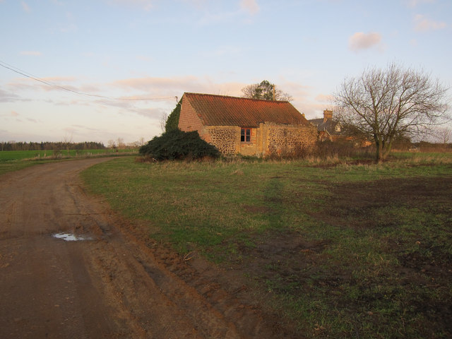
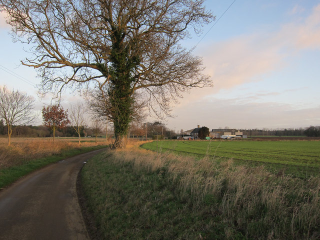
Poachers Belt is a woodland area located in the county of Norfolk, England. Covering an approximate area of [x] acres, it is situated [x] miles [direction] of [nearest town/city]. The woodland derives its name from its historical association with poaching activities that took place in the 18th and 19th centuries.
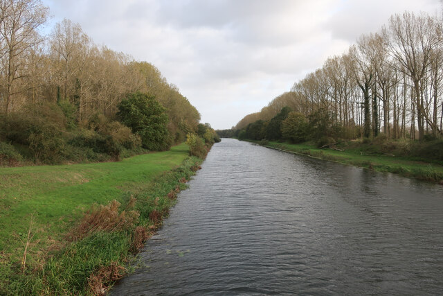
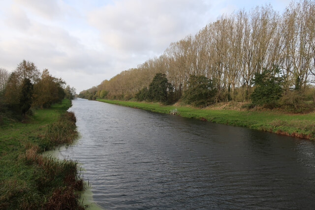
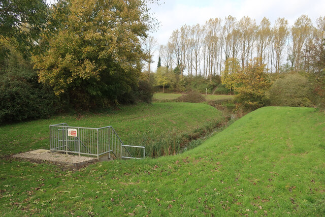
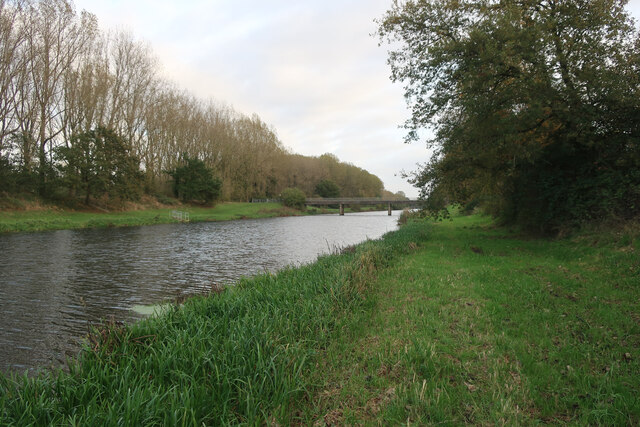
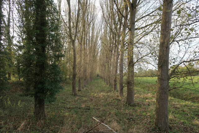
The Poachers Belt woodland is characterized by a diverse range of tree species, including oak, ash, beech, and birch. It boasts a rich and thriving ecosystem, supporting a variety of flora and fauna. The forest floor is carpeted with bluebells and other wildflowers during the spring season, creating a picturesque and colorful landscape.
The woodland is home to numerous bird species, including woodpeckers, owls, and various songbirds. It also provides habitat for small mammals such as foxes, rabbits, and squirrels. Visitors to Poachers Belt can enjoy observing and learning about these creatures in their natural habitat.
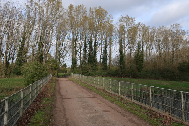
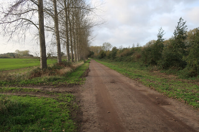
The area is a popular destination for nature enthusiasts, hikers, and photographers, offering a tranquil and scenic environment for outdoor activities. There are well-maintained walking trails that wind through the woodland, allowing visitors to explore and appreciate its beauty. These paths are easily accessible and suitable for people of all ages and abilities.
Poachers Belt, Norfolk, offers a unique opportunity to experience the beauty of nature and immerse oneself in the rich history of the area. It serves as an important reminder of the region's past while also providing a valuable natural resource for the community to enjoy.
If you have any feedback on the listing, please let us know in the comments section below.
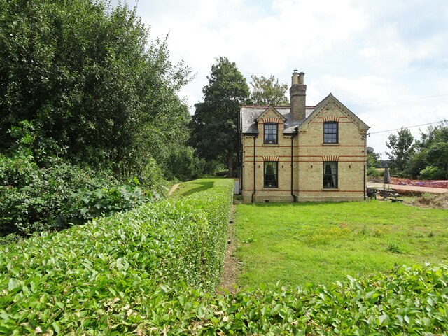
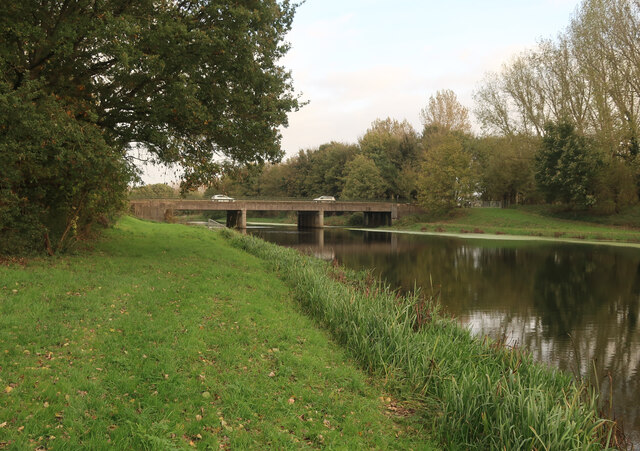
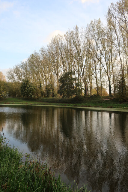
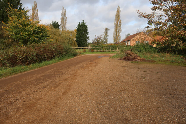
Poachers Belt Images
Images are sourced within 2km of 52.574123/0.39370219 or Grid Reference TF6200. Thanks to Geograph Open Source API. All images are credited.


Poachers Belt is located at Grid Ref: TF6200 (Lat: 52.574123, Lng: 0.39370219)
Administrative County: Norfolk
District: King's Lynn and West Norfolk
Police Authority: Norfolk
What 3 Words
///stove.thousands.nurture. Near Downham Market, Norfolk
Nearby Locations
Related Wikis
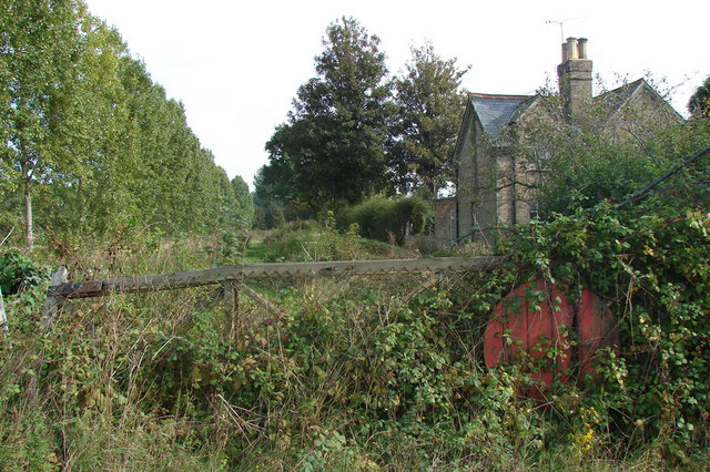
Ryston railway station
Ryston railway station was a railway station serving Fordham, Norfolk. It was on a branch line from Denver. == History == The Downham and Stoke Ferry Railway...

St Mary's Church, Fordham
St Mary's Church is located to the south of the village of Fordham, Norfolk, England. It is a redundant Anglican parish church in the care of the Friends...
Fordham, Norfolk
Fordham is a small village and civil parish in the English county of Norfolk. The village is located 2.2 miles (3.5 km) north of Downham Market and 39...

1974 Norfolk mid-air collision
The 1974 Norfolk mid-air collision happened on 9 August 1974 at Fordham Fen, Norfolk, England when a Royal Air Force McDonnell-Douglas F-4M Phantom FGR...
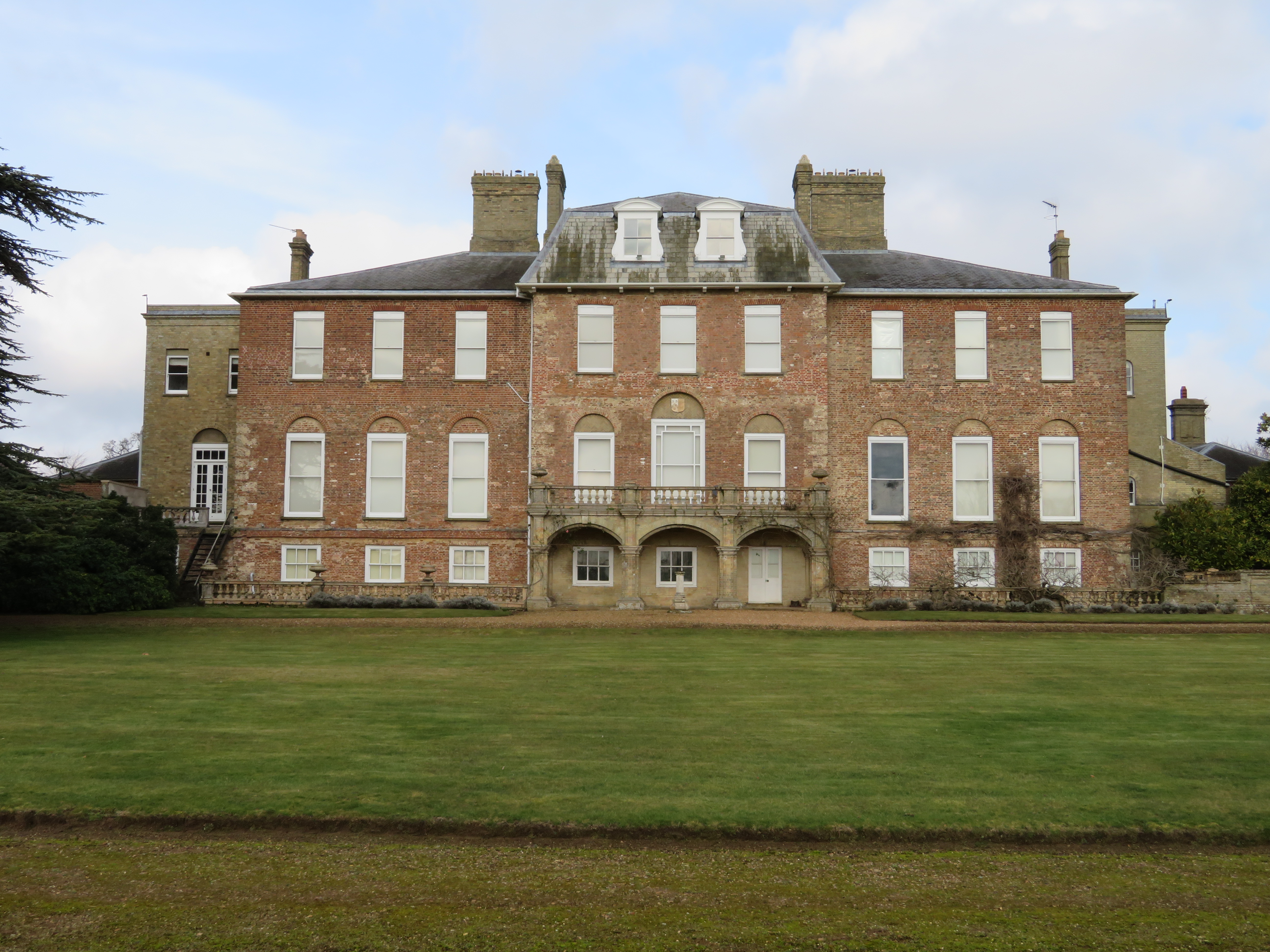
Ryston Hall
Ryston Hall, Ryston, Norfolk, England is a 17th-century country house built by Sir Roger Pratt for himself. The house was constructed between 1669 and...

Ryston
Ryston is a small village and civil parish in the English county of Norfolk. It once had its own railway station. The villages name means 'Brushwood farm/settlement...

Hilgay Heronry
Hilgay Heronry is a 1.8-hectare (4.4-acre) biological Site of Special Scientific Interest south of Downham Market in Norfolk.This small wood has a nationally...

Hilgay
Hilgay is a village and civil parish in Norfolk, England, 4 miles (6.4 km) from Downham Market. It covers an area of 33.38 km2 (12.89 sq mi) and had a...
Nearby Amenities
Located within 500m of 52.574123,0.39370219Have you been to Poachers Belt?
Leave your review of Poachers Belt below (or comments, questions and feedback).