Felin-gwm-isaf

Settlement in Carmarthenshire

Wales

Felin-gwm-isaf

Holy Trinity Church near Pontargothi On the north side of the quiet Cothi valley, over a kilometre upstream from the village of Pontargothi along narrow back roads, lies this church in quite spacious grounds.
Holy Trinity Church near Pontargothi Credit: Nigel Davies

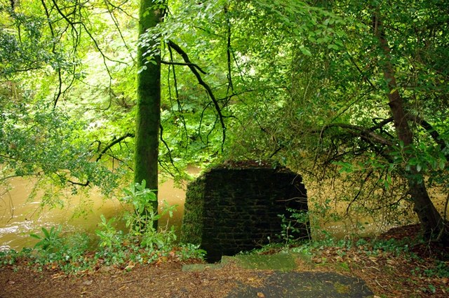
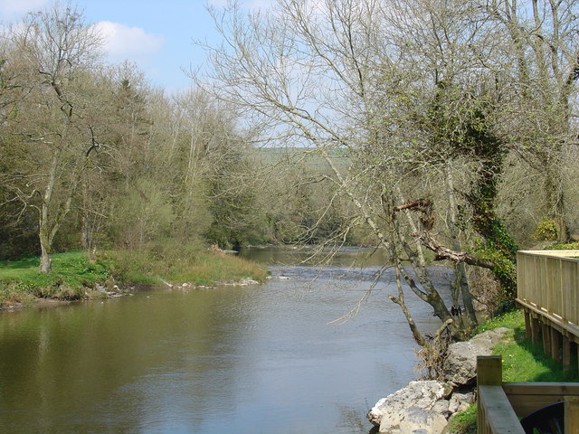
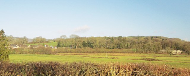
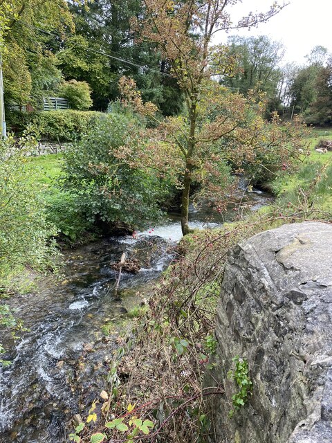
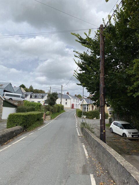
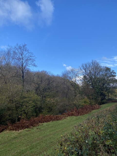
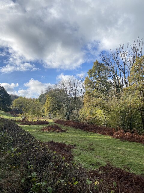
Felin-gwm-isaf is a small village located in Carmarthenshire, Wales. Nestled within the picturesque countryside, it is situated near the banks of the River Tywi. The village is known for its tranquil and scenic surroundings, attracting nature enthusiasts and those seeking a peaceful retreat.

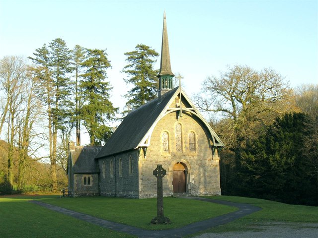
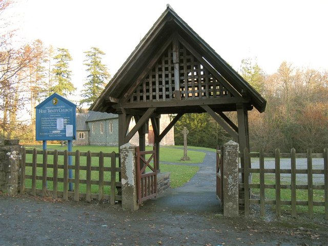
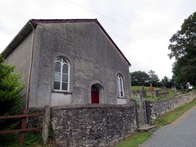
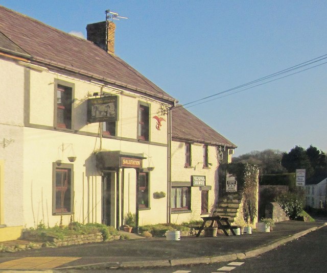
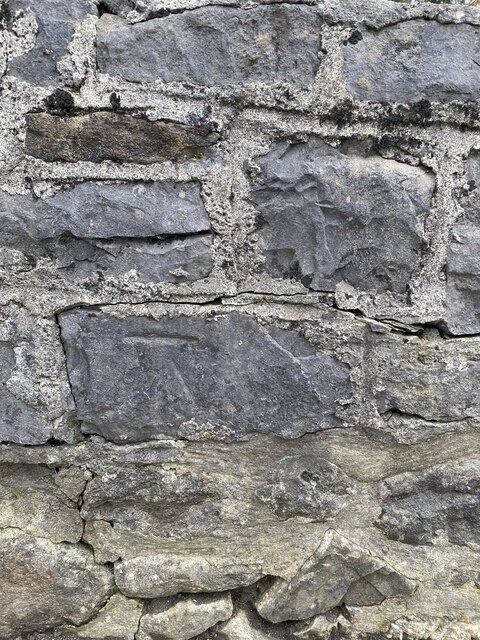
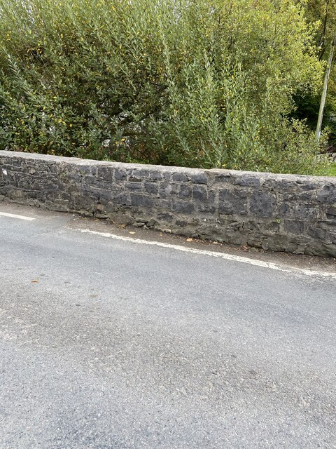
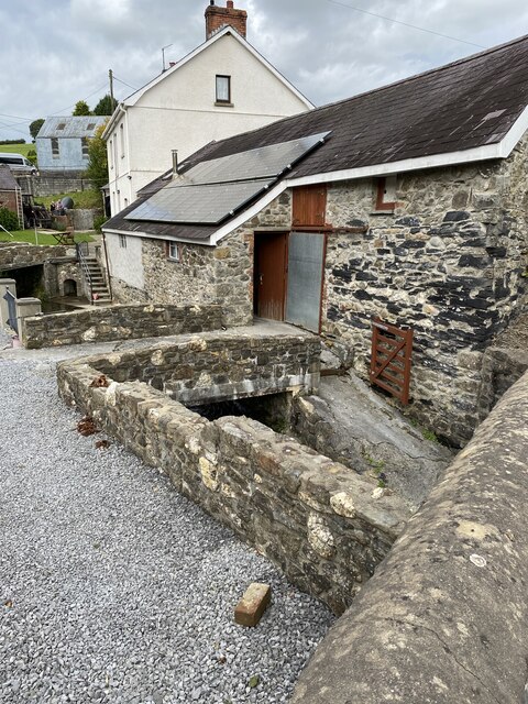
The name Felin-gwm-isaf translates to "lower valley mill" in English, reflecting its historical association with milling activities. The village is characterized by its charming old stone buildings and traditional Welsh architecture, which adds to its quaint and rustic appeal.

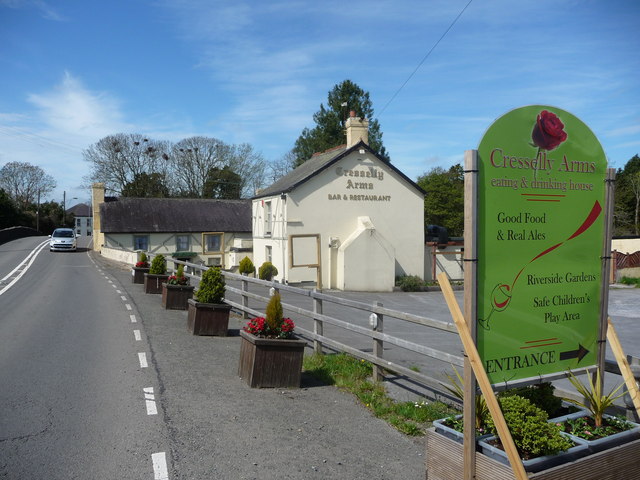
The community in Felin-gwm-isaf is close-knit, with a population of approximately 300 residents. The village has a welcoming and friendly atmosphere, with residents often engaging in local events and gatherings. The village is well-served by several amenities, including a village hall, a local pub, and a small convenience store that caters to the daily needs of its inhabitants.

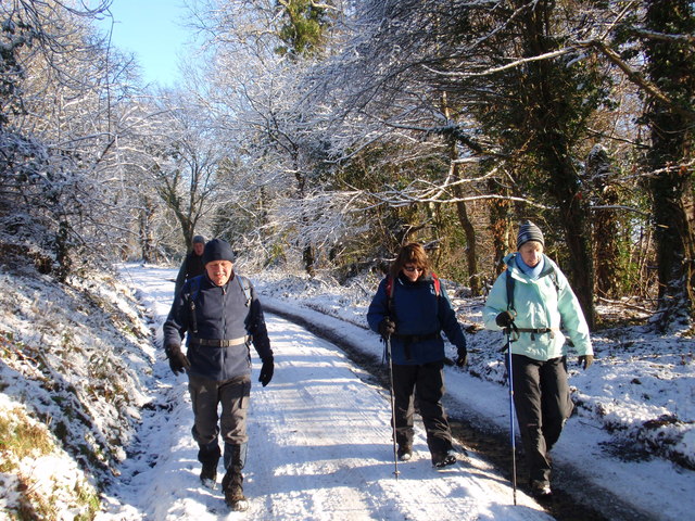
The surrounding countryside offers plenty of opportunities for outdoor activities such as hiking, cycling, and fishing. The nearby River Tywi is particularly popular among anglers, known for its abundance of trout and salmon. The area is also home to a diverse range of wildlife, with many bird species and small mammals inhabiting the woodlands and meadows surrounding the village.

Overall, Felin-gwm-isaf provides a charming and picturesque setting for residents and visitors alike, with its natural beauty and peaceful atmosphere making it an idyllic destination for those seeking a retreat from the bustling city life.

If you have any feedback on the listing, please let us know in the comments section below.

Felin-gwm-isaf Images

Images are sourced within 2km of 51.892014/-4.167168 or Grid Reference SN5023. Thanks to Geograph Open Source API. All images are credited.

Holy Trinity Church near Pontargothi On the north side of the quiet Cothi valley, over a kilometre upstream from the village of Pontargothi along narrow back roads, lies this church in quite spacious grounds.
Holy Trinity Church near Pontargothi
On the north side of the quiet Cothi valley, over a kilometre upstream from the village of Pontargothi along narrow back roads, lies this church in quite spacious grounds.
Lychgate, Holy Trinity Church This is the gate at <a href="https://www.geograph.org.uk/photo/2714525">SN5022 : Holy Trinity Church near Pontargothi</a>
Lychgate, Holy Trinity Church
Another missing Carmarthenshire footbridge This is one of 44 bridges in the county in need of replacement, and another example of the shocking state of public footpaths in Carmarthenshire
Another missing Carmarthenshire footbridge
This is one of 44 bridges in the county in need of replacement, and another example of the shocking state of public footpaths in Carmarthenshire
The Cresselly Arms, Pont-ar-Gothi A well known and long established roadside hostelry.
The Cresselly Arms, Pont-ar-Gothi
A well known and long established roadside hostelry.
The River Cothi at Pont-ar-gothi From the garden of the Cresselly Arms.
The River Cothi at Pont-ar-gothi
From the garden of the Cresselly Arms.
Capel Sitim Chapel Sitim, Capel y Bedyddwyr yn Felingwm Isaf. Fe'i codwyd yn gyntaf yn 1817 ac fe'i hailadeiladwyd yn 1848. Mae'r addoldy presennol yn dyddio o 1874.

Sitim Baptist Chapel in Felingwm Isaf (trans. lower mill valley). The first meeting house was built in 1817 and it was rebuilt in 1848. The present chapel dates from 1874.
Capel Sitim Chapel
Sitim, Capel y Bedyddwyr yn Felingwm Isaf. Fe'i codwyd yn gyntaf yn 1817 ac fe'i hailadeiladwyd yn 1848. Mae'r addoldy presennol yn dyddio o 1874. Sitim Baptist Chapel in Felingwm Isaf (trans. lower mill valley). The first meeting house was built in 1817 and it was rebuilt in 1848. The present chapel dates from 1874.
Heol Alltyferin Road Cerddwyr yn dilyn llwybr cyhoeddus i bentre Pontargothi. Mae'r heol yn arwain at gyn Plasty Allyferin.


Walkers following a public footpath to Pontargothi (trans. bridge on the Cothi river). The way is an access road to the former Alltyferin Mansion.
Heol Alltyferin Road
Cerddwyr yn dilyn llwybr cyhoeddus i bentre Pontargothi. Mae'r heol yn arwain at gyn Plasty Allyferin. Walkers following a public footpath to Pontargothi (trans. bridge on the Cothi river). The way is an access road to the former Alltyferin Mansion.
Milestone - Nantgaredig 1
The Salutation, Pont-ar-Gothi A pub beside the A40.
The Salutation, Pont-ar-Gothi
A pub beside the A40.
Fields east of Pont-ar-Gothi From the A40. The buildings, including the farm at Cilarddu on the right, are in <a href="https://www.geograph.org.uk/gridref/SN5122">SN5122</a>.
Fields east of Pont-ar-Gothi
From the A40. The buildings, including the farm at Cilarddu on the right, are in SN5122.
OS Cut Mark - Felingwm-uchaf, Llammarch Bridge <span class="nowrap"><a title="https://www.bench-marks.org.uk/bm107255" rel="nofollow ugc noopener" href="https://www.bench-marks.org.uk/bm107255">Link</a><img style="margin-left:2px;" alt="External link" title="External link - shift click to open in new window" src="https://s1.geograph.org.uk/img/external.png" width="10" height="10"/></span>
OS Cut Mark - Felingwm-uchaf, Llammarch Bridge
Location of OS Cut Mark - Felingwm-uchaf, Llammarch Bridge
Afon Llammarch
Afon Llammarch
Afon Llammarch
Afon Llammarch
Felingwmuchaf
Felingwmuchaf
On the banks of Afon Cothi
Cwm Cothi
Cwm Cothi
Ordnance Survey Cut Mark This OS cut mark can be found on the gatepost NW side of the road. It marks a point 27.047m above mean sea level.
Ordnance Survey Cut Mark
This OS cut mark can be found on the gatepost NW side of the road. It marks a point 27.047m above mean sea level.
Show me another place!

Felin-gwm-isaf is located at Grid Ref: SN5023 (Lat: 51.892014, Lng: -4.167168)

Unitary Authority: Carmarthenshire

Police Authority: Dyfed Powys

Also known as: Felingwmisaf

What 3 Words

///attracts.intend.increases. Near Llanfynydd, Carmarthenshire

Related Wikis

Pont-ar-Gothi

Pont-ar-gothi (otherwise Pontargothi or Cothi Bridge) is a village in Carmarthenshire, West Wales. The village takes its name from the bridge where the...

Llanfihangel-uwch-Gwili

Llanfihangel-uwch-Gwili is a village in Carmarthenshire, Wales. The church is one of many in Wales dedicated to Saint Michael the Archangel. == References ==

Llanegwad

Llanegwad () is a village and community located in Carmarthenshire, Wales. The population taken at the 2011 census was 1,473.Llanegwad is built up mainly...
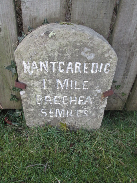
Nantgaredig

Nantgaredig is a village in Carmarthenshire, Wales. It is about 4 miles (6.4 km) east of the county town of Carmarthen on the A40 in the parish of Llanegwad...

Cae Cwm-tywyll

Cae Cwm-tywyll is an unimproved hay meadow that is a Site of Special Scientific Interest in Carmarthenshire, Wales. == See also == List of Sites of Special...

Afon Cothi

The Afon Cothi (also known as the River Cothy) in Carmarthenshire is the largest tributary of the River Tywi in south Wales. From its source at Blaen Cothi...

Nantgaredig railway station

Nantgaredig railway station served to village of Nantgaredig, Carmarthenshire, Wales from 1865 to 1963 on the Llanelly Railway. == History == The station...

Llanarthney Halt railway station

Llanarthney railway station served the village of Llanarthney, in the historical county of Carmarthenshire, Wales, from 1865 to 1963 on the Llanelly Railway...

Nearby Amenities

Located within 500m of 51.892014,-4.167168
Give Way
Direction: backward
Lat/Long: 51.8932028/-4.1711065
Felingwmisaf
Place: hamlet
Lat/Long: 51.893348/-4.1697663
Post Box
Collection Times: Mo-Fr 14:30; Sa 12:15
Note: Ref is partially obscured by water damage
Post Box Type: lamp
Ref: SA32 286
Royal Cypher: GR
Royal Cypher Wikidata: Q33102273
Lat/Long: 51.89289/-4.1710635
The data included in this document is from www.openstreetmap.org. The data is made available under ODbL.

Have you been to Felin-gwm-isaf?

Leave your review of Felin-gwm-isaf below (or comments, questions and feedback).