Allt Cwm-gwyn-uchaf

Wood, Forest in Carmarthenshire

Wales

Allt Cwm-gwyn-uchaf

Holy Trinity Church near Pontargothi On the north side of the quiet Cothi valley, over a kilometre upstream from the village of Pontargothi along narrow back roads, lies this church in quite spacious grounds.
Holy Trinity Church near Pontargothi Credit: Nigel Davies

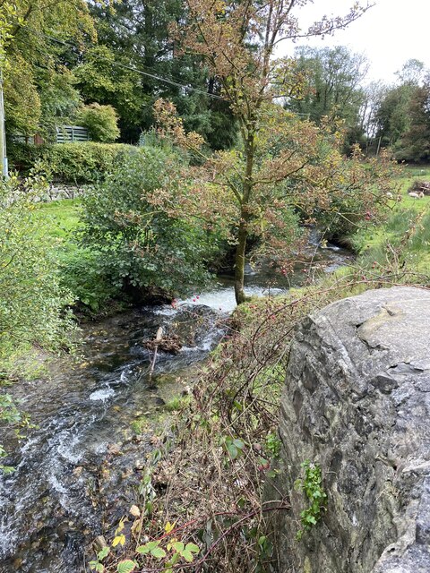
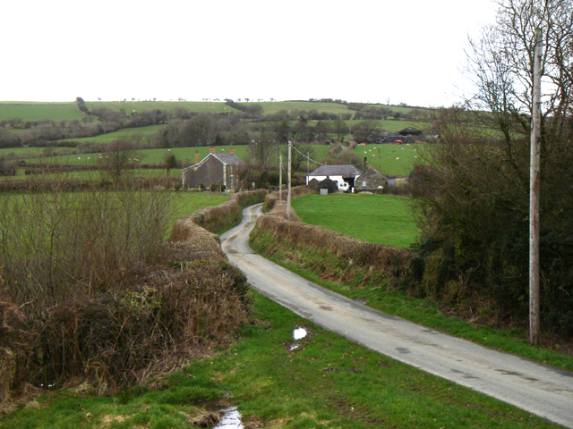
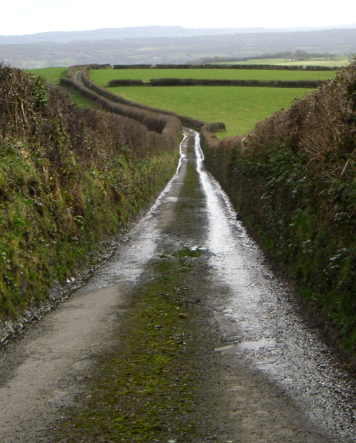
Allt Cwm-gwyn-uchaf is a beautiful woodland located in Carmarthenshire, Wales. Situated in the western part of the county, this woodland area covers a vast expanse of approximately 200 acres. It is known for its stunning landscape, rich biodiversity, and serene atmosphere.

The woodland consists primarily of native broadleaf trees such as oak, ash, and beech, which create a dense canopy that provides shade and shelter for numerous species of flora and fauna. The forest floor is adorned with a carpet of wildflowers, ferns, and mosses, adding to the enchanting ambiance of the area.

Allt Cwm-gwyn-uchaf is home to a variety of wildlife, including red kites, buzzards, and woodpeckers that can be spotted soaring above the treetops. The woodland also hosts a diverse range of smaller animals, such as badgers, foxes, and squirrels, which thrive within its protected boundaries.

There are several walking trails that wind through the woodland, allowing visitors to explore its beauty firsthand. These paths provide an opportunity to immerse oneself in nature, breathe in the fresh air, and enjoy the peaceful surroundings. The tranquil atmosphere makes it an ideal location for nature lovers, hikers, and photographers.

In addition to its natural beauty, Allt Cwm-gwyn-uchaf holds historical significance. It has been a part of the local landscape for centuries and has witnessed the passage of time. The woodland serves as a reminder of the area's rich cultural heritage and provides a glimpse into the past.

Overall, Allt Cwm-gwyn-uchaf is a captivating woodland that offers a haven of tranquility and natural beauty. Its lush greenery, diverse wildlife, and peaceful ambiance make it a must-visit destination for nature enthusiasts and those seeking respite from the hustle and bustle of modern life.

If you have any feedback on the listing, please let us know in the comments section below.

Allt Cwm-gwyn-uchaf Images

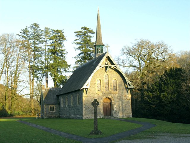
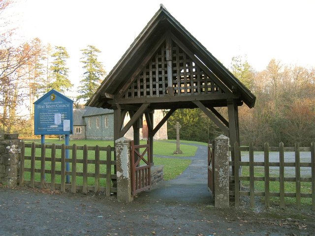
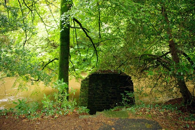
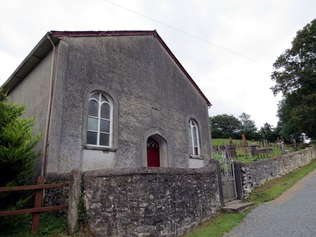
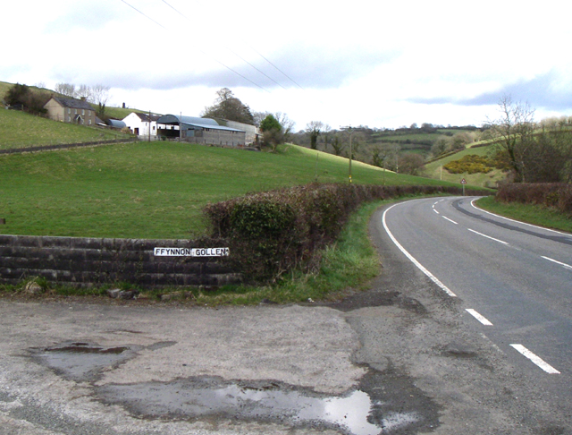
Images are sourced within 2km of 51.894183/-4.1792759 or Grid Reference SN5023. Thanks to Geograph Open Source API. All images are credited.

Holy Trinity Church near Pontargothi On the north side of the quiet Cothi valley, over a kilometre upstream from the village of Pontargothi along narrow back roads, lies this church in quite spacious grounds.
Holy Trinity Church near Pontargothi
On the north side of the quiet Cothi valley, over a kilometre upstream from the village of Pontargothi along narrow back roads, lies this church in quite spacious grounds.
Lychgate, Holy Trinity Church This is the gate at <a href="https://www.geograph.org.uk/photo/2714525">SN5022 : Holy Trinity Church near Pontargothi</a>
Lychgate, Holy Trinity Church
Another missing Carmarthenshire footbridge This is one of 44 bridges in the county in need of replacement, and another example of the shocking state of public footpaths in Carmarthenshire
Another missing Carmarthenshire footbridge
This is one of 44 bridges in the county in need of replacement, and another example of the shocking state of public footpaths in Carmarthenshire
Capel Sitim Chapel Sitim, Capel y Bedyddwyr yn Felingwm Isaf. Fe'i codwyd yn gyntaf yn 1817 ac fe'i hailadeiladwyd yn 1848. Mae'r addoldy presennol yn dyddio o 1874.

Sitim Baptist Chapel in Felingwm Isaf (trans. lower mill valley). The first meeting house was built in 1817 and it was rebuilt in 1848. The present chapel dates from 1874.
Capel Sitim Chapel
Sitim, Capel y Bedyddwyr yn Felingwm Isaf. Fe'i codwyd yn gyntaf yn 1817 ac fe'i hailadeiladwyd yn 1848. Mae'r addoldy presennol yn dyddio o 1874. Sitim Baptist Chapel in Felingwm Isaf (trans. lower mill valley). The first meeting house was built in 1817 and it was rebuilt in 1848. The present chapel dates from 1874.
Milestone - Nantgaredig 1
OS Cut Mark - Felingwm-uchaf, Llammarch Bridge <span class="nowrap"><a title="https://www.bench-marks.org.uk/bm107255" rel="nofollow ugc noopener" href="https://www.bench-marks.org.uk/bm107255">Link</a><img style="margin-left:2px;" alt="External link" title="External link - shift click to open in new window" src="https://s1.geograph.org.uk/img/external.png" width="10" height="10"/></span>
OS Cut Mark - Felingwm-uchaf, Llammarch Bridge
Location of OS Cut Mark - Felingwm-uchaf, Llammarch Bridge
Afon Llammarch
Afon Llammarch
Afon Llammarch
Afon Llammarch
Felingwmuchaf
Felingwmuchaf
Ordnance Survey Cut Mark This OS cut mark can be found on the gatepost at the road junction. It marks a point 139.382m above mean sea level.
Ordnance Survey Cut Mark
This OS cut mark can be found on the gatepost at the road junction. It marks a point 139.382m above mean sea level.
Ordnance Survey Rivet This scruffy OS rivet can be found at the base of Pant-yr-onen. It marks a point 104.085m above mean sea level.
Ordnance Survey Rivet
This scruffy OS rivet can be found at the base of Pant-yr-onen. It marks a point 104.085m above mean sea level.
Ordnance Survey Cut Mark This OS cut mark can be found on the wall east side of the road. It marks a point 54.528m above mean sea level.
Ordnance Survey Cut Mark
This OS cut mark can be found on the wall east side of the road. It marks a point 54.528m above mean sea level.
Road Looking north, one of the properties is Llain-delyn - translation to follow.
Road
Looking north, one of the properties is Llain-delyn - translation to follow.
Hedges Looking due south from SN 498 239
Hedges
Looking due south from SN 498 239
Llanfihangel - uwch - Gwili Church Pretty little church.
Llanfihangel - uwch - Gwili Church
Pretty little church.
Road Looking south easterly with the B4310 crossing left to right.
Road
Looking south easterly with the B4310 crossing left to right.
Ffynnon Gollen Looking NNE to the farm Ffynnon Gollen.
Ffynnon Gollen
Looking NNE to the farm Ffynnon Gollen.
Show me another place!

Allt Cwm-gwyn-uchaf is located at Grid Ref: SN5023 (Lat: 51.894183, Lng: -4.1792759)

Unitary Authority: Carmarthenshire

Police Authority: Dyfed Powys

What 3 Words

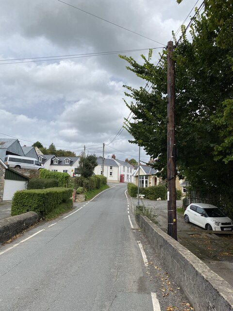
///origin.streetcar.loafer. Near Llanfynydd, Carmarthenshire

Related Wikis

Llanfihangel-uwch-Gwili

Llanfihangel-uwch-Gwili is a village in Carmarthenshire, Wales. The church is one of many in Wales dedicated to Saint Michael the Archangel. == References ==

Cae Cwm-tywyll

Cae Cwm-tywyll is an unimproved hay meadow that is a Site of Special Scientific Interest in Carmarthenshire, Wales. == See also == List of Sites of Special...

Pont-ar-Gothi

Pont-ar-gothi (otherwise Pontargothi or Cothi Bridge) is a village in Carmarthenshire, West Wales. The village takes its name from the bridge where the...
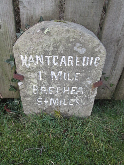
Nantgaredig

Nantgaredig is a village in Carmarthenshire, Wales. It is about 4 miles (6.4 km) east of the county town of Carmarthen on the A40 in the parish of Llanegwad...

Have you been to Allt Cwm-gwyn-uchaf?

Leave your review of Allt Cwm-gwyn-uchaf below (or comments, questions and feedback).