Swife Wood

Wood, Forest in Sussex Wealden

England

Swife Wood

Field view to Newick Wood and beyond
Field view to Newick Wood and beyond Credit: Dave Spicer

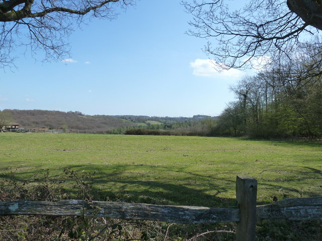
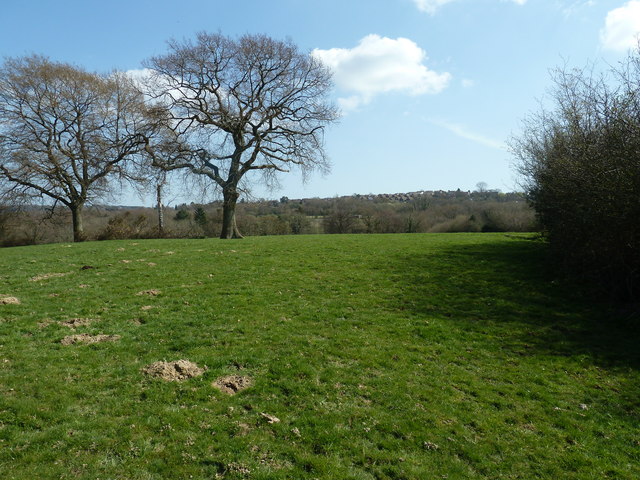
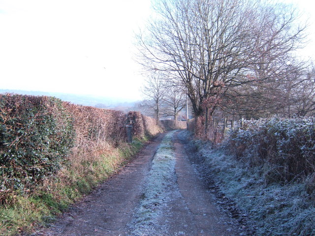
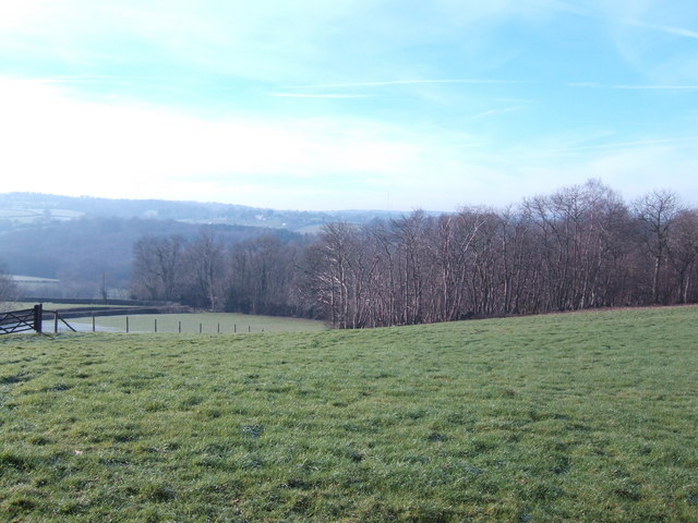
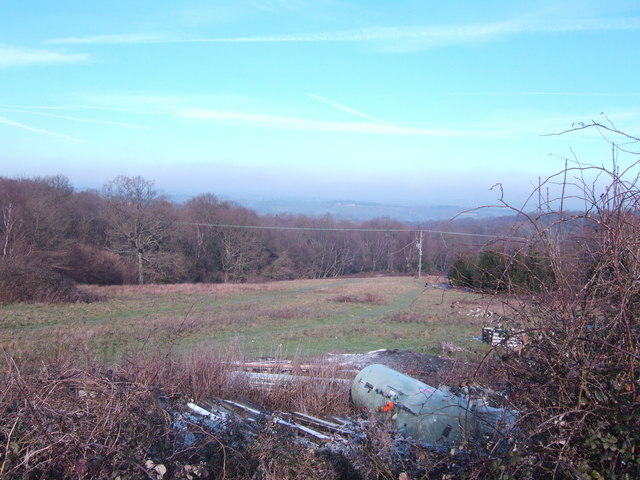
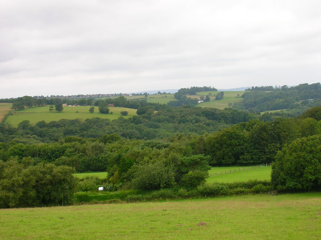
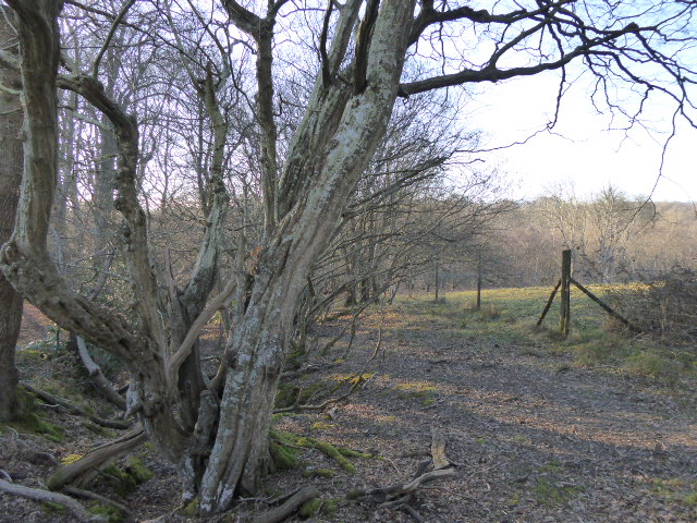
Swife Wood is a serene and enchanting forest located in Sussex, England. Spanning over an area of approximately 500 acres, it is renowned for its natural beauty and diverse ecosystem. The wood is predominantly composed of deciduous trees, including oak, beech, and birch, which create a stunning kaleidoscope of colors throughout the seasons.

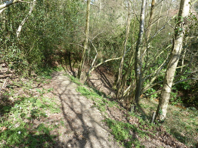
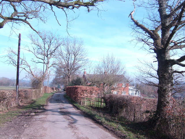
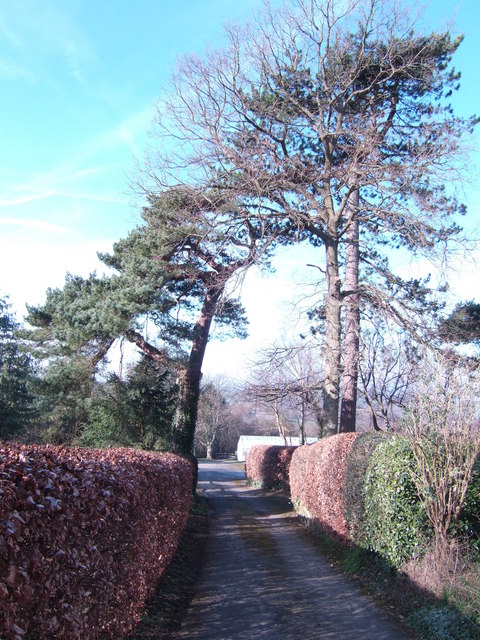
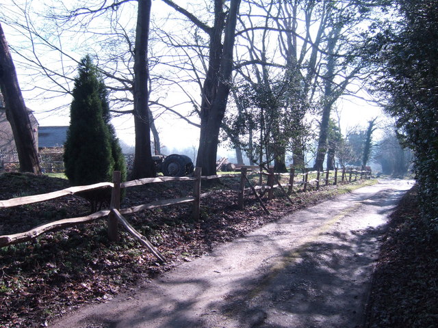
The forest is crisscrossed with a network of well-maintained trails, offering visitors the opportunity to explore its depths and immerse themselves in nature. These trails vary in difficulty, catering to both casual walkers and avid hikers. It is not uncommon to encounter wildlife such as deer, foxes, and a variety of bird species while traversing the wood, adding to the magical experience.

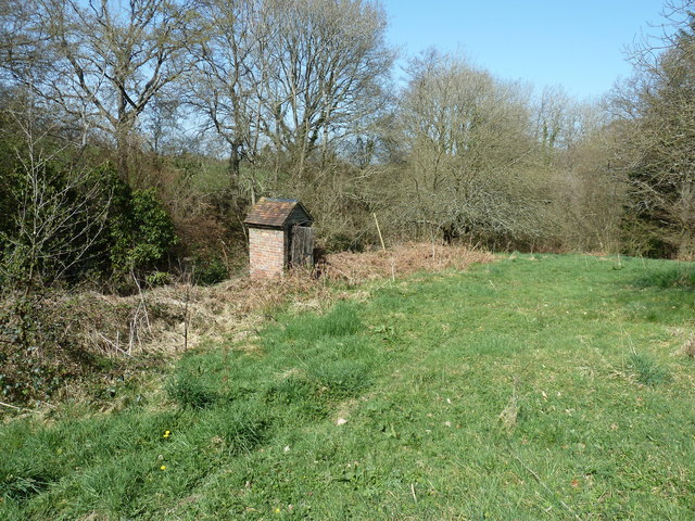
Swife Wood also boasts a rich history, dating back centuries. It has been mentioned in historical records as early as the 13th century and has witnessed various events throughout the years. Ruins of ancient structures can still be found within the forest, serving as a reminder of its past.

The wood is a popular destination for nature enthusiasts, photographers, and those seeking a peaceful retreat from the bustling city life. It offers a sense of tranquility and a chance to reconnect with the natural world. Whether it's a leisurely stroll, a picnic under the shade of a tree, or simply sitting and absorbing the beauty around, Swife Wood promises a memorable experience for all who visit.

If you have any feedback on the listing, please let us know in the comments section below.

Swife Wood Images

Images are sourced within 2km of 50.985915/0.30083884 or Grid Reference TQ6123. Thanks to Geograph Open Source API. All images are credited.

Field view to Newick Wood and beyond
Broad Oaks by the footpath to Broad Oak Broad Oak is a village to the east of Heathfield.
Broad Oaks by the footpath to Broad Oak
Broad Oak is a village to the east of Heathfield.
Descent into stream valley near Blackwater Cottage
Privy at Blackwater Cottage
Woodland stream near Blackwater Cottage The stream is a tributary of the River Rother.
Woodland stream near Blackwater Cottage
The stream is a tributary of the River Rother.
Track and footpath to Little Pigstrood
Wealden view Looking towards Heathfield, the scene is a typical mix of field and wood.
Wealden view
Looking towards Heathfield, the scene is a typical mix of field and wood.
Nursements Farm At the end of Potten Mill Lane.
Nursements Farm
At the end of Potten Mill Lane.
Broad Oak Older properties on the edge of the hillside village.
Broad Oak
Older properties on the edge of the hillside village.
Houses on Halley Road, Broad Oak
Rubbish dump and Wealden woodland
Road to the nurseries off Swife Lane Complete with fine Scots Pines.
Road to the nurseries off Swife Lane
Complete with fine Scots Pines.
Bridleway by Home Farm Just off the A265
Bridleway by Home Farm
Just off the A265
Garden Centre and Communications Mast Equal geograph billing here. The mast was in place before the 'Petals For Plants' was built just under a year ago.
Garden Centre and Communications Mast
Equal geograph billing here. The mast was in place before the 'Petals For Plants' was built just under a year ago.
View from Turks Lane
Road junction
Road junction
Braylsham  Castle What looks like a Victorian folly added to a medieval hall house is actually a residence built from 1993 onwards. Full story here <span class="nowrap"><a title="http://www.telegraph.co.uk/property/main.jhtml?xml=/property/2001/12/08/pmoat08.xml" rel="nofollow ugc noopener" href="http://www.telegraph.co.uk/property/main.jhtml?xml=/property/2001/12/08/pmoat08.xml">Link</a><img style="margin-left:2px;" alt="External link" title="External link - shift click to open in new window" src="https://s1.geograph.org.uk/img/external.png" width="10" height="10"/></span> which could also explain the writing on the digger. See <a href="https://www.geograph.org.uk/photo/505398">TQ6124 : Braylsham  Castle</a> for a closer view.
Braylsham Castle
What looks like a Victorian folly added to a medieval hall house is actually a residence built from 1993 onwards. Full story here LinkExternal link which could also explain the writing on the digger. See TQ6124 : Braylsham Castle for a closer view.
Old and New Bridges near Pottens Mill Farm The older brick bridge now replaced by a sturdier wooden bridge which carries the bridleway from Pottens Mill Lane to Corner Farm.
Old and New Bridges near Pottens Mill Farm
The older brick bridge now replaced by a sturdier wooden bridge which carries the bridleway from Pottens Mill Lane to Corner Farm.
Show me another place!

Swife Wood is located at Grid Ref: TQ6123 (Lat: 50.985915, Lng: 0.30083884)

Administrative County: East Sussex

District: Wealden

Police Authority: Sussex

What 3 Words

///flippers.liners.meanwhile. Near Heathfield, East Sussex

Related Wikis

Paines Cross Meadow

Paines Cross Meadow is a 3.7-hectare (9.1-acre) biological Site of Special Scientific Interest north-east of Heathfield in East Sussex.This site is damp...

Ebenezer Chapel, Heathfield

Ebenezer Chapel is a Strict Baptist place of worship in the hamlet of Broad Oak, part of the parish of Heathfield in the English county of East Sussex...

Bingletts Wood

Bingletts Wood is a 16-hectare (40-acre) biological Site of Special Scientific Interest east of Heathfield in East Sussex.Part of this ancient wood is...

Blackdown Mill, Punnetts Town

Blackdown Mill or Cherry Clack Mill is a grade II listed smock mill at Punnetts Town, East Sussex, England, which has been restored. == History == Blackdown...

Heathfield Community College

Heathfield Community College is a secondary school near the market town of Heathfield, East Sussex, England. == School Enrollment == The college draws...

Punnett's Town

Punnett's Town is a village in the Wealden district of East Sussex. The main street is Battle road, which is part of the B2096 road. Blackdown Mill is...

Heathfield Park SSSI

Heathfield Park SSSI is a 41-hectare (100-acre) biological Site of Special Scientific Interest east of Heathfield in East Sussex. It is part of Heathfield...

Heathfield, East Sussex

Heathfield is a market town and former civil parish, now in the parish of Heathfield and Waldron, in the Wealden District of East Sussex, England. The...

Nearby Amenities

Located within 500m of 50.985915,0.30083884
Power: pole
Lat/Long: 50.9888882/0.2993184
Power: pole
Lat/Long: 50.987811/0.2992326
Power: pole
Lat/Long: 50.9867034/0.2992299
Power: pole
Lat/Long: 50.9860314/0.2982751
Power: pole
Lat/Long: 50.9856515/0.2974275
Power: pole
Lat/Long: 50.9845979/0.2956063
Power: pole
Lat/Long: 50.9833061/0.2961239
Power: pole
Lat/Long: 50.9834294/0.3031728
Power: pole
Lat/Long: 50.9833956/0.3011504
Power: pole
Lat/Long: 50.983345/0.2977641
Power: pole
Lat/Long: 50.9832242/0.2969809
Power: pole
Lat/Long: 50.9831871/0.2967073
Power: tower
Lat/Long: 50.9835189/0.2954185
Power: pole
Lat/Long: 50.9831508/0.2964672
Power: pole
Lat/Long: 50.985665/0.2992031
Power: pole
Lat/Long: 50.984944/0.2983099
Power: pole
Lat/Long: 50.9839478/0.2970976
Power: pole
Lat/Long: 50.9835662/0.2966443
Barklye Farm
Place: farm
Lat/Long: 50.9860821/0.3050315
The data included in this document is from www.openstreetmap.org. The data is made available under ODbL.

Have you been to Swife Wood?

Leave your review of Swife Wood below (or comments, questions and feedback).