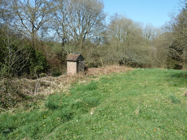
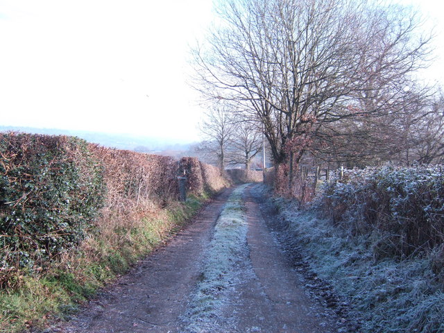
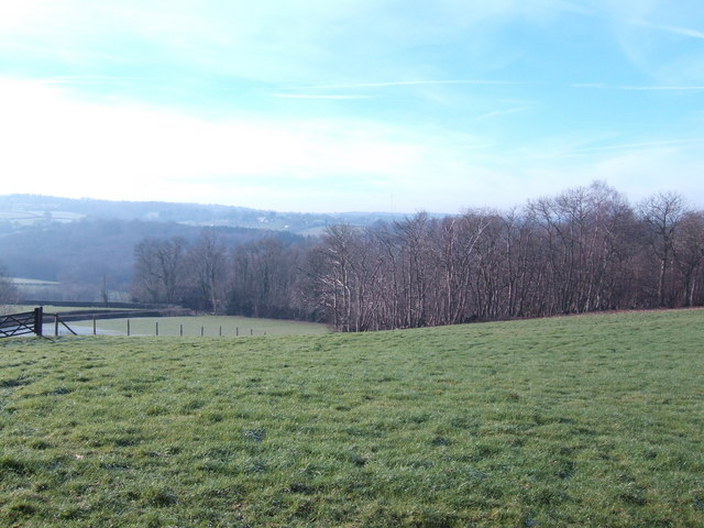
Spring Wood
Wood, Forest in Sussex Wealden
England
Spring Wood
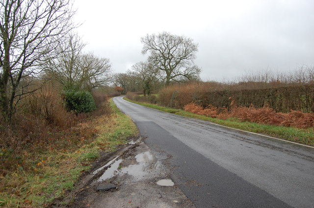
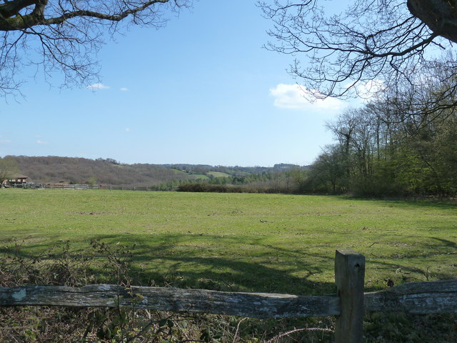
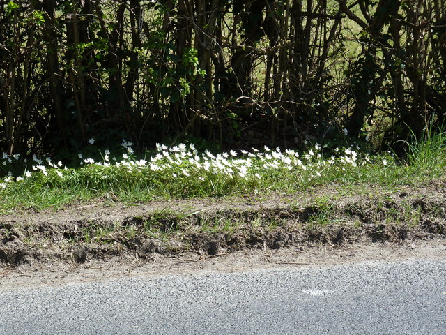
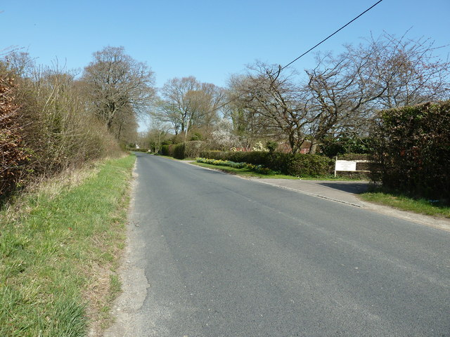
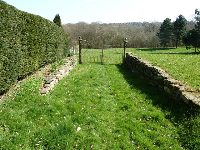
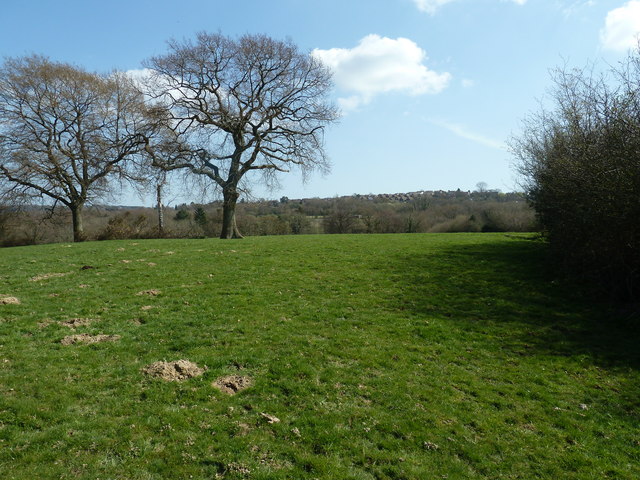
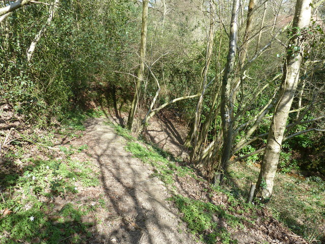
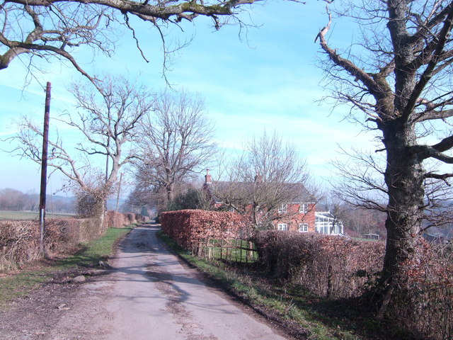
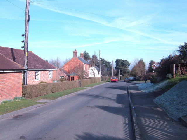
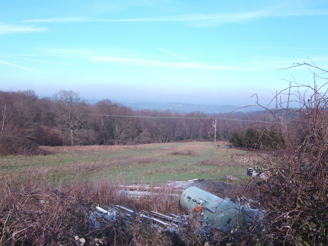
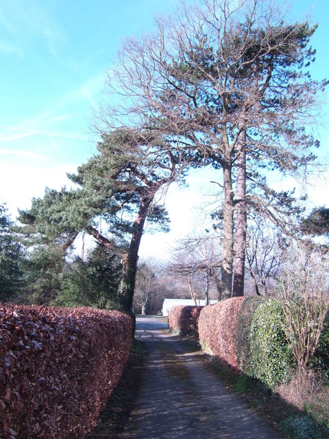
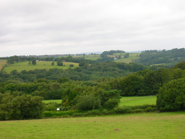
Spring Wood is a picturesque forest located in Sussex, England. Spanning over a vast area, this woodland is known for its abundant natural beauty and diverse ecosystem. The wood is particularly renowned for its vibrant and colorful display of flowers and foliage during the spring season, hence the name "Spring Wood."
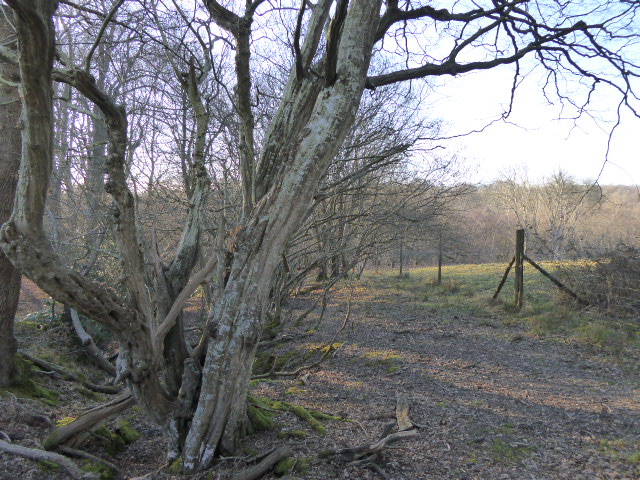
The woodland is home to a wide range of tree species, including oak, beech, birch, and ash, which form a dense canopy that provides shade and shelter for the various creatures that inhabit the area. The forest floor is covered with a rich carpet of mosses, ferns, and wildflowers, creating a lush and enchanting environment.
The wildlife in Spring Wood is equally diverse, with numerous species of birds, mammals, and insects calling it home. Birdwatchers can spot woodpeckers, thrushes, and finches flitting among the tree branches, while mammals such as deer, foxes, and badgers roam the forest floor.
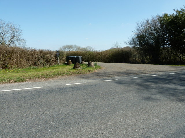
Visitors to Spring Wood can enjoy a variety of activities, including hiking, birdwatching, and photography. There are well-marked trails that wind through the forest, allowing visitors to explore the different sections and discover hidden gems within the wood. In addition, picnic areas are available for those who wish to relax and enjoy the serene surroundings.
Overall, Spring Wood in Sussex is a captivating destination for nature lovers and outdoor enthusiasts alike. Its stunning scenery, diverse flora and fauna, and tranquil atmosphere make it an ideal place to immerse oneself in the beauty of the natural world.
If you have any feedback on the listing, please let us know in the comments section below.
Spring Wood Images
Images are sourced within 2km of 50.98757/0.29673137 or Grid Reference TQ6123. Thanks to Geograph Open Source API. All images are credited.


Spring Wood is located at Grid Ref: TQ6123 (Lat: 50.98757, Lng: 0.29673137)
Administrative County: East Sussex
District: Wealden
Police Authority: Sussex
What 3 Words
///brightly.status.shadowed. Near Heathfield, East Sussex
Nearby Locations
Related Wikis

Paines Cross Meadow
Paines Cross Meadow is a 3.7-hectare (9.1-acre) biological Site of Special Scientific Interest north-east of Heathfield in East Sussex.This site is damp...

Ebenezer Chapel, Heathfield
Ebenezer Chapel is a Strict Baptist place of worship in the hamlet of Broad Oak, part of the parish of Heathfield in the English county of East Sussex...
Bingletts Wood
Bingletts Wood is a 16-hectare (40-acre) biological Site of Special Scientific Interest east of Heathfield in East Sussex.Part of this ancient wood is...

Heathfield Community College
Heathfield Community College is a secondary school near the market town of Heathfield, East Sussex, England. == School Enrollment == The college draws...

Blackdown Mill, Punnetts Town
Blackdown Mill or Cherry Clack Mill is a grade II listed smock mill at Punnetts Town, East Sussex, England, which has been restored. == History == Blackdown...
Heathfield Park SSSI
Heathfield Park SSSI is a 41-hectare (100-acre) biological Site of Special Scientific Interest east of Heathfield in East Sussex. It is part of Heathfield...

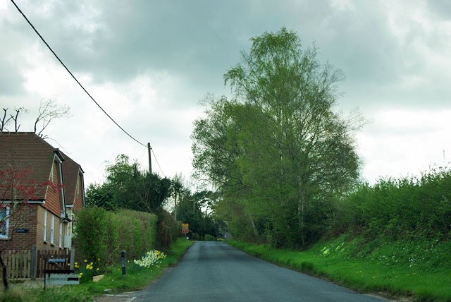
Heathfield, East Sussex
Heathfield is a market town and former civil parish, now in the parish of Heathfield and Waldron, in the Wealden District of East Sussex, England. The...
Heathfield and Waldron
Heathfield and Waldron is a civil parish within the Wealden District of East Sussex, England. Heathfield is surrounded by the High Weald Area of Outstanding...
Nearby Amenities
Located within 500m of 50.98757,0.29673137Have you been to Spring Wood?
Leave your review of Spring Wood below (or comments, questions and feedback).