Devil's Wood
Wood, Forest in Kent Tunbridge Wells
England
Devil's Wood
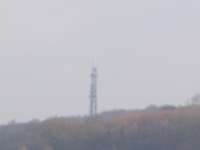
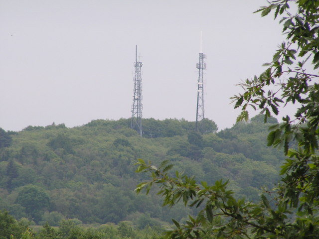
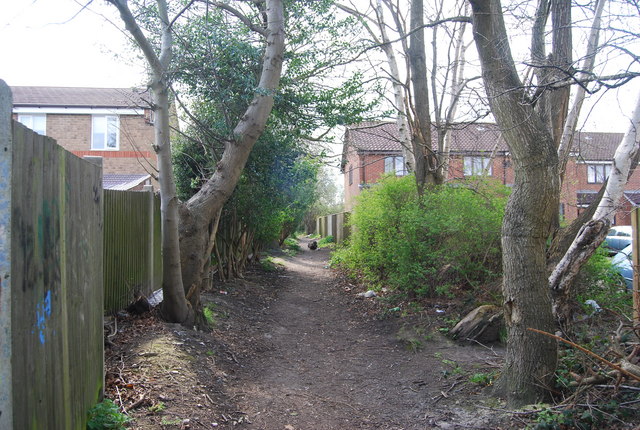
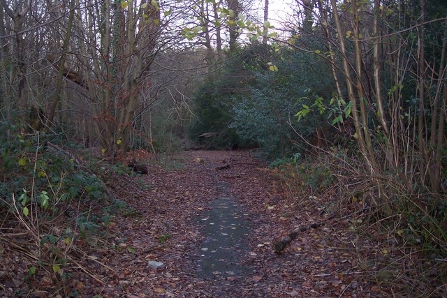
Devil's Wood, located in Kent, England, is a captivating forest that has intrigued locals and visitors alike for centuries. Situated near the village of East Peckham, this wooded area covers a sprawling expanse of approximately 200 acres. The origins of its name remain shrouded in mystery, with various legends and folklore surrounding its eerie reputation.
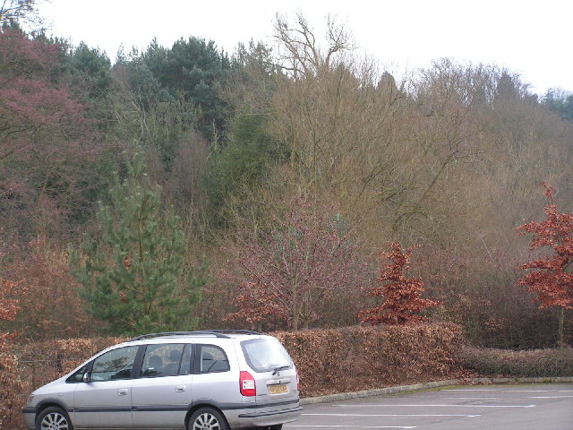
The woodland itself boasts a diverse range of flora and fauna, with towering oak and beech trees dominating the landscape. Dense undergrowth, including ferns, bluebells, and wild garlic, adds to the enchanting atmosphere of the forest. The area is also home to a variety of wildlife, including deer, foxes, and a plethora of bird species, making it a popular destination for nature enthusiasts and birdwatchers.
Devil's Wood is known for its tranquil beauty, offering visitors a chance to escape the hustle and bustle of everyday life and immerse themselves in nature. Nature trails wind through the forest, allowing hikers and walkers to explore its hidden corners and discover its hidden treasures. Occasional clearings provide picturesque spots for picnics or simply enjoying the peaceful surroundings.
However, the wood's enigmatic reputation adds an element of intrigue to its allure. Local legends tell tales of strange occurrences and unexplained phenomena within its boundaries. Some claim to have seen ghostly apparitions or heard eerie sounds emanating from the depths of the forest, fueling rumors of supernatural activity. Whether these stories are products of imagination or rooted in truth, Devil's Wood continues to captivate and mystify those who venture into its depths.
If you have any feedback on the listing, please let us know in the comments section below.
Devil's Wood Images
Images are sourced within 2km of 51.165818/0.28969857 or Grid Reference TQ6043. Thanks to Geograph Open Source API. All images are credited.


Devil's Wood is located at Grid Ref: TQ6043 (Lat: 51.165818, Lng: 0.28969857)
Administrative County: Kent
District: Tunbridge Wells
Police Authority: Kent
What 3 Words
///gazed.chose.plenty. Near Pembury, Kent
Nearby Locations
Related Wikis

Barnett's Wood
Barnett's Wood is a 12.4-hectare (31-acre) Local Nature Reserve in Southborough, on the northern outskirts of Tunbridge Wells in Kent. It is owned by...
Southborough Pit
Southborough Pit is a 1.1-hectare (2.7-acre) geological Site of Special Scientific Interest in Tunbridge Wells in Kent. It is a Geological Conservation...

Southborough, Kent
Southborough is a town and civil parish in the borough of Tunbridge Wells in Kent, England. It lies immediately to the north of the town of Tunbridge...

High Brooms
High Brooms is a suburb of Royal Tunbridge Wells in Kent, England. Its railway station is High Brooms railway station. It is connected by train to London...

Somerhill House
Somerhill House () is a Grade I listed Jacobean mansion situated near Tonbridge, Kent, United Kingdom. It was built for The 4th Earl of Clanricarde in...
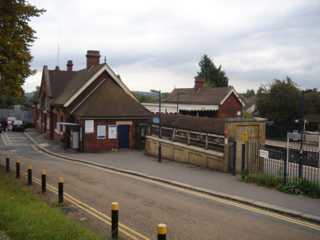
High Brooms railway station
High Brooms railway station is on the Hastings line in the south of England and serves High Brooms and Southborough in the borough of Tunbridge Wells,...
Pembury Cutting and Pit
Pembury Cutting and Pit is a 1.6-hectare (4.0-acre) geological Site of Special Scientific Interest east of Tunbridge Wells in Kent. It is a Geological...
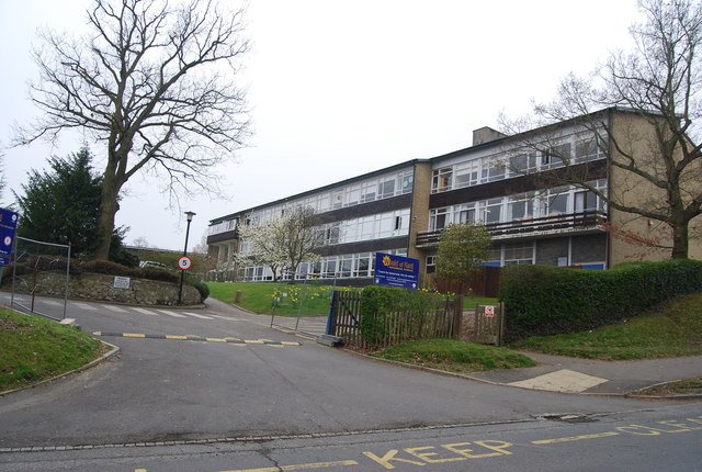
Weald of Kent Grammar School
Weald of Kent Grammar School is a selective or grammar school with academy status in Tonbridge, Kent, England, for girls aged 11–18 and boys aged 16–18...
Nearby Amenities
Located within 500m of 51.165818,0.28969857Have you been to Devil's Wood?
Leave your review of Devil's Wood below (or comments, questions and feedback).