Coneyburrow Wood
Wood, Forest in Sussex Wealden
England
Coneyburrow Wood

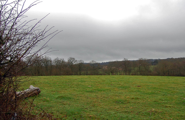
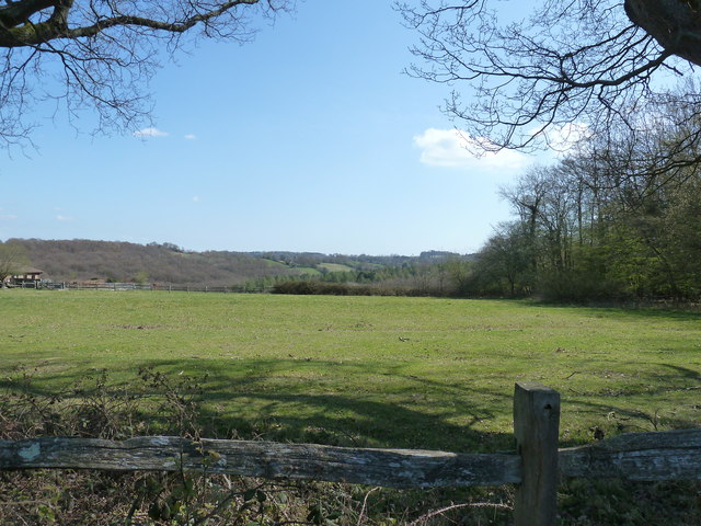
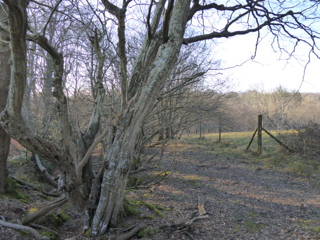
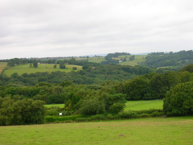
Coneyburrow Wood is a picturesque woodland located in Sussex, England. Situated in the heart of the South Downs National Park, this enchanting forest spans an area of approximately 50 hectares. The wood is made up of a diverse range of trees, including oak, beech, ash, and birch, which create a lush and vibrant canopy that provides shelter and shade to various flora and fauna.
One of the most striking features of Coneyburrow Wood is its rich biodiversity. The forest is home to a plethora of wildlife, including deer, badgers, foxes, and a wide array of bird species. Visitors to the wood may catch a glimpse of these creatures as they wander through the peaceful trails that wind their way through the trees.
The wood offers a haven for nature enthusiasts and outdoor lovers alike. It provides ample opportunities for walking, hiking, and birdwatching, with several well-marked paths that guide visitors through the different sections of the forest. The tranquil atmosphere of the wood makes it an ideal location for those seeking solace and a connection with nature.
Coneyburrow Wood is particularly famous for its springtime display of bluebells. During the months of April and May, the forest floor is carpeted with these vibrant flowers, creating a breathtaking scene that attracts many visitors. This annual spectacle has become a cherished tradition, drawing both locals and tourists to witness nature's beauty at its finest.
Overall, Coneyburrow Wood is a natural treasure in Sussex, providing a sanctuary for wildlife and a serene escape for those seeking a peaceful retreat in the heart of nature.
If you have any feedback on the listing, please let us know in the comments section below.
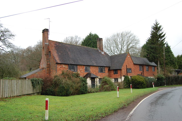
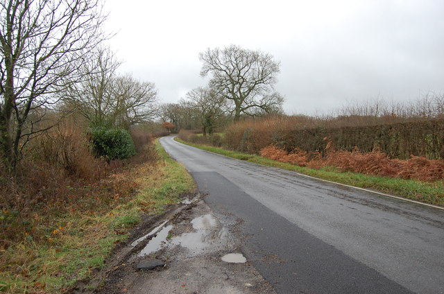
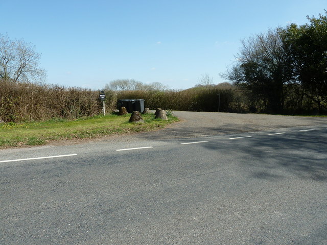
Coneyburrow Wood Images
Images are sourced within 2km of 50.991402/0.28108828 or Grid Reference TQ6023. Thanks to Geograph Open Source API. All images are credited.


Coneyburrow Wood is located at Grid Ref: TQ6023 (Lat: 50.991402, Lng: 0.28108828)
Administrative County: East Sussex
District: Wealden
Police Authority: Sussex
What 3 Words
///loved.spires.surpassed. Near Heathfield, East Sussex
Nearby Locations
Related Wikis

Paines Cross Meadow
Paines Cross Meadow is a 3.7-hectare (9.1-acre) biological Site of Special Scientific Interest north-east of Heathfield in East Sussex.This site is damp...

Ebenezer Chapel, Heathfield
Ebenezer Chapel is a Strict Baptist place of worship in the hamlet of Broad Oak, part of the parish of Heathfield in the English county of East Sussex...

Heathfield Community College
Heathfield Community College is a secondary school near the market town of Heathfield, East Sussex, England. == School Enrollment == The college draws...

Heathfield, East Sussex
Heathfield is a market town and former civil parish, now in the parish of Heathfield and Waldron, in the Wealden District of East Sussex, England. The...
Heathfield and Waldron
Heathfield and Waldron is a civil parish within the Wealden District of East Sussex, England. Heathfield is surrounded by the High Weald Area of Outstanding...
Heathfield Park SSSI
Heathfield Park SSSI is a 41-hectare (100-acre) biological Site of Special Scientific Interest east of Heathfield in East Sussex. It is part of Heathfield...
Heathfield railway station (East Sussex)
Heathfield railway station was on the Cuckoo Line between Horam and Mayfield, serving the market town of Heathfield. It was opened in 1880 by London, Brighton...
Bingletts Wood
Bingletts Wood is a 16-hectare (40-acre) biological Site of Special Scientific Interest east of Heathfield in East Sussex.Part of this ancient wood is...
Nearby Amenities
Located within 500m of 50.991402,0.28108828Have you been to Coneyburrow Wood?
Leave your review of Coneyburrow Wood below (or comments, questions and feedback).