Leys Wood

Wood, Forest in Essex Uttlesford

England

Leys Wood

House at Camps End An attractive old building in brick and wood, by the footpath to Ashdon.
House at Camps End Credit: David Gruar

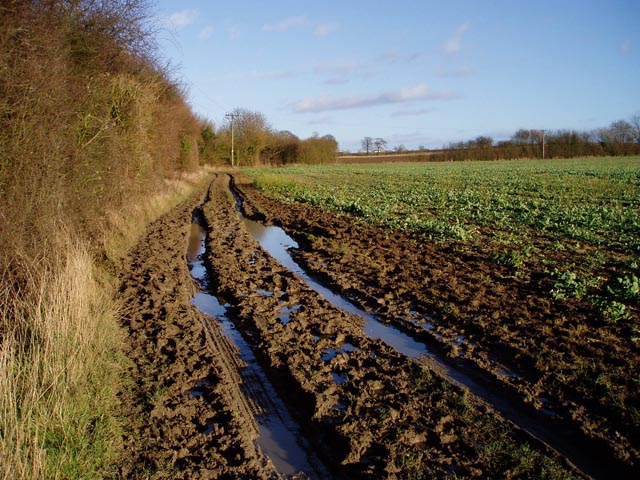
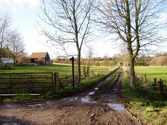
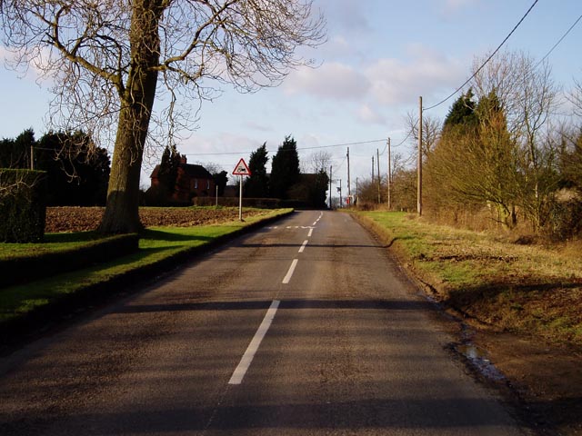
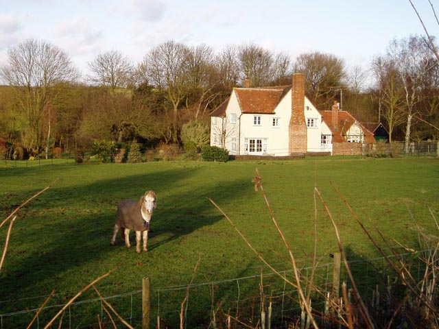
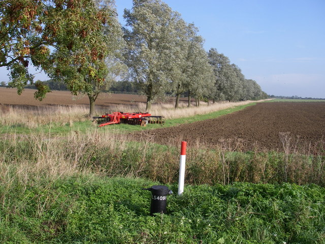
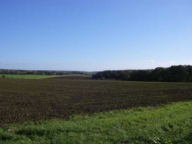
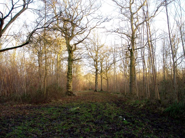
Leys Wood is a picturesque woodland located in Essex, England. Covering an area of approximately 100 acres, it is a popular destination for nature enthusiasts, hikers, and birdwatchers alike. The wood is situated in the northeast of the county, near the village of Coggeshall.

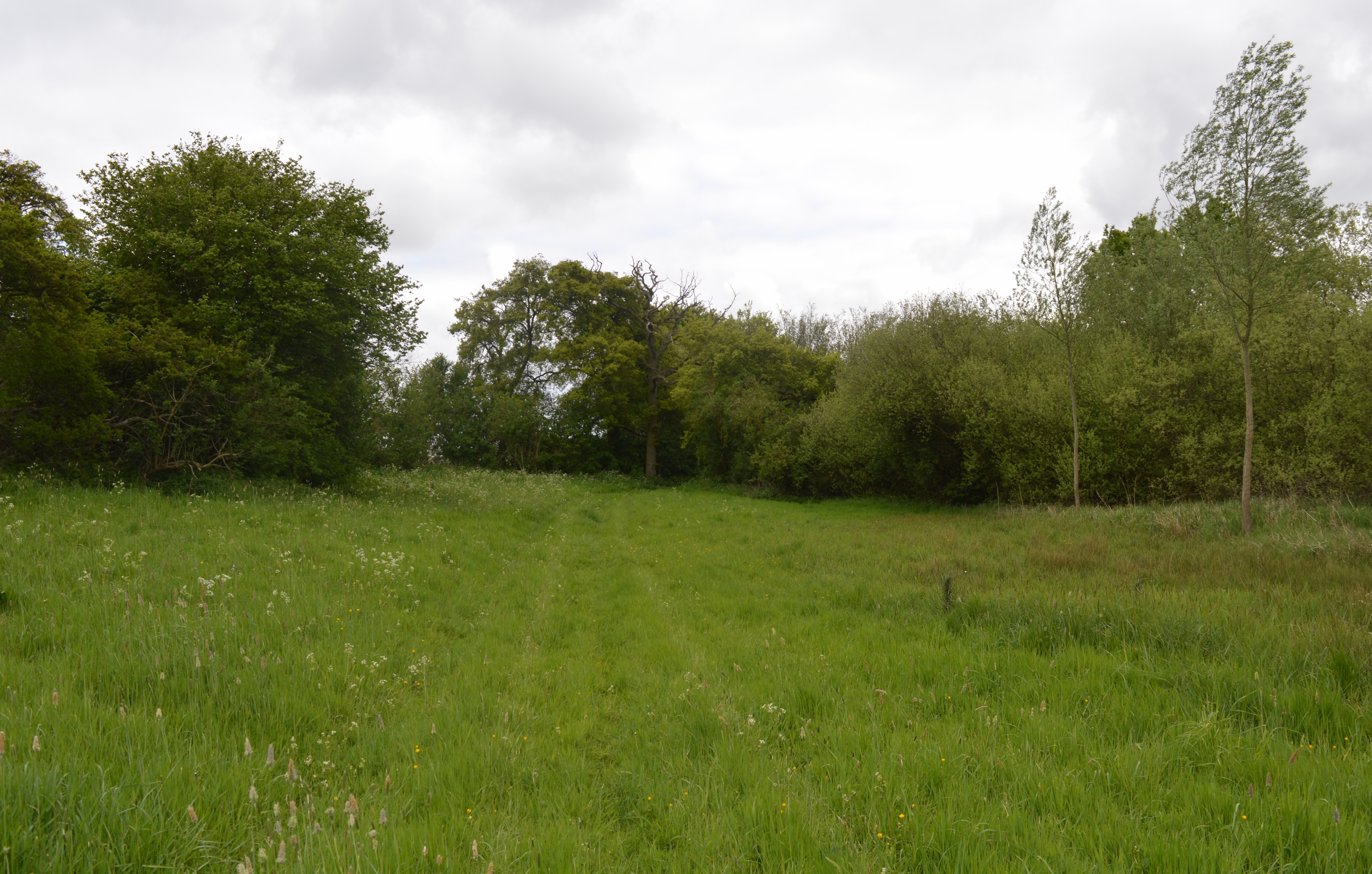
Leys Wood boasts a diverse range of flora and fauna, making it a haven for wildlife. The woodland is mainly composed of deciduous trees, including oak, beech, and birch, which provide a vibrant display of colors throughout the seasons. The forest floor is carpeted with a variety of wildflowers, such as bluebells and primroses, adding to the natural beauty of the area.

With well-maintained walking trails, visitors can explore the wood at their own pace. The paths wind through the trees, offering peaceful and serene surroundings. There are also designated areas for picnics and benches for those looking to relax and soak in the tranquility of the woodland.

Leys Wood is home to a wide range of bird species, including woodpeckers, thrushes, and warblers. Birdwatchers can often spot these feathered creatures while following the marked trails or from one of the strategically placed bird hides.

Managed by the local conservation trust, Leys Wood is committed to preserving its natural habitat and promoting biodiversity. The wood provides a valuable ecosystem for a variety of wildlife and offers a beautiful setting for visitors to enjoy the wonders of nature.

If you have any feedback on the listing, please let us know in the comments section below.

Leys Wood Images

Images are sourced within 2km of 52.044141/0.32589821 or Grid Reference TL5940. Thanks to Geograph Open Source API. All images are credited.

House at Camps End An attractive old building in brick and wood, by the footpath to Ashdon.
House at Camps End
An attractive old building in brick and wood, by the footpath to Ashdon.
Collection of old agricultural machinery An interesting arrangement in a field at Camps End.
Collection of old agricultural machinery
An interesting arrangement in a field at Camps End.
Muddy track near Sandons Farm The soil round here has a very high clay content - it forms puddles easily and sticks to boots most uncomfortably.
Muddy track near Sandons Farm
The soil round here has a very high clay content - it forms puddles easily and sticks to boots most uncomfortably.
Langley Wood An interior view of this deciduous wood of around 100 acres.
Langley Wood
An interior view of this deciduous wood of around 100 acres.
Ankle deep plus. A boot was nearly sucked off here.
Ankle deep plus.
A boot was nearly sucked off here.
Leave the road here for Great Bendysh Wood. Footpath sign absent.  Many signs missing in this area.  Many of the paths are ploughed up so try and stay oriented and allow extra time.
Leave the road here for Great Bendysh Wood.
Footpath sign absent. Many signs missing in this area. Many of the paths are ploughed up so try and stay oriented and allow extra time.
2 sets of crossroads
Broadysh Farm Eggs and potatoes for sale.
Broadysh Farm
Eggs and potatoes for sale.
All Saints' Church, Ashdon Ashdon church is up the hill from the main village, part of the small settlement of Church End.
All Saints' Church, Ashdon
Ashdon church is up the hill from the main village, part of the small settlement of Church End.
Footpath from Church End to Water End, Ashdon A raised strip of land between two fields. Church End is in the background.
Footpath from Church End to Water End, Ashdon
A raised strip of land between two fields. Church End is in the background.
Path junction by Burnt House, Water End, Ashdon Burnt House is a name, not a description! The track straight ahead leads over to Church End (see also <a href="https://www.geograph.org.uk/photo/108668">TL5841 : Footpath from Church End to Water End, Ashdon</a>).
Path junction by Burnt House, Water End, Ashdon
Burnt House is a name, not a description! The track straight ahead leads over to Church End (see also TL5841 : Footpath from Church End to Water End, Ashdon).
Midsummer Hill, Goldstones The sign is right - this is real tractor country. Evidence of their work can be seen on the left.
Midsummer Hill, Goldstones
The sign is right - this is real tractor country. Evidence of their work can be seen on the left.
Horse at Sandons Farm, Ashdon This horse seemed quite used to posing for the camera - it looked at me all the while I was composing the shot, and got back to its grazing as soon as I'd taken it!
Horse at Sandons Farm, Ashdon
This horse seemed quite used to posing for the camera - it looked at me all the while I was composing the shot, and got back to its grazing as soon as I'd taken it!
Ashdon Windmill Built in 1757 and restored in 2001 by the Ashdon Windmill Trust.
Ashdon Windmill
Built in 1757 and restored in 2001 by the Ashdon Windmill Trust.
Ashdon village centre This is the small nuclear village at the centre of Ashdon parish, which contains several other satellite settlements and farms. The Rose and Crown pub is behind the photographer.
Ashdon village centre
This is the small nuclear village at the centre of Ashdon parish, which contains several other satellite settlements and farms. The Rose and Crown pub is behind the photographer.
Arable landscape - Ashdon A typical view of the land use in this Km square, arable with cricket bat willow along the ditch (the grid ref on the dip well in the foreground doesn't seem to tally!).
Arable landscape - Ashdon
A typical view of the land use in this Km square, arable with cricket bat willow along the ditch (the grid ref on the dip well in the foreground doesn't seem to tally!).
Little Hales wood and fields - Ashdon The chalky boulder clay results in this typical mosaic of fields and woods.
Little Hales wood and fields - Ashdon
The chalky boulder clay results in this typical mosaic of fields and woods.
Farmhouse at Ashdon Place This is a fine example of a beautiful timber-framed house that probably dates back to the early 15th century.
Farmhouse at Ashdon Place
This is a fine example of a beautiful timber-framed house that probably dates back to the early 15th century.
Show me another place!

Leys Wood is located at Grid Ref: TL5940 (Lat: 52.044141, Lng: 0.32589821)

Administrative County: Essex

District: Uttlesford

Police Authority: Essex

What 3 Words

///stint.toolkit.asset. Near Saffron Walden, Essex

Related Wikis

Ashdon Meadows

Ashdon Meadows is a 1.5-hectare (3.7-acre) biological Site of Special Scientific Interest south of Ashdon in Essex.The site is unimproved grassland which...

Bragg's Mill, Ashdon

Bragg's Mill, William Bragg's Mill, Bartlow Hamlet Mill or Stevington End Mill is a grade II listed post mill at Ashdon, Essex, England which has been...

Ashdon

Ashdon, is a village and civil parish in Essex, England. It is about 4 miles (6 km) northeast of Saffron Walden and 23 miles (37 km) northwest from the...

Langley Wood, Cambridgeshire

Langley Wood is a 31.6-hectare (78-acre) biological Site of Special Scientific Interest in Cambridgeshire, but lying between Saffron Walden in Essex and...

Ashdon Halt railway station

Ashdon Halt was a railway station on the Saffron Walden Railway. It opened 14 August 1911 and closed 7 September 1964. The halt was approximately 46 miles...

Hales and Shadwell Woods

Hales and Shadwell Woods is a 15.4-hectare (38-acre) biological Site of Special Scientific Interest north-east of Saffron Walden in Essex. Shadwell Wood...

Shudy Camps

Shudy Camps is a village in the south-east corner of Cambridgeshire, England, near the border of Essex and Suffolk, and is part of the Chilford Hundred...

Castle Camps

Castle Camps was a Norman Castle located in what is now the civil parish of Castle Camps, Cambridgeshire. == Owners == Castle Camps was originally a Saxon...

Related Videos

Hideout Leather. What goes into making motorcycle clothing?

Kate at Hideout Leather was kind enough to allow me to make this video. I found it fascinating what goes into the manufacturing of ...

Nearby Amenities

Located within 500m of 52.044141,0.32589821
Post Box
Operator: Royal Mail
Post Box Type: lamp
Ref: CB10 21
Royal Cypher: EIIR
Lat/Long: 52.0446139/0.319271
Access: private
Leisure: swimming_pool
Lit: no
Location: outdoor
Lat/Long: 52.0455304/0.3191765
The data included in this document is from www.openstreetmap.org. The data is made available under ODbL.

Have you been to Leys Wood?

Leave your review of Leys Wood below (or comments, questions and feedback).