Jubilee Wood

Wood, Forest in Essex Uttlesford

England

Jubilee Wood

Muddy track near Sandons Farm The soil round here has a very high clay content - it forms puddles easily and sticks to boots most uncomfortably.
Muddy track near Sandons Farm Credit: David Gruar

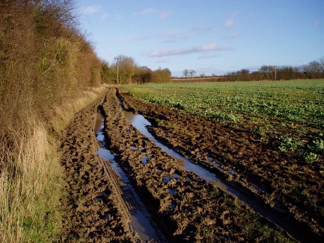
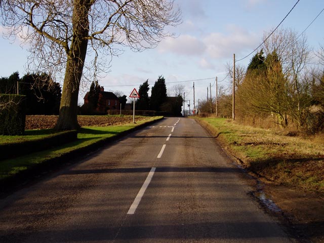
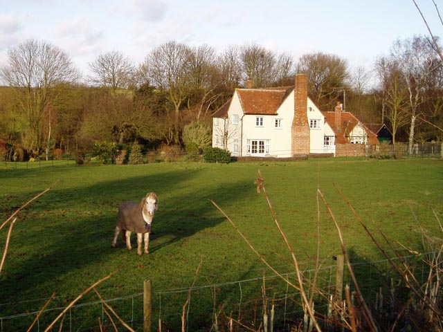
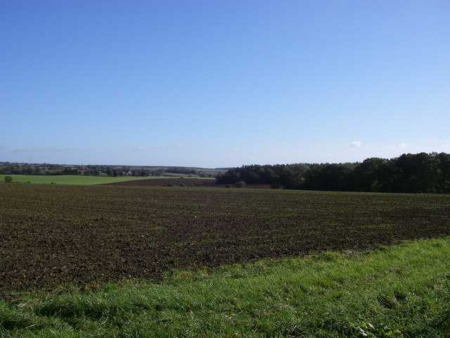
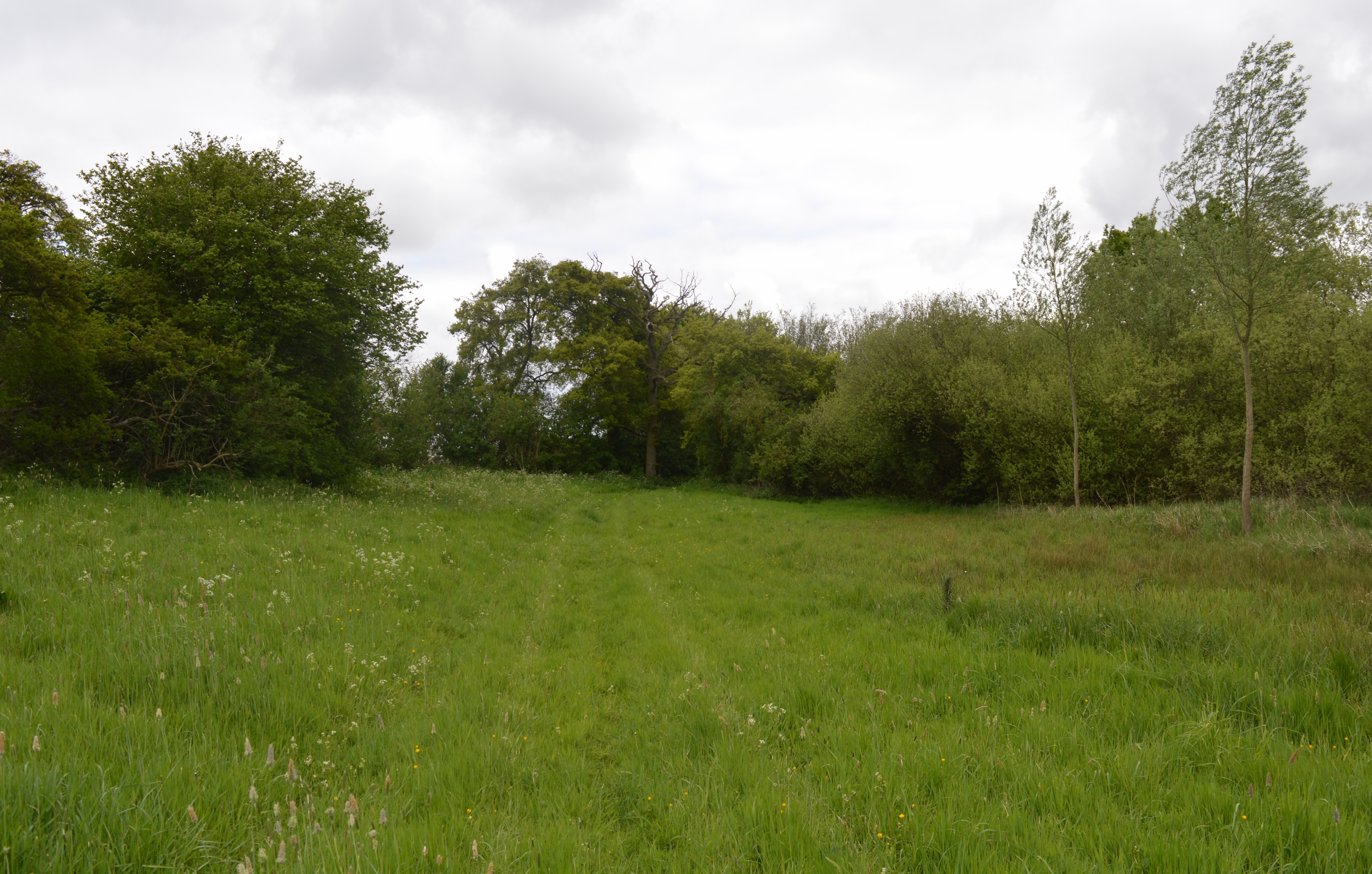
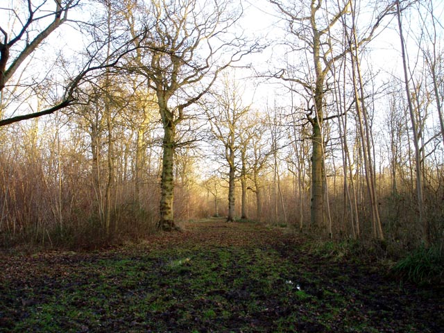
Jubilee Wood, located in Essex, is a picturesque woodland area known for its natural beauty and rich biodiversity. Covering an area of approximately 20 acres, the wood is a popular destination for nature lovers and outdoor enthusiasts.

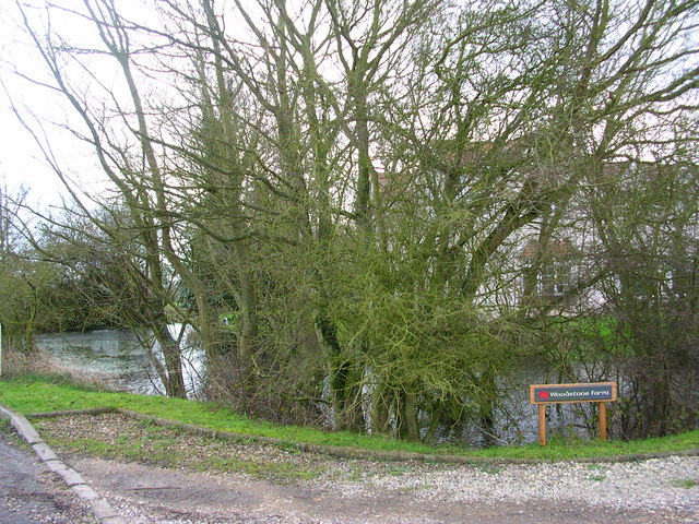
The woodland is characterized by a diverse range of tree species, including oak, birch, ash, and beech. These trees provide a lush canopy that creates a peaceful and tranquil atmosphere, making it an ideal place for a leisurely walk or a family picnic. The forest floor is blanketed with a variety of wildflowers, adding vibrant colors to the landscape.

Jubilee Wood is home to a wide array of wildlife, making it an important habitat for many species. Visitors may spot mammals such as deer, foxes, and badgers, as well as a variety of birds including woodpeckers, owls, and songbirds. The wood also provides a safe nesting ground for many small mammals and insects.

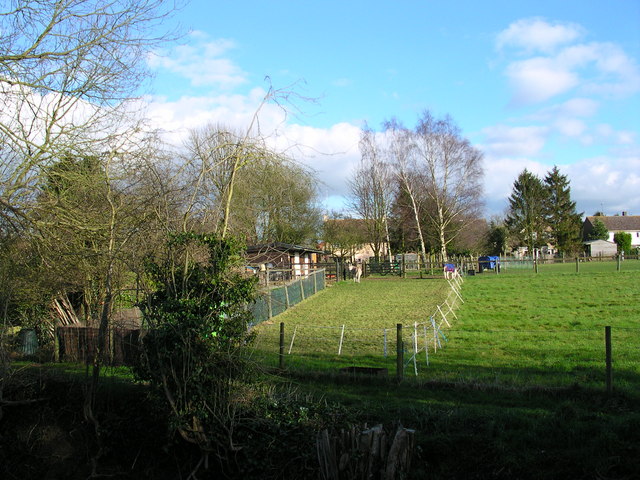
The wood is well-maintained, with designated footpaths and trails that allow visitors to explore the area easily. Interpretive signs and information boards are strategically placed throughout the wood, providing educational insights into the local flora and fauna. Additionally, the wood offers facilities such as seating areas, picnic spots, and even a small children's play area.

Jubilee Wood is open to the public year-round, and admission is free. It is easily accessible by car, with ample parking available nearby. Whether one seeks a peaceful retreat, a chance to connect with nature, or an opportunity for wildlife observation, Jubilee Wood offers a truly enriching experience for all who visit.

If you have any feedback on the listing, please let us know in the comments section below.

Jubilee Wood Images

Images are sourced within 2km of 52.039017/0.31806426 or Grid Reference TL5940. Thanks to Geograph Open Source API. All images are credited.

Muddy track near Sandons Farm The soil round here has a very high clay content - it forms puddles easily and sticks to boots most uncomfortably.
Muddy track near Sandons Farm
The soil round here has a very high clay content - it forms puddles easily and sticks to boots most uncomfortably.
Leave the road here for Great Bendysh Wood. Footpath sign absent.  Many signs missing in this area.  Many of the paths are ploughed up so try and stay oriented and allow extra time.
Leave the road here for Great Bendysh Wood.
Footpath sign absent. Many signs missing in this area. Many of the paths are ploughed up so try and stay oriented and allow extra time.
Broadysh Farm Eggs and potatoes for sale.
Broadysh Farm
Eggs and potatoes for sale.
All Saints' Church, Ashdon Ashdon church is up the hill from the main village, part of the small settlement of Church End.
All Saints' Church, Ashdon
Ashdon church is up the hill from the main village, part of the small settlement of Church End.
Footpath from Church End to Water End, Ashdon A raised strip of land between two fields. Church End is in the background.
Footpath from Church End to Water End, Ashdon
A raised strip of land between two fields. Church End is in the background.
Path junction by Burnt House, Water End, Ashdon Burnt House is a name, not a description! The track straight ahead leads over to Church End (see also <a href="https://www.geograph.org.uk/photo/108668">TL5841 : Footpath from Church End to Water End, Ashdon</a>).
Path junction by Burnt House, Water End, Ashdon
Burnt House is a name, not a description! The track straight ahead leads over to Church End (see also TL5841 : Footpath from Church End to Water End, Ashdon).
Midsummer Hill, Goldstones The sign is right - this is real tractor country. Evidence of their work can be seen on the left.
Midsummer Hill, Goldstones
The sign is right - this is real tractor country. Evidence of their work can be seen on the left.
Horse at Sandons Farm, Ashdon This horse seemed quite used to posing for the camera - it looked at me all the while I was composing the shot, and got back to its grazing as soon as I'd taken it!
Horse at Sandons Farm, Ashdon
This horse seemed quite used to posing for the camera - it looked at me all the while I was composing the shot, and got back to its grazing as soon as I'd taken it!
Ashdon village centre This is the small nuclear village at the centre of Ashdon parish, which contains several other satellite settlements and farms. The Rose and Crown pub is behind the photographer.
Ashdon village centre
This is the small nuclear village at the centre of Ashdon parish, which contains several other satellite settlements and farms. The Rose and Crown pub is behind the photographer.
Arable landscape - Ashdon A typical view of the land use in this Km square, arable with cricket bat willow along the ditch (the grid ref on the dip well in the foreground doesn't seem to tally!).
Arable landscape - Ashdon
A typical view of the land use in this Km square, arable with cricket bat willow along the ditch (the grid ref on the dip well in the foreground doesn't seem to tally!).
Little Hales wood and fields - Ashdon The chalky boulder clay results in this typical mosaic of fields and woods.
Little Hales wood and fields - Ashdon
The chalky boulder clay results in this typical mosaic of fields and woods.
Behind the woods is Woodstone Farm
Ashdon Farm Red Rose Barn.
2 cute donkeys Pets who provide fertilizer.
2 cute donkeys
Pets who provide fertilizer.
Houses on the descent into Ashdon A well-earned rest for cyclists like this one who have climbed the hill from Saffron Walden. Haverhill TV mast is visible on the horizon.
Houses on the descent into Ashdon
A well-earned rest for cyclists like this one who have climbed the hill from Saffron Walden. Haverhill TV mast is visible on the horizon.
All Saints Ashdon from the north
Ashdon Village Museum Run by enthusiasts in the village, sparked off by the discovery of a large amount of Civil War artifacts in the area.
Ashdon Village Museum
Run by enthusiasts in the village, sparked off by the discovery of a large amount of Civil War artifacts in the area.
Derelict petrol station Surprisingly, given the antiquated equipment, this was in operation until a year or two ago.
Derelict petrol station
Surprisingly, given the antiquated equipment, this was in operation until a year or two ago.
Show me another place!

Jubilee Wood is located at Grid Ref: TL5940 (Lat: 52.039017, Lng: 0.31806426)

Administrative County: Essex

District: Uttlesford

Police Authority: Essex

What 3 Words

///piled.yield.hubcaps. Near Saffron Walden, Essex

Related Wikis

Ashdon Meadows

Ashdon Meadows is a 1.5-hectare (3.7-acre) biological Site of Special Scientific Interest south of Ashdon in Essex.The site is unimproved grassland which...

Ashdon

Ashdon, is a village and civil parish in Essex, England. It is about 4 miles (6 km) northeast of Saffron Walden and 23 miles (37 km) northwest from the...

Hales and Shadwell Woods

Hales and Shadwell Woods is a 15.4-hectare (38-acre) biological Site of Special Scientific Interest north-east of Saffron Walden in Essex. Shadwell Wood...

Ashdon Halt railway station

Ashdon Halt was a railway station on the Saffron Walden Railway. It opened 14 August 1911 and closed 7 September 1964. The halt was approximately 46 miles...

Bragg's Mill, Ashdon

Bragg's Mill, William Bragg's Mill, Bartlow Hamlet Mill or Stevington End Mill is a grade II listed post mill at Ashdon, Essex, England which has been...

Langley Wood, Cambridgeshire

Langley Wood is a 31.6-hectare (78-acre) biological Site of Special Scientific Interest in Cambridgeshire, but lying between Saffron Walden in Essex and...

Sewards End

Sewards End is a village and civil parish in the Uttlesford district of Essex, England. Its area is 1211 acres. It is set in the rolling countryside...

Radwinter

Radwinter is a village and a civil parish on the B1053 road, in the Uttlesford district of the county of Essex, England. The population in the 2011 census...

Nearby Amenities

Located within 500m of 52.039017,0.31806426
Water End
Is In: Essex
Place: hamlet
Lat/Long: 52.0419721/0.3136844
Access: private
Fishing: private
Leisure: fishing
Lat/Long: 52.0407915/0.3204683
Access: private
Leisure: pitch
Sport: tennis
Lat/Long: 52.0406314/0.3134997
Access: private
Leisure: swimming_pool
Location: outdoor
Lat/Long: 52.0407881/0.3139779
The data included in this document is from www.openstreetmap.org. The data is made available under ODbL.

Have you been to Jubilee Wood?

Leave your review of Jubilee Wood below (or comments, questions and feedback).