Cros Wood

Wood, Forest in Essex Uttlesford

England

Cros Wood

Muddy track near Sandons Farm The soil round here has a very high clay content - it forms puddles easily and sticks to boots most uncomfortably.
Muddy track near Sandons Farm Credit: David Gruar

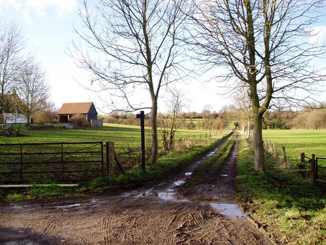
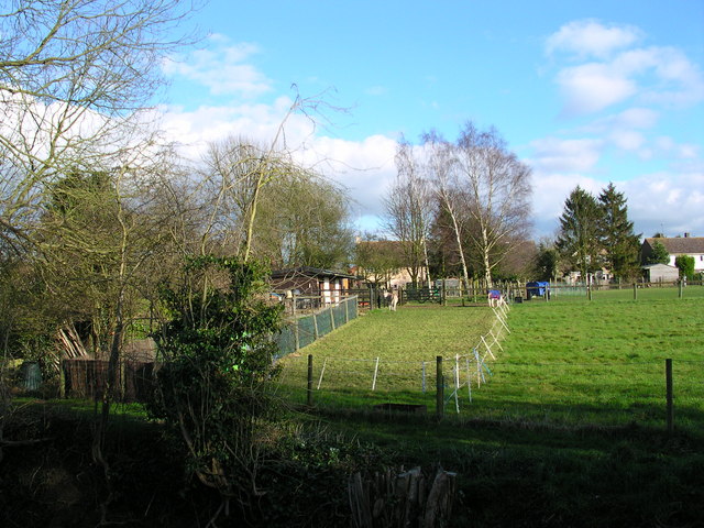
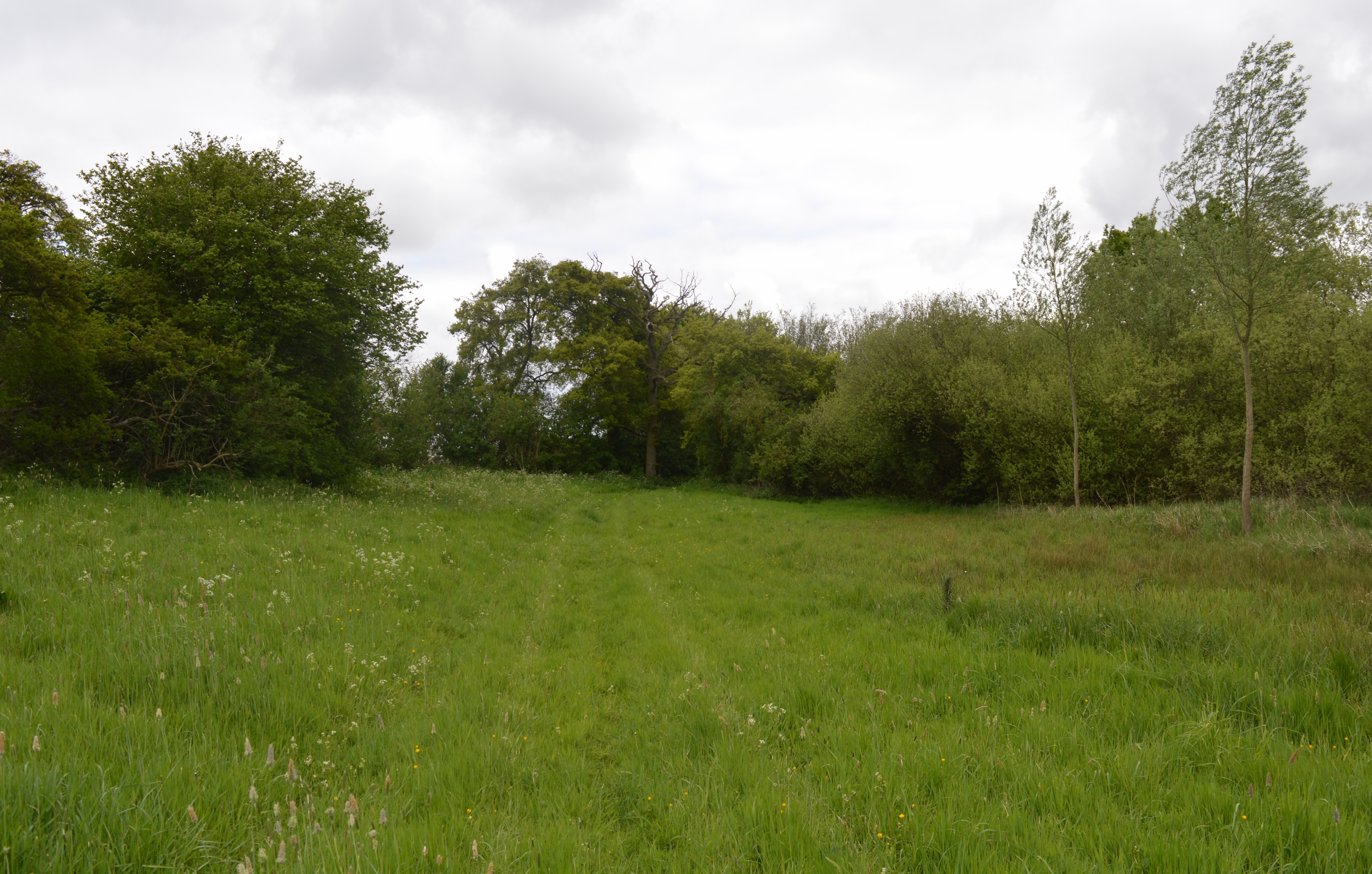
Cros Wood, located in Essex, England, is a picturesque forest that offers a tranquil and scenic escape from the hustle and bustle of urban life. Covering an area of approximately 800 acres, this ancient woodland is a haven for nature lovers and outdoor enthusiasts alike.

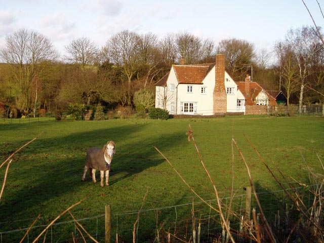
The wood is predominantly composed of oak and hornbeam trees, which create a dense and lush canopy overhead. These trees, some of which are several hundred years old, provide a habitat for a diverse range of flora and fauna. Bluebells carpet the forest floor in spring, creating a breathtakingly beautiful sight.

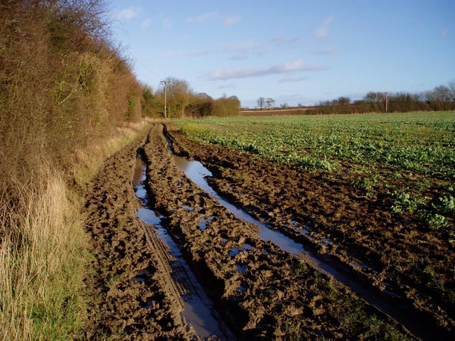
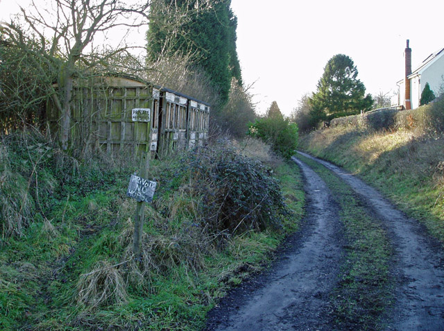
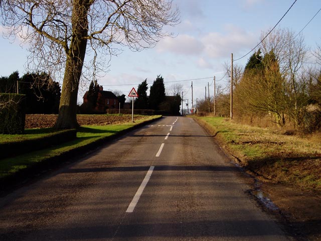
Cros Wood is crisscrossed by a network of well-maintained footpaths and trails, making it easily accessible for walkers, hikers, and cyclists. These paths wind their way through the forest, leading visitors past babbling brooks, tranquil ponds, and hidden groves. The wood also boasts a variety of designated picnic areas, allowing visitors to relax and enjoy their surroundings.

Wildlife is abundant in Cros Wood, with sightings of deer, foxes, badgers, and squirrels being common. The forest is also a paradise for birdwatchers, with a wide array of bird species, including woodpeckers, owls, and various songbirds, making their home in the trees.

In addition to its natural beauty, Cros Wood is steeped in history. The wood has been in existence for centuries and has served as a vital resource for local communities throughout its history. The remnants of old charcoal platforms and saw pits can still be seen today, providing a glimpse into the area's past.

Overall, Cros Wood is a captivating natural treasure, offering visitors a chance to connect with nature, explore its rich history, and experience the tranquility of the Essex countryside.

If you have any feedback on the listing, please let us know in the comments section below.

Cros Wood Images

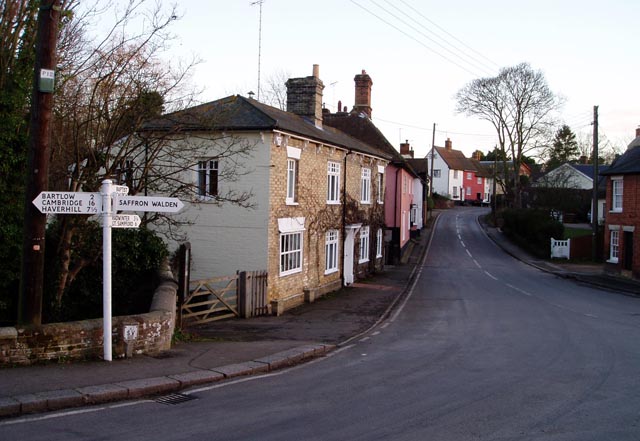
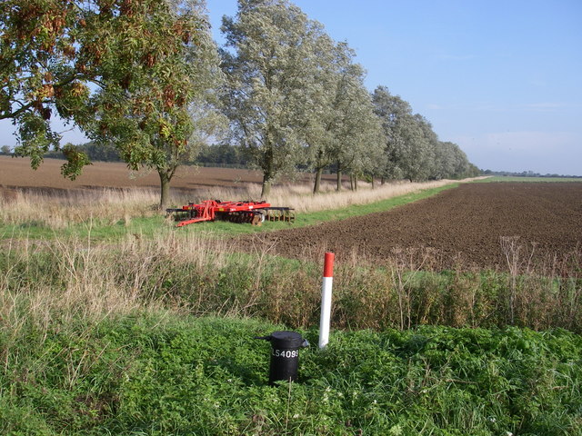
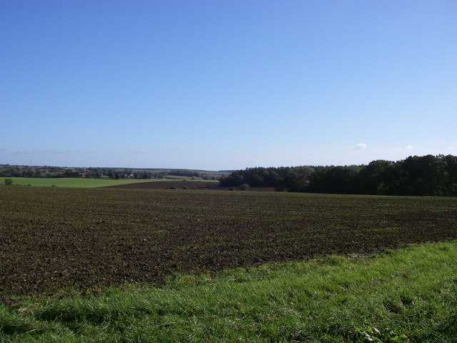
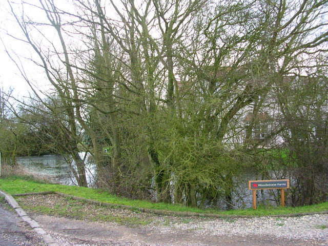
Images are sourced within 2km of 52.042635/0.31973894 or Grid Reference TL5940. Thanks to Geograph Open Source API. All images are credited.

Muddy track near Sandons Farm The soil round here has a very high clay content - it forms puddles easily and sticks to boots most uncomfortably.
Muddy track near Sandons Farm
The soil round here has a very high clay content - it forms puddles easily and sticks to boots most uncomfortably.
Leave the road here for Great Bendysh Wood. Footpath sign absent.  Many signs missing in this area.  Many of the paths are ploughed up so try and stay oriented and allow extra time.
Leave the road here for Great Bendysh Wood.
Footpath sign absent. Many signs missing in this area. Many of the paths are ploughed up so try and stay oriented and allow extra time.
Broadysh Farm Eggs and potatoes for sale.
Broadysh Farm
Eggs and potatoes for sale.
Derelict station platform, Ashdon Marked as 'halt' on the 1940s map, this was a platform on the Audley End to Bartlow line. Just here there's no other evidence on the ground that it ever existed.
Derelict station platform, Ashdon
Marked as 'halt' on the 1940s map, this was a platform on the Audley End to Bartlow line. Just here there's no other evidence on the ground that it ever existed.
All Saints' Church, Ashdon Ashdon church is up the hill from the main village, part of the small settlement of Church End.
All Saints' Church, Ashdon
Ashdon church is up the hill from the main village, part of the small settlement of Church End.
Footpath from Church End to Water End, Ashdon A raised strip of land between two fields. Church End is in the background.
Footpath from Church End to Water End, Ashdon
A raised strip of land between two fields. Church End is in the background.
Path junction by Burnt House, Water End, Ashdon Burnt House is a name, not a description! The track straight ahead leads over to Church End (see also <a href="https://www.geograph.org.uk/photo/108668">TL5841 : Footpath from Church End to Water End, Ashdon</a>).
Path junction by Burnt House, Water End, Ashdon
Burnt House is a name, not a description! The track straight ahead leads over to Church End (see also TL5841 : Footpath from Church End to Water End, Ashdon).
Midsummer Hill, Goldstones The sign is right - this is real tractor country. Evidence of their work can be seen on the left.
Midsummer Hill, Goldstones
The sign is right - this is real tractor country. Evidence of their work can be seen on the left.
Horse at Sandons Farm, Ashdon This horse seemed quite used to posing for the camera - it looked at me all the while I was composing the shot, and got back to its grazing as soon as I'd taken it!
Horse at Sandons Farm, Ashdon
This horse seemed quite used to posing for the camera - it looked at me all the while I was composing the shot, and got back to its grazing as soon as I'd taken it!
Ashdon Windmill Built in 1757 and restored in 2001 by the Ashdon Windmill Trust.
Ashdon Windmill
Built in 1757 and restored in 2001 by the Ashdon Windmill Trust.
Ashdon village centre This is the small nuclear village at the centre of Ashdon parish, which contains several other satellite settlements and farms. The Rose and Crown pub is behind the photographer.
Ashdon village centre
This is the small nuclear village at the centre of Ashdon parish, which contains several other satellite settlements and farms. The Rose and Crown pub is behind the photographer.
Arable landscape - Ashdon A typical view of the land use in this Km square, arable with cricket bat willow along the ditch (the grid ref on the dip well in the foreground doesn't seem to tally!).
Arable landscape - Ashdon
A typical view of the land use in this Km square, arable with cricket bat willow along the ditch (the grid ref on the dip well in the foreground doesn't seem to tally!).
Little Hales wood and fields - Ashdon The chalky boulder clay results in this typical mosaic of fields and woods.
Little Hales wood and fields - Ashdon
The chalky boulder clay results in this typical mosaic of fields and woods.
Behind the woods is Woodstone Farm
Ashdon Farm Red Rose Barn.
2 cute donkeys Pets who provide fertilizer.
2 cute donkeys
Pets who provide fertilizer.
Houses on the descent into Ashdon A well-earned rest for cyclists like this one who have climbed the hill from Saffron Walden. Haverhill TV mast is visible on the horizon.
Houses on the descent into Ashdon
A well-earned rest for cyclists like this one who have climbed the hill from Saffron Walden. Haverhill TV mast is visible on the horizon.
All Saints Ashdon from the north
Show me another place!

Cros Wood is located at Grid Ref: TL5940 (Lat: 52.042635, Lng: 0.31973894)

Administrative County: Essex

District: Uttlesford

Police Authority: Essex

What 3 Words

///eradicate.pursue.squabbles. Near Saffron Walden, Essex

Related Wikis

Ashdon Meadows

Ashdon Meadows is a 1.5-hectare (3.7-acre) biological Site of Special Scientific Interest south of Ashdon in Essex. The site is unimproved grassland which...

Ashdon

Ashdon, is a village and civil parish in Essex, England. It is about 4 miles (6 km) northeast of Saffron Walden and 23 miles (37 km) northwest from the...

Bragg's Mill, Ashdon

Bragg's Mill, William Bragg's Mill, Bartlow Hamlet Mill or Stevington End Mill is a grade II listed post mill at Ashdon, Essex, England which has been...

Ashdon Halt railway station

Ashdon Halt was a railway station on the Saffron Walden Railway. It opened 14 August 1911 and closed 7 September 1964. The halt was approximately 46 miles...

Nearby Amenities

Located within 500m of 52.042635,0.31973894
Water End
Is In: Essex
Place: hamlet
Lat/Long: 52.0419721/0.3136844
Post Box
Operator: Royal Mail
Post Box Type: lamp
Ref: CB10 21
Royal Cypher: EIIR
Lat/Long: 52.0446139/0.319271
Access: private
Leisure: swimming_pool
Lit: no
Location: outdoor
Lat/Long: 52.0455304/0.3191765
Access: private
Fishing: private
Leisure: fishing
Lat/Long: 52.0407915/0.3204683
Access: private
Leisure: pitch
Sport: tennis
Lat/Long: 52.0406314/0.3134997
Access: private
Leisure: swimming_pool
Location: outdoor
Lat/Long: 52.0407881/0.3139779
The data included in this document is from www.openstreetmap.org. The data is made available under ODbL.

Have you been to Cros Wood?

Leave your review of Cros Wood below (or comments, questions and feedback).