Alder Shaw
Wood, Forest in Sussex Wealden
England
Alder Shaw
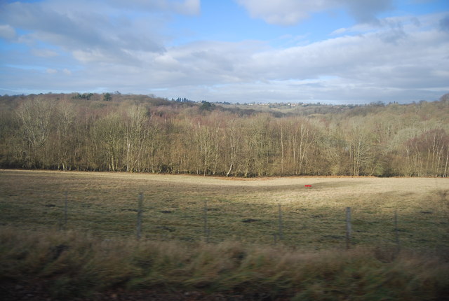
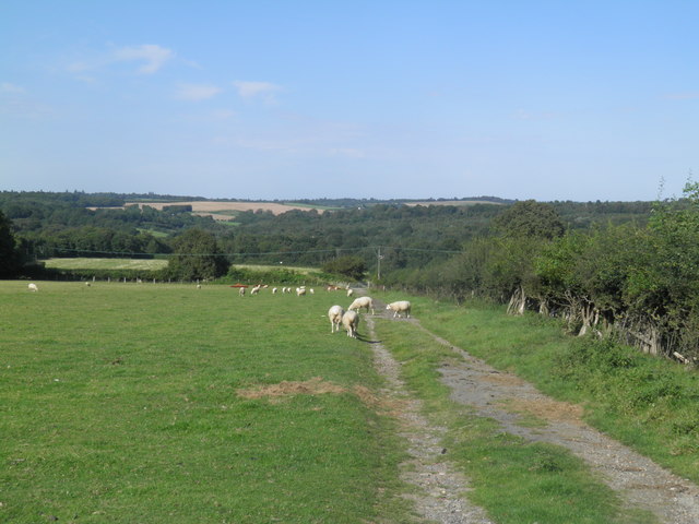
Alder Shaw, located in Sussex, England, is a captivating wood known for its dense forest and lush greenery. Spread across an area of several hectares, this enchanting woodland is a haven for nature lovers and outdoor enthusiasts alike.
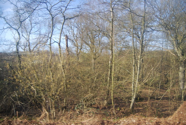
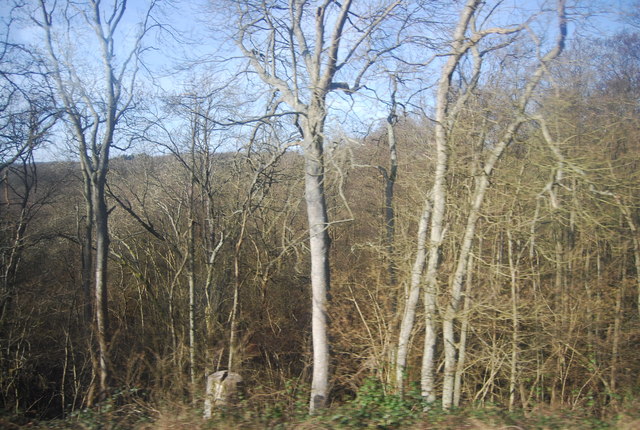
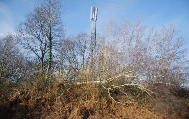
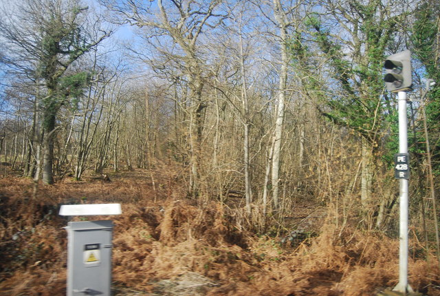
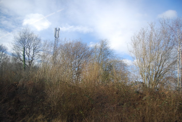
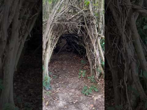
The forest is predominantly composed of alder trees, which give the wood its name. These tall, slender trees create a unique atmosphere, casting a shadowy canopy over the forest floor. The alder trees are interspersed with various other species, such as oak, birch, and beech, adding to the diversity of the woodland and providing a rich habitat for a wide range of flora and fauna.
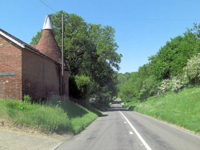
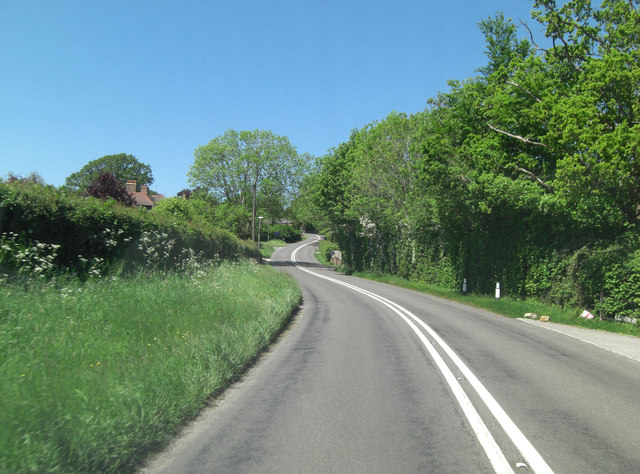
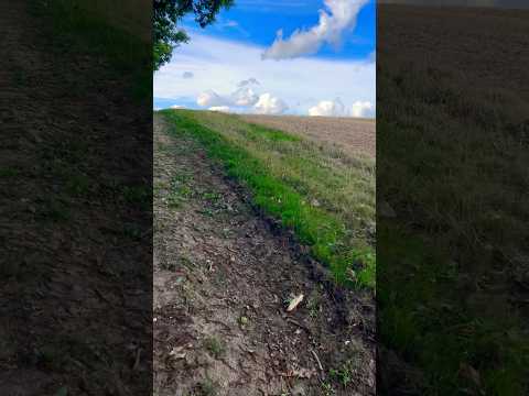
Alder Shaw boasts numerous walking trails that wind their way through the forest, offering visitors an opportunity to explore its beauty at their own pace. The trails are well-maintained and marked, making it easy for hikers to navigate through the wood and discover its hidden treasures. Along the way, one can admire the vibrant wildflowers that bloom in spring and summer, as well as spot birds, squirrels, and other small mammals that call the woodland home.
The tranquil ambiance of Alder Shaw makes it an ideal destination for nature enthusiasts seeking solace and relaxation. The peacefulness of the forest is often broken only by the gentle rustling of leaves and the occasional song of birds. Visitors can find secluded spots to sit and appreciate the serenity of the surroundings, while picnickers can enjoy a leisurely lunch amidst the natural beauty.
Overall, Alder Shaw in Sussex is a delightful woodland that offers a respite from the hustle and bustle of everyday life. Its thriving ecosystem and picturesque trails make it a must-visit destination for those seeking a connection with nature.
If you have any feedback on the listing, please let us know in the comments section below.
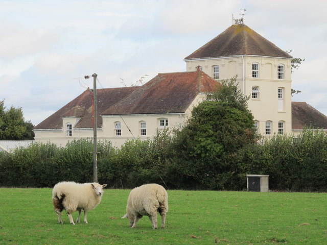
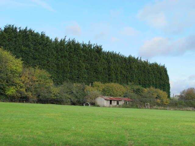
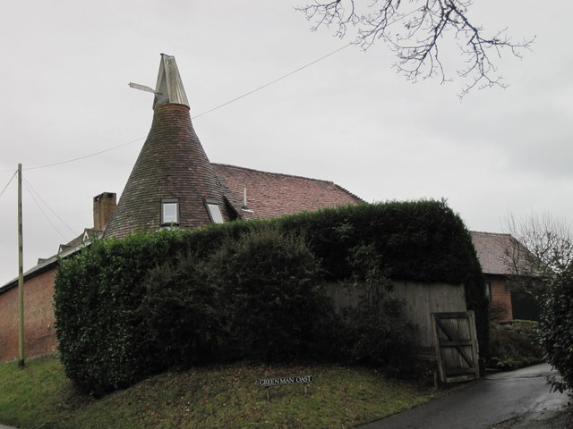
Alder Shaw Images
Images are sourced within 2km of 51.088613/0.27655785 or Grid Reference TQ5934. Thanks to Geograph Open Source API. All images are credited.

Alder Shaw is located at Grid Ref: TQ5934 (Lat: 51.088613, Lng: 0.27655785)
Administrative County: East Sussex
District: Wealden
Police Authority: Sussex
What 3 Words
///stray.bags.copper. Near Town Row, East Sussex
Nearby Locations
Related Wikis

Frant
Frant is a village and civil parish in the Wealden District of East Sussex, England, on the Kentish border about three miles (5 km) south of Royal Tunbridge...

St Alban's Church, Frant
St Alban's Church is a Church of England parish church in Frant, East Sussex, England. It was built in 1819–22 in a fifteenth-century gothic revival style...

Eridge Park
Eridge Park () is a village and historic park located north of the parish of Rotherfield, to the north-east of Crowborough in East Sussex, England. The...

Frant railway station
Frant railway station is on the Hastings line in East Sussex, England, and serves the civil parish of Frant (although the station is actually located some...

Best Beech Hill
Best Beech Hill is a locality in the civil parish of Wadhurst in the Wealden district of East Sussex, England. Wadhurst lies approximately 1.6 miles...

Kent and Sussex Crematorium and Cemetery
The Kent and Sussex Crematorium and Cemetery is a crematorium and cemetery located in Royal Tunbridge Wells in the county of Kent, England. == Background... ==

Wadhurst railway station
Wadhurst railway station is on the Hastings line in the south of England and serves the town of Wadhurst, East Sussex. It is 39 miles 23 chains (63.2 km...

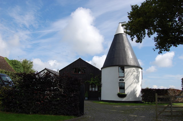
Walter's Mill, Mark Cross
Walter's Mill is a tower mill at Mark Cross, Sussex, England which has been converted to residential accommodation. == History == Walter's Mill was first...
Related Videos

Part 1 - Eridge to Frant Circular - Training
Ed & Mick have challenged themselves to walk The South Downs Way on April 22nd 2023. This video is Part 1 of their training, ...

LEJOG DAY 0 - Journey to Lands End, Penzance. UK
On the 14th September 2019 I set out on a one way journey to Lands End just me and my trusty Brompton for company.
Nearby Amenities
Located within 500m of 51.088613,0.27655785Have you been to Alder Shaw?
Leave your review of Alder Shaw below (or comments, questions and feedback).