The Wilderness
Wood, Forest in Kent Tonbridge and Malling
England
The Wilderness
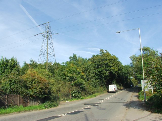
The Wilderness is a picturesque woodland located in the county of Kent, England. Spanning over a vast area, this enchanting forest offers a serene and peaceful escape from the hustle and bustle of city life. The Wilderness is renowned for its natural beauty, with dense clusters of ancient trees and an abundance of wildlife.
As one ventures into The Wilderness, they are immediately greeted by a sense of tranquility and harmony. The forest floor is adorned with a carpet of vibrant wildflowers, creating a breathtaking sight during the spring and summer months. The tall, majestic trees provide a canopy of shade, allowing visitors to take leisurely strolls or enjoy a picnic in the cool shade.
The Wilderness is home to a diverse range of flora and fauna. Rare species of plants can be found scattered throughout the forest, including the elusive lady's slipper orchid. Birdwatchers will delight in the variety of avian life that inhabits the area, from the melodious song of the nightingale to the graceful flight of buzzards overhead.
For those seeking adventure, The Wilderness offers numerous hiking trails and pathways that wind through the forest. These trails cater to all levels of fitness, making it an ideal destination for families and outdoor enthusiasts alike. Explorers can discover hidden clearings and secluded ponds, where they can observe frogs, dragonflies, and other creatures that call this woodland home.
In conclusion, The Wilderness in Kent is a captivating woodland that showcases the natural splendor of the region. With its stunning scenery, diverse wildlife, and various recreational activities, it is a haven for nature lovers and a place to reconnect with the great outdoors.
If you have any feedback on the listing, please let us know in the comments section below.
The Wilderness Images
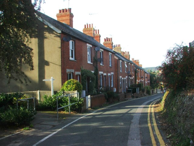
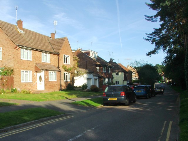
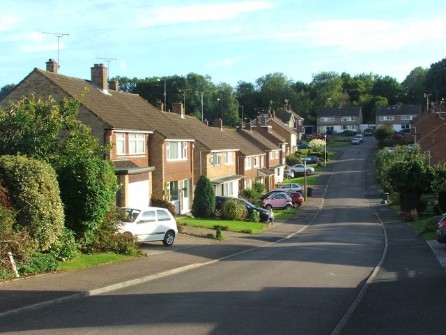
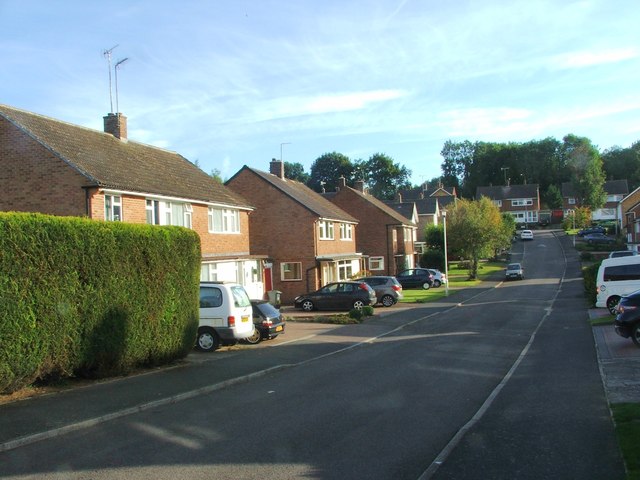
Images are sourced within 2km of 51.296226/0.28675774 or Grid Reference TQ5957. Thanks to Geograph Open Source API. All images are credited.

The Wilderness is located at Grid Ref: TQ5957 (Lat: 51.296226, Lng: 0.28675774)
Administrative County: Kent
District: Tonbridge and Malling
Police Authority: Kent
What 3 Words
///wished.lower.bless. Near Borough Green, Kent
Nearby Locations
Related Wikis

Ightham
Ightham ( EYE-təm) is a parish and village in Kent, England, located approximately four miles east of Sevenoaks and six miles north of Tonbridge. The...

Borough Green & Wrotham railway station
Borough Green & Wrotham railway station is located in Borough Green in Kent, England. It is 29 miles 46 chains (47.6 km) down the line from London Victoria...
Borough Green
Borough Green is situated in the borough of Tonbridge and Malling in Kent, England. The central area is situated on the A25 road between Maidstone and...

Oldbury rock shelters
The Oldbury rock shelters are a complex of Middle Palaeolithic sites situated on the slopes of Oldbury hillfort near Ightham in the English county of Kent...

Wrotham School
Wrotham School is a coeducational secondary school and sixth form with academy status, near Sevenoaks, Kent, England. It has about 760 registered students...
The Old House, Ightham Common
The Old House is a Grade II listed public house at Redwell Lane, Ightham Common, Kent TN15 9EE.It is on the Campaign for Real Ale's National Inventory...

Wrotham
Wrotham ( ROO-təm) is a village on the Pilgrims' Way in Kent, England, at the foot of the North Downs. It is 1 mile (1.6 km) north of Borough Green and...
Napps, Wrotham
Napps was a cricket ground at Wrotham in Kent. One match played on the ground was given retrospective first-class cricket status. This took place in 1815...
Nearby Amenities
Located within 500m of 51.296226,0.28675774Have you been to The Wilderness?
Leave your review of The Wilderness below (or comments, questions and feedback).