Heronry Wood
Wood, Forest in Sussex Wealden
England
Heronry Wood
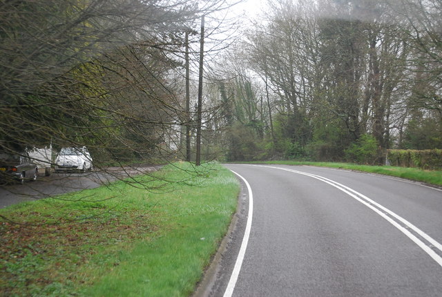
Heronry Wood is a picturesque forest located in the county of Sussex, England. Covering an area of approximately 100 acres, it is an enchanting destination for nature lovers, birdwatchers, and outdoor enthusiasts. The wood is situated within a designated Area of Outstanding Natural Beauty, adding to its allure and charm.
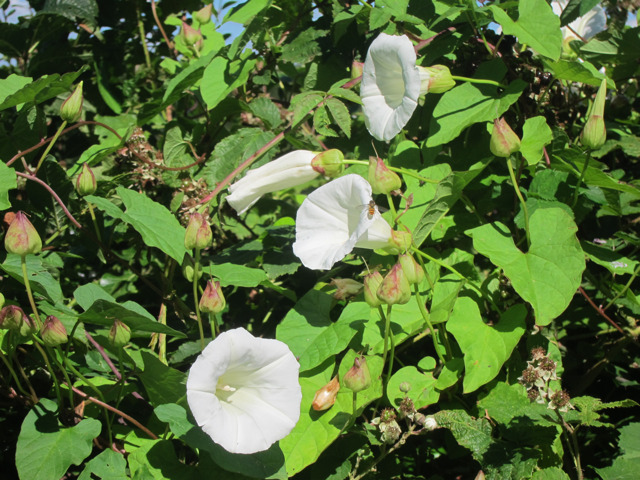
Heronry Wood is primarily composed of a diverse range of deciduous trees, including oak, beech, and ash, which creates a beautiful tapestry of colors during the autumn months. The forest floor is adorned with a variety of wildflowers, ferns, and mosses, providing a rich habitat for countless species of flora and fauna.
As the name suggests, one of the major attractions of Heronry Wood is the heronry itself. Located near a tranquil pond, this nesting site is home to a thriving population of grey herons. During the breeding season, visitors are treated to an awe-inspiring sight as these majestic birds build their nests high in the treetops and care for their young.
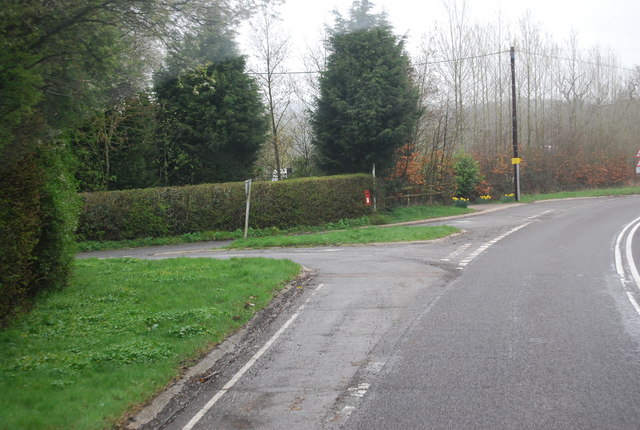
The wood offers a network of well-maintained footpaths and trails, allowing visitors to explore its natural wonders at their own pace. It is a popular spot for walking, jogging, and picnicking, with designated areas for relaxation and birdwatching. The peaceful ambiance and serene surroundings make it an ideal place for those seeking solace and a break from the hustle and bustle of daily life.
Heronry Wood is a haven for wildlife, with numerous species of birds, mammals, and insects calling it home. From woodpeckers and owls to deer and foxes, there is always something fascinating to observe in this vibrant ecosystem.
Overall, Heronry Wood in Sussex is a captivating destination that offers a blend of natural beauty, tranquility, and wildlife diversity. Its unique features make it a cherished gem in the heart of Sussex's countryside.
If you have any feedback on the listing, please let us know in the comments section below.
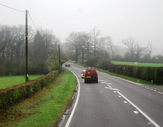
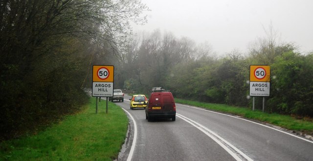
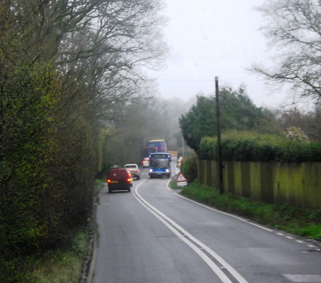
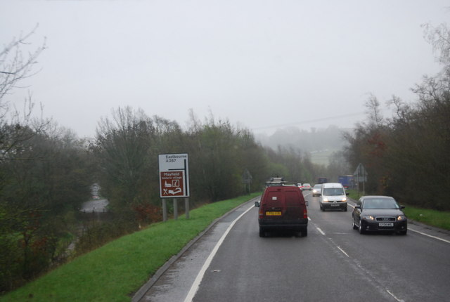
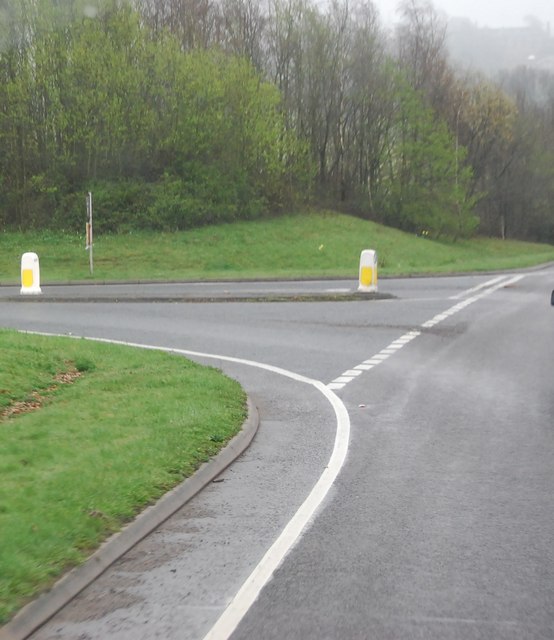
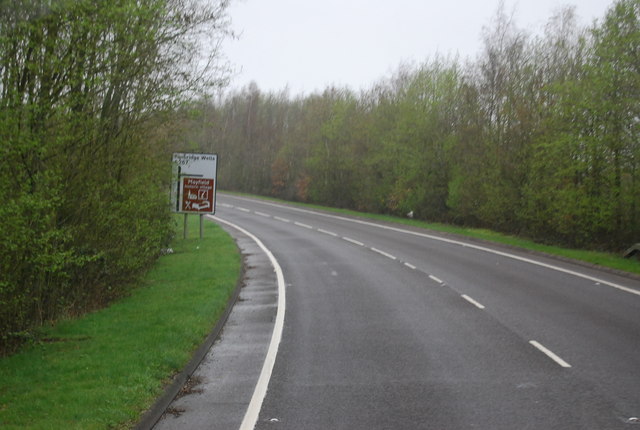
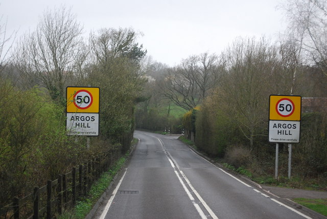
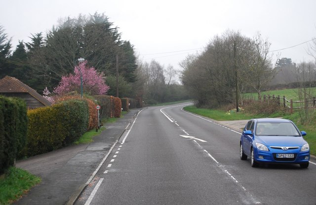
Heronry Wood Images
Images are sourced within 2km of 51.034736/0.26989358 or Grid Reference TQ5928. Thanks to Geograph Open Source API. All images are credited.

Heronry Wood is located at Grid Ref: TQ5928 (Lat: 51.034736, Lng: 0.26989358)
Administrative County: East Sussex
District: Wealden
Police Authority: Sussex
What 3 Words
///earful.pushover.asked. Near Town Row, East Sussex
Nearby Locations
Related Wikis
Mayfield College
Mayfield College is a defunct Roman Catholic boys' boarding school founded as the Holy Trinity Orphanage For Boys in 1865–1866 by the American-born Dowager...
Mayfield School, East Sussex
Mayfield School, previously St Leonards-Mayfield School, is an independent Catholic boarding and day school for girls aged 11 to 18. It is in the village...

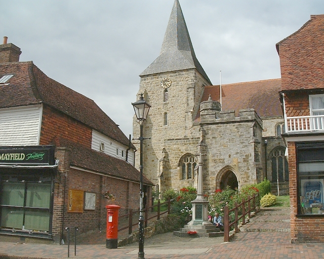
St Dunstan's Church, Mayfield
St Dunstan's, Mayfield in Mayfield, East Sussex was founded in 960 CE by St Dunstan, who was then Archbishop of Canterbury. It is reported as being originally...
Mayfield and Five Ashes
Mayfield and Five Ashes is a civil parish in the High Weald of East Sussex, England. The two villages making up the principal part of the parish lie on...
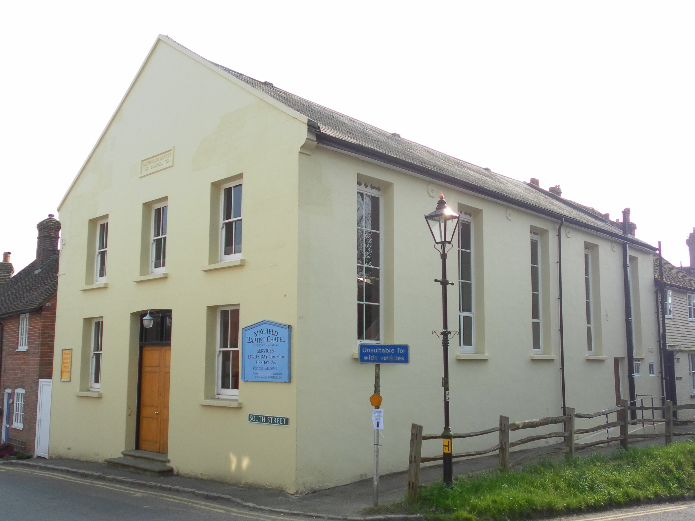
Mayfield Baptist Chapel
Mayfield Baptist Chapel, also known as Mayfield Strict Baptist Chapel, is a place of worship for Gospel Standard Strict Baptists in the village of Mayfield...

Argos Hill Mill, Mayfield
Argos Hill Mill is a grade II* listed post mill at Argos Hill, Mayfield, East Sussex, England As of 2017 it is in the process of restoration by the Argos...

Mayfield railway station
Mayfield was a railway station on the now closed Eridge to Polegate cross country line (the Cuckoo Line). It was built by London, Brighton and South Coast...

Tidebrook
Tidebrook is a hamlet within the parish of Wadhurst in East Sussex, England. It is located between the villages of Mayfield and Wadhurst. The brook for...
Nearby Amenities
Located within 500m of 51.034736,0.26989358Have you been to Heronry Wood?
Leave your review of Heronry Wood below (or comments, questions and feedback).