Banky Wood
Wood, Forest in Sussex Wealden
England
Banky Wood
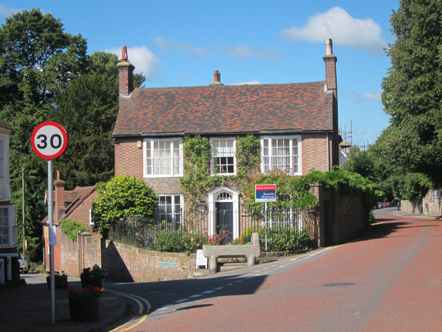
Banky Wood is a picturesque and serene forest located in Sussex, England. This enchanting woodland covers an area of approximately 100 acres and is a popular destination for nature lovers and outdoor enthusiasts. Situated near the village of Banky, the wood is easily accessible and attracts visitors from both the local community and beyond.
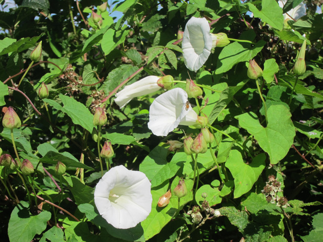
The forest is home to a diverse range of flora and fauna, providing a rich ecosystem for various species. Towering oak and beech trees dominate the landscape, creating a dense canopy that filters sunlight and casts a soothing shade over the forest floor. Walking trails meander through the wood, allowing visitors to explore its natural beauty at their own pace.
Banky Wood is also known for its vibrant wildlife. Deer, foxes, rabbits, and a plethora of bird species inhabit the forest, making it an ideal spot for birdwatching and animal spotting. The tranquil atmosphere and peaceful surroundings make it a perfect place for nature photography and quiet contemplation.
In addition to its natural allure, Banky Wood offers recreational activities for visitors. Picnic areas and benches are scattered throughout the forest, providing a great opportunity for families and friends to enjoy a leisurely day out. The forest is also a popular spot for hiking, jogging, and cycling, with well-maintained trails catering to all levels of fitness.
Overall, Banky Wood is a captivating destination that offers a delightful escape from the hustle and bustle of everyday life. Its stunning beauty, diverse wildlife, and recreational opportunities make it a cherished gem in the heart of Sussex.
If you have any feedback on the listing, please let us know in the comments section below.
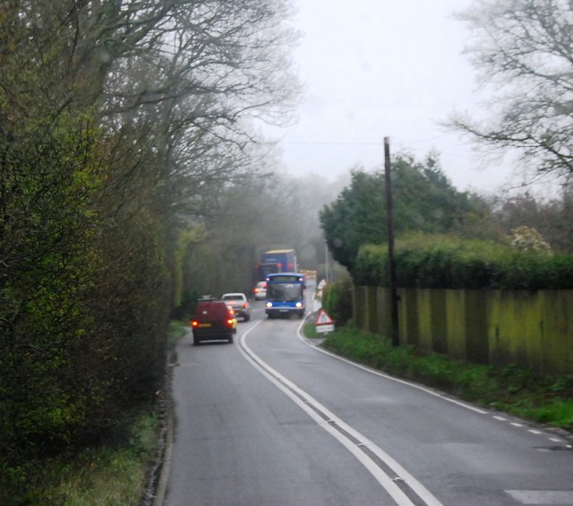
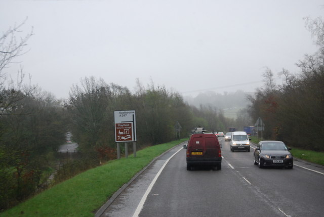
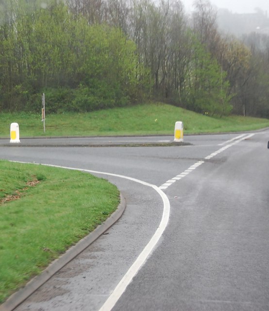
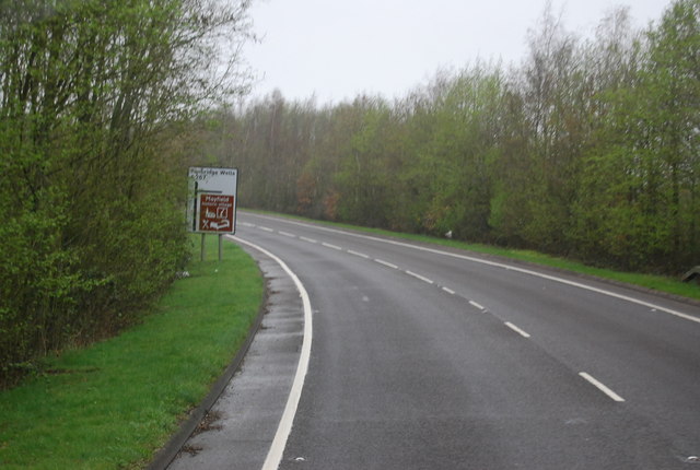
Banky Wood Images
Images are sourced within 2km of 51.030261/0.27199968 or Grid Reference TQ5928. Thanks to Geograph Open Source API. All images are credited.


Banky Wood is located at Grid Ref: TQ5928 (Lat: 51.030261, Lng: 0.27199968)
Administrative County: East Sussex
District: Wealden
Police Authority: Sussex
What 3 Words
///slept.healers.scaffold. Near Town Row, East Sussex
Nearby Locations
Related Wikis
Mayfield School, East Sussex
Mayfield School, previously St Leonards-Mayfield School, is an independent Catholic boarding and day school for girls aged 11 to 18. It is in the village...
Mayfield College
Mayfield College is a defunct Roman Catholic boys' boarding school founded as the Holy Trinity Orphanage For Boys in 1865–1866 by the American-born Dowager...

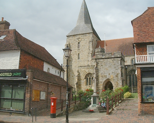
St Dunstan's Church, Mayfield
St Dunstan's, Mayfield in Mayfield, East Sussex was founded in 960 CE by St Dunstan, who was then Archbishop of Canterbury. It is reported as being originally...
Mayfield and Five Ashes
Mayfield and Five Ashes is a civil parish in the High Weald of East Sussex, England. The two villages making up the principal part of the parish lie on...
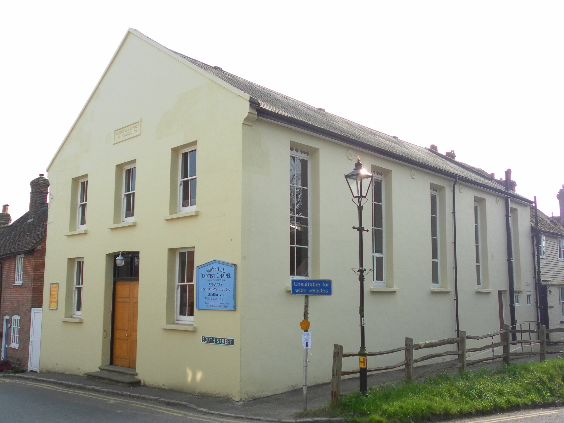
Mayfield Baptist Chapel
Mayfield Baptist Chapel, also known as Mayfield Strict Baptist Chapel, is a place of worship for Gospel Standard Strict Baptists in the village of Mayfield...

Mayfield railway station
Mayfield was a railway station on the now closed Eridge to Polegate cross country line (the Cuckoo Line). It was built by London, Brighton and South Coast...

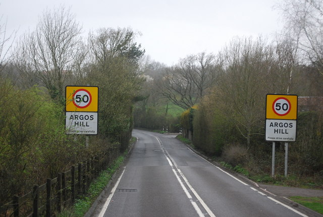
Argos Hill Mill, Mayfield
Argos Hill Mill is a grade II* listed post mill at Argos Hill, Mayfield, East Sussex, England As of 2017 it is in the process of restoration by the Argos...

Tidebrook
Tidebrook is a hamlet within the parish of Wadhurst in East Sussex, England. It is located between the villages of Mayfield and Wadhurst. The brook for...
Nearby Amenities
Located within 500m of 51.030261,0.27199968Have you been to Banky Wood?
Leave your review of Banky Wood below (or comments, questions and feedback).