Home Wood
Wood, Forest in Essex Uttlesford
England
Home Wood
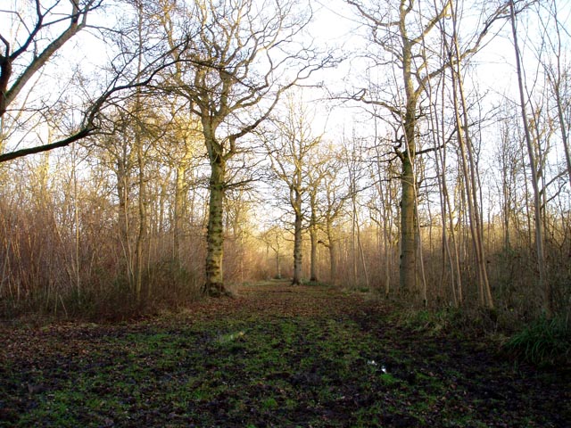
Home Wood is a picturesque woodland located in Essex, England. Situated in the heart of the county, the wood is part of the larger Forest of Essex, which covers an area of approximately 15,000 acres. Home Wood is renowned for its natural beauty and diverse range of flora and fauna.
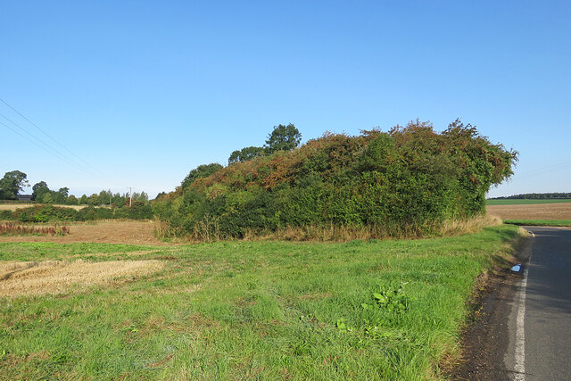
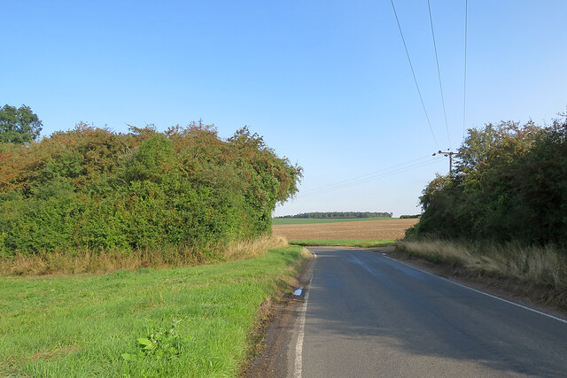
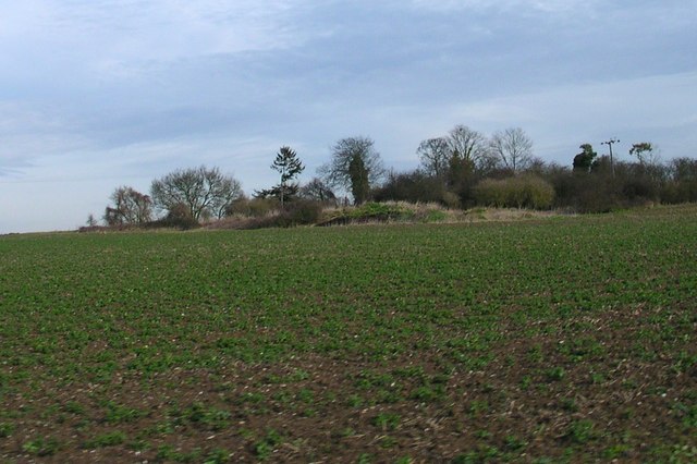
Covering an area of around 200 acres, Home Wood is predominantly made up of deciduous trees, including oak, birch, and beech. The wood is known for its dense canopy, which provides a habitat for various bird species such as woodpeckers, owls, and thrushes. Additionally, the woodland floor is carpeted with an array of wildflowers, including bluebells, primroses, and foxgloves, making it a popular destination for nature enthusiasts and photographers.
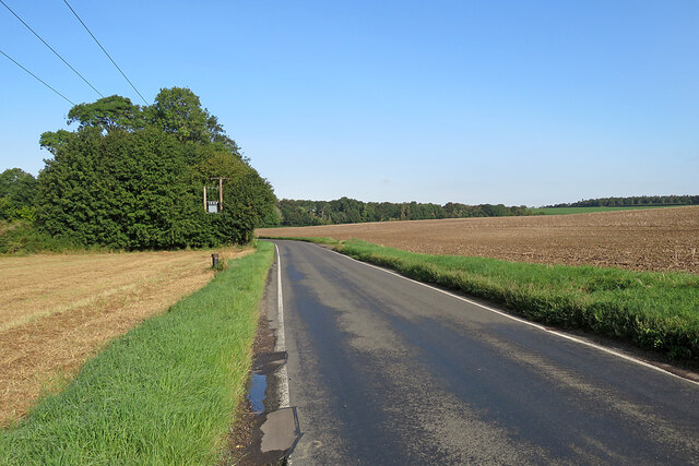
The wood is crisscrossed by a network of well-maintained footpaths and trails, allowing visitors to explore the area at their own pace. There are also designated picnic areas and benches strategically placed throughout the wood, providing visitors with the opportunity to relax and enjoy the tranquil surroundings.
Home Wood is managed by the local council, who work to preserve its natural beauty and protect the wildlife that inhabits the area. The wood is open to the public year-round, and there is no admission fee.
Overall, Home Wood offers a peaceful retreat from the hustle and bustle of everyday life, providing visitors with the chance to immerse themselves in nature and experience the beauty of the Essex countryside.
If you have any feedback on the listing, please let us know in the comments section below.
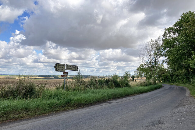
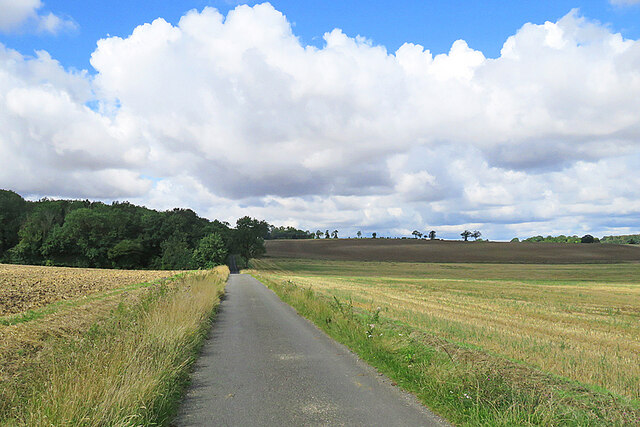
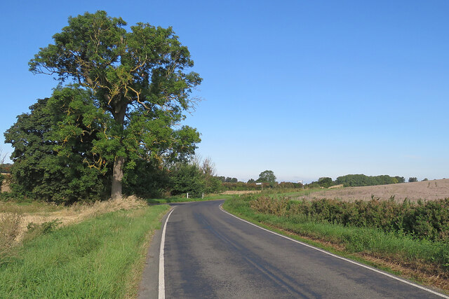
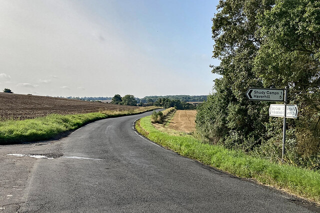
Home Wood Images
Images are sourced within 2km of 52.066811/0.32177984 or Grid Reference TL5943. Thanks to Geograph Open Source API. All images are credited.


Home Wood is located at Grid Ref: TL5943 (Lat: 52.066811, Lng: 0.32177984)
Administrative County: Essex
District: Uttlesford
Police Authority: Essex
What 3 Words
///redouble.words.concerts. Near Linton, Cambridgeshire
Nearby Locations
Related Wikis

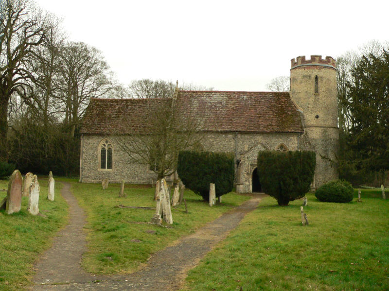
Bragg's Mill, Ashdon
Bragg's Mill, William Bragg's Mill, Bartlow Hamlet Mill or Stevington End Mill is a grade II listed post mill at Ashdon, Essex, England which has been...
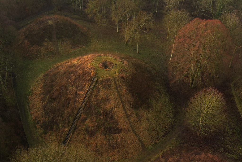
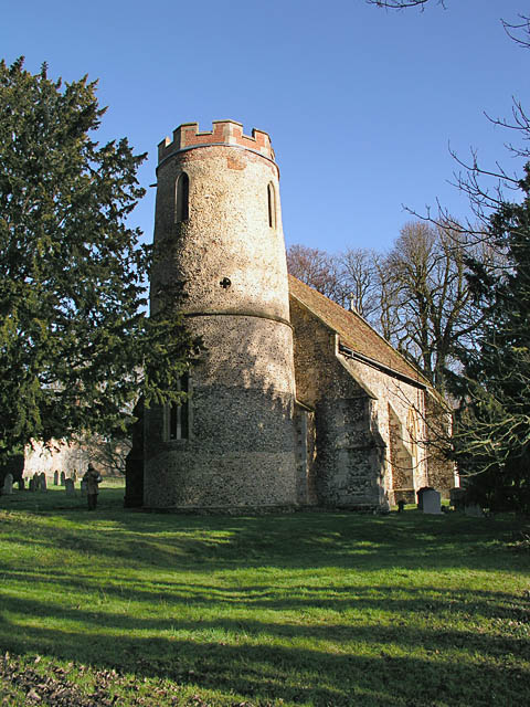
Bartlow Hills
Bartlow Hills is a Roman tumuli cemetery in Bartlow, Cambridgeshire, England. The site was in Essex until a boundary alteration in 1990. Four of the original...
Ashdon
Ashdon, is a village and civil parish in Essex, England. It is about 4 miles (6 km) northeast of Saffron Walden and 23 miles (37 km) northwest from the...
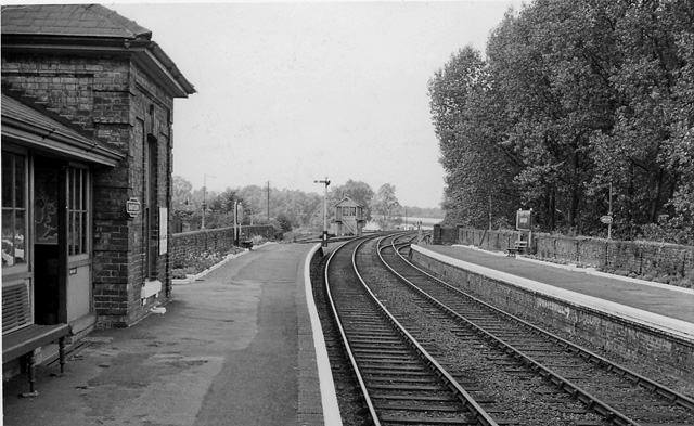
Bartlow railway station
Bartlow railway station was a station in Bartlow, Cambridgeshire on the Stour Valley Railway at the junction with the Saffron Walden Railway. There were...
Langley Wood, Cambridgeshire
Langley Wood is a 31.6-hectare (78-acre) biological Site of Special Scientific Interest in Cambridgeshire, but lying between Saffron Walden in Essex and...
Bartlow
Bartlow is a small village and civil parish in the South Cambridgeshire district of Cambridgeshire, England, about 12 miles (19 km) south-east of Cambridge...

Ashdon Halt railway station
Ashdon Halt was a railway station on the Saffron Walden Railway. It opened 14 August 1911 and closed 7 September 1964. The halt was approximately 46 miles...

Nunn Wood
Nunn Wood is a 9.7-hectare (24-acre) biological Site of Special Scientific Interest between Great Chesterford and Ashdon in Essex, England.The site is...
Nearby Amenities
Located within 500m of 52.066811,0.32177984Have you been to Home Wood?
Leave your review of Home Wood below (or comments, questions and feedback).