Paddock Belts
Wood, Forest in Cambridgeshire South Cambridgeshire
England
Paddock Belts
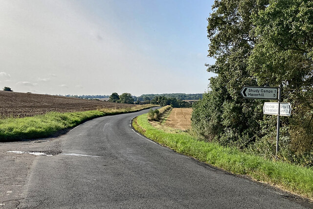
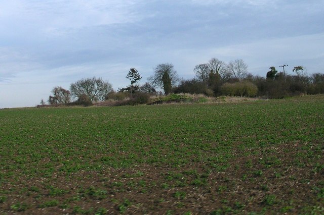
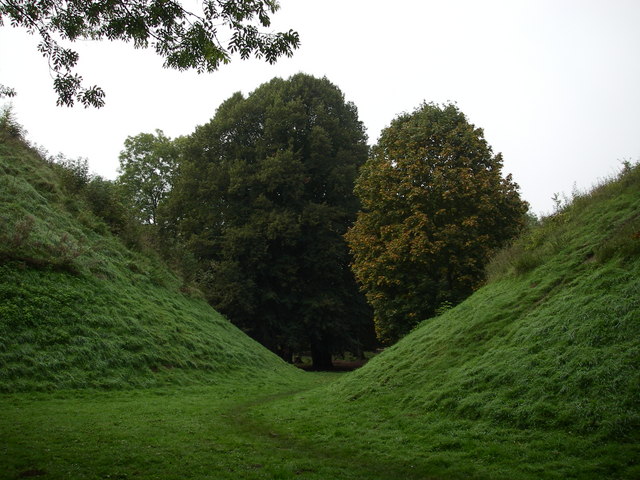
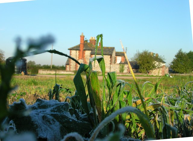
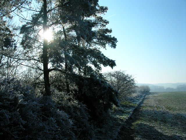
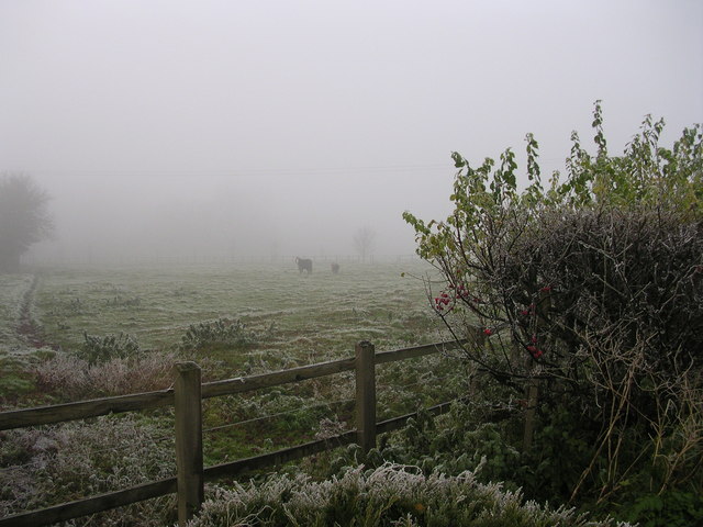
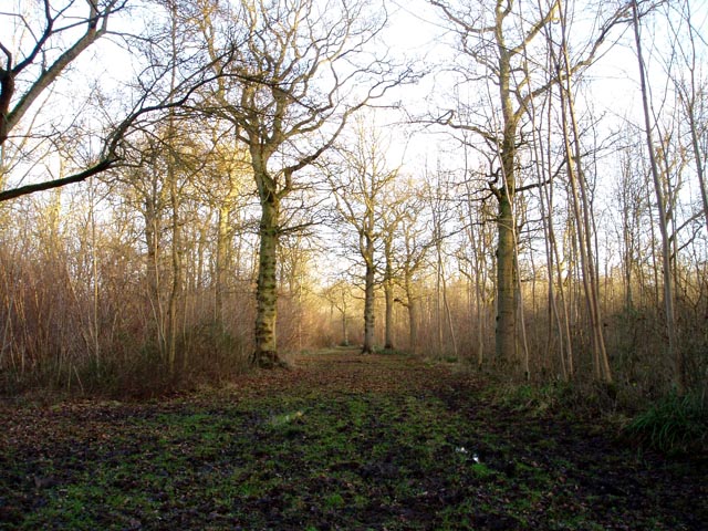
Paddock Belts is a picturesque woodland area located in Cambridgeshire, England. Situated in the heart of the county, this woodland expanse covers a vast area of approximately 100 acres. It is a popular destination for nature enthusiasts, hikers, and those seeking a peaceful retreat away from the bustling city life.
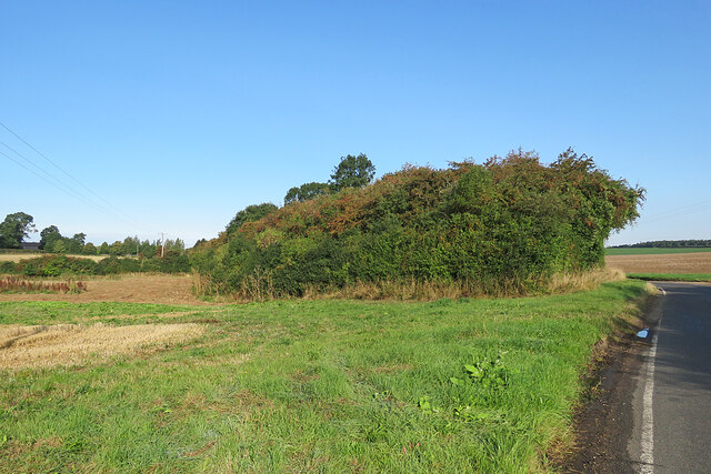
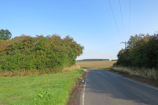
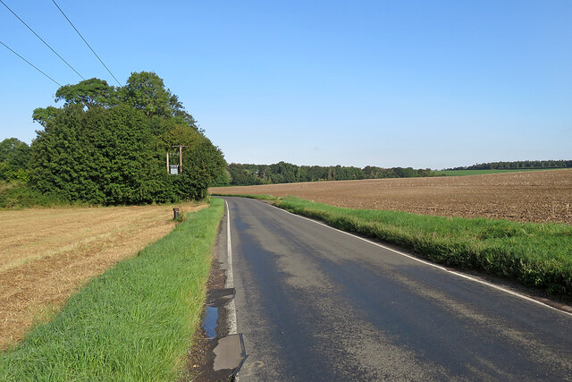
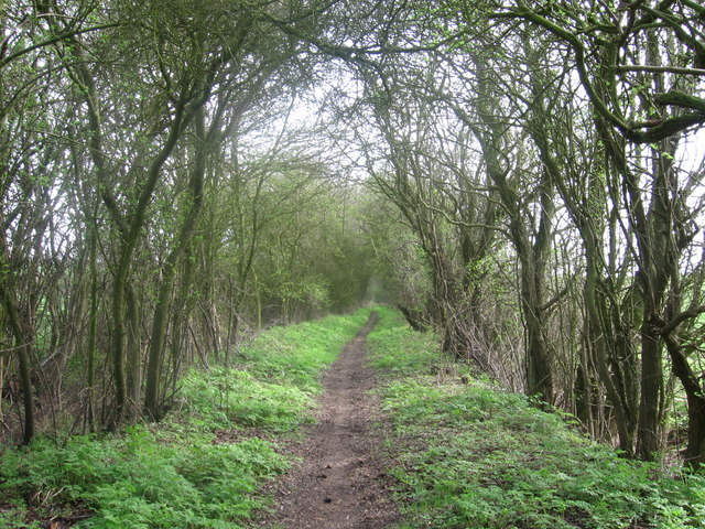
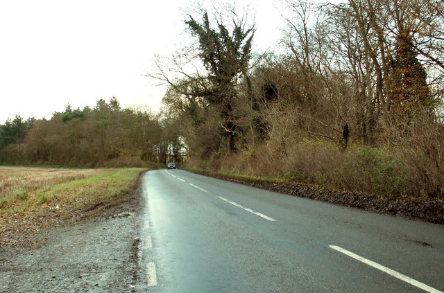
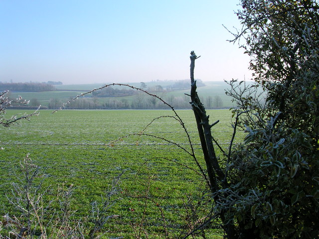
The woodland is characterized by its dense forest of towering trees, predominantly consisting of oak, beech, and ash. These trees create a majestic canopy that provides shade and shelter to the various flora and fauna that call Paddock Belts their home. The forest floor is adorned with a rich carpet of ferns, wildflowers, and moss, adding to the enchanting atmosphere of the woodland.
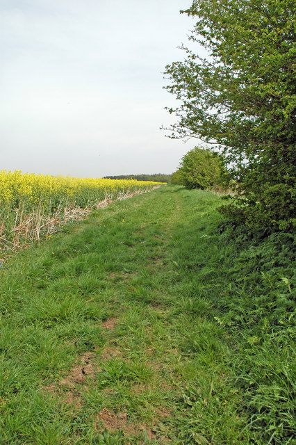
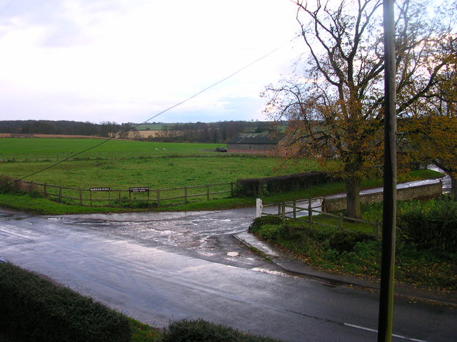
The area is intersected by several well-maintained trails, allowing visitors to explore the woods at their own leisure. These paths wind through the forest, taking visitors on a journey through serene groves and alongside babbling brooks. Along the way, visitors may encounter a variety of wildlife, including deer, foxes, rabbits, and a plethora of bird species.
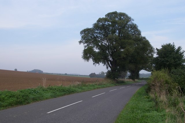
Paddock Belts is not only known for its natural beauty but also its historical significance. The woodland is believed to have been a part of the ancient hunting grounds of the English monarchs. Its proximity to the city of Cambridge makes it a popular destination for locals and tourists alike, providing a tranquil escape from the urban environment.
Overall, Paddock Belts in Cambridgeshire is a captivating woodland retreat, offering a chance to immerse oneself in the beauty of nature, explore scenic trails, and discover the rich history of the area.
If you have any feedback on the listing, please let us know in the comments section below.
Paddock Belts Images
Images are sourced within 2km of 52.079483/0.31670171 or Grid Reference TL5844. Thanks to Geograph Open Source API. All images are credited.
Paddock Belts is located at Grid Ref: TL5844 (Lat: 52.079483, Lng: 0.31670171)
Administrative County: Cambridgeshire
District: South Cambridgeshire
Police Authority: Cambridgeshire
What 3 Words
///ridiculed.hasten.pokers. Near Linton, Cambridgeshire
Nearby Locations
Related Wikis
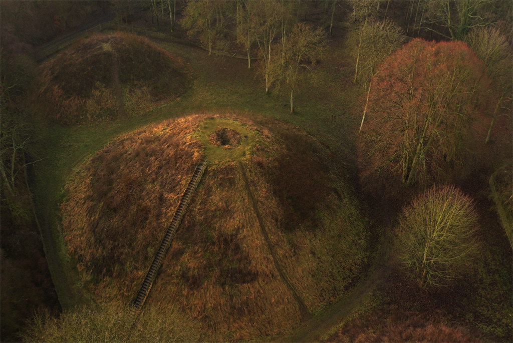
Bartlow Hills
Bartlow Hills is a Roman tumuli cemetery in Bartlow, Cambridgeshire, England. The site was in Essex until a boundary alteration in 1990. Four of the original...
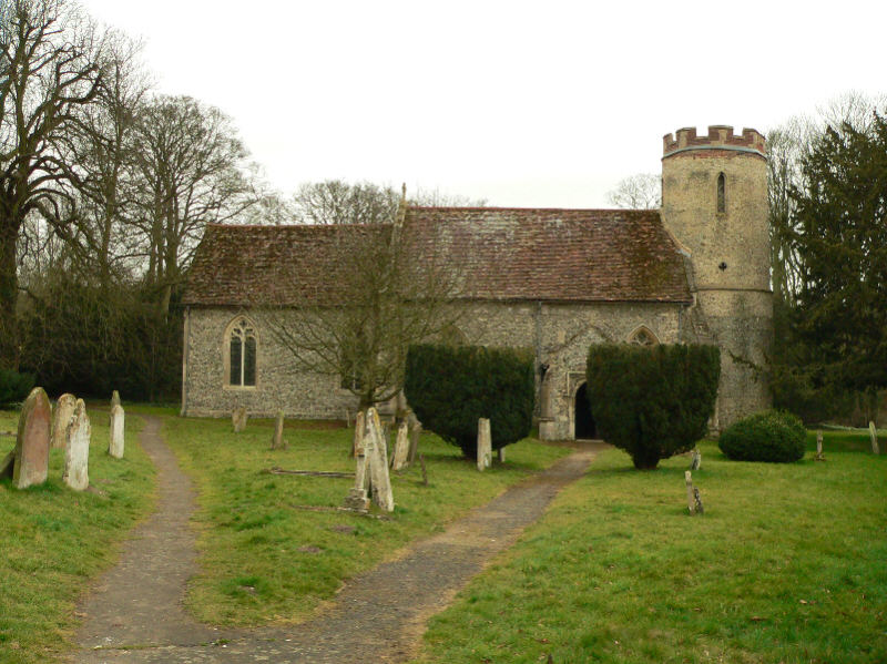
Bartlow
Bartlow is a small village and civil parish in the South Cambridgeshire district of Cambridgeshire, England, about 12 miles (19 km) south-east of Cambridge...
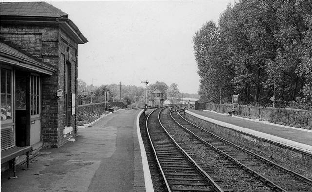
Bartlow railway station
Bartlow railway station was a station in Bartlow, Cambridgeshire on the Stour Valley Railway at the junction with the Saffron Walden Railway. There were...

Barham Friary
Barham Friary was a Crutched Friars friary in Linton, Cambridgeshire, England. It was established around 1272 and was dissolved in 1538. == References ==

Bragg's Mill, Ashdon
Bragg's Mill, William Bragg's Mill, Bartlow Hamlet Mill or Stevington End Mill is a grade II listed post mill at Ashdon, Essex, England which has been...
Ashdon
Ashdon, is a village and civil parish in Essex, England. It is about 4 miles (6 km) northeast of Saffron Walden and 23 miles (37 km) northwest from the...
Langley Wood, Cambridgeshire
Langley Wood is a 31.6-hectare (78-acre) biological Site of Special Scientific Interest in Cambridgeshire, but lying between Saffron Walden in Essex and...

Hadstock
Hadstock is a village in Essex, England, about 6 miles (10 km) from Saffron Walden. It is on the county boundary with Cambridgeshire and about 9 miles...
Nearby Amenities
Located within 500m of 52.079483,0.31670171Have you been to Paddock Belts?
Leave your review of Paddock Belts below (or comments, questions and feedback).