Black Belt
Wood, Forest in Essex Uttlesford
England
Black Belt
Black Belt, Essex (Wood, Forest) is a small rural community located in Essex County, Alabama. It is situated in the southern part of the state and is known for its rich history and natural beauty. The name "Black Belt" refers to the fertile soil found in the area, which is ideal for agriculture.
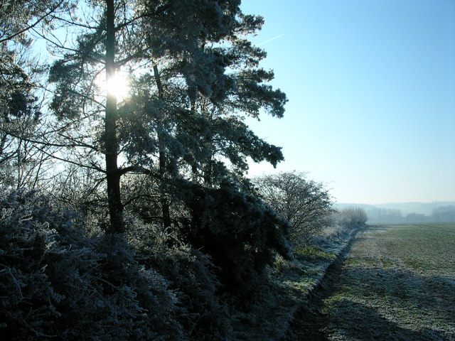
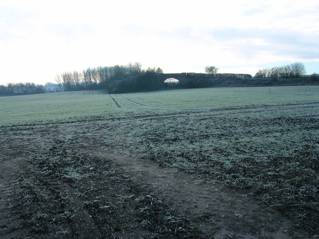
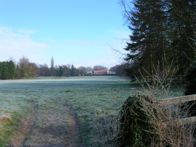
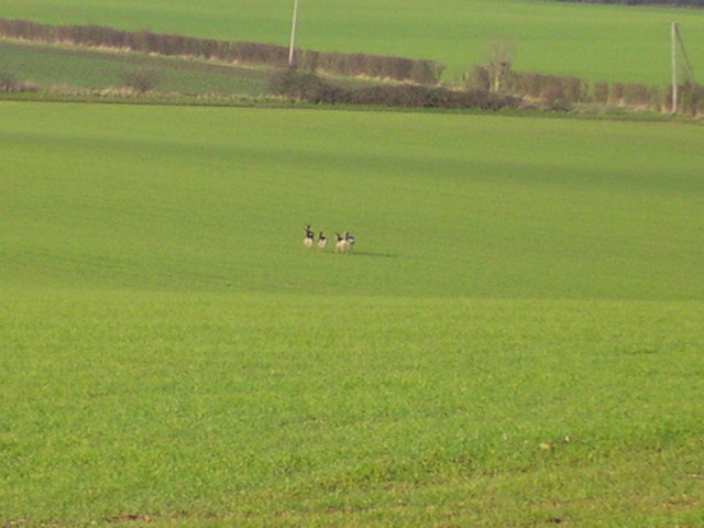
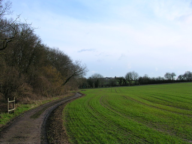
The community is primarily made up of farmland and forests, with picturesque landscapes and a tranquil atmosphere. The Wood and Forest areas within Black Belt are particularly known for their dense tree cover and scenic trails, making it a popular destination for nature lovers and outdoor enthusiasts.
In addition to its natural attractions, Black Belt also has a strong sense of community and a rich cultural heritage. The local residents take pride in their history and traditions, and there are often community events and festivals that celebrate the area's unique culture.
Despite its small size, Black Belt is also home to a number of amenities and services. There are local shops and businesses that cater to the needs of the community, as well as educational institutions and healthcare facilities.
Overall, Black Belt, Essex (Wood, Forest) offers a peaceful and idyllic living environment, with a close-knit community and abundant natural beauty. It is a place where residents can enjoy the tranquility of rural life while still having access to essential services and a strong sense of community.
If you have any feedback on the listing, please let us know in the comments section below.
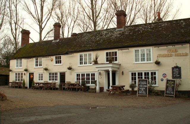
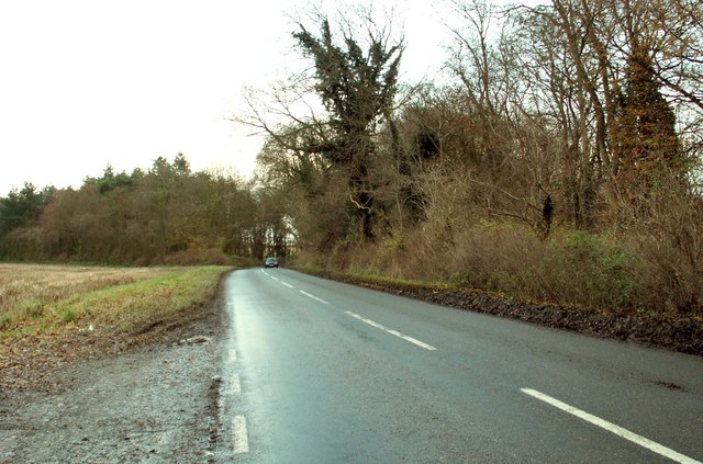
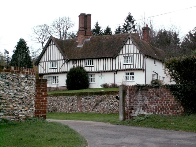
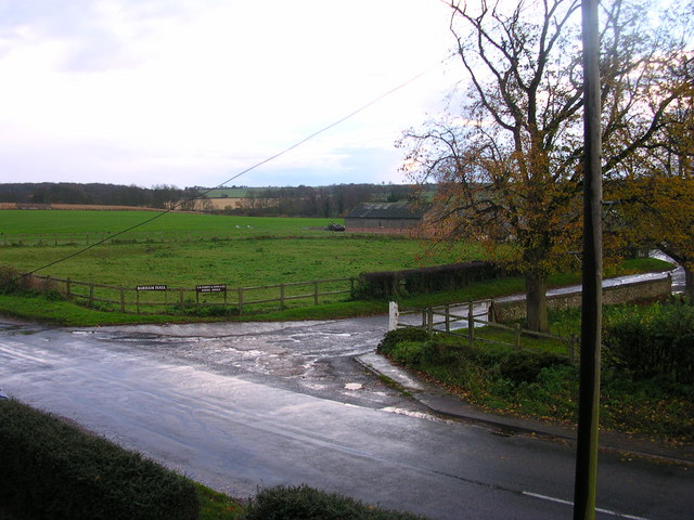
Black Belt Images
Images are sourced within 2km of 52.073613/0.305132 or Grid Reference TL5844. Thanks to Geograph Open Source API. All images are credited.


Black Belt is located at Grid Ref: TL5844 (Lat: 52.073613, Lng: 0.305132)
Administrative County: Essex
District: Uttlesford
Police Authority: Essex
What 3 Words
///audibly.speedily.data. Near Linton, Cambridgeshire
Nearby Locations
Related Wikis
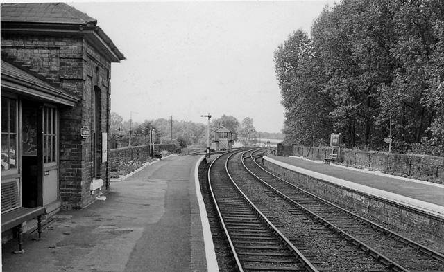
Bartlow railway station
Bartlow railway station was a station in Bartlow, Cambridgeshire on the Stour Valley Railway at the junction with the Saffron Walden Railway. There were...
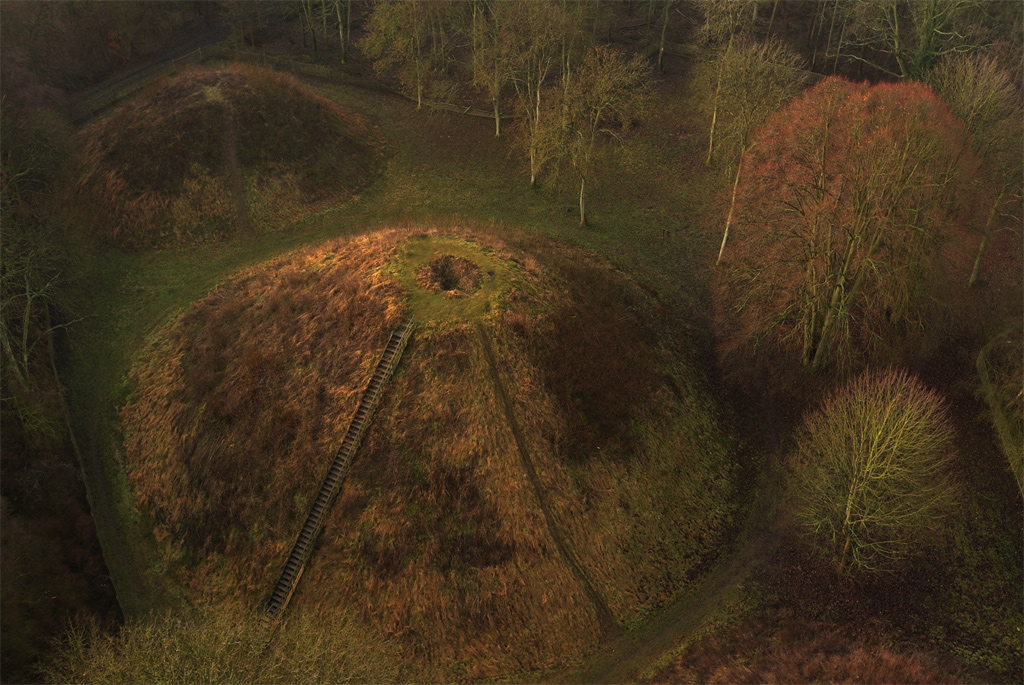
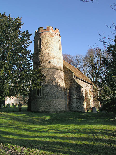
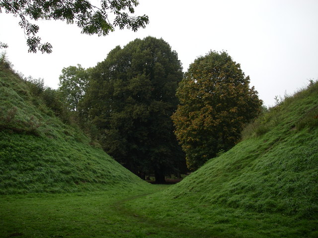
Bartlow Hills
Bartlow Hills is a Roman tumuli cemetery in Bartlow, Cambridgeshire, England. The site was in Essex until a boundary alteration in 1990. Four of the original...
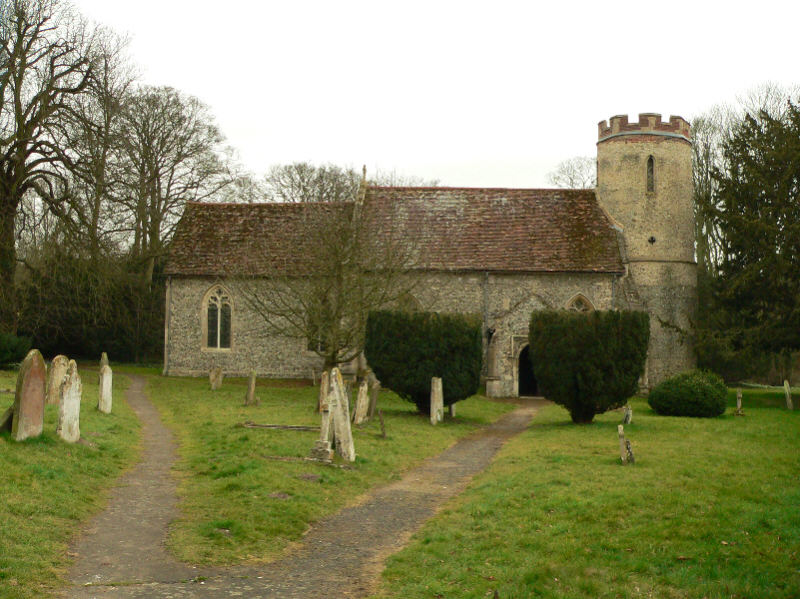
Bartlow
Bartlow is a small village and civil parish in the South Cambridgeshire district of Cambridgeshire, England, about 12 miles (19 km) south-east of Cambridge...

Barham Friary
Barham Friary was a Crutched Friars friary in Linton, Cambridgeshire, England. It was established around 1272 and was dissolved in 1538. == References ==

Ashdon
Ashdon, is a village and civil parish in Essex, England. It is about 4 miles (6 km) northeast of Saffron Walden and 23 miles (37 km) northwest from the...
Bragg's Mill, Ashdon
Bragg's Mill, William Bragg's Mill, Bartlow Hamlet Mill or Stevington End Mill is a grade II listed post mill at Ashdon, Essex, England which has been...

Nunn Wood
Nunn Wood is a 9.7-hectare (24-acre) biological Site of Special Scientific Interest between Great Chesterford and Ashdon in Essex, England.The site is...

Hadstock
Hadstock is a village in Essex, England, about 6 miles (10 km) from Saffron Walden. It is on the county boundary with Cambridgeshire and about 9 miles...
Related Videos

Bartlow Hills, Roman Burial Ground – Cambridgeshire (Beautiful, Eerie and Abandoned Places - UK)
burialgrounds #cemeteries #graveyards #churches Hidden some way behind St Mary's Church, Bartlow, Bartlow Hills is a Roman ...
Nearby Amenities
Located within 500m of 52.073613,0.305132Have you been to Black Belt?
Leave your review of Black Belt below (or comments, questions and feedback).