Deers Land

Wood, Forest in Cambridgeshire South Cambridgeshire

England

Deers Land

The road to Six Mile Bottom This is the road from West Wratting to Six Mile Bottom, near Lark Hall. The signpost on the right points along a path which cuts a corner and leads to the Weston Colville road (see <a href="https://www.geograph.org.uk/photo/7221136">TL5854 : Footpath through barley</a>).
The road to Six Mile Bottom Credit: John Sutton

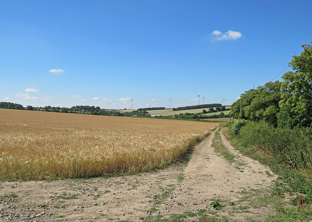
Deers Land is a picturesque woodland located in the county of Cambridgeshire, England. Spanning over an area of approximately 100 acres, it is a beautiful and serene destination that offers a unique experience for nature lovers and outdoor enthusiasts.

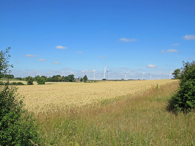
The woodland is predominantly made up of dense forests, lush greenery, and towering trees, creating a tranquil and peaceful atmosphere. It is home to a variety of wildlife, including deer, which gives the woodland its name. Visitors have the opportunity to witness these majestic creatures roaming freely in their natural habitat.

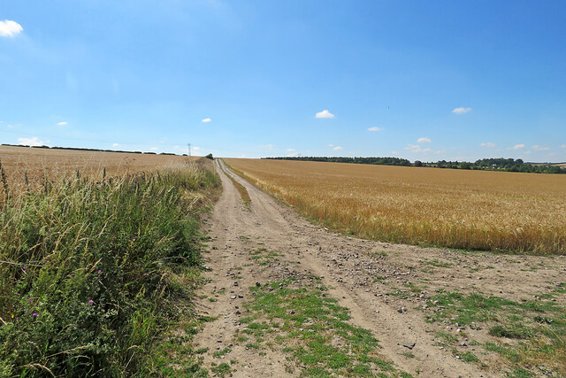
Deers Land offers a range of recreational activities for visitors to enjoy. There are well-maintained walking trails that meander through the woodland, allowing visitors to explore the area at their own pace. These trails provide an excellent opportunity for nature walks, birdwatching, and photography.

The woodland also features picnic areas, where visitors can relax and enjoy a meal surrounded by the beauty of nature. Additionally, there are designated camping spots for those who wish to spend a night under the stars.

Deers Land is easily accessible, with ample parking facilities available for visitors. The woodland is open throughout the year, allowing visitors to enjoy its beauty in every season, from the vibrant colors of autumn to the refreshing greenery of spring.

Overall, Deers Land in Cambridgeshire is a haven for nature enthusiasts, offering a peaceful retreat from the hustle and bustle of everyday life. Its lush forests, diverse wildlife, and recreational activities make it a must-visit destination for anyone seeking solace in nature.

If you have any feedback on the listing, please let us know in the comments section below.

Deers Land Images

Images are sourced within 2km of 52.154083/0.30937546 or Grid Reference TL5853. Thanks to Geograph Open Source API. All images are credited.

The road to Six Mile Bottom This is the road from West Wratting to Six Mile Bottom, near Lark Hall. The signpost on the right points along a path which cuts a corner and leads to the Weston Colville road (see <a href="https://www.geograph.org.uk/photo/7221136">TL5854 : Footpath through barley</a>).
The road to Six Mile Bottom
This is the road from West Wratting to Six Mile Bottom, near Lark Hall. The signpost on the right points along a path which cuts a corner and leads to the Weston Colville road (see TL5854 : Footpath through barley).
Barley and turbines Looking towards Lark Hall Corner and, on the skyline, some of the turbines of Wadlow Wind Farm on a fine July morning.
Barley and turbines
Looking towards Lark Hall Corner and, on the skyline, some of the turbines of Wadlow Wind Farm on a fine July morning.
Footpath through barley The start, near Lark Hall, of a path which follows a farm track, cutting a corner and leading to the Weston Colville road.
Footpath through barley
The start, near Lark Hall, of a path which follows a farm track, cutting a corner and leading to the Weston Colville road.
A corrugated shed at Green End Farm The farm is on the road from West Wratting to Six Mile Bottom (right). Five of the turbines of Wadlow Wind Farm show on the skyline.
A corrugated shed at Green End Farm
The farm is on the road from West Wratting to Six Mile Bottom (right). Five of the turbines of Wadlow Wind Farm show on the skyline.
On the way to Six Mile Bottom The road from West Wratting, photographed on a fine July morning.
On the way to Six Mile Bottom
The road from West Wratting, photographed on a fine July morning.
Wheatfield and turbines Looking across a wheatfield from beside the Balsham to West Wratting road, the B1052. Eight of the thirteen turbines of Wadlow Wind Farm show against a fine summer sky and parts of Grange Farm show among the trees to the left of centre.
Wheatfield and turbines
Looking across a wheatfield from beside the Balsham to West Wratting road, the B1052. Eight of the thirteen turbines of Wadlow Wind Farm show against a fine summer sky and parts of Grange Farm show among the trees to the left of centre.
Plantation near Fleam Dyke A recreation of <a href="https://www.geograph.org.uk/photo/1983030">TL5652 : Plantation near Fleam Dyke</a> from a year previous, with <a href="https://www.geograph.org.uk/photo/2253348">TL5652 : Plantation and ploughland in January</a> taken in between. The brambles had grown significantly and the footpath itself was overgrown in places.
Plantation near Fleam Dyke
A recreation of TL5652 : Plantation near Fleam Dyke from a year previous, with TL5652 : Plantation and ploughland in January taken in between. The brambles had grown significantly and the footpath itself was overgrown in places.
Harcamlow Way About to join Fleam Dyke.
Harcamlow Way
About to join Fleam Dyke.
Byway near West Wratting Short byway linking to another north of Balsham.
Byway near West Wratting
Short byway linking to another north of Balsham.
Byway to Green End Farm Part of a long byway to Balsham.
Byway to Green End Farm
Part of a long byway to Balsham.
Six Mile Bottom Road
Six Mile Bottom Road Looking towards Wadlow Farm.
Six Mile Bottom Road
Looking towards Wadlow Farm.
Oil seed rape field The flowers are on the wane. By Weston Quick Belt.
Oil seed rape field
The flowers are on the wane. By Weston Quick Belt.
Hedge and new wind turbine Compare with <a href="https://www.geograph.org.uk/photo/1983037">TL5652 : Trimmed hedge off Fleam Dyke</a>. Wadlow Wind Farm is still under construction and the turbines were not operational. There will be 13 2MW turbines when finished.
Hedge and new wind turbine
Compare with TL5652 : Trimmed hedge off Fleam Dyke. Wadlow Wind Farm is still under construction and the turbines were not operational. There will be 13 2MW turbines when finished.
Wadlow Wind Farm Three of the 13 turbines. The site is still under construction but will produce up to 26MW of electricity when operational.
Wadlow Wind Farm
Three of the 13 turbines. The site is still under construction but will produce up to 26MW of electricity when operational.
Wadlow Wind Farm Compare with <a href="https://www.geograph.org.uk/photo/2253323">TL5752 : Over the fields from Harcamlow Way</a>. The wind farm is still under construction but will produce up to 26 MW from its 13 turbines once operational. The mast on the left is one of several across the site for anemometers to measure the wind.
Wadlow Wind Farm
Compare with TL5752 : Over the fields from Harcamlow Way. The wind farm is still under construction but will produce up to 26 MW from its 13 turbines once operational. The mast on the left is one of several across the site for anemometers to measure the wind.
New wind turbines Two of the thirteen installed or being installed as Wadlow Wind Farm. They have a maximum output of 2.3MW and are 120m high to the tip of a blade when vertical.
New wind turbines
Two of the thirteen installed or being installed as Wadlow Wind Farm. They have a maximum output of 2.3MW and are 120m high to the tip of a blade when vertical.
Show me another place!

Deers Land is located at Grid Ref: TL5853 (Lat: 52.154083, Lng: 0.30937546)

Administrative County: Cambridgeshire

District: South Cambridgeshire

Police Authority: Cambridgeshire

What 3 Words

///stared.backs.attitudes. Near Balsham, Cambridgeshire

Related Wikis

Cambridgeshire Lodes

The Cambridgeshire Lodes are a series of man-made waterways, believed to be Roman in origin, located in the county of Cambridgeshire, England. Bottisham...

Shug Monkey

In the folklore of Cambridgeshire, the Shug Monkey is a creature that shares features of a dog and monkey, which reportedly haunted Slough Hill Lane (a...

South East Cambridgeshire (UK Parliament constituency)

South East Cambridgeshire is a constituency represented in the House of Commons of the UK Parliament since 2015 by Lucy Frazer, a member of the Conservative...

West Wratting

West Wratting is a village and civil parish 10 miles southeast of Cambridge in Cambridgeshire. At 390 feet (120 m) above sea level, it can claim to be...

Balsham

Balsham is a rural village and civil parish in the county of Cambridgeshire, England, which has much expanded since the 1960s and is now one of several...

Fleam Dyke

Fleam Dyke is a linear earthwork between Fulbourn and Balsham in Cambridgeshire, initiated at some timepoint between AD 330 and AD 510. It is three miles...

Six Mile Bottom railway station

Six Mile Bottom railway station is a disused railway station on the Ipswich to Cambridge line between Dullingham and Fulbourn. It served the village of...

Weston Colville

Weston Colville is a village in South Cambridgeshire, 10 miles southeast of Cambridge and 6 miles south of Newmarket, close to the border with Suffolk...

Nearby Amenities

Located within 500m of 52.154083,0.30937546
Power: pole
Lat/Long: 52.1514239/0.3147297
Power: pole
Lat/Long: 52.1524969/0.3147619
Power: pole
Lat/Long: 52.1536291/0.3148262
Power: pole
Lat/Long: 52.1548341/0.314837
Power: pole
Lat/Long: 52.1558277/0.3149228
Generator Method: wind_turbine
Generator Output Electricity: yes
Generator Source: wind
Generator Type: horizontal_axis
Power: generator
Lat/Long: 52.1544028/0.3063486
The data included in this document is from www.openstreetmap.org. The data is made available under ODbL.

Have you been to Deers Land?

Leave your review of Deers Land below (or comments, questions and feedback).