Carriage Drive Belt
Wood, Forest in Cambridgeshire East Cambridgeshire
England
Carriage Drive Belt
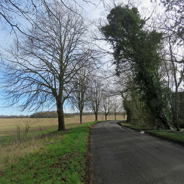
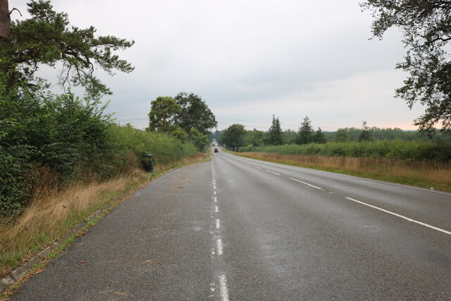
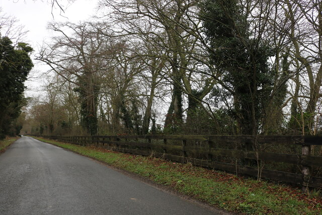
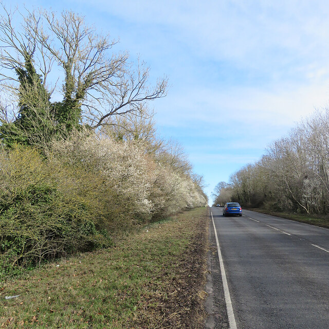
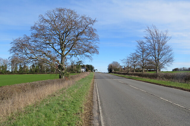
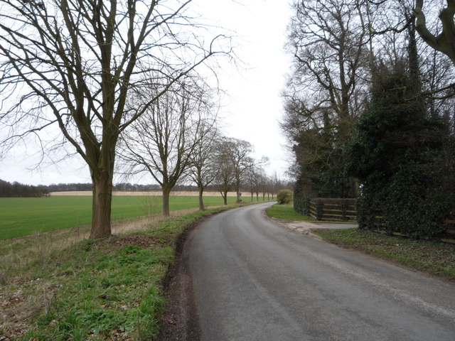
Carriage Drive Belt is a picturesque woodland area located in Cambridgeshire, England. It is known for its dense forest and scenic beauty, making it a popular destination for nature enthusiasts and outdoor adventurers.
Covering an area of approximately 100 acres, Carriage Drive Belt is home to a diverse range of plant and animal species. The woodland is dominated by towering oak and beech trees, creating a dense canopy that provides shade and shelter for a variety of wildlife. Visitors can spot squirrels, deer, and a plethora of bird species as they explore the forest trails.
The woodland is crisscrossed by a network of well-maintained paths, making it an ideal location for hiking, jogging, or leisurely walks. The main attraction of Carriage Drive Belt is the carriage drive itself, a wide path that stretches for several kilometers and offers stunning views of the surrounding landscape.
Along the way, visitors can enjoy the peaceful ambiance of the forest, with the gentle rustling of leaves and the chirping of birds as their constant companions. The woodland is also home to several picnic spots, providing the perfect opportunity to relax and enjoy a meal amidst nature.
Carriage Drive Belt is easily accessible, with ample parking facilities available for visitors. The woodland is open throughout the year and is particularly popular during the spring and summer months when the forest is in full bloom. It offers a tranquil escape from the hustle and bustle of city life, allowing visitors to reconnect with nature and enjoy the beauty of the Cambridgeshire countryside.
If you have any feedback on the listing, please let us know in the comments section below.
Carriage Drive Belt Images
Images are sourced within 2km of 52.21386/0.31552025 or Grid Reference TL5859. Thanks to Geograph Open Source API. All images are credited.


Carriage Drive Belt is located at Grid Ref: TL5859 (Lat: 52.21386, Lng: 0.31552025)
Administrative County: Cambridgeshire
District: East Cambridgeshire
Police Authority: Cambridgeshire
What 3 Words
///published.view.verdict. Near Bottisham, Cambridgeshire
Nearby Locations
Related Wikis
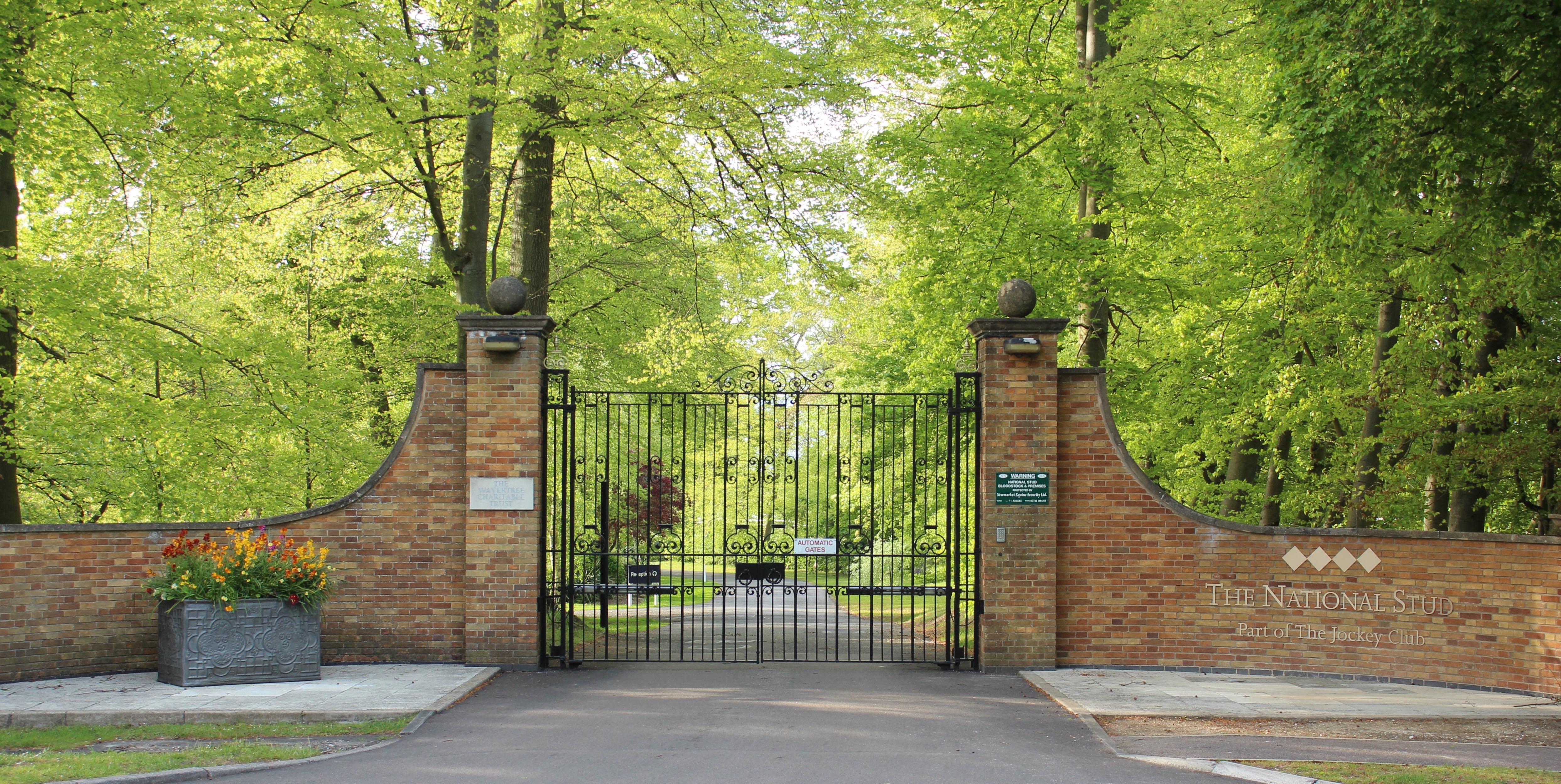
The National Stud
The National Stud is a United Kingdom Thoroughbred horse breeding farm located two miles from Newmarket. The Stud originated in 1916 as a result of a gift...

Six Mile Bottom
Six Mile Bottom is a hamlet within the parish of Little Wilbraham, near Cambridge in England. == Etymology == The hamlet was named in 1801, deriving its...

Swaffham Bulbeck
Swaffham Bulbeck is a small village in East Cambridgeshire, England. Swaffham Bulbeck is located about 8 miles (13 km) from the city of Cambridge, and...

Six Mile Bottom railway station
Six Mile Bottom railway station is a disused railway station on the Ipswich to Cambridge line between Dullingham and Fulbourn. It served the village of...

Devil's Dyke, Cambridgeshire
Devil's Dyke or Devil's Ditch is a linear earthen barrier, thought to be of Anglo-Saxon origin, in eastern Cambridgeshire and Suffolk. It runs for 11 kilometres...

Bottisham Hall
Bottisham Hall is a country house in Bottisham, Cambridgeshire, England. Built in 1797 for the Reverend George Leonard Jenyns to replace the family's previous...

Little Wilbraham
Little Wilbraham is a village in Cambridgeshire, England, 6 miles (10 km) east of Cambridge between the A1303 and the A11. It is in the district of South...

Dullingham railway station
Dullingham is a railway station that serves the village of Dullingham in Cambridgeshire, England. It is about 1 mile (1.6 km) north-west of the centre...
Related Videos

1 week at British racing school in new market.
I signed up for the transition to racing course in new market at British racing school. It was amazing I learnt so much there.
Nearby Amenities
Located within 500m of 52.21386,0.31552025Have you been to Carriage Drive Belt?
Leave your review of Carriage Drive Belt below (or comments, questions and feedback).