Green Lane Belt

Wood, Forest in Cambridgeshire East Cambridgeshire

England

Green Lane Belt

On the way to Dullingham This lane leads from the A1304 between Six Mile Bottom and Newmarket to Dullingham and on to Stetchworth. Gran's Plantation is in the middle distance to the left of centre.
On the way to Dullingham Credit: John Sutton

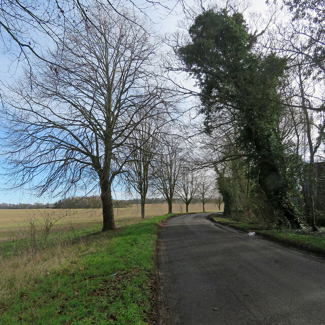
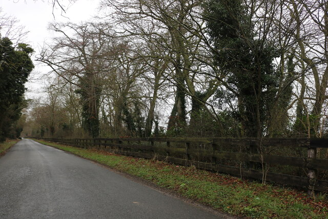
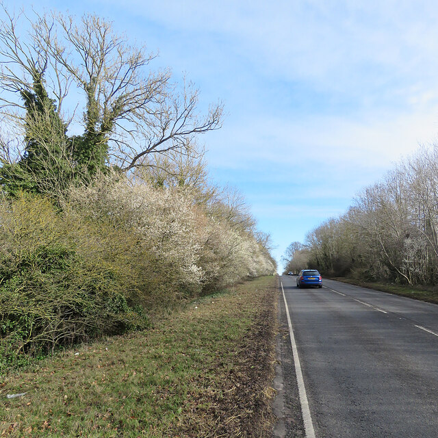
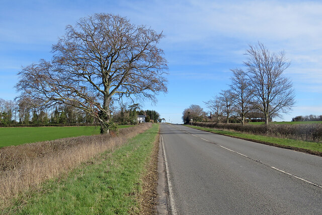
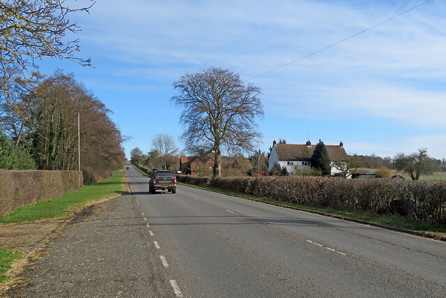
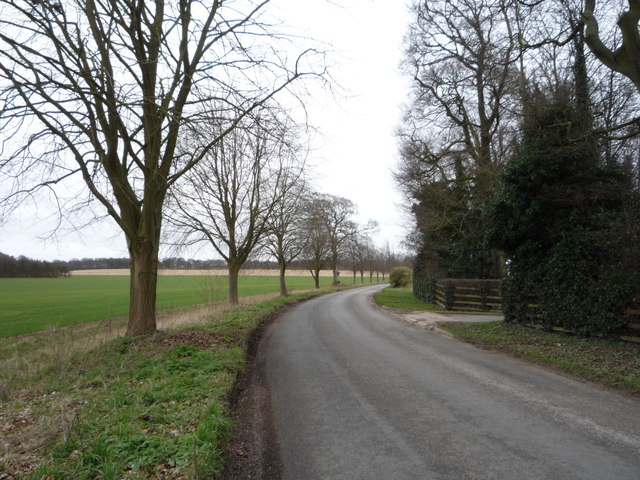
Green Lane Belt is a picturesque woodland area situated in Cambridgeshire, England. Covering a vast expanse of land, it is known for its lush greenery and dense forest. The area is a popular destination for nature lovers, hikers, and outdoor enthusiasts.

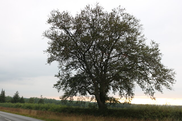
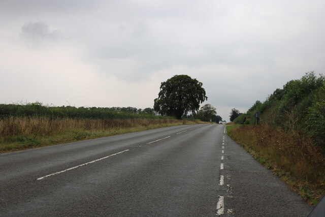
The woodland in Green Lane Belt is characterized by a diverse range of tree species, including oak, beech, birch, and pine. These trees provide a rich habitat for various wildlife, such as deer, rabbits, birds, and squirrels. The forest is not only visually stunning, but it also offers a serene and tranquil atmosphere, making it an ideal escape from the hustle and bustle of city life.

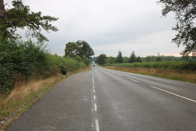
Green Lane Belt is crisscrossed by numerous walking trails, which allow visitors to explore the beauty of the woodland at their own pace. These paths wind through the forest, offering glimpses of stunning vistas, secluded clearings, and bubbling streams. The area is also home to several picnic spots, where visitors can relax and enjoy a meal amidst nature's beauty.

In addition to its natural splendor, Green Lane Belt also holds historical significance. The woodland is believed to have been a part of the ancient hunting grounds of the local nobility, dating back centuries. This rich history adds an additional layer of intrigue to the area, making it an attractive destination for history enthusiasts.

Overall, Green Lane Belt in Cambridgeshire is a haven for nature lovers, offering a perfect blend of scenic beauty, wildlife, and historical significance. Whether one seeks solitude, adventure, or simply a chance to reconnect with nature, this woodland area provides an ideal setting.

If you have any feedback on the listing, please let us know in the comments section below.

Green Lane Belt Images

Images are sourced within 2km of 52.211916/0.31468722 or Grid Reference TL5859. Thanks to Geograph Open Source API. All images are credited.

On the way to Dullingham This lane leads from the A1304 between Six Mile Bottom and Newmarket to Dullingham and on to Stetchworth. Gran's Plantation is in the middle distance to the left of centre.
On the way to Dullingham
This lane leads from the A1304 between Six Mile Bottom and Newmarket to Dullingham and on to Stetchworth. Gran's Plantation is in the middle distance to the left of centre.
Layby on London Road, Six Mile Bottom
Tree on London Road, Six Mile Bottom
London Road, Six Mile Bottom
Swaffham Heath Road near Six Mile Bottom
A11 northbound view, approaching Heath Road bridge
Early blossom by the A1304 The road from Six Mile Bottom to Newmarket (ahead) on a fine March morning.
Early blossom by the A1304
The road from Six Mile Bottom to Newmarket (ahead) on a fine March morning.
On the A1304 in early March The road from the A11 near Six Mile Bottom to Newmarket (ahead).
On the A1304 in early March
The road from the A11 near Six Mile Bottom to Newmarket (ahead).
On the way to Newmarket The A1304 north-east of Six Mile Bottom.
On the way to Newmarket
The A1304 north-east of Six Mile Bottom.
Young crop field near Hare Park
Minor road towards Dullingham  Heading east.
Minor road towards Dullingham
Heading east.
Station Road Heading away from Dullingham station.
Station Road
Heading away from Dullingham station.
Harvested crop Nice to see an area of land round here producing something, vast areas are used for horse racing, training and breeding.
Harvested crop
Nice to see an area of land round here producing something, vast areas are used for horse racing, training and breeding.
Swaffham Heath Road
Swaffham Heath Road
A14 Newmarket by-pass Taken whilst immobile in traffic: for some years at this time, works on the central reservation barriers on the Newmarket by-pass had led to lane closures, and congestion at times of peak traffic.
A14 Newmarket by-pass
Taken whilst immobile in traffic: for some years at this time, works on the central reservation barriers on the Newmarket by-pass had led to lane closures, and congestion at times of peak traffic.
Cross Here Looking towards Newmarket on the A1303 at X-Roads with the Swaffham Bulbeck - Stetchworth Road
Cross Here
Looking towards Newmarket on the A1303 at X-Roads with the Swaffham Bulbeck - Stetchworth Road
A14 West This is looking west along the A14. Taken from the A1303, from beside the motorway bridge
A14 West
This is looking west along the A14. Taken from the A1303, from beside the motorway bridge
A14 East Taken from the A1303 bridge as it goes over the A14
A14 East
Taken from the A1303 bridge as it goes over the A14
Show me another place!

Green Lane Belt is located at Grid Ref: TL5859 (Lat: 52.211916, Lng: 0.31468722)

Administrative County: Cambridgeshire

District: East Cambridgeshire

Police Authority: Cambridgeshire

What 3 Words

///backswing.page.jaws. Near Bottisham, Cambridgeshire

Related Wikis

Six Mile Bottom

Six Mile Bottom is a hamlet within the parish of Little Wilbraham, near Cambridge in England. == Etymology == The hamlet was named in 1801, deriving its...
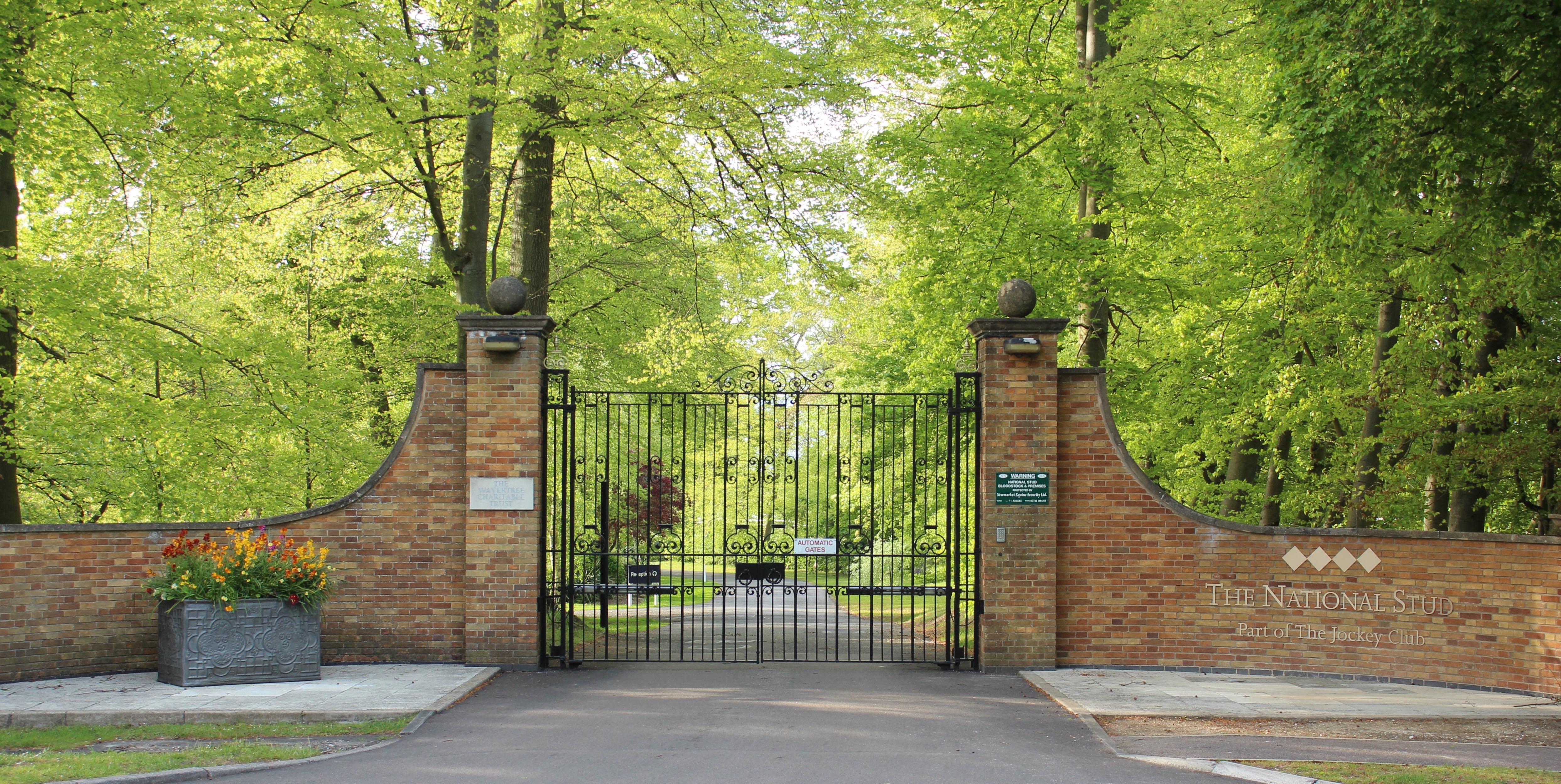
The National Stud

The National Stud is a United Kingdom Thoroughbred horse breeding farm located two miles from Newmarket. The Stud originated in 1916 as a result of a gift...

Six Mile Bottom railway station

Six Mile Bottom railway station is a disused railway station on the Ipswich to Cambridge line between Dullingham and Fulbourn. It served the village of...

Swaffham Bulbeck

Swaffham Bulbeck is a small village in East Cambridgeshire, England. Swaffham Bulbeck is located about 8 miles (13 km) from the city of Cambridge, and...

Little Wilbraham

Little Wilbraham is a village in Cambridgeshire, England, 6 miles (10 km) east of Cambridge between the A1303 and the A11. It is in the district of South...

Bottisham Hall

Bottisham Hall is a country house in Bottisham, Cambridgeshire, England. Built in 1797 for the Reverend George Leonard Jenyns to replace the family's previous...

Great Wilbraham

Great Wilbraham is a small village situated in a rural area some seven miles (11 km) to the east of Cambridge, between the edge of an area of low-lying...

Dullingham railway station

Dullingham is a railway station that serves the village of Dullingham in Cambridgeshire, England. It is about 1 mile (1.6 km) north-west of the centre...

Nearby Amenities

Located within 500m of 52.211916,0.31468722
Parking
Access: yes
Fee: no
Parking: street_side
Lat/Long: 52.211836/0.3077648
Phone
Check Date: 2021-06-04
Emergency: phone
Lat/Long: 52.2116664/0.3076494
Power: pole
Lat/Long: 52.211926/0.3216507
Power: pole
Lat/Long: 52.2148118/0.3163185
Power: pole
Lat/Long: 52.2144075/0.3170347
Power: pole
Lat/Long: 52.2138027/0.3181531
Power: pole
Lat/Long: 52.2125536/0.3204974
Power: pole
Lat/Long: 52.2131815/0.3193333
Power: pole
Lat/Long: 52.2089519/0.3163278
Power: pole
Lat/Long: 52.2085303/0.3175334
Power: pole
Lat/Long: 52.2098865/0.3138562
Power: pole
Lat/Long: 52.2101265/0.3133385
Parking
Access: yes
Fee: no
Parking: street_side
Lat/Long: 52.2118639/0.308209
Phone
Check Date: 2021-06-04
Emergency: phone
Lat/Long: 52.2115993/0.3080572
Power: pole
Lat/Long: 52.216037/0.3169365
The data included in this document is from www.openstreetmap.org. The data is made available under ODbL.

Have you been to Green Lane Belt?

Leave your review of Green Lane Belt below (or comments, questions and feedback).