Coldthorn Wood
Wood, Forest in Sussex Wealden
England
Coldthorn Wood
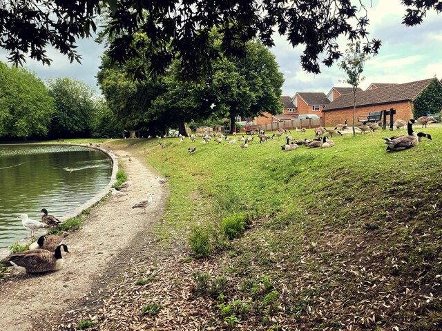
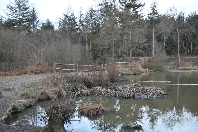
Coldthorn Wood is a stunning forest located in Sussex, England. Covering an area of approximately 100 acres, it is known for its picturesque beauty and diverse wildlife. The wood is situated near the village of Coldthorn, surrounded by rolling hills and meadows, creating a tranquil and peaceful atmosphere.
The woodland is predominantly made up of deciduous trees such as oak, beech, and birch, which create a rich canopy overhead. This provides a habitat for a wide range of bird species, including woodpeckers, thrushes, and various songbirds. Additionally, the forest is home to several mammals such as badgers, foxes, and deer, whose presence adds to the natural charm of the wood.
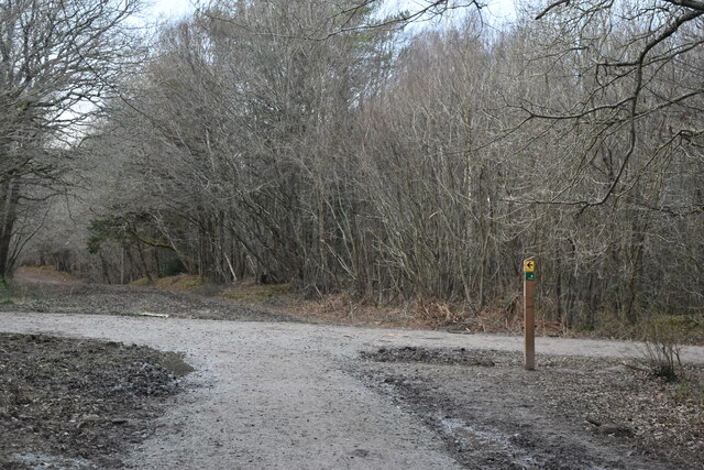
Coldthorn Wood offers a network of well-maintained footpaths and trails, making it an ideal destination for nature enthusiasts and hikers. The paths wind through the woods, allowing visitors to explore the different sections and discover hidden gems along the way, such as ancient trees and vibrant wildflowers.
The wood is also known for its seasonal beauty. In spring, the forest floor comes alive with a carpet of bluebells, creating a breathtaking sight. During autumn, the trees transform into a vibrant display of red, orange, and gold, attracting photographers and nature lovers from far and wide.
Overall, Coldthorn Wood is a captivating destination for those seeking a peaceful retreat in nature. Its diverse flora and fauna, well-maintained trails, and scenic beauty make it a must-visit location for anyone exploring the Sussex countryside.
If you have any feedback on the listing, please let us know in the comments section below.
Coldthorn Wood Images
Images are sourced within 2km of 50.848526/0.24728803 or Grid Reference TQ5807. Thanks to Geograph Open Source API. All images are credited.


Coldthorn Wood is located at Grid Ref: TQ5807 (Lat: 50.848526, Lng: 0.24728803)
Administrative County: East Sussex
District: Wealden
Police Authority: Sussex
What 3 Words
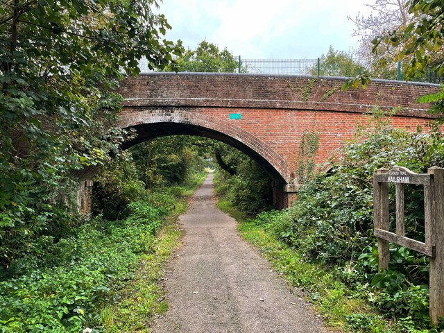
///singles.overlaps.dial. Near Hailsham, East Sussex
Nearby Locations
Related Wikis

Downwash Ditch
Downwash Ditch is a 1.4-kilometre (0.87 mi) long river (brook) and drainage ditch of the Pevensey Levels in the civil parish of Hailsham, Wealden District...

St Wilfrid's Church, Hailsham
St Wilfrid's Church is a Roman Catholic church serving the town of Hailsham in the Wealden district of East Sussex, England. The present building was...

Hailsham Town F.C.
Hailsham Town Football Club is a football club based in Hailsham, East Sussex, England. They are currently members of the Southern Combination Division...
Otham Feed
Otham Feed is a minor, 532-metre (1,745 ft) long river (brook) and drainage ditch of the Pevensey Levels in the civil parish of Westham, Wealden District...

Hailsham railway station
Hailsham Railway Station was on the Cuckoo Line between Polegate and Hellingly serving the town of Hailsham. Originally built in 1849 by the London, Brighton...
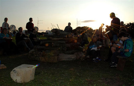
Out of the Ordinary Festival
The Out of the Ordinary Festival was an annual family- and eco-friendly music festival near Hailsham in the Sussex countryside. From 2007 to 2013 it celebrated...
Arlington Stadium, Hailsham
Arlington Stadium is a sports stadium on Arlington Road West, Hailsham, East Sussex. The stadium is mainly used for Stock car racing and was formerly used...
Holm Sewer
Holm Sewer is a minor river (brook) and drainage ditch of the Pevensey Levels in Hailsham, Wealden District of East Sussex, England. A tributary to Marland...
Nearby Amenities
Located within 500m of 50.848526,0.24728803Have you been to Coldthorn Wood?
Leave your review of Coldthorn Wood below (or comments, questions and feedback).