Forty Acre Belt
Wood, Forest in Cambridgeshire South Cambridgeshire
England
Forty Acre Belt
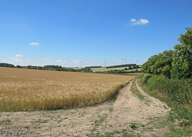
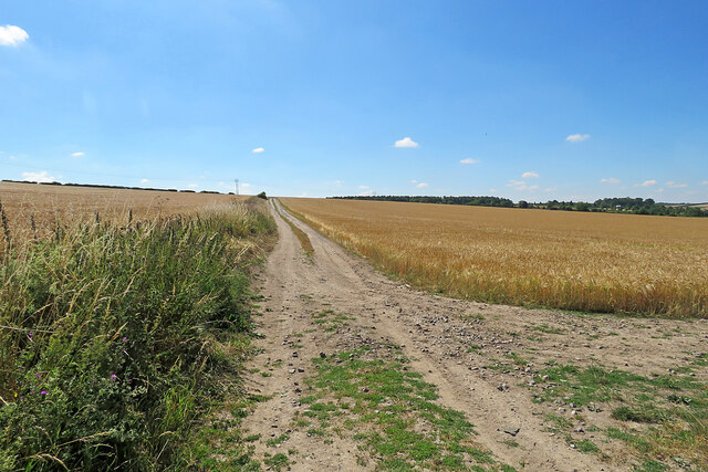
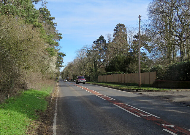
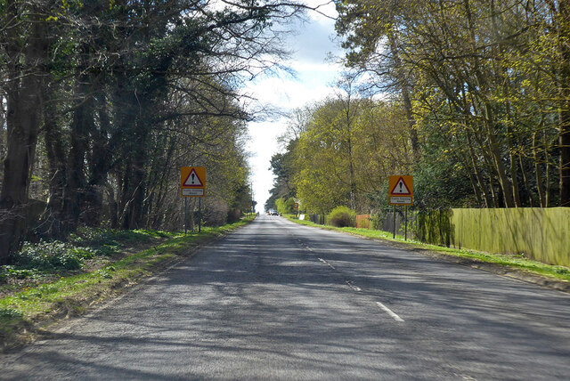
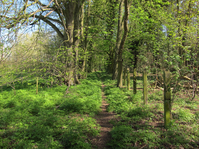
Forty Acre Belt is a wood located in Cambridgeshire, England. Covering an area of approximately 40 acres, it is a thriving forest that offers a tranquil and picturesque landscape for visitors to enjoy. The wood is situated in a rural setting, providing a peaceful escape from the hustle and bustle of city life.
The forest is predominantly composed of deciduous trees, including oak, birch, and beech, which provide a vibrant display of colors throughout the seasons. The dense foliage and tall trees create a cool and shaded environment, making it an ideal spot for leisurely walks or picnics on hot summer days.
Forty Acre Belt is known for its diverse wildlife, with various species of birds, mammals, and insects calling it their home. Birdwatchers can spot common woodland birds, such as woodpeckers, owls, and thrushes, while lucky visitors may even catch a glimpse of elusive creatures like deer or foxes.
The wood is well-maintained, with clearly marked trails and footpaths that allow visitors to explore its enchanting surroundings. The forest also serves as a popular recreational area, attracting hikers, nature enthusiasts, and families seeking outdoor activities. The peaceful atmosphere and stunning natural beauty make Forty Acre Belt a popular destination for photography and artists seeking inspiration.
Overall, Forty Acre Belt is a charming woodland in Cambridgeshire, offering a serene and captivating experience for all who venture into its leafy depths.
If you have any feedback on the listing, please let us know in the comments section below.
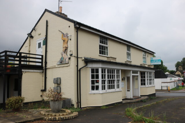
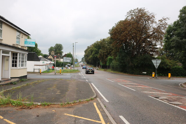
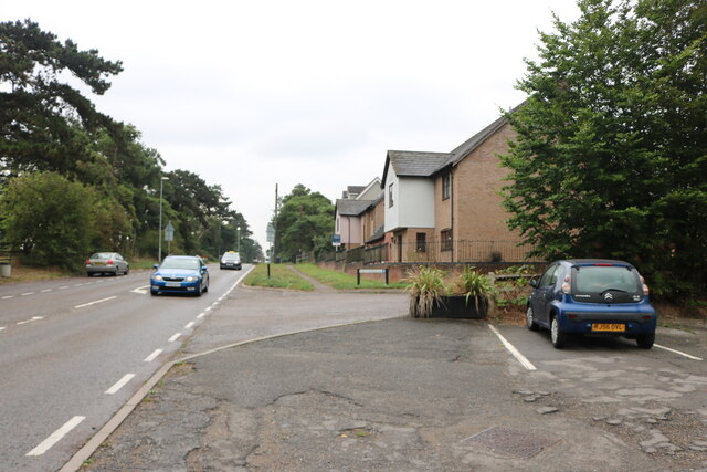
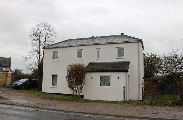
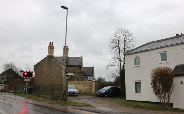
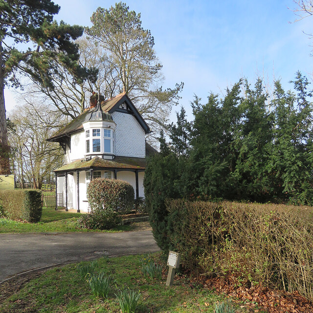
Forty Acre Belt Images
Images are sourced within 2km of 52.176324/0.31150755 or Grid Reference TL5855. Thanks to Geograph Open Source API. All images are credited.


Forty Acre Belt is located at Grid Ref: TL5855 (Lat: 52.176324, Lng: 0.31150755)
Administrative County: Cambridgeshire
District: South Cambridgeshire
Police Authority: Cambridgeshire
What 3 Words
///glares.signature.annoys. Near Balsham, Cambridgeshire
Nearby Locations
Related Wikis

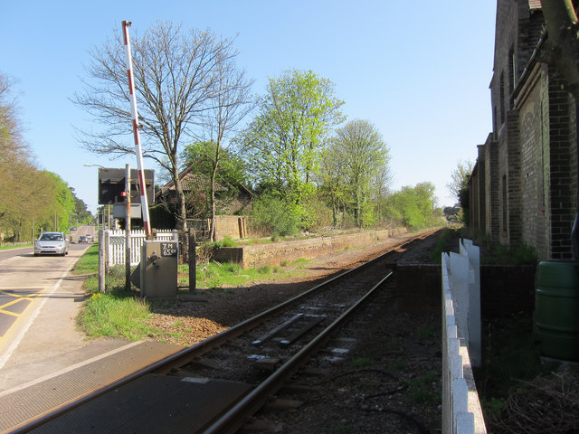
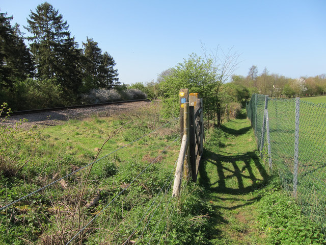
Six Mile Bottom railway station
Six Mile Bottom railway station is a disused railway station on the Ipswich to Cambridge line between Dullingham and Fulbourn. It served the village of...

Six Mile Bottom
Six Mile Bottom is a hamlet within the parish of Little Wilbraham, near Cambridge in England. == Etymology == The hamlet was named in 1801, deriving its...
Cambridgeshire Lodes
The Cambridgeshire Lodes are a series of man-made waterways, believed to be Roman in origin, located in the county of Cambridgeshire, England. Bottisham...

Fleam Dyke
Fleam Dyke is a linear earthwork between Fulbourn and Balsham in Cambridgeshire, initiated at some timepoint between AD 330 and AD 510. It is three miles...

Great Wilbraham
Great Wilbraham is a small village situated in a rural area some seven miles (11 km) to the east of Cambridge, between the edge of an area of low-lying...

Shug Monkey
In the folklore of Cambridgeshire, the Shug Monkey is a creature that shares features of a dog and monkey, which reportedly haunted Slough Hill Lane (a...

Westley Waterless
Westley Waterless is a small village and civil parish in East Cambridgeshire, England, 5 miles south west of Newmarket. == History == The parish of Westley...
Great Wilbraham Preceptory
Great Wilbraham Preceptory is a preceptory in Great and Little Wilbraham, Cambridgeshire. Much of the Church of Saint Nicholas at Great Wilbraham dates...
Nearby Amenities
Located within 500m of 52.176324,0.31150755Have you been to Forty Acre Belt?
Leave your review of Forty Acre Belt below (or comments, questions and feedback).