Chilly Hill

Hill, Mountain in Cambridgeshire South Cambridgeshire

England

Chilly Hill

House on London Road, Six Mile Bottom
House on London Road, Six Mile Bottom Credit: David Howard

Chilly Hill is a small hill located in Cambridgeshire, England. Situated in the eastern part of the county, it is known for its picturesque surroundings and panoramic views. Despite its name, the hill does not reach the height of a typical mountain but still provides an elevated vantage point for visitors to enjoy.

Covered in lush greenery, Chilly Hill offers a peaceful and serene environment. It is a popular spot for nature lovers and hikers, who can explore the surrounding countryside and take in the breathtaking vistas from the top of the hill. The hill is easily accessible by foot or by car, with parking facilities available nearby.

At the summit of Chilly Hill, there is a small viewing platform that allows visitors to fully appreciate the beauty of the surrounding landscape. On a clear day, one can see for miles, taking in the rolling hills, meandering rivers, and charming villages that dot the countryside.

The area around Chilly Hill is also home to a diverse range of wildlife, making it a haven for birdwatchers and nature enthusiasts. It is not uncommon to spot various species of birds, rabbits, and other small animals while exploring the hill.

Overall, Chilly Hill offers a tranquil retreat for those seeking to escape the hustle and bustle of city life. Whether it is for a leisurely hike, a picnic, or simply to enjoy the stunning views, this charming hill in Cambridgeshire is a hidden gem worth exploring.

If you have any feedback on the listing, please let us know in the comments section below.
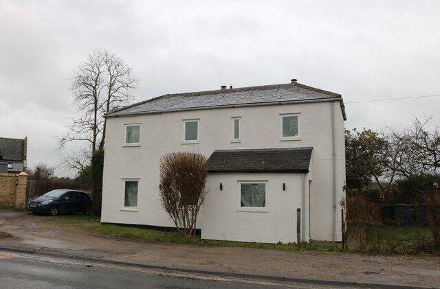
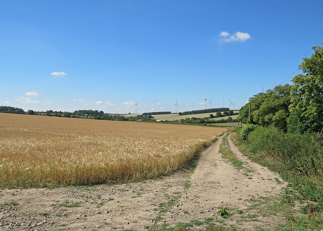
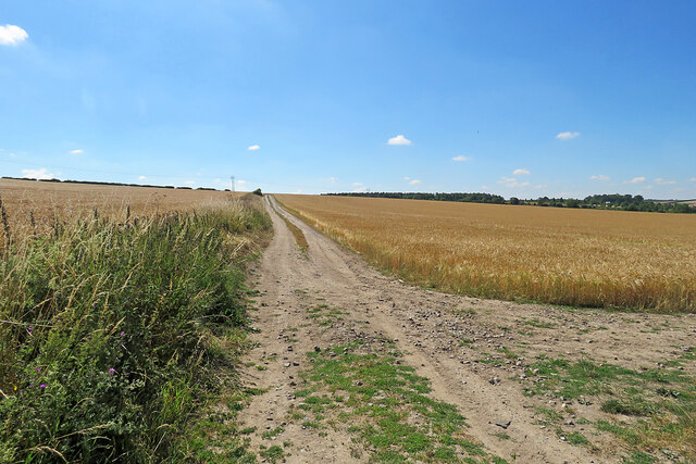
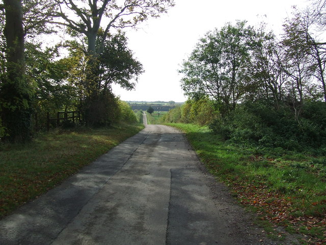
Chilly Hill Images

Images are sourced within 2km of 52.170598/0.31871315 or Grid Reference TL5855. Thanks to Geograph Open Source API. All images are credited.

House on London Road, Six Mile Bottom
The road to Six Mile Bottom This is the road from West Wratting to Six Mile Bottom, near Lark Hall. The signpost on the right points along a path which cuts a corner and leads to the Weston Colville road (see <a href="https://www.geograph.org.uk/photo/7221136">TL5854 : Footpath through barley</a>).
The road to Six Mile Bottom
This is the road from West Wratting to Six Mile Bottom, near Lark Hall. The signpost on the right points along a path which cuts a corner and leads to the Weston Colville road (see TL5854 : Footpath through barley).
Barley and turbines Looking towards Lark Hall Corner and, on the skyline, some of the turbines of Wadlow Wind Farm on a fine July morning.
Barley and turbines
Looking towards Lark Hall Corner and, on the skyline, some of the turbines of Wadlow Wind Farm on a fine July morning.
Footpath through barley The start, near Lark Hall, of a path which follows a farm track, cutting a corner and leading to the Weston Colville road.
Footpath through barley
The start, near Lark Hall, of a path which follows a farm track, cutting a corner and leading to the Weston Colville road.
Icknield Way This small part of the Icknield Way shares part of a minor country road near to Weston Colville, Cambridgeshire.
Icknield Way
This small part of the Icknield Way shares part of a minor country road near to Weston Colville, Cambridgeshire.
Signs Footpath sign and marker signs for the Icknield Way near to Weston Colville, Cambridgeshire.
Signs
Footpath sign and marker signs for the Icknield Way near to Weston Colville, Cambridgeshire.
Part Of The Icknield Way Looking west along part of the Icknield Way near to Weston Colville, Cambridgeshire.
Part Of The Icknield Way
Looking west along part of the Icknield Way near to Weston Colville, Cambridgeshire.
Country Road Country road near to Westley Waterless, Cambridgeshire.
Country Road
Country road near to Westley Waterless, Cambridgeshire.
Small Footbridge Small footbridge near to Weston Colville, Cambridgeshire.
Small Footbridge
Small footbridge near to Weston Colville, Cambridgeshire.
Icknield Way Trail Part of the long distance route following the chalk outcrop from the Chilterns into East Anglia.
Icknield Way Trail
Part of the long distance route following the chalk outcrop from the Chilterns into East Anglia.
Minor road towards Dullingham Heading north east.
Minor road towards Dullingham
Heading north east.
The Icknield Way Trail Looking south east.
The Icknield Way Trail
Looking south east.
Heading north east towards Dullingham
Large field near Chalk Pit Farm
Ploughed field by Grange Road
Grange Road The grange was Carlton Grange, now gone.
Grange Road
The grange was Carlton Grange, now gone.
Grange Road The grange was Carlton Grange, now gone. It was down a drive about 120 m ahead to the left, the site is now woodland.
Grange Road
The grange was Carlton Grange, now gone. It was down a drive about 120 m ahead to the left, the site is now woodland.
Drive to former Carlton Grange A large farmstead, now demolished and the site is wooded.
Drive to former Carlton Grange
A large farmstead, now demolished and the site is wooded.
Show me another place!

Chilly Hill is located at Grid Ref: TL5855 (Lat: 52.170598, Lng: 0.31871315)

Administrative County: Cambridgeshire

District: South Cambridgeshire

Police Authority: Cambridgeshire

What 3 Words

///midwinter.hunches.riverbank. Near Balsham, Cambridgeshire

Related Wikis

Six Mile Bottom railway station

Six Mile Bottom railway station is a disused railway station on the Ipswich to Cambridge line between Dullingham and Fulbourn. It served the village of...

Six Mile Bottom

Six Mile Bottom is a hamlet within the parish of Little Wilbraham, near Cambridge in England. == History == In the 1790s the only building at Six Mile...

Cambridgeshire Lodes

The Cambridgeshire Lodes are a series of man-made waterways, believed to be Roman in origin, located in the county of Cambridgeshire, England. Bottisham...

Shug Monkey

In the folklore of Cambridgeshire, the Shug Monkey is a creature that shares features of a dog and monkey, which reportedly haunted Slough Hill Lane (a...

West Wratting

West Wratting is a village and civil parish 10 miles southeast of Cambridge in Cambridgeshire. At 390 feet (120 m) above sea level, it can claim to be...

Weston Colville

Weston Colville is a village in South Cambridgeshire, 10 miles southeast of Cambridge and 6 miles south of Newmarket, close to the border with Suffolk...

Westley Waterless

Westley Waterless is a small village and civil parish in East Cambridgeshire, England, 5 miles south west of Newmarket. == History == The parish of Westley...

Fleam Dyke

Fleam Dyke is a linear earthwork between Fulbourn and Balsham in Cambridgeshire, initiated at some timepoint between AD 330 and AD 510. It is three miles...

Nearby Amenities

Located within 500m of 52.170598,0.31871315
Chilly Hill
Created By: Potlatch 0.10b
Natural: hill
Place: locality
Lat/Long: 52.1684034/0.3209319
Power: pole
Lat/Long: 52.1707276/0.3210817
Power: pole
Lat/Long: 52.1741221/0.3209529
Power: pole
Lat/Long: 52.1719386/0.3210066
Power: pole
Lat/Long: 52.17307/0.3209851
Power: pole
Lat/Long: 52.1674838/0.3205023
Power: pole
Lat/Long: 52.1663914/0.3198371
Power: pole
Lat/Long: 52.1675572/0.3142045
Power: pole
Lat/Long: 52.1684457/0.3137485
Power: pole
Lat/Long: 52.1698325/0.3124719
Power: pole
Lat/Long: 52.1704066/0.3116565
Power: pole
Lat/Long: 52.1692271/0.313357
The data included in this document is from www.openstreetmap.org. The data is made available under ODbL.

Have you been to Chilly Hill?

Leave your review of Chilly Hill below (or comments, questions and feedback).