Brick Kiln Wood

Wood, Forest in Sussex Wealden

England

Brick Kiln Wood

Mayfield Rd (A267) The A267 road is a 21 mile long road from Tunbridge Wells <a href="https://www.geograph.org.uk/photo/6669020">TQ5838 : A26, A267 junction</a> to Horsebridge.
Website: <span class="nowrap"><a title="http://www.sabre-roads.org.uk/wiki/index.php?title=A267" rel="nofollow ugc noopener" href="http://www.sabre-roads.org.uk/wiki/index.php?title=A267">Link</a><img style="margin-left:2px;" alt="External link" title="External link - shift click to open in new window" src="https://s1.geograph.org.uk/img/external.png" width="10" height="10"/></span>
Mayfield Rd (A267) Credit: N Chadwick

Brick Kiln Wood is a picturesque woodland located in Sussex, England. Spread across an area of approximately 50 hectares, this ancient forest is known for its diverse ecosystem and rich natural beauty. The wood is named after the brick kilns that were once used in the area for making bricks.

The woodland is primarily composed of mixed deciduous trees, including oak, ash, beech, and birch. These towering trees provide a dense canopy, creating a shaded and cool environment. The forest floor is covered in a thick carpet of moss, ferns, and wildflowers, adding to its enchanting appeal.

Brick Kiln Wood is home to a wide variety of wildlife. It is a haven for birdwatchers, as numerous species such as woodpeckers, owls, and songbirds can be spotted here. The wood is also inhabited by mammals like deer, foxes, and squirrels, which can often be seen darting through the trees.

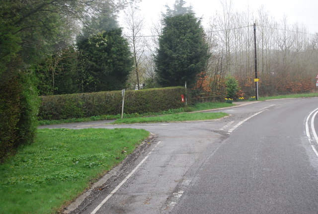
For nature enthusiasts and walkers, Brick Kiln Wood offers a network of well-maintained footpaths that meander through the forest, allowing visitors to explore its hidden corners. The wood is particularly captivating during spring when bluebells carpet the forest floor, creating a striking display of vibrant colors.

Managed by a local conservation organization, Brick Kiln Wood is carefully preserved to maintain its ecological balance. The wood serves as an important habitat for biodiversity and plays a crucial role in the local ecosystem.

With its tranquil ambiance, diverse flora and fauna, and stunning natural beauty, Brick Kiln Wood is a popular destination for nature lovers seeking a peaceful escape in the heart of Sussex.

If you have any feedback on the listing, please let us know in the comments section below.

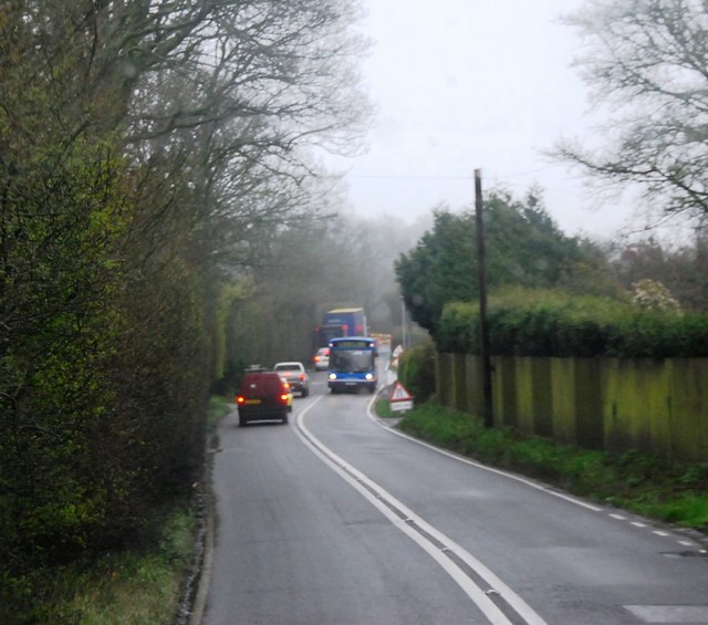
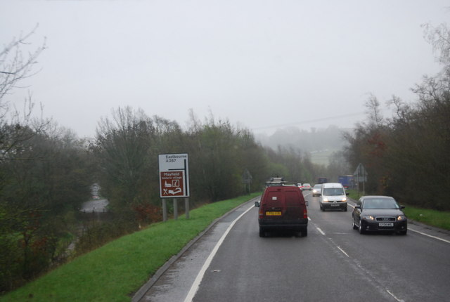
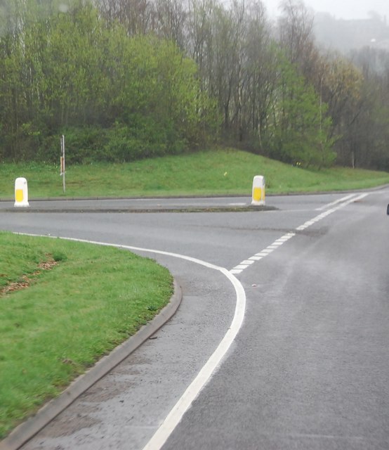
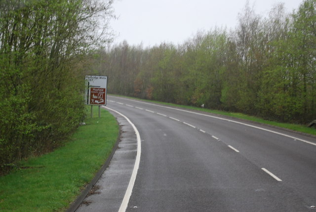
Brick Kiln Wood Images

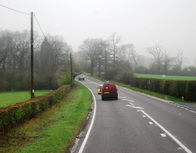
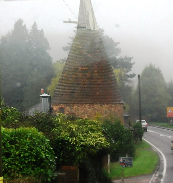
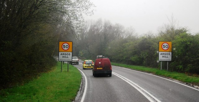
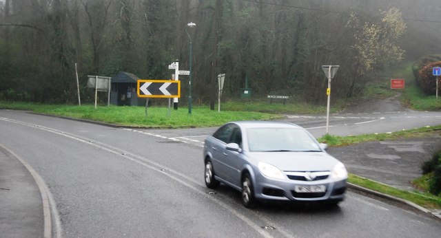
Images are sourced within 2km of 51.041521/0.25484668 or Grid Reference TQ5829. Thanks to Geograph Open Source API. All images are credited.

Mayfield Rd (A267) The A267 road is a 21 mile long road from Tunbridge Wells <a href="https://www.geograph.org.uk/photo/6669020">TQ5838 : A26, A267 junction</a> to Horsebridge.
Website: <span class="nowrap"><a title="http://www.sabre-roads.org.uk/wiki/index.php?title=A267" rel="nofollow ugc noopener" href="http://www.sabre-roads.org.uk/wiki/index.php?title=A267">Link</a><img style="margin-left:2px;" alt="External link" title="External link - shift click to open in new window" src="https://s1.geograph.org.uk/img/external.png" width="10" height="10"/></span>
Mayfield Rd (A267)
The A267 road is a 21 mile long road from Tunbridge Wells TQ5838 : A26, A267 junction to Horsebridge. Website: LinkExternal link
Gable Oast, Argos Hill Single round kiln oast house.
Gable Oast, Argos Hill
Single round kiln oast house.
Entering Argos Hill, A267 The A267 road is a 21 mile long road from Tunbridge Wells <a href="https://www.geograph.org.uk/photo/6669020">TQ5838 : A26, A267 junction</a> to Horsebridge.
Website: <span class="nowrap"><a title="http://www.sabre-roads.org.uk/wiki/index.php?title=A267" rel="nofollow ugc noopener" href="http://www.sabre-roads.org.uk/wiki/index.php?title=A267">Link</a><img style="margin-left:2px;" alt="External link" title="External link - shift click to open in new window" src="https://s1.geograph.org.uk/img/external.png" width="10" height="10"/></span>
Entering Argos Hill, A267
The A267 road is a 21 mile long road from Tunbridge Wells TQ5838 : A26, A267 junction to Horsebridge. Website: LinkExternal link
Mayfield Rd (A267) and Bicycle Arms Rd (B2101) junction, Argos Hill The A267 road is a 21 mile long road from Tunbridge Wells <a href="https://www.geograph.org.uk/photo/6669020">TQ5838 : A26, A267 junction</a> to Horsebridge.
Website: <span class="nowrap"><a title="http://www.sabre-roads.org.uk/wiki/index.php?title=A267" rel="nofollow ugc noopener" href="http://www.sabre-roads.org.uk/wiki/index.php?title=A267">Link</a><img style="margin-left:2px;" alt="External link" title="External link - shift click to open in new window" src="https://s1.geograph.org.uk/img/external.png" width="10" height="10"/></span>
Mayfield Rd (A267) and Bicycle Arms Rd (B2101) junction, Argos Hill
The A267 road is a 21 mile long road from Tunbridge Wells TQ5838 : A26, A267 junction to Horsebridge. Website: LinkExternal link
A267, Argos Hill
A267, Argos Hill
Approaching the Mayfield turn, A267 The A267 road is a 21 mile long road from Tunbridge Wells <a href="https://www.geograph.org.uk/photo/6669020">TQ5838 : A26, A267 junction</a> to Horsebridge.
Website: <span class="nowrap"><a title="http://www.sabre-roads.org.uk/wiki/index.php?title=A267" rel="nofollow ugc noopener" href="http://www.sabre-roads.org.uk/wiki/index.php?title=A267">Link</a><img style="margin-left:2px;" alt="External link" title="External link - shift click to open in new window" src="https://s1.geograph.org.uk/img/external.png" width="10" height="10"/></span>
Approaching the Mayfield turn, A267
The A267 road is a 21 mile long road from Tunbridge Wells TQ5838 : A26, A267 junction to Horsebridge. Website: LinkExternal link
Mayfield turn off, A267
Mayfield Bypass (A267) The A267 road is a 21 mile long road from Tunbridge Wells <a href="https://www.geograph.org.uk/photo/6669020">TQ5838 : A26, A267 junction</a> to Horsebridge.
Website: <span class="nowrap"><a title="http://www.sabre-roads.org.uk/wiki/index.php?title=A267" rel="nofollow ugc noopener" href="http://www.sabre-roads.org.uk/wiki/index.php?title=A267">Link</a><img style="margin-left:2px;" alt="External link" title="External link - shift click to open in new window" src="https://s1.geograph.org.uk/img/external.png" width="10" height="10"/></span>
Mayfield Bypass (A267)
The A267 road is a 21 mile long road from Tunbridge Wells TQ5838 : A26, A267 junction to Horsebridge. Website: LinkExternal link
Entering Argos Hill, A267 The A267 road is a 21 mile long road from Tunbridge Wells <a href="https://www.geograph.org.uk/photo/6669020">TQ5838 : A26, A267 junction</a> to Horsebridge.
Website: <span class="nowrap"><a title="http://www.sabre-roads.org.uk/wiki/index.php?title=A267" rel="nofollow ugc noopener" href="http://www.sabre-roads.org.uk/wiki/index.php?title=A267">Link</a><img style="margin-left:2px;" alt="External link" title="External link - shift click to open in new window" src="https://s1.geograph.org.uk/img/external.png" width="10" height="10"/></span>
Entering Argos Hill, A267
The A267 road is a 21 mile long road from Tunbridge Wells TQ5838 : A26, A267 junction to Horsebridge. Website: LinkExternal link
Police vans outside a Cottage in Argos Hill
Mayfield Rd (A267) and Bicycle Arms  Junction
Mayfield Rd (A267) and Bicycle Arms Junction
A267, Tunbridge Wells Rd The A267 road is a 21 mile long road from Tunbridge Wells <a href="https://www.geograph.org.uk/photo/6669020">TQ5838 : A26, A267 junction</a> to Horsebridge.
Website: <span class="nowrap"><a title="http://www.sabre-roads.org.uk/wiki/index.php?title=A267" rel="nofollow ugc noopener" href="http://www.sabre-roads.org.uk/wiki/index.php?title=A267">Link</a><img style="margin-left:2px;" alt="External link" title="External link - shift click to open in new window" src="https://s1.geograph.org.uk/img/external.png" width="10" height="10"/></span>
A267, Tunbridge Wells Rd
The A267 road is a 21 mile long road from Tunbridge Wells TQ5838 : A26, A267 junction to Horsebridge. Website: LinkExternal link
Tunbridge Wells Rd (A267) The A267 road is a 21 mile long road from Tunbridge Wells <a href="https://www.geograph.org.uk/photo/6669020">TQ5838 : A26, A267 junction</a> to Horsebridge.
Website: <span class="nowrap"><a title="http://www.sabre-roads.org.uk/wiki/index.php?title=A267" rel="nofollow ugc noopener" href="http://www.sabre-roads.org.uk/wiki/index.php?title=A267">Link</a><img style="margin-left:2px;" alt="External link" title="External link - shift click to open in new window" src="https://s1.geograph.org.uk/img/external.png" width="10" height="10"/></span>
Tunbridge Wells Rd (A267)
The A267 road is a 21 mile long road from Tunbridge Wells TQ5838 : A26, A267 junction to Horsebridge. Website: LinkExternal link
Tunbridge Wells Rd, Yew Tree Rd Junction
Turn off to Great Trodgers Farm, A267
Oast House at Old Place, Little Trodgers Lane, Mayfield Single round kiln oast house.
Oast House at Old Place, Little Trodgers Lane, Mayfield
Single round kiln oast house.
The Oast House, Old Palace Farm, Little Trodgers Lane, Mayfield Single round kiln oast house.
The Oast House, Old Palace Farm, Little Trodgers Lane, Mayfield
Single round kiln oast house.
Oast House at Yew Tree Farm, Yew Tree Lane, Town Row Single round kiln oast house. Stone built walls and weatherboarded stowage.  Cowl missing.
Oast House at Yew Tree Farm, Yew Tree Lane, Town Row
Single round kiln oast house. Stone built walls and weatherboarded stowage. Cowl missing.
Show me another place!

Brick Kiln Wood is located at Grid Ref: TQ5829 (Lat: 51.041521, Lng: 0.25484668)

Administrative County: East Sussex

District: Wealden

Police Authority: Sussex

What 3 Words

///tabs.siblings.diggers. Near Town Row, East Sussex

Related Wikis

Mayfield College

Mayfield College is a defunct Roman Catholic boys' boarding school founded as the Holy Trinity Orphanage For Boys in 1865–1866 by the American-born Dowager...

Argos Hill Mill, Mayfield

Argos Hill Mill is a grade II* listed post mill at Argos Hill, Mayfield, East Sussex, England As of 2017 it is in the process of restoration by the Argos...

Jameah Islameah School

Jameah Islameah School was an independent Islamic school in East Sussex. The school was located on a 54 acre site and had residential facilities to house...

St Joseph's College, Mark Cross

St Joseph's College was a Roman Catholic minor seminary in Mark Cross, outside Rotherfield in East Sussex. It was designed by Edward Pugin and the site...

Rotherfield and Mark Cross railway station

Rotherfield and Mark Cross (also Rotherfield) is the name of a closed station on the Eridge - Heathfield - Polegate railway (the Cuckoo Line) in East Sussex...

Walter's Mill, Mark Cross

Walter's Mill is a tower mill at Mark Cross, Sussex, England which has been converted to residential accommodation. == History == Walter's Mill was first...

Mayfield School, East Sussex

Mayfield School, previously St Leonards-Mayfield School, is an independent Catholic boarding and day school for girls aged 11 to 18. It is in the village...

St Dunstan's Church, Mayfield

St Dunstan's, Mayfield in Mayfield, East Sussex was founded in 960 CE by St Dunstan, who was then Archbishop of Canterbury. It is reported as being originally...

Nearby Amenities

Located within 500m of 51.041521,0.25484668
Post Box
Operator: Royal Mail
Post Box Type: lamp
Ref: TN6 233
Royal Cypher: EIIR
Royal Cypher Wikidata: Q33102113
Lat/Long: 51.0434966/0.2488226
The data included in this document is from www.openstreetmap.org. The data is made available under ODbL.

Have you been to Brick Kiln Wood?

Leave your review of Brick Kiln Wood below (or comments, questions and feedback).