Beehive Plantation
Wood, Forest in Sussex Eastbourne
England
Beehive Plantation
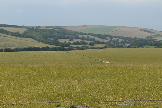
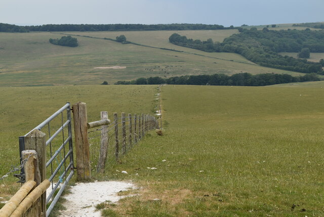
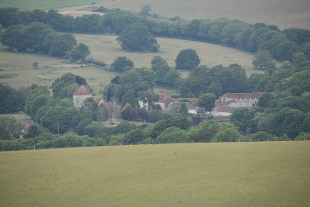
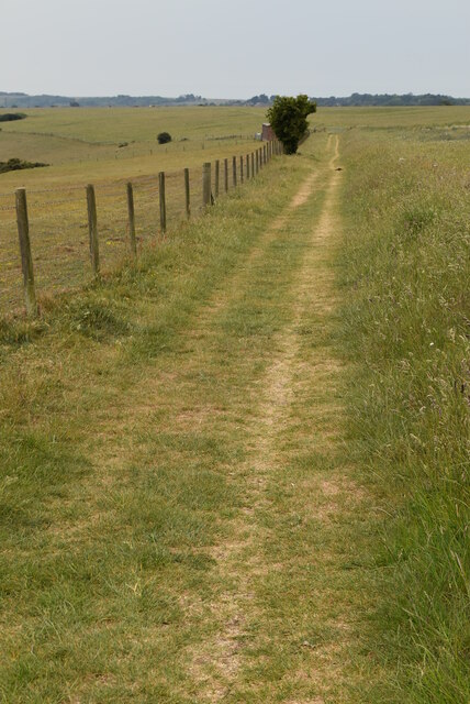
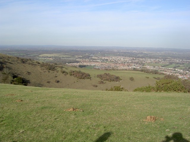
Beehive Plantation is a picturesque forest located in Sussex, England. Nestled within the county's rolling countryside, it spans over a vast area of woodland, offering visitors a serene and enchanting natural setting to explore.
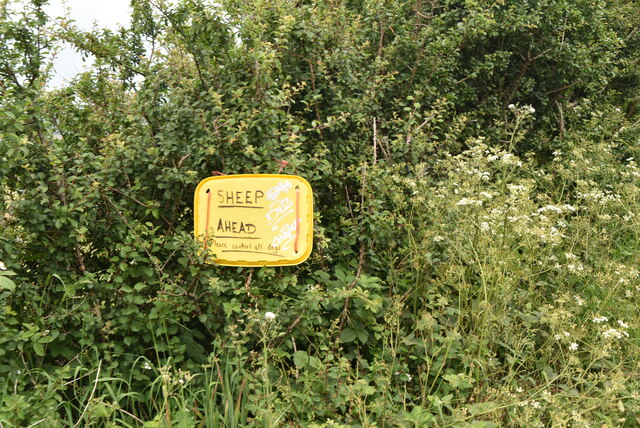
The plantation gets its name from the numerous beehives that dot the landscape, showcasing the area's rich biodiversity and serving as a testament to the importance of bees in the local ecosystem. This thriving habitat attracts a wide variety of wildlife, making it a popular destination for nature enthusiasts and birdwatchers.
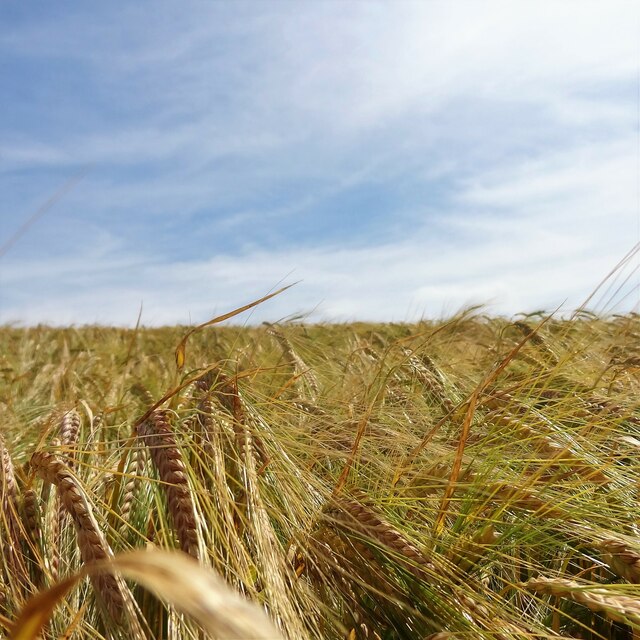
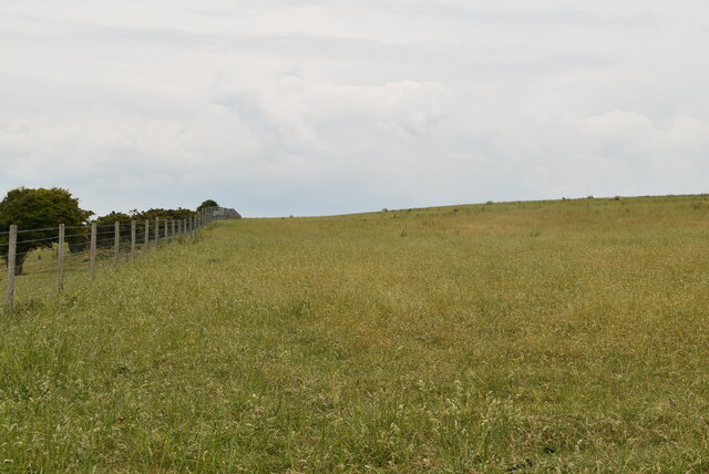
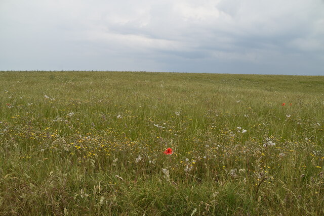
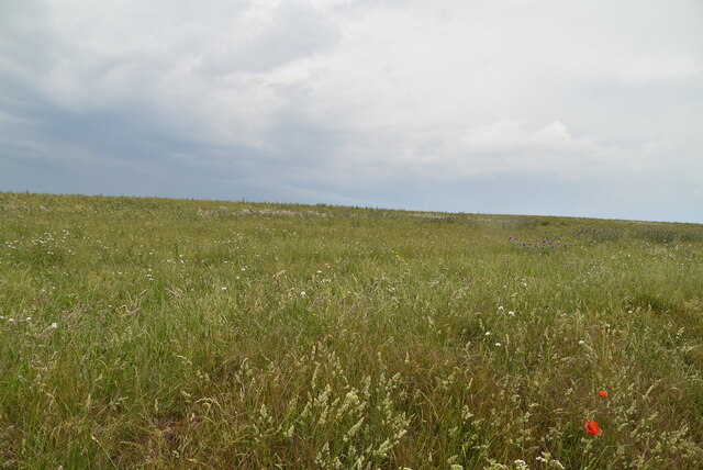
The woodland itself is a mix of broadleaf and coniferous trees, creating a diverse and vibrant environment. Towering oak, ash, and beech trees dominate the landscape, providing shelter and sustenance to an array of woodland creatures. In the spring, the forest floor is adorned with a colorful carpet of bluebells, creating a breathtaking sight for visitors.
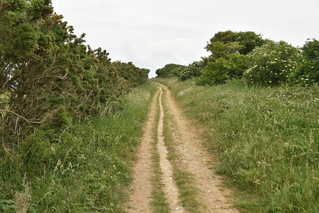
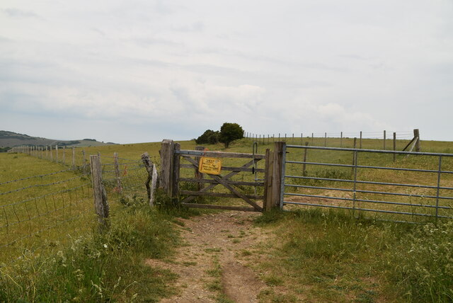
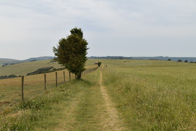
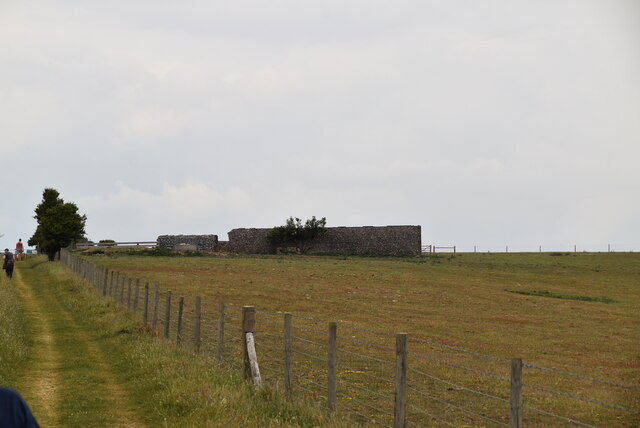
Several well-marked trails wind their way through Beehive Plantation, offering visitors the opportunity to explore the forest at their own pace. These pathways provide glimpses of hidden ponds, babbling brooks, and peaceful clearings, where visitors can pause and immerse themselves in the tranquility of the surroundings.
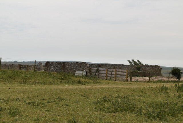
Managed by the local conservation authority, Beehive Plantation aims to preserve and protect this natural treasure. Regular maintenance work, such as tree planting and invasive species control, ensures the long-term sustainability of the woodland.
Overall, Beehive Plantation is a cherished natural gem, providing a sanctuary for wildlife and a place of solace for visitors seeking a peaceful retreat in the heart of Sussex's woodlands.
If you have any feedback on the listing, please let us know in the comments section below.
Beehive Plantation Images
Images are sourced within 2km of 50.792569/0.24104116 or Grid Reference TQ5801. Thanks to Geograph Open Source API. All images are credited.


Beehive Plantation is located at Grid Ref: TQ5801 (Lat: 50.792569, Lng: 0.24104116)
Administrative County: East Sussex
District: Eastbourne
Police Authority: Sussex
What 3 Words
///vote.teach.thank. Near Eastbourne, East Sussex
Nearby Locations
Related Wikis
More Radio Eastbourne
More Radio Eastbourne, formerly Sovereign FM, is an Independent Local Radio station serving Eastbourne, Hailsham, Polegate and surrounding areas. It is...
Willingdon Down
Willingdon Down is a 67.5-hectare (167-acre) biological Site of Special Scientific Interest west of Willingdon, a suburb of Eastbourne in East Sussex....

Combe Hill, East Sussex
Combe Hill is a causewayed enclosure, near Eastbourne in East Sussex, on the northern edge of the South Downs. It consists of an inner circuit of ditches...

The Hoo, Willingdon and Jevington
The Hoo is an Neoclassical country house in Willingdon, in the Wealden district of East Sussex, England. It was designed by Edwin Lutyens in 1902 for Alexander...
St Elisabeth's Church, Eastbourne
St Elisabeth's Church is a church in the Old Town area of Eastbourne, England. It was built in 1938 to the designs of local architects Stonham & Sons and...
Ratton School
Ratton School is a secondary school with academy status in Eastbourne, East Sussex, England. All of the communities are named after theatres in London...

Willingdon and Jevington
Willingdon and Jevington is one of the civil parishes in the Wealden District of East Sussex, England. The two villages lie one mile (1.6 km) south of...
Cavendish School, Eastbourne
The Cavendish School, commonly known as Cavendish School or Cavendish, is a coeducational All-through school with academy status, located in Eastbourne...
Nearby Amenities
Located within 500m of 50.792569,0.24104116Have you been to Beehive Plantation?
Leave your review of Beehive Plantation below (or comments, questions and feedback).