West Bank Wood
Wood, Forest in Kent Sevenoaks
England
West Bank Wood
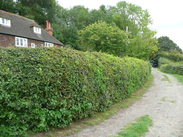
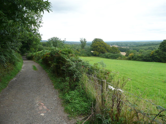
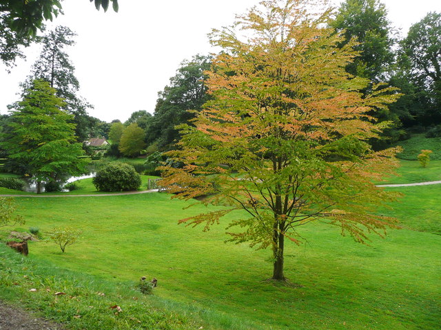
West Bank Wood, located in Kent, is a picturesque forest that spans over a vast area, covering approximately 200 acres. This woodland is nestled in the heart of the county, surrounded by lush greenery and rolling hills, offering visitors a tranquil and immersive experience in nature.
The woodland is predominantly composed of deciduous trees, including oak, beech, and birch trees, which create a diverse and vibrant canopy. These trees provide shelter and a habitat for numerous wildlife species, such as deer, foxes, and a wide variety of bird species, making it a haven for nature enthusiasts and birdwatchers.
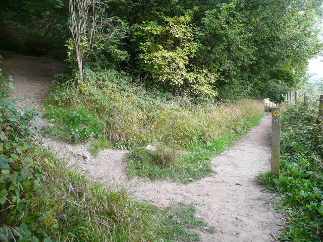
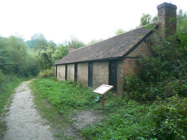
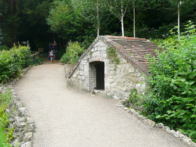
West Bank Wood is known for its well-maintained network of walking trails, allowing visitors to explore and appreciate the natural beauty at their own pace. These trails wind through the forest, offering breathtaking views of wildflowers, ancient trees, and a bubbling stream that meanders through the woodland.
The forest is also home to several picnic areas, making it an ideal spot for families and friends to gather and enjoy a relaxing day out. Additionally, there is a designated camping area for those seeking a more immersive experience, allowing visitors to spend the night under the starry sky, surrounded by the sounds of nature.
West Bank Wood is easily accessible, with ample parking facilities available for visitors. The forest is open year-round, offering different sights and experiences with the changing seasons. Whether one seeks a peaceful retreat, a chance to reconnect with nature, or an opportunity for outdoor activities, West Bank Wood in Kent is a must-visit destination.
If you have any feedback on the listing, please let us know in the comments section below.
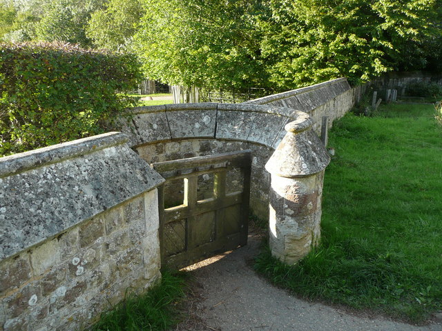
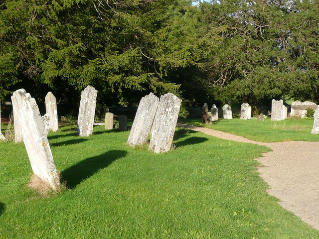
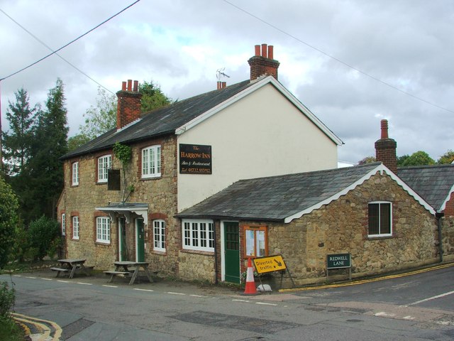
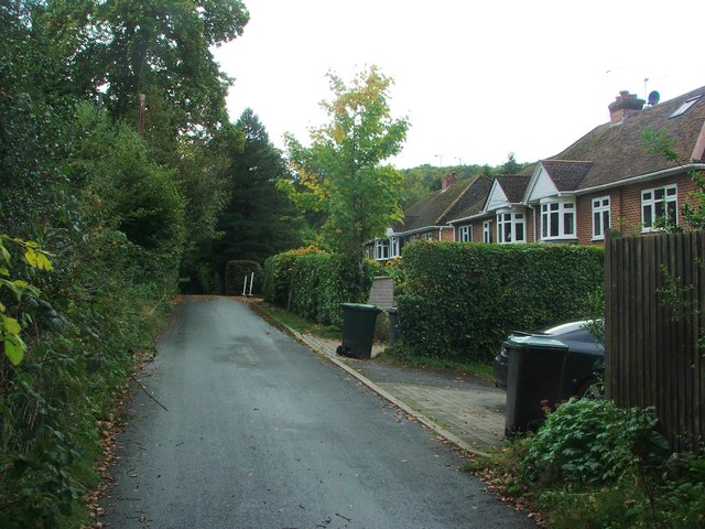
West Bank Wood Images
Images are sourced within 2km of 51.261903/0.26199009 or Grid Reference TQ5753. Thanks to Geograph Open Source API. All images are credited.


West Bank Wood is located at Grid Ref: TQ5753 (Lat: 51.261903, Lng: 0.26199009)
Administrative County: Kent
District: Sevenoaks
Police Authority: Kent
What 3 Words
///pass.secret.props. Near Borough Green, Kent
Nearby Locations
Related Wikis
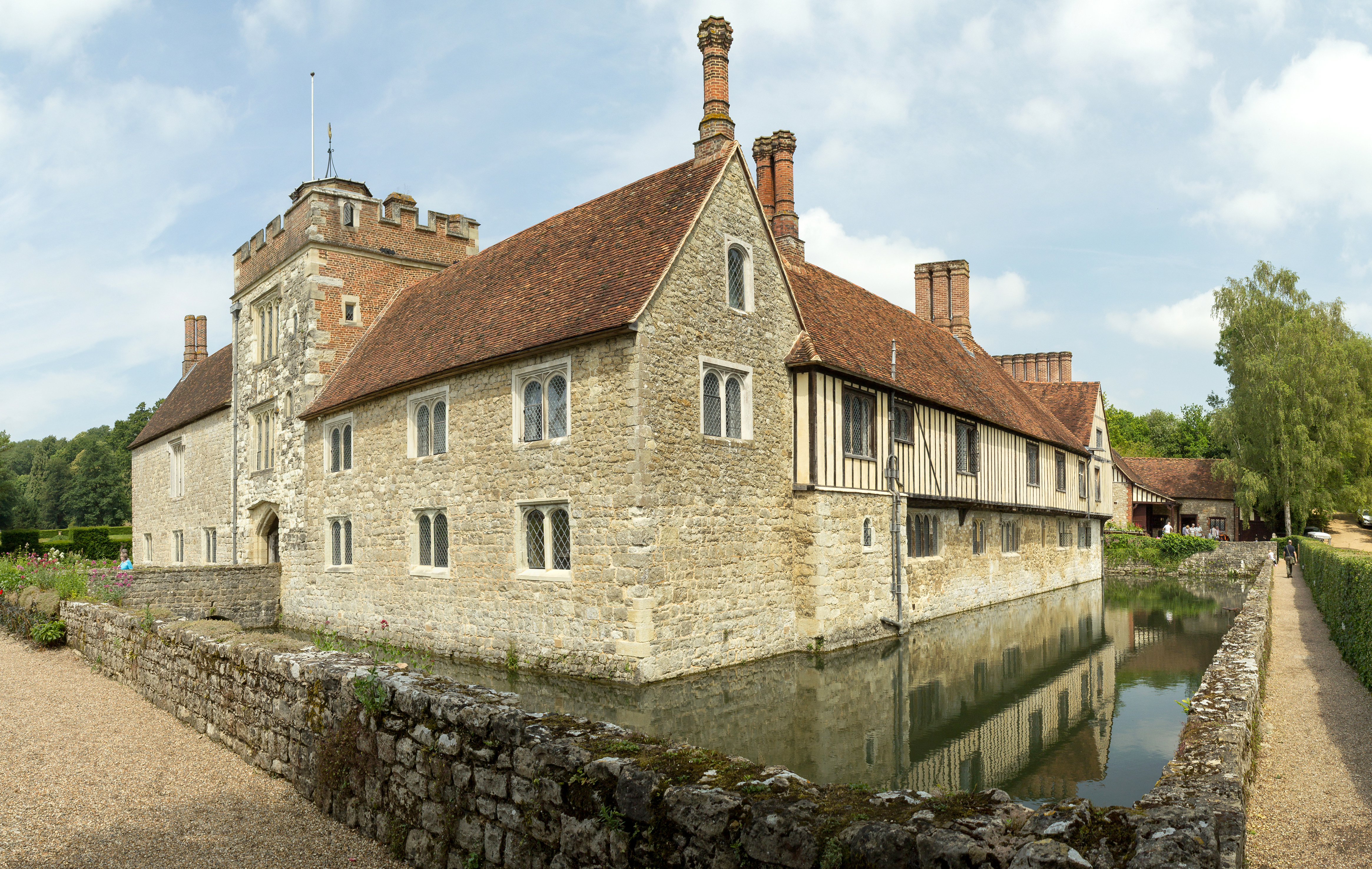
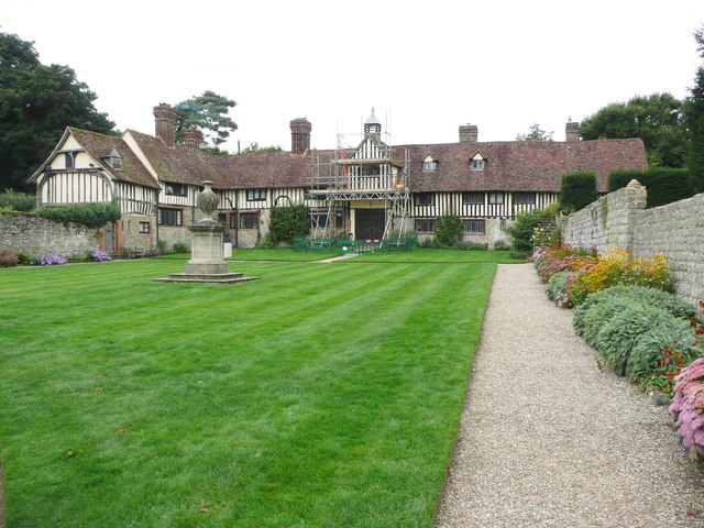
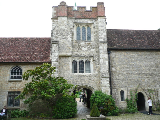
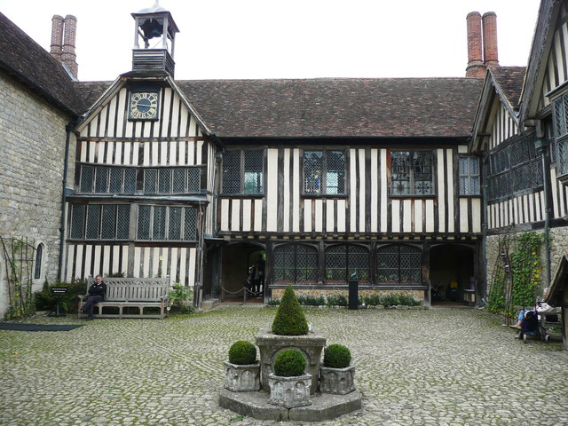
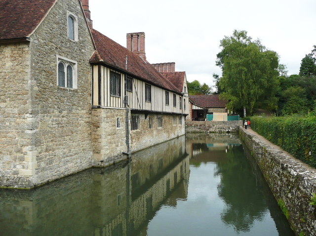
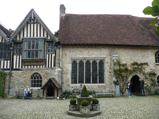
Ightham Mote
Ightham Mote (), at Ightham, is a medieval moated manor house in Kent, England. The architectural writer John Newman describes it as "the most complete...

Ivy Hatch Nature Reserve
Ivy Hatch Nature Reserve in Ivy Hatch, north of Tonbridge in Kent, is a 0.5-hectare (1.2-acre) reserve managed by the Kent Wildlife Trust.Several streams...

One Tree Hill and Bitchet Common
One Tree Hill and Bitchet Common is a 79.2-hectare (196-acre) biological Site of Special Scientific Interest east of Sevenoaks in Kent. It is in Kent Downs...

Fairlawne
Fairlawne is a Grade I listed house in Shipbourne, Kent, England, about 30 miles southeast of central London. The Fairlawne Estate is extensive and stretches...

Oldbury and Seal Chart
Oldbury and Seal Chart is a 212.4-hectare (525-acre) biological Site of Special Scientific Interest east of Sevenoaks in Kent, England. It is in the Kent...

Oldbury Camp
Oldbury Camp (also known as Oldbury hill fort) is the largest Iron Age hill fort in south-eastern England. It was built in the 1st century BC by Celtic...
Shipbourne
Shipbourne ( SHIB-ərn) is a village and civil parish situated between the towns of Sevenoaks and Tonbridge, in the borough of Tonbridge and Malling in...

Yopps Green
Yopps Green is a hamlet in the Tonbridge and Malling District, in the county of Kent, England. It is part of the small village of Plaxtol. == Location... ==
Related Videos

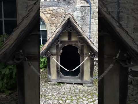
Our visit to Ightham Mote in Kent
A tour around the house and grounds of Ightam Mote in Kent. This 14th-century National Trust manor house, surrounded by a ...

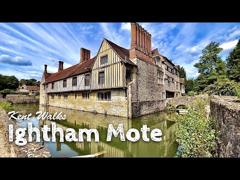
England 🏴: Ightham Mote | House & Garden Tour
Tour of a 14th century moated manor house, gardens and estate situated in the village of Ightham, near Sevenoaks in Kent, ...
Nearby Amenities
Located within 500m of 51.261903,0.26199009Have you been to West Bank Wood?
Leave your review of West Bank Wood below (or comments, questions and feedback).