Toll Wood
Wood, Forest in Sussex Wealden
England
Toll Wood

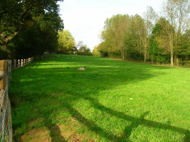
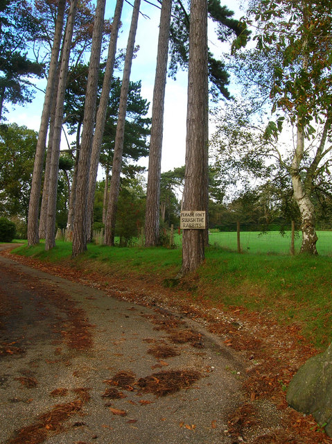
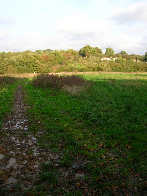
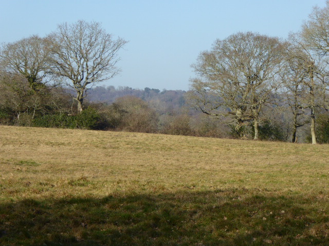
Toll Wood is a picturesque forest located in Sussex, England. Covering an area of approximately 500 acres, it is a popular destination for nature enthusiasts and those seeking tranquility amidst the beauty of the British countryside.
The forest is characterized by its dense woodland, consisting primarily of oak, beech, and birch trees. These towering trees provide ample shade and create a serene atmosphere within the wood. The forest floor is covered in a thick carpet of moss, ferns, and wildflowers, adding to its enchanting appeal.
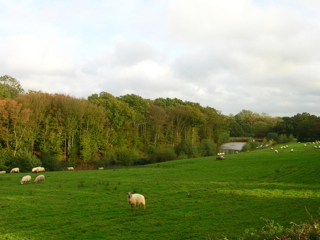
Toll Wood is home to a diverse range of wildlife, making it an ideal spot for wildlife enthusiasts and birdwatchers. Deer, foxes, and rabbits can often be spotted amongst the trees, while various species of birds, including woodpeckers and owls, make their nests in the forest.
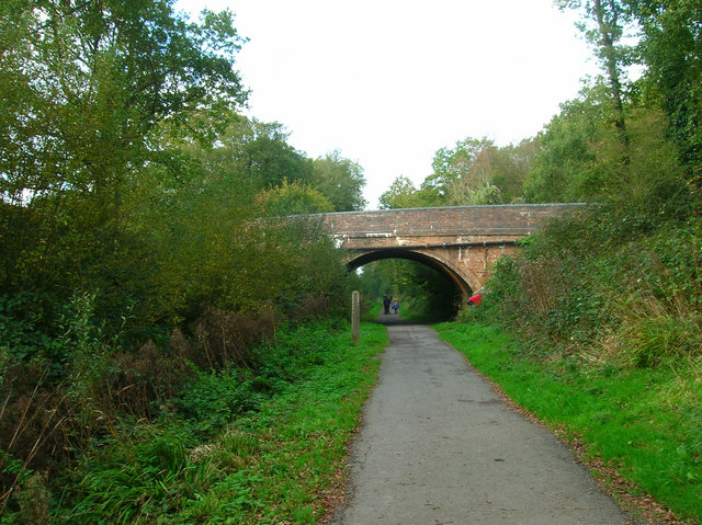
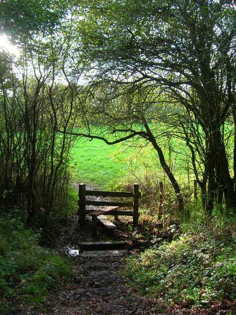
A network of well-maintained footpaths and trails crisscross the forest, allowing visitors to explore its many nooks and crannies. These paths take visitors through enchanting woodland glades, across babbling brooks, and up gentle hills, offering breathtaking views of the surrounding countryside.
Throughout the year, Toll Wood hosts a variety of events and activities that cater to both adults and children. These include guided nature walks, educational programs, and seasonal events such as Easter egg hunts and pumpkin picking during Halloween.
With its natural beauty, diverse wildlife, and array of recreational activities, Toll Wood is a true gem in the heart of Sussex and a must-visit destination for anyone seeking a peaceful retreat in nature.
If you have any feedback on the listing, please let us know in the comments section below.
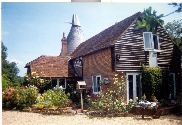
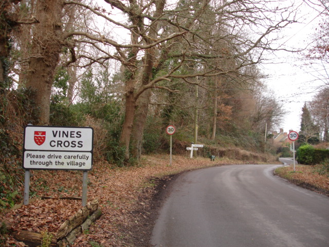
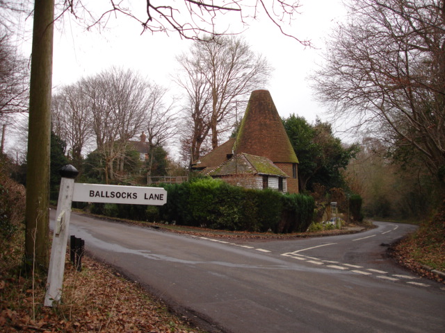
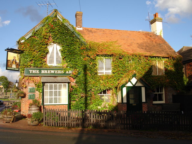
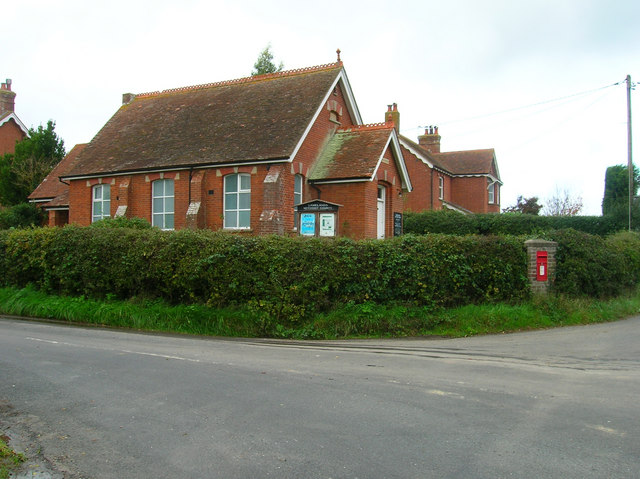
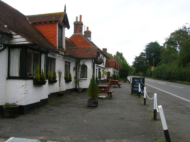
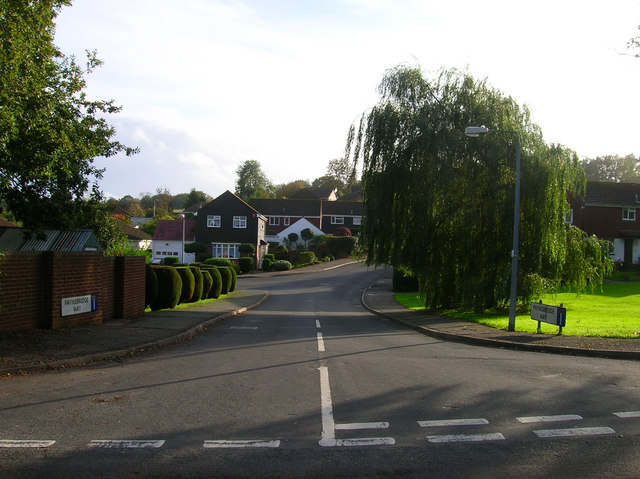
Toll Wood Images
Images are sourced within 2km of 50.930425/0.24578296 or Grid Reference TQ5716. Thanks to Geograph Open Source API. All images are credited.


Toll Wood is located at Grid Ref: TQ5716 (Lat: 50.930425, Lng: 0.24578296)
Administrative County: East Sussex
District: Wealden
Police Authority: Sussex
What 3 Words
///woodstove.molars.unto. Near Horam, East Sussex
Nearby Locations
Related Wikis

Horam
Horam is a village, electoral ward and civil parish in the Wealden District of East Sussex, situated three miles (4.8 km) south of Heathfield. Included...
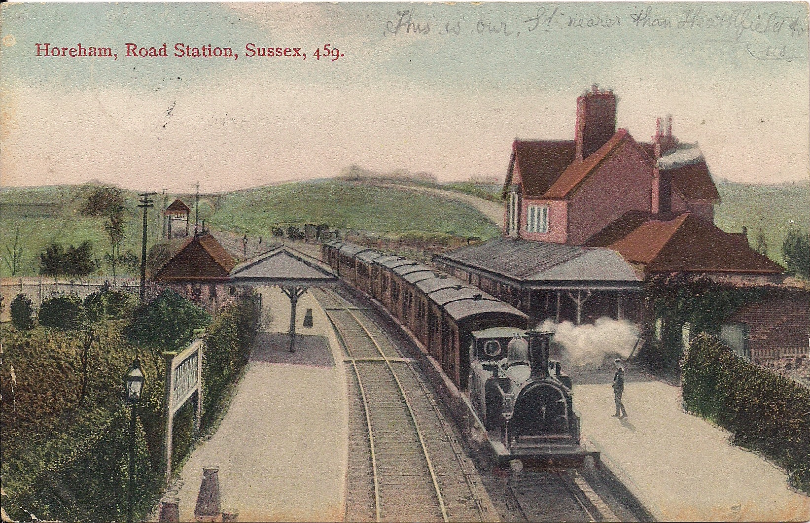
Horam railway station
Horam railway station was on the Cuckoo Line between Hellingly and Heathfield, serving the village of Horam. == History == The station was opened by the...

Maynard's Green
Maynard's Green is a village in the Wealden district of East Sussex. == External links == Maynards Green Community Primary School
Sapperton Meadows
Sapperton Meadows is a 14.7-hectare (36-acre) biological Site of Special Scientific Interest south of Heathfield in East Sussex.These poorly drained hay...

Gun Hill, East Sussex
Gun Hill is a hamlet in the civil parish of Chiddingly in the Wealden district of East Sussex, England. It is one of the seven hills of the parish in which...

Warbleton
Warbleton is a village and civil parish in the Wealden district of East Sussex, England. Within its bounds are three other settlements. It is located south...

Waldron Cutting
Waldron Cutting is a 0.2-hectare (0.49-acre) geological Site of Special Scientific Interest in East Sussex. It is a Geological Conservation Review site...

St Dunstan's Farm Meadows
St Dunstan's Farm Meadows is a 10.2-hectare (25-acre) biological Site of Special Scientific Interest south-east of Heathfield in East Sussex. It is in...
Nearby Amenities
Located within 500m of 50.930425,0.24578296Have you been to Toll Wood?
Leave your review of Toll Wood below (or comments, questions and feedback).