Cogger's Shaw
Wood, Forest in Sussex Wealden
England
Cogger's Shaw

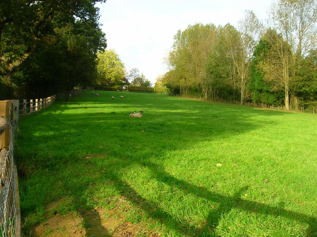
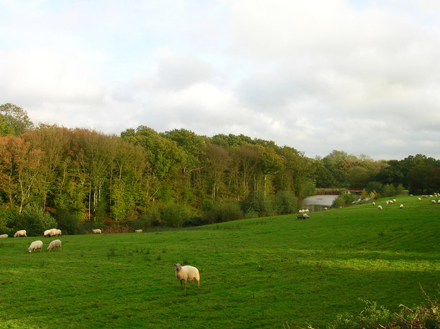
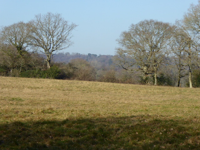
Cogger's Shaw is a picturesque woodland located in the county of Sussex, England. Situated in the heart of the South Downs National Park, it covers an area of approximately 50 acres and is renowned for its natural beauty and diverse ecosystem.
The woodland is predominantly composed of native tree species such as oak, beech, and ash, creating a dense canopy that provides shade and shelter for a wide variety of wildlife. The forest floor is adorned with an array of vibrant wildflowers, including bluebells and primroses, which bloom in the spring, adding a splash of color to the scenery.
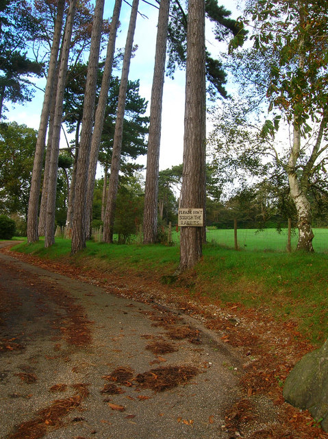
Cogger's Shaw is a haven for nature enthusiasts, offering numerous walking trails and paths that wind through the woods, allowing visitors to explore its enchanting surroundings. The tranquility of the woodland provides an ideal setting for birdwatching, with species such as woodpeckers, tits, and finches frequently spotted among the treetops.
The woodland's diverse habitat also supports a rich array of wildlife, including mammals such as deer, foxes, and rabbits. Additionally, smaller creatures like squirrels and hedgehogs can be observed scurrying about, adding to the woodland's charm.
Cogger's Shaw is not only a natural treasure but also holds historical significance. The woodland has been preserved for centuries and has served as a source of timber for local communities. Today, it stands as a testament to the enduring beauty and importance of forests in the Sussex countryside.
If you have any feedback on the listing, please let us know in the comments section below.
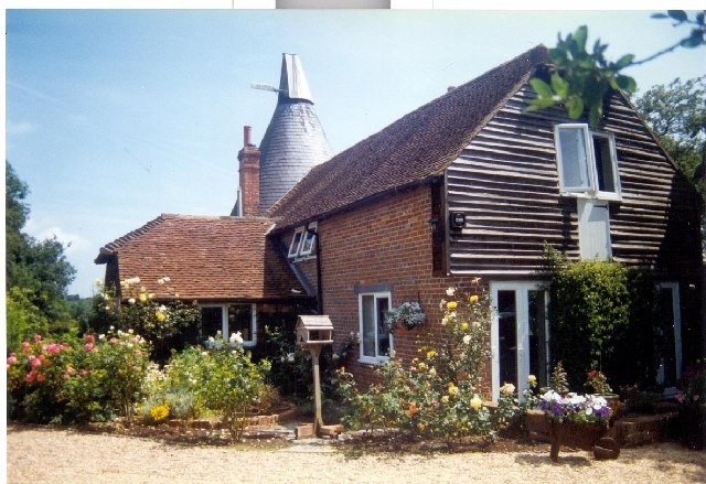
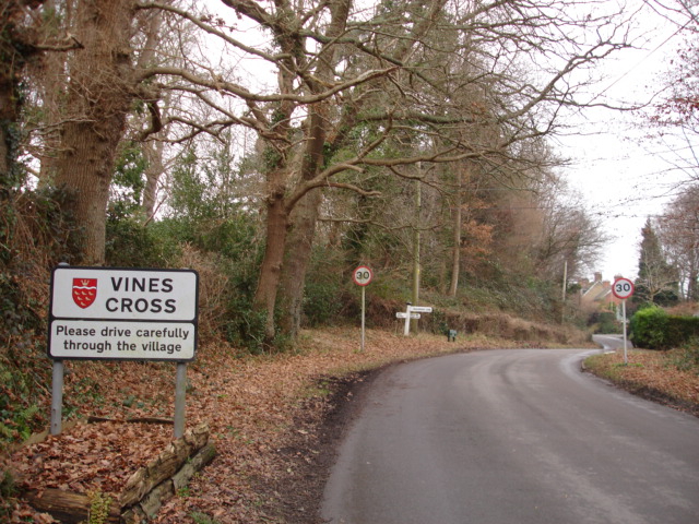
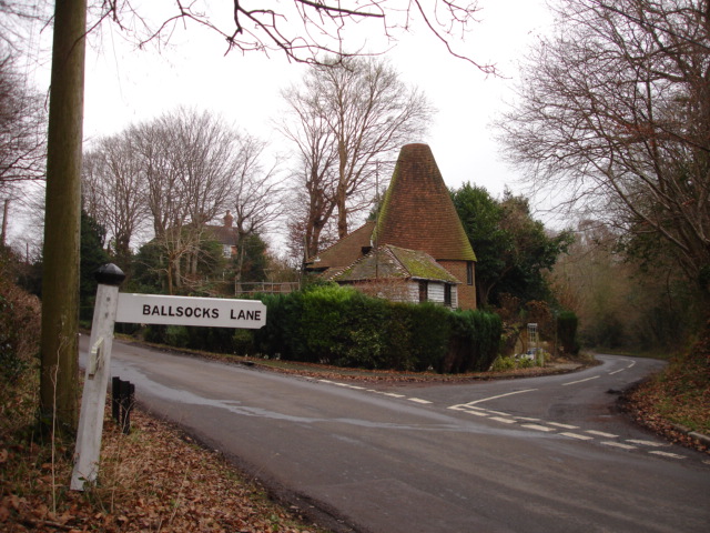
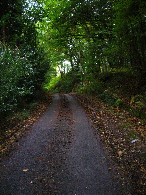
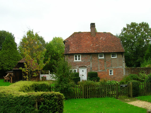
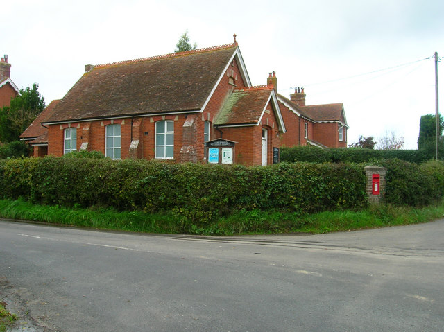
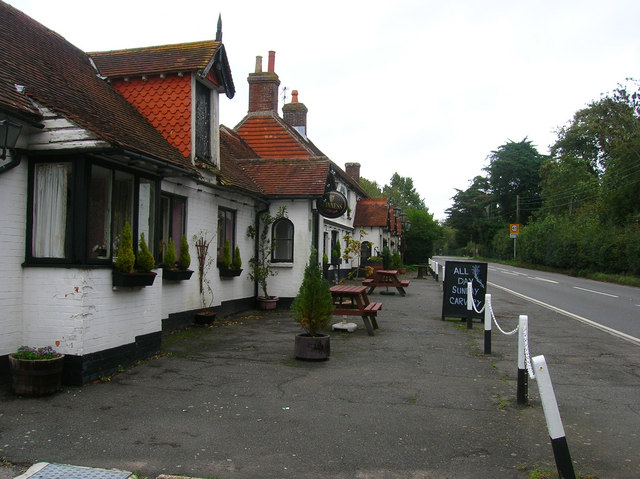
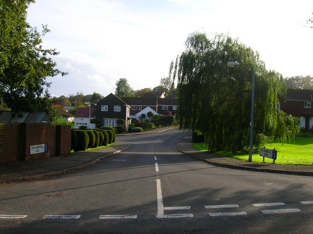
Cogger's Shaw Images
Images are sourced within 2km of 50.922755/0.24619614 or Grid Reference TQ5716. Thanks to Geograph Open Source API. All images are credited.


Cogger's Shaw is located at Grid Ref: TQ5716 (Lat: 50.922755, Lng: 0.24619614)
Administrative County: East Sussex
District: Wealden
Police Authority: Sussex
What 3 Words
///texts.diner.mush. Near Horam, East Sussex
Nearby Locations
Related Wikis

Horam
Horam is a village, electoral ward and civil parish in the Wealden District of East Sussex, situated three miles (4.8 km) south of Heathfield. Included...
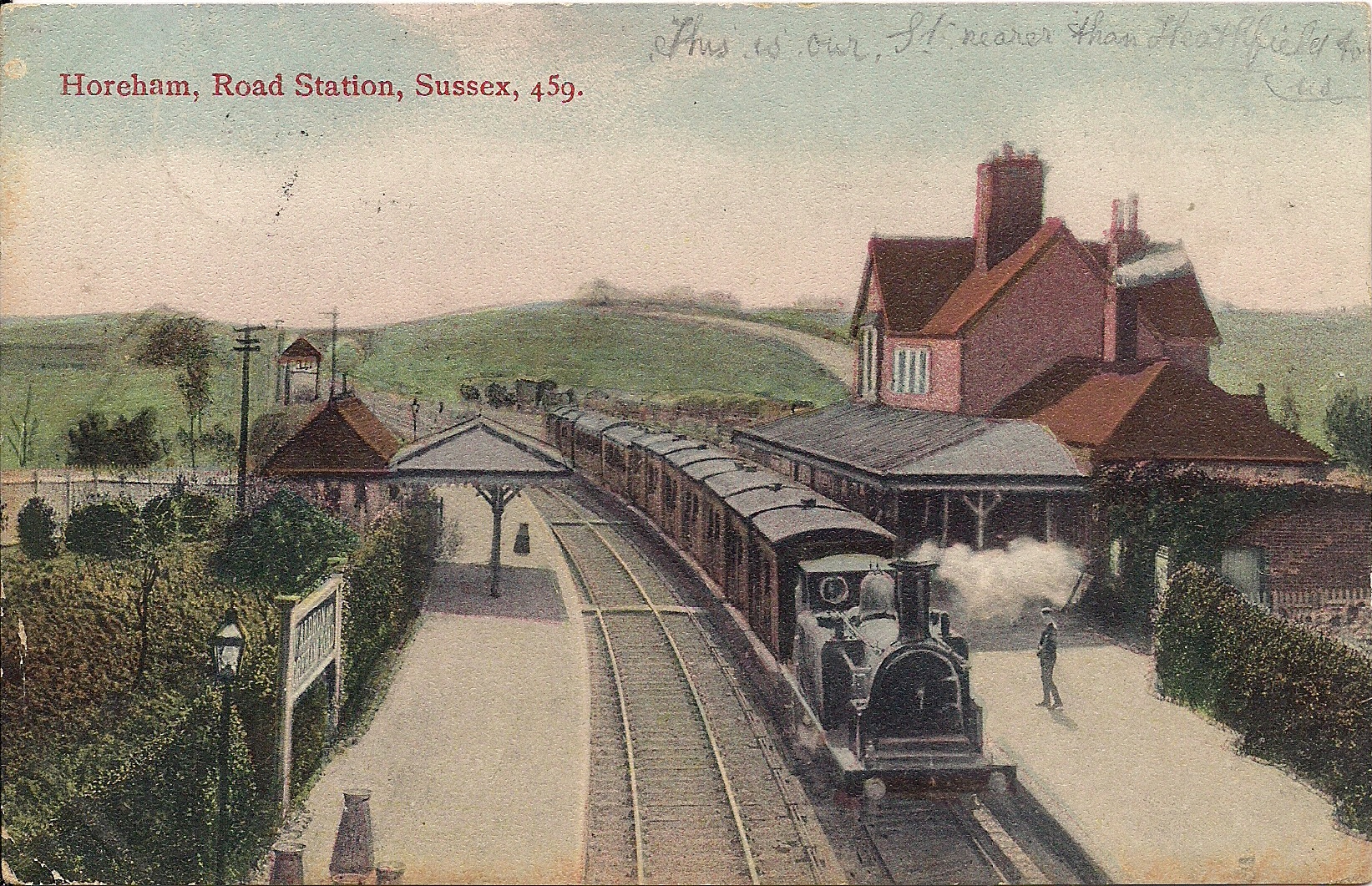
Horam railway station
Horam railway station was on the Cuckoo Line between Hellingly and Heathfield, serving the village of Horam. == History == The station was opened by the...

Gun Hill, East Sussex
Gun Hill is a hamlet in the civil parish of Chiddingly in the Wealden district of East Sussex, England. It is one of the seven hills of the parish in which...

Maynard's Green
Maynard's Green is a village in the Wealden district of East Sussex. == External links == Maynards Green Community Primary School
Sapperton Meadows
Sapperton Meadows is a 14.7-hectare (36-acre) biological Site of Special Scientific Interest south of Heathfield in East Sussex.These poorly drained hay...
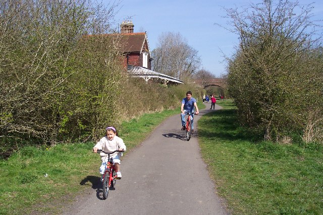
Cuckoo Trail
The Cuckoo Trail is a 14-mile (23 km) footpath and cycleway which runs from Hampden Park to Heathfield in East Sussex. It passes through the towns of Polegate...

Warbleton
Warbleton is a village and civil parish in the Wealden district of East Sussex, England. Within its bounds are three other settlements. It is located south...

Hellingly
Hellingly (pronounced 'Helling-lye') is a village, and can also refer to a civil parish, and to a district ward, in the Wealden District of East Sussex...
Nearby Amenities
Located within 500m of 50.922755,0.24619614Have you been to Cogger's Shaw?
Leave your review of Cogger's Shaw below (or comments, questions and feedback).