Robin Post Wood
Wood, Forest in Sussex Wealden
England
Robin Post Wood

Robin Post Wood is a beautiful forest located in the county of Sussex, England. It covers an expansive area and is known for its rich biodiversity and serene surroundings. The forest is situated near the village of Wood, providing a peaceful retreat for locals and tourists alike.
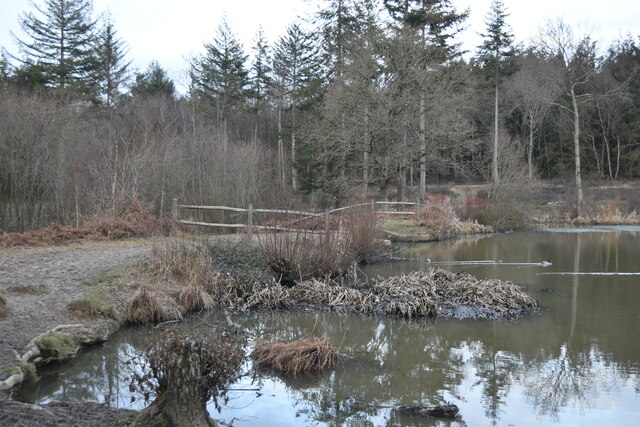
The woodland is predominantly made up of broadleaf trees, including oak, beech, and birch, which create a picturesque landscape throughout the year. The forest floor is covered in a lush carpet of ferns, moss, and wildflowers, adding to its natural charm.
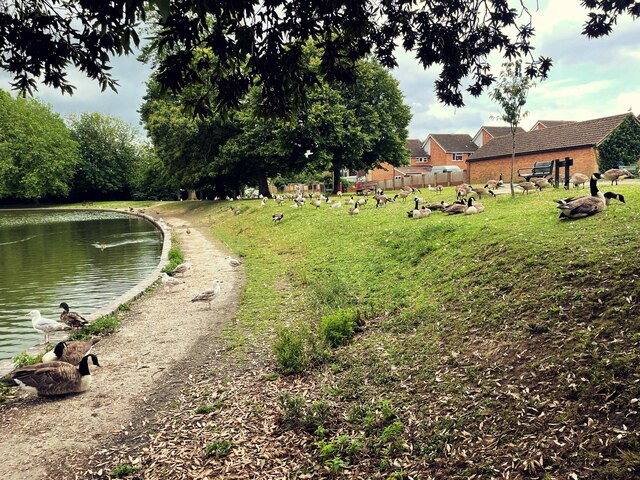
Robin Post Wood is home to a diverse range of wildlife, making it a popular spot for nature enthusiasts. Visitors may have the chance to spot various bird species, including woodpeckers, owls, and warblers. The forest also provides habitat for mammals such as deer, foxes, and badgers.
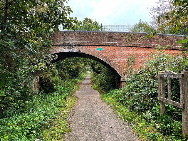
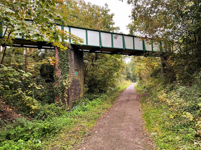
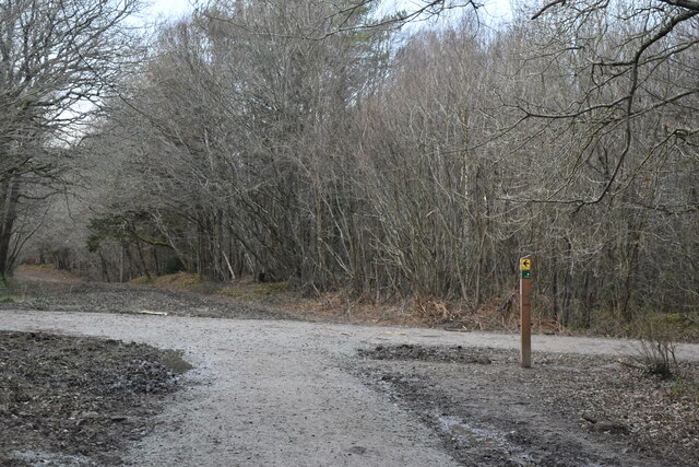
The woodland offers numerous walking trails and pathways, allowing visitors to explore its beauty at their own pace. These trails are well-maintained and provide easy access to the different sections of the forest. Along the way, there are designated picnic areas and benches, where visitors can relax and enjoy the peaceful atmosphere.
Furthermore, Robin Post Wood has a rich history that dates back centuries. It has been used for timber production, hunting, and recreational activities for generations. The forest is managed by local authorities, who ensure its preservation and maintenance for future generations to enjoy.
Overall, Robin Post Wood is a captivating forest in Sussex, offering a haven of tranquility and natural beauty. Its diverse flora and fauna, along with its well-maintained trails, make it an ideal destination for those seeking to connect with nature.
If you have any feedback on the listing, please let us know in the comments section below.
Robin Post Wood Images
Images are sourced within 2km of 50.852303/0.24073506 or Grid Reference TQ5708. Thanks to Geograph Open Source API. All images are credited.


Robin Post Wood is located at Grid Ref: TQ5708 (Lat: 50.852303, Lng: 0.24073506)
Administrative County: East Sussex
District: Wealden
Police Authority: Sussex
What 3 Words
///hopefully.chop.boosted. Near Hailsham, East Sussex
Nearby Locations
Related Wikis
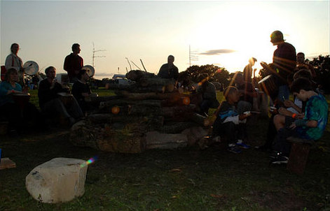
Out of the Ordinary Festival
The Out of the Ordinary Festival was an annual family- and eco-friendly music festival near Hailsham in the Sussex countryside. From 2007 to 2013 it celebrated...

Arlington Stadium, Hailsham
Arlington Stadium is a sports stadium on Arlington Road West, Hailsham, East Sussex. The stadium is mainly used for Stock car racing and was formerly used...

Hailsham Town F.C.
Hailsham Town Football Club is a football club based in Hailsham, East Sussex, England. They are currently members of the Southern Combination Division...

St Wilfrid's Church, Hailsham
St Wilfrid's Church is a Roman Catholic church serving the town of Hailsham in the Wealden district of East Sussex, England. The present building was...

Hailsham railway station
Hailsham Railway Station was on the Cuckoo Line between Polegate and Hellingly serving the town of Hailsham. Originally built in 1849 by the London, Brighton...

Hailsham
Hailsham is a town, a civil parish and the administrative centre of the Wealden district of East Sussex, England. It is mentioned in the Domesday Book...
Downwash Ditch
Downwash Ditch is a 1.4-kilometre (0.87 mi) long river (brook) and drainage ditch of the Pevensey Levels in the civil parish of Hailsham, Wealden District...
Hailsham Community College
Hailsham Community College is a coeducational all-through school and sixth form with academy status, located in Hailsham, East Sussex, England. There...
Nearby Amenities
Located within 500m of 50.852303,0.24073506Have you been to Robin Post Wood?
Leave your review of Robin Post Wood below (or comments, questions and feedback).