Darenth Wood
Wood, Forest in Kent Dartford
England
Darenth Wood

Darenth Wood, located in Kent, England, is a picturesque woodland area known for its natural beauty and diverse ecosystem. Spanning approximately 400 acres, this ancient woodland is part of the larger Darenth Valley, which includes the River Darenth and surrounding countryside.
The wood is predominantly made up of broadleaf trees, including oak, beech, and birch, which create a dense canopy that provides shade and shelter for a wide array of flora and fauna. Bluebells, primroses, and wood anemones carpet the forest floor in the spring, creating a stunning display of vibrant colors.
The wood is home to a rich variety of wildlife, including deer, foxes, badgers, and a plethora of bird species, making it a popular spot for nature enthusiasts and birdwatchers. The tranquil atmosphere and abundant natural resources also attract walkers, hikers, and cyclists who enjoy exploring the numerous trails that wind through the wood.
In addition to its natural appeal, Darenth Wood holds historical significance. It is believed to have been in existence since the last Ice Age, and remnants of Iron Age settlements have been discovered within its boundaries. The wood has also played a role in British history, providing timber for shipbuilding during the Tudor period.
Today, Darenth Wood is managed by the Woodland Trust, a conservation charity dedicated to preserving and enhancing the UK's woodlands. With its rich biodiversity, scenic landscapes, and historical importance, Darenth Wood continues to be a cherished natural gem in the heart of Kent.
If you have any feedback on the listing, please let us know in the comments section below.
Darenth Wood Images
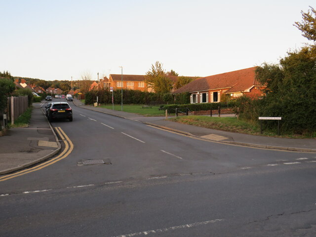
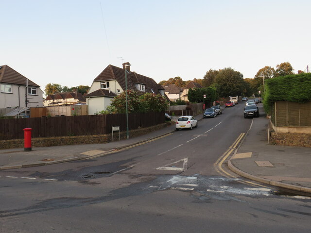
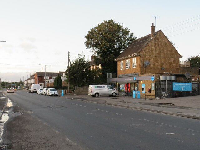
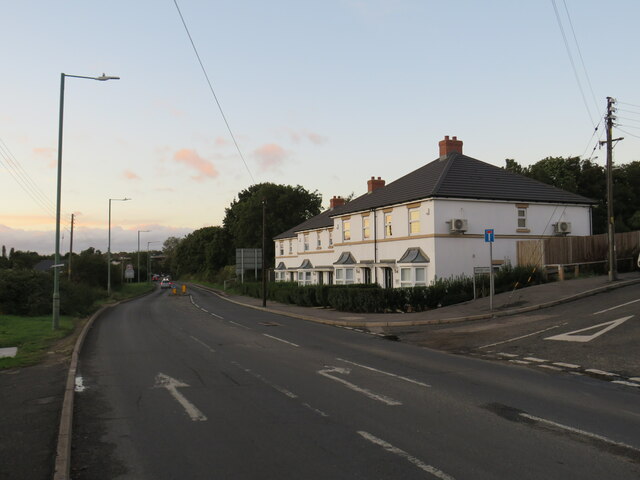
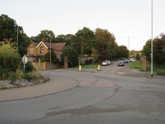
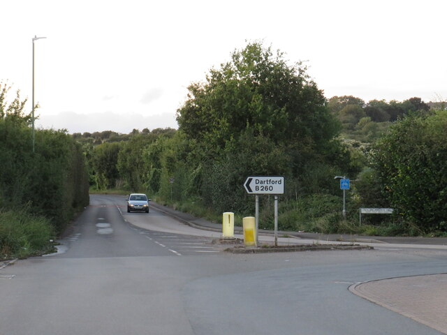
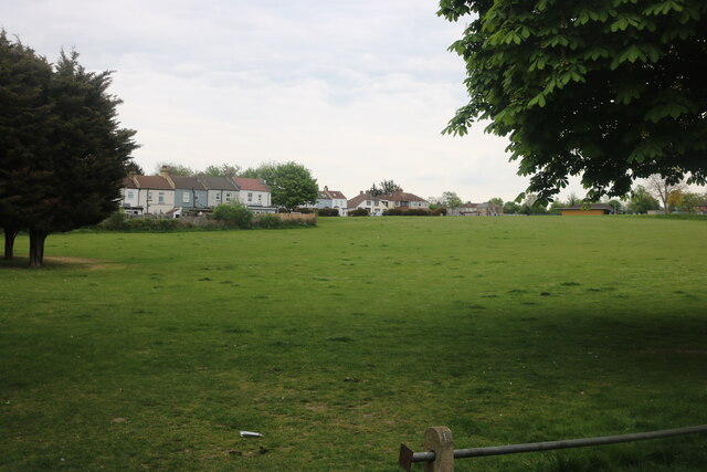
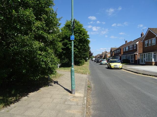
Images are sourced within 2km of 51.428291/0.26877497 or Grid Reference TQ5772. Thanks to Geograph Open Source API. All images are credited.


Darenth Wood is located at Grid Ref: TQ5772 (Lat: 51.428291, Lng: 0.26877497)
Administrative County: Kent
District: Dartford
Police Authority: Kent
What 3 Words
///study.slimy.taker. Near Darenth, Kent
Nearby Locations
Related Wikis

Darenth Wood
Darenth Wood is a 122.9-hectare (304-acre) biological Site of Special Scientific Interest east of Dartford in Kent.This ancient semi-natural wood has many...

Darent Valley Hospital
Darent Valley Hospital is a 478-bed, acute district general hospital in Dartford, Kent, England. The hospital has an Emergency Department. The hospital...
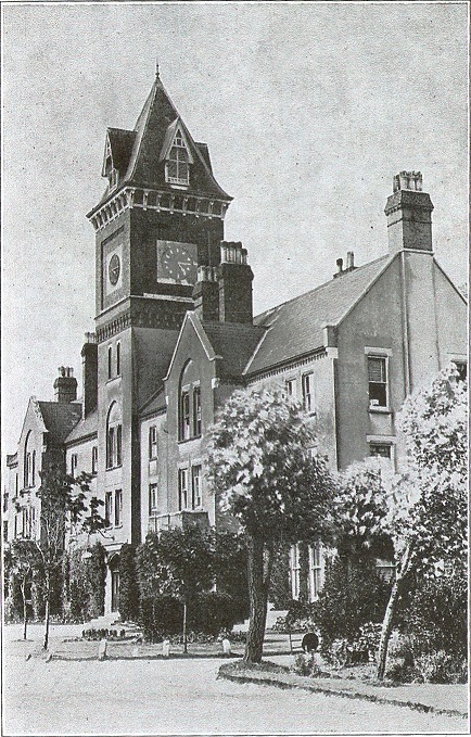
Darenth Park Hospital
Darenth Park Hospital was a healthcare facility in Darenth near Dartford in Kent, originally founded as Darenth School. == History == The hospital was...

Bean, Kent
Bean is a village and civil parish in the Borough of Dartford, Kent, England. It is located 4.4 miles south east of Dartford and 5.4 miles south west of...
Nearby Amenities
Located within 500m of 51.428291,0.26877497Have you been to Darenth Wood?
Leave your review of Darenth Wood below (or comments, questions and feedback).