Crock-kiln Wood
Wood, Forest in Sussex Wealden
England
Crock-kiln Wood

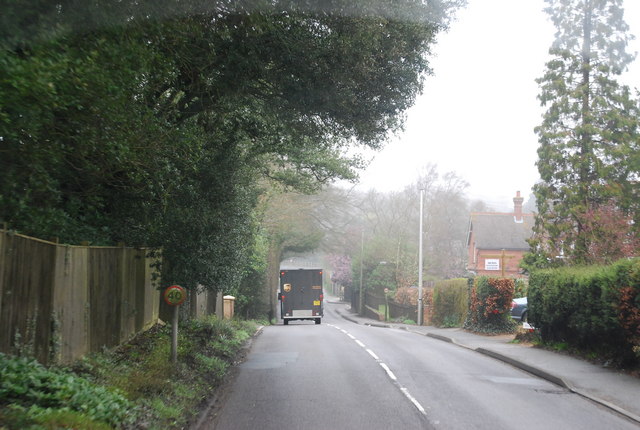
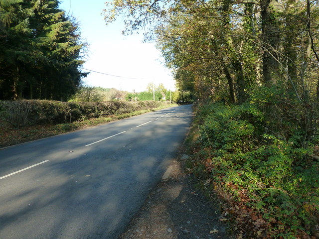
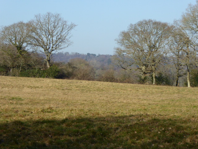
Crock-kiln Wood is a picturesque forest located in the county of Sussex, England. Covering an area of approximately 100 acres, it is a popular destination for nature enthusiasts and those seeking a tranquil escape from the bustling city life.
The woodland is predominantly composed of native deciduous trees, such as oak, beech, and ash, creating a diverse and vibrant ecosystem. These trees provide a canopy of shade during the summer months, making it an ideal spot for picnics and leisurely walks. In spring, the forest floor is adorned with a colorful carpet of wildflowers, including bluebells and primroses, creating a captivating sight.
Crock-kiln Wood is also home to a variety of wildlife. Numerous bird species, including woodpeckers, jays, and thrushes, can be spotted flitting between the branches. The forest is also a haven for small mammals, such as squirrels and hedgehogs, which scuttle about in search of food and shelter.
The wood is crisscrossed by a network of well-maintained trails, allowing visitors to explore its beauty at their own pace. These paths lead to secluded spots, hidden glades, and babbling brooks, providing ample opportunities for photographers and nature enthusiasts to capture the essence of the woodland.
Crock-kiln Wood is easily accessible, with parking facilities available nearby. It is a beloved destination for both locals and tourists, offering a serene and enchanting escape into nature's embrace. Whether it be for a leisurely stroll, birdwatching, or simply taking in the natural beauty, Crock-kiln Wood is a must-visit location for anyone seeking solace in the heart of Sussex.
If you have any feedback on the listing, please let us know in the comments section below.
Crock-kiln Wood Images
Images are sourced within 2km of 50.957622/0.24208162 or Grid Reference TQ5719. Thanks to Geograph Open Source API. All images are credited.


Crock-kiln Wood is located at Grid Ref: TQ5719 (Lat: 50.957622, Lng: 0.24208162)
Administrative County: East Sussex
District: Wealden
Police Authority: Sussex
What 3 Words
///against.organist.delays. Near Heathfield, East Sussex
Nearby Locations
Related Wikis

Maynard's Green
Maynard's Green is a village in the Wealden district of East Sussex. == External links == Maynards Green Community Primary School
Heathfield railway station (East Sussex)
Heathfield railway station was on the Cuckoo Line between Horam and Mayfield, serving the market town of Heathfield. It was opened in 1880 by London, Brighton...
Sapperton Meadows
Sapperton Meadows is a 14.7-hectare (36-acre) biological Site of Special Scientific Interest south of Heathfield in East Sussex.These poorly drained hay...

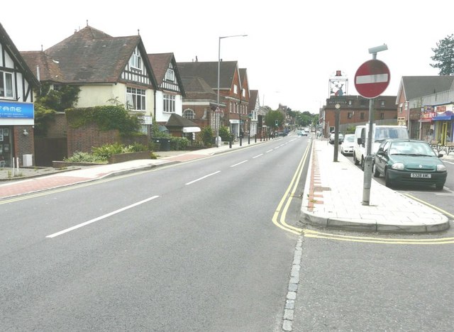
Heathfield, East Sussex
Heathfield is a market town and former civil parish, now in the parish of Heathfield and Waldron, in the Wealden District of East Sussex, England. The...
Have you been to Crock-kiln Wood?
Leave your review of Crock-kiln Wood below (or comments, questions and feedback).