Warren Wood
Wood, Forest in Sussex Wealden
England
Warren Wood
Warren Wood is a picturesque forest located in Sussex, England. Situated in the southern part of the county, the wood is known for its tranquil atmosphere and diverse wildlife.
Covering an area of approximately 100 acres, Warren Wood is a mix of ancient woodland and newer plantations. The woodland consists mainly of broadleaf trees, including oak, beech, and ash, which provide a dense canopy and create a rich and vibrant ecosystem. The forest floor is adorned with a plethora of wildflowers, such as bluebells and primroses, during the springtime.
The wood is a haven for wildlife enthusiasts, offering a wide range of fauna. Visitors might spot various bird species, including woodpeckers, owls, and buzzards, as well as small mammals like rabbits, squirrels, and foxes. Deer can also be seen roaming the wood, adding to its natural beauty.
Warren Wood is a popular destination for nature lovers and outdoor enthusiasts. The forest boasts several walking trails, allowing visitors to explore its enchanting surroundings. There are also picnic areas dotted throughout the wood, providing a perfect spot to relax and enjoy the peaceful ambiance.
Managed by the local forestry commission, Warren Wood is well-maintained and offers a safe and accessible environment for all visitors. Whether it's for a leisurely stroll, birdwatching, or simply to immerse oneself in nature's beauty, Warren Wood is a must-visit destination for anyone seeking a serene and idyllic woodland experience in Sussex.
If you have any feedback on the listing, please let us know in the comments section below.
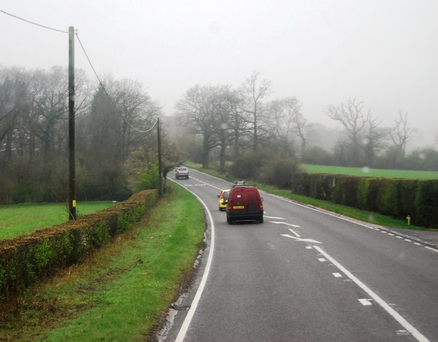
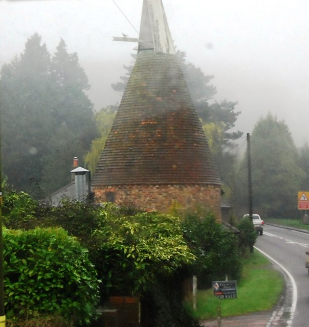
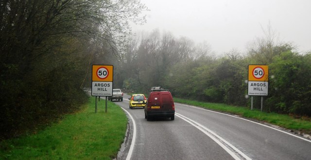
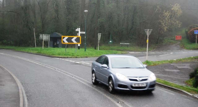
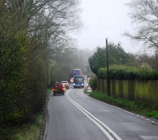
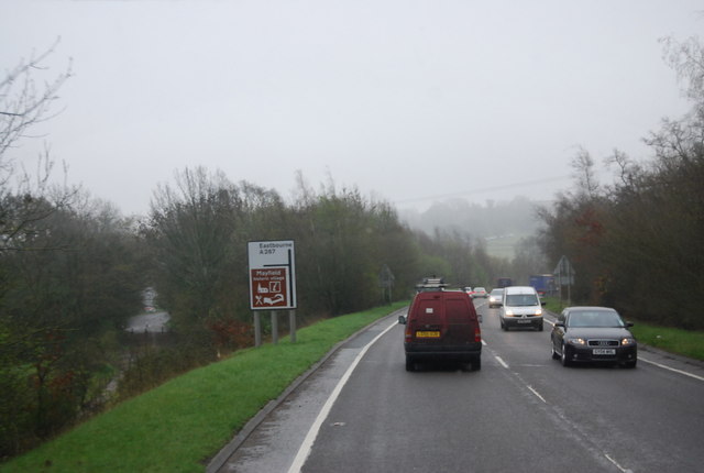
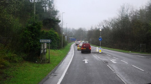
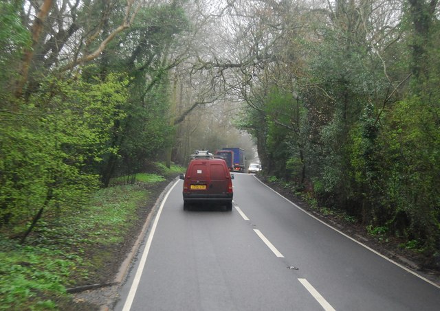
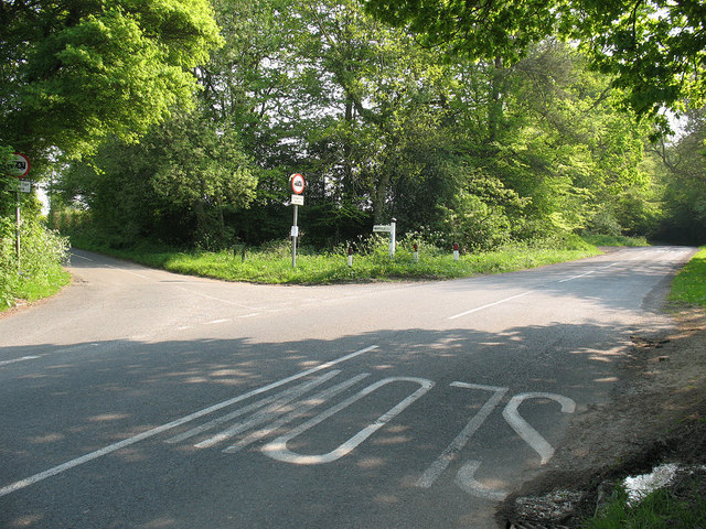
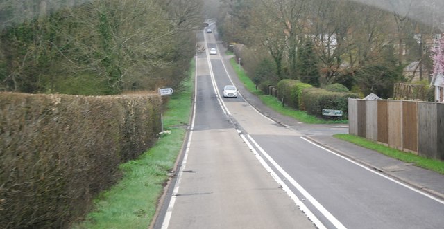
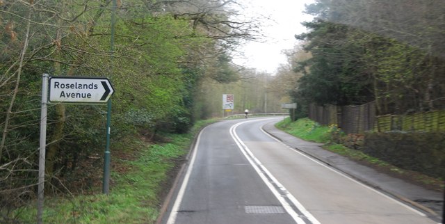
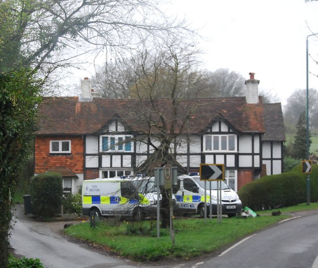
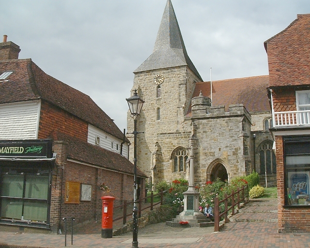
Warren Wood Images
Images are sourced within 2km of 51.028345/0.24550744 or Grid Reference TQ5727. Thanks to Geograph Open Source API. All images are credited.

Warren Wood is located at Grid Ref: TQ5727 (Lat: 51.028345, Lng: 0.24550744)
Administrative County: East Sussex
District: Wealden
Police Authority: Sussex
What 3 Words
///buzzing.appendix.compelled. Near Town Row, East Sussex
Nearby Locations
Related Wikis

Argos Hill Mill, Mayfield
Argos Hill Mill is a grade II* listed post mill at Argos Hill, Mayfield, East Sussex, England As of 2017 it is in the process of restoration by the Argos...

Mayfield railway station
Mayfield was a railway station on the now closed Eridge to Polegate cross country line (the Cuckoo Line). It was built by London, Brighton and South Coast...
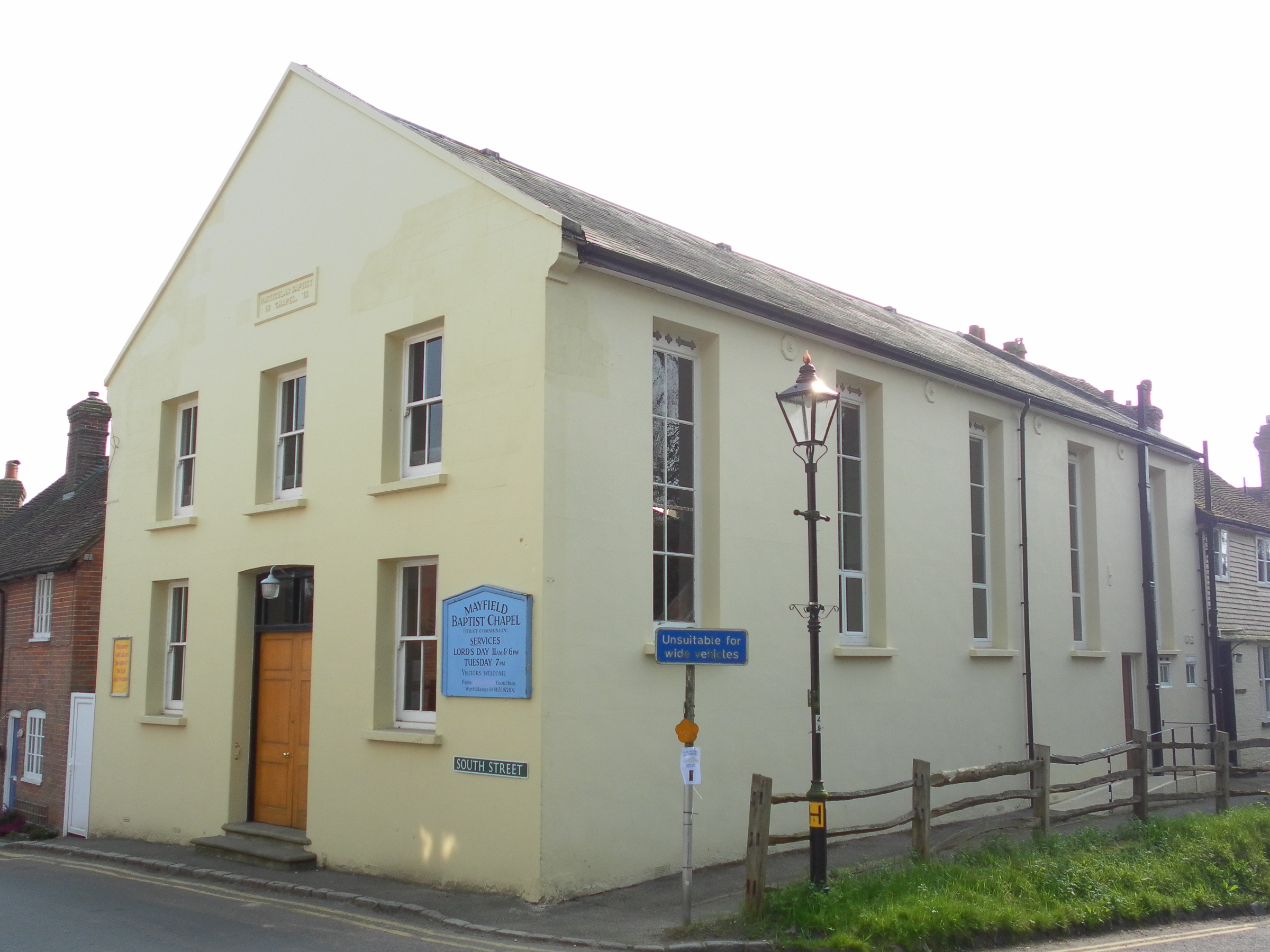
Mayfield Baptist Chapel
Mayfield Baptist Chapel, also known as Mayfield Strict Baptist Chapel, is a place of worship for Gospel Standard Strict Baptists in the village of Mayfield...
Mayfield School, East Sussex
Mayfield School, previously St Leonards-Mayfield School, is an independent Catholic boarding and day school for girls aged 11 to 18. It is in the village...
Mayfield and Five Ashes
Mayfield and Five Ashes is a civil parish in the High Weald of East Sussex, England. The two villages making up the principal part of the parish lie on...

St Dunstan's Church, Mayfield
St Dunstan's, Mayfield in Mayfield, East Sussex was founded in 960 CE by St Dunstan, who was then Archbishop of Canterbury. It is reported as being originally...
Mayfield College
Mayfield College is a defunct Roman Catholic boys' boarding school founded as the Holy Trinity Orphanage For Boys in 1865–1866 by the American-born Dowager...

Rotherfield and Mark Cross railway station
Rotherfield and Mark Cross (also Rotherfield) is the name of a closed station on the Eridge - Heathfield - Polegate railway (the Cuckoo Line) in East Sussex...
Nearby Amenities
Located within 500m of 51.028345,0.24550744Have you been to Warren Wood?
Leave your review of Warren Wood below (or comments, questions and feedback).