Alder Wood
Wood, Forest in Essex
England
Alder Wood
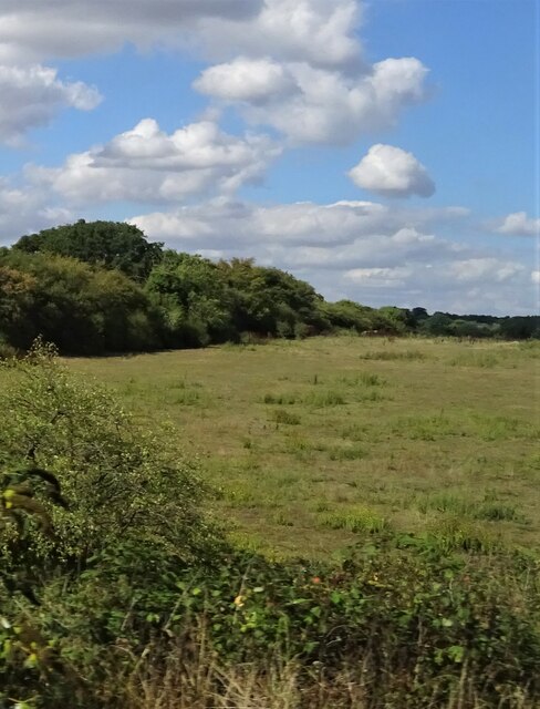
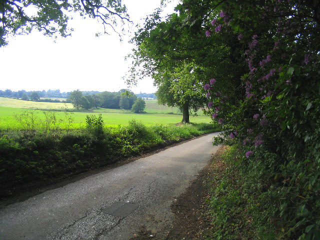
Alder Wood is a picturesque forest located in the county of Essex, England. It is renowned for its rich biodiversity and stunning natural beauty, attracting nature enthusiasts and outdoor lovers from far and wide. The wood covers an area of approximately 100 square kilometers and is home to a wide variety of flora and fauna.
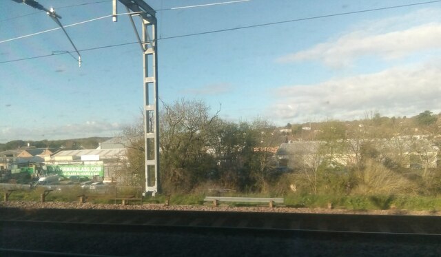
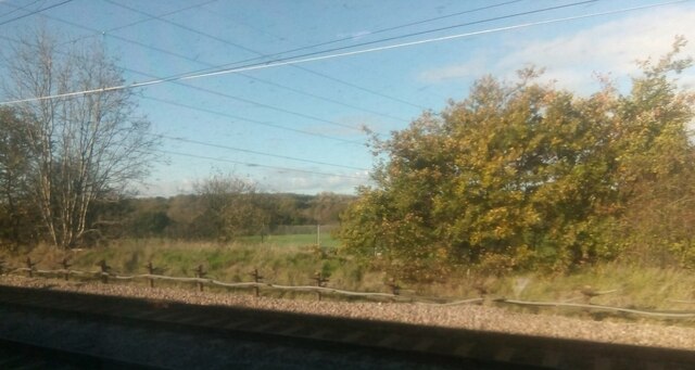
The dominant tree species in Alder Wood is, as the name suggests, the alder tree. These trees thrive in the wetland areas of the forest, creating a unique ecosystem that supports a diverse range of wildlife. The forest floor is adorned with a lush carpet of mosses, ferns, and wildflowers that add vibrant splashes of color to the landscape.
Alder Wood is also known for its extensive network of walking trails, offering visitors the opportunity to explore the forest at their own pace. These trails wind their way through ancient woodlands, alongside babbling brooks, and across open meadows, providing breathtaking views at every turn.
The forest is home to a wide array of wildlife, including various bird species, such as woodpeckers, owls, and warblers. Mammals such as deer, foxes, and badgers can also be spotted in the woodlands, making it a haven for wildlife enthusiasts and photographers.
Alder Wood is not only a haven for wildlife but also offers recreational activities for visitors. It is a popular spot for camping, picnicking, and nature walks, providing a peaceful and tranquil escape from the bustling city life.
If you have any feedback on the listing, please let us know in the comments section below.
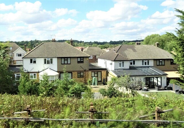
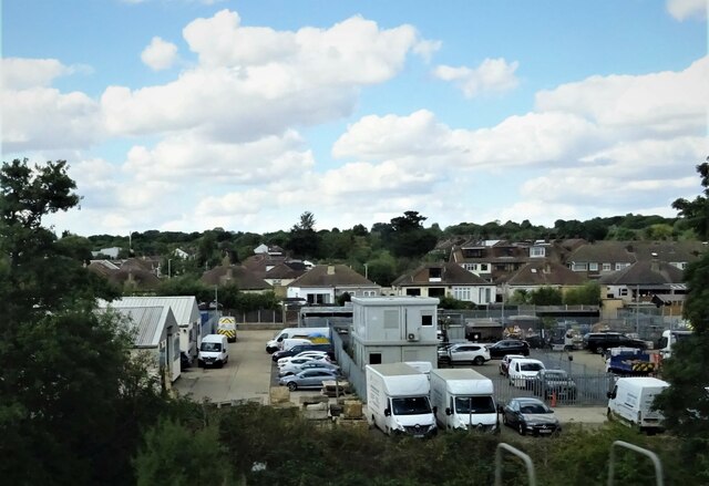
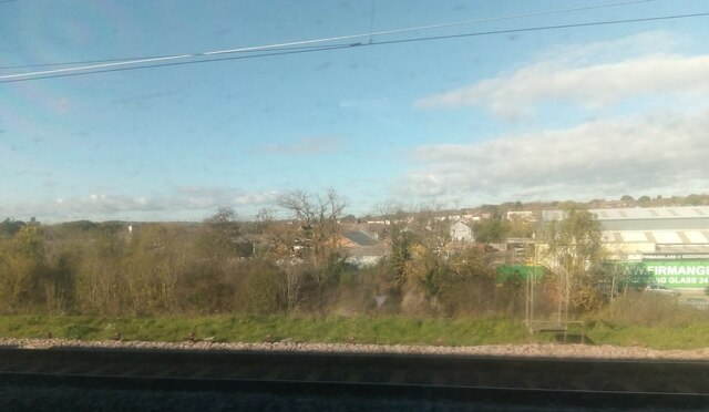
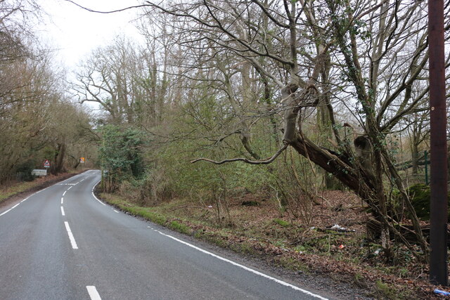
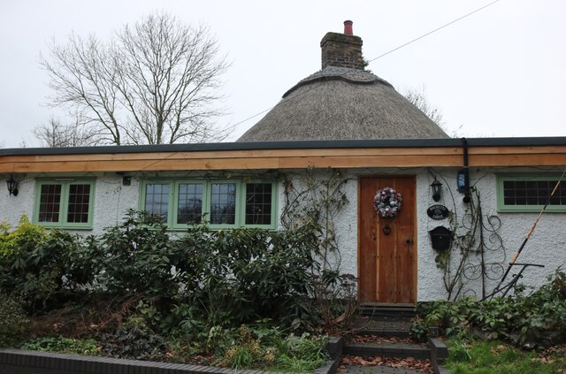
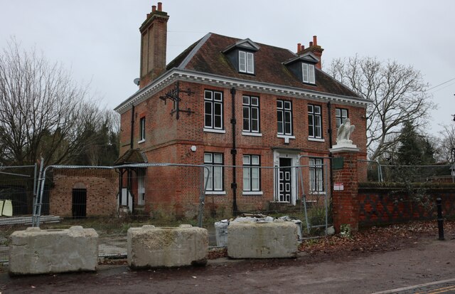
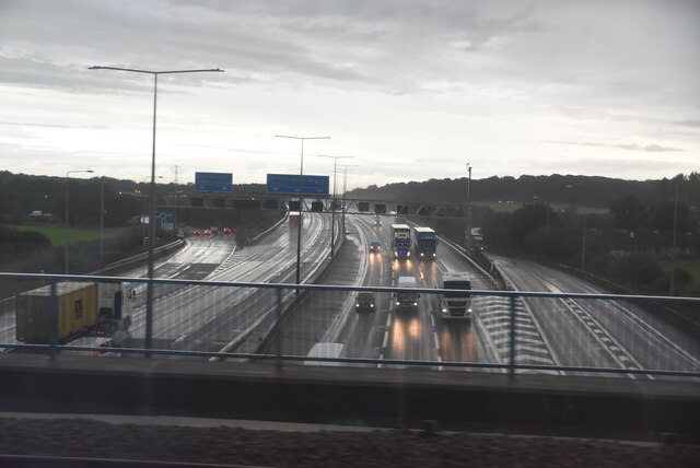
Alder Wood Images
Images are sourced within 2km of 51.612442/0.25610744 or Grid Reference TQ5692. Thanks to Geograph Open Source API. All images are credited.

Alder Wood is located at Grid Ref: TQ5692 (Lat: 51.612442, Lng: 0.25610744)
Unitary Authority: Havering
Police Authority: Metropolitan
What 3 Words
///cats.head.baked. Near Harold Wood, London
Nearby Locations
Related Wikis
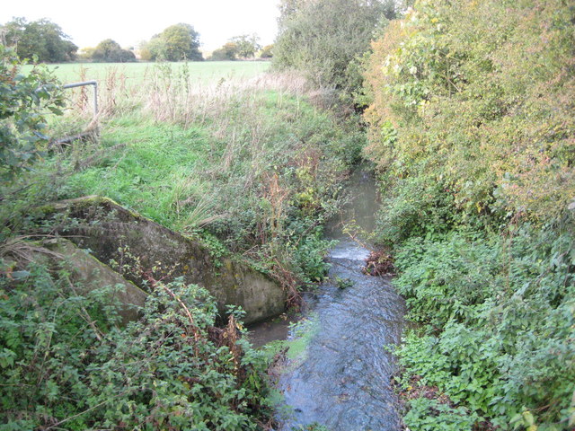
Weald Brook
Weald Brook is a water course in the parliamentary constituency of Hornchurch and Upminster. Weald Brook flows into the River Ingrebourne. Weald Brook...

King's Wood School
King's Wood School was a secondary school in Harold Hill near Romford, London Borough of Havering, England. It was a mixed school of non-denominational...
Drapers' Academy
Drapers' Academy is a secondary school for girls and boys, from years 7 to 13 sixth form with academy status, located in Harold Hill near Romford, Greater...

Dagnam Park
Dagnam Park is a public park located in Harold Hill in the London Borough of Havering. It is a remnant of the grounds of Dagnams Park, the house of the...
Harold Park
Harold Park is a place in the London Borough of Havering. == History == Harold Park is north-eastern part of Harold Wood, occupying an isthmus of land...

Harold Hill
Harold Hill is a suburban area in the London Borough of Havering, East London. 16.6 miles (26.7 km) northeast of Charing Cross. It is a district centre...
St Vincent's Hamlet
St Vincent's Hamlet is a hamlet in the Borough of Brentwood, in the county of Essex, England. It is located about three miles away from the town of Brentwood...

South Weald
South Weald is a mainly farmland and park settlement and former civil parish, on the western edge of Brentwood, in the Brentwood district, in Essex, England...
Nearby Amenities
Located within 500m of 51.612442,0.25610744Have you been to Alder Wood?
Leave your review of Alder Wood below (or comments, questions and feedback).