Nunn Wood

Wood, Forest in Essex Uttlesford

England

Nunn Wood

Hadstock The village green. Looking east from the northeast corner of the grid square.
Hadstock Credit: Alan Simkins

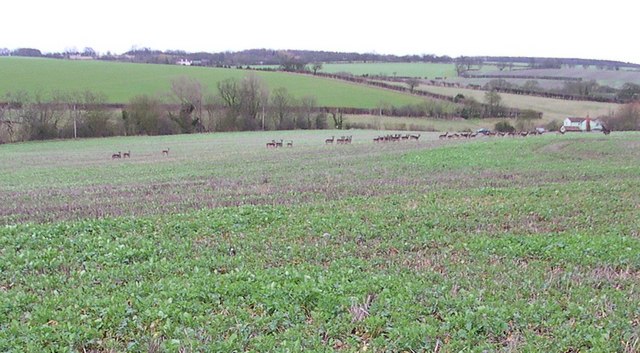
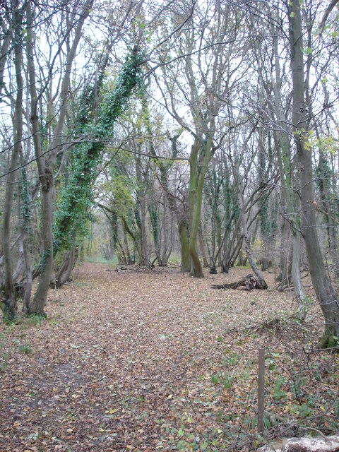
Nunn Wood is a picturesque woodland located in the county of Essex, England. This serene forest covers an area of approximately 50 acres and is situated just a few miles south of the town of Chelmsford. Nunn Wood is known for its diverse range of tree species, with oak, beech, ash, and birch being the most prominent.

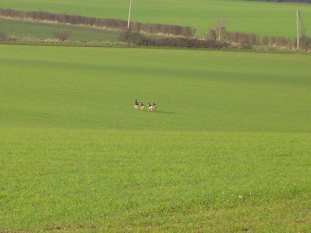
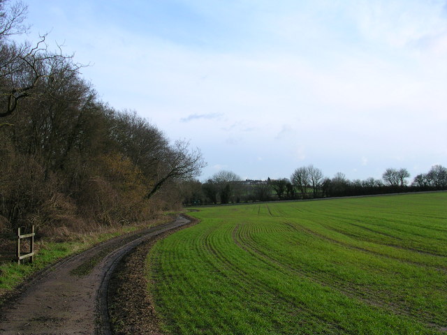
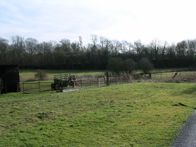
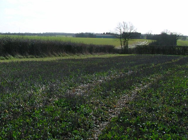
The woodland is a popular destination for nature enthusiasts and hikers due to its tranquil atmosphere and well-maintained trails. Walking through Nunn Wood, one can immerse themselves in the beauty of nature, surrounded by the sights and sounds of birds, squirrels, and other wildlife. The forest floor is adorned with a carpet of wildflowers during the spring and summer months, adding a splash of color to the greenery.

Nunn Wood has a rich history, with evidence of human activity dating back centuries. Archaeological finds suggest that the woodlands were utilized by early settlers for shelter and sustenance. In more recent times, the forest has been managed by the local authorities to preserve its natural beauty and protect the wildlife that calls it home.

Visitors to Nunn Wood can enjoy a range of activities, including picnicking, birdwatching, and photography. The forest also offers a serene environment for those seeking solitude and a break from the hustle and bustle of everyday life. With its stunning scenery and tranquil ambiance, Nunn Wood is a true gem in the heart of Essex, offering a peaceful retreat for all who venture within its boundaries.

If you have any feedback on the listing, please let us know in the comments section below.
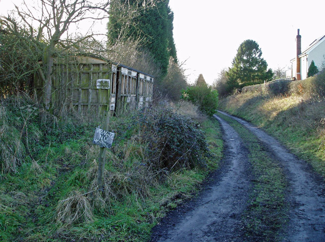
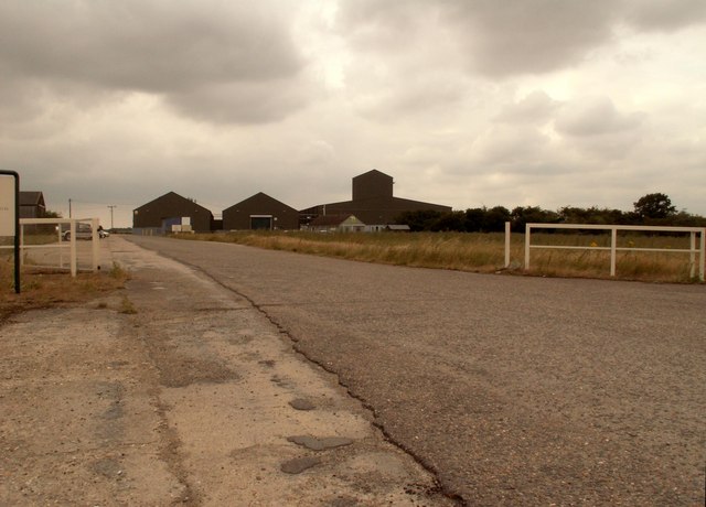
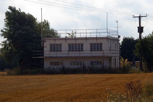
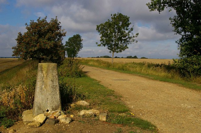
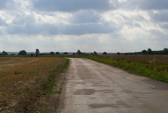
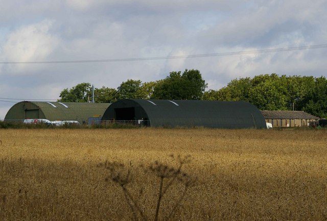
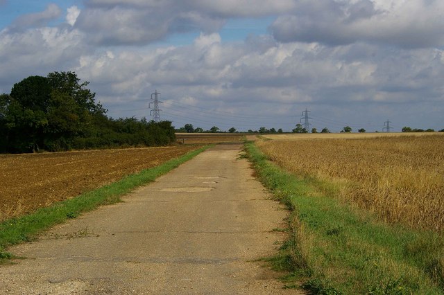
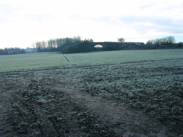
Nunn Wood Images

Images are sourced within 2km of 52.06258/0.27874072 or Grid Reference TL5642. Thanks to Geograph Open Source API. All images are credited.

Hadstock The village green. Looking east from the northeast corner of the grid square.
Hadstock
The village green. Looking east from the northeast corner of the grid square.
Derelict station platform, Ashdon Marked as 'halt' on the 1940s map, this was a platform on the Audley End to Bartlow line. Just here there's no other evidence on the ground that it ever existed.
Derelict station platform, Ashdon
Marked as 'halt' on the 1940s map, this was a platform on the Audley End to Bartlow line. Just here there's no other evidence on the ground that it ever existed.
FDL, Hadstock Common, Essex These buildings belong to a company called Fuerst Day Lawson.
FDL, Hadstock Common, Essex
These buildings belong to a company called Fuerst Day Lawson.
St. Botolph's church, Hadstock, Essex This is a very interesting church, which contains rare evidence of an 11th century building. It has remains of Saxon transepts, which are a rarity. Other parts are 14th century. The church stands on high ground at the centre of the village.
St. Botolph's church, Hadstock, Essex
This is a very interesting church, which contains rare evidence of an 11th century building. It has remains of Saxon transepts, which are a rarity. Other parts are 14th century. The church stands on high ground at the centre of the village.
RAF Little Walden This is the Control Tower of RAF Little Walden. It is probably the best-preserved WW2 airfield tower in Essex. It began its operational life in March 1944 with the USAAF 409th Bomb Group flying A20's, other types that operated from here included P51 Mustang, and B17's. The airfield was returned to the RAF in 1946 and finally decommissioned in 1958. To go to the next field in an alphabetical tour of Essex WW2 airfields click on <a href="https://www.geograph.org.uk/photo/260801">TL5512 : Matching Aerodrome</a>. Much information was gleaned from Graham Smith’s book “Essex Airfields In The Second World War”.
<span class="nowrap"><a title="https://books.google.co.uk/books/about/Essex_Airfields_in_the_Second_World_War.html?id=u3atAAAACAAJ&redir_esc=y" rel="nofollow ugc noopener" href="https://books.google.co.uk/books/about/Essex_Airfields_in_the_Second_World_War.html?id=u3atAAAACAAJ&redir_esc=y">Link</a><img style="margin-left:2px;" alt="External link" title="External link - shift click to open in new window" src="https://s1.geograph.org.uk/img/external.png" width="10" height="10"/></span>
RAF Little Walden
This is the Control Tower of RAF Little Walden. It is probably the best-preserved WW2 airfield tower in Essex. It began its operational life in March 1944 with the USAAF 409th Bomb Group flying A20's, other types that operated from here included P51 Mustang, and B17's. The airfield was returned to the RAF in 1946 and finally decommissioned in 1958. To go to the next field in an alphabetical tour of Essex WW2 airfields click on TL5512 : Matching Aerodrome. Much information was gleaned from Graham Smith’s book “Essex Airfields In The Second World War”. LinkExternal link
Trig on Mitchells Farm This triangulation pillar stands on the byway from Mitchells Farm to the trig point. After this point the road becomes a footpath.
Trig on Mitchells Farm
This triangulation pillar stands on the byway from Mitchells Farm to the trig point. After this point the road becomes a footpath.
Peri Track to Monks Hall This is the road to Monks Hall and Bowsers, it exactly follows the path of the perimeter track of <a href="https://www.geograph.org.uk/photo/221842">TL5543 : RAF Little Walden</a>.
Peri Track to Monks Hall
This is the road to Monks Hall and Bowsers, it exactly follows the path of the perimeter track of TL5543 : RAF Little Walden.
Monks Farm It is possible these blister style buildings on Monks farm are contemporary with <a href="https://www.geograph.org.uk/photo/221842">TL5543 : RAF Little Walden</a> however I would be willing to bet a few geograph points the rectangular building behind them is a military building of 1940’s vintage.
Monks Farm
It is possible these blister style buildings on Monks farm are contemporary with TL5543 : RAF Little Walden however I would be willing to bet a few geograph points the rectangular building behind them is a military building of 1940’s vintage.
Little Walden Path This bridle path follows the perimeter track of <a href="https://www.geograph.org.uk/photo/221842">TL5543 : RAF Little Walden</a> as far as the hedge it then takes a sharp left turn and disappears through the trees.
Little Walden Path
This bridle path follows the perimeter track of TL5543 : RAF Little Walden as far as the hedge it then takes a sharp left turn and disappears through the trees.
Harrison Sayer Reserve This is one of two surviving fuel tanks of <a href="https://www.geograph.org.uk/photo/221842">TL5543 : RAF Little Walden</a> they are located on the Harrison Sayer nature reserve this is run by Essex Wildlife Trust see <span class="nowrap"><a title="http://www.essexwt.org.uk/" rel="nofollow ugc noopener" href="http://www.essexwt.org.uk/">Link</a><img style="margin-left:2px;" alt="External link" title="External link - shift click to open in new window" src="https://s1.geograph.org.uk/img/external.png" width="10" height="10"/></span> for more info. The building in the background is <a href="https://www.geograph.org.uk/photo/200416">TL5543 : FDL, Hadstock Common, Essex</a> Continue on a virtual tour of Wildlife Trust Reserves in Essex by visiting <a href="https://www.geograph.org.uk/photo/1319878">TQ5099 : Hawksmere Springs</a>
Harrison Sayer Reserve
This is one of two surviving fuel tanks of TL5543 : RAF Little Walden they are located on the Harrison Sayer nature reserve this is run by Essex Wildlife Trust see LinkExternal link for more info. The building in the background is TL5543 : FDL, Hadstock Common, Essex Continue on a virtual tour of Wildlife Trust Reserves in Essex by visiting TQ5099 : Hawksmere Springs
A train this way did run. That is frost and a grey morning indeed.
A train this way did run.
That is frost and a grey morning indeed.
Deer in flight.
Deer in flight.
Footpath past Ricketts Farm
Puddle Wharf The Harcamlow Way follows the pavement south here.  That tractor has 1 wheel drive with the motor mounted to the right of the front wheel.
Puddle Wharf
The Harcamlow Way follows the pavement south here. That tractor has 1 wheel drive with the motor mounted to the right of the front wheel.
Turn Right at the tree for Grimsditch Wood. The aerial to the left is in TL 5735. The building on the horizon is Butlers Farm where Harcamlow Way passes to the Southwest.
Turn Right at the tree for Grimsditch Wood.
The aerial to the left is in TL 5735. The building on the horizon is Butlers Farm where Harcamlow Way passes to the Southwest.
31 or so that got away And then we went to that pub.
31 or so that got away
And then we went to that pub.
Nunn Wood This photograph shows the northern end of the public footpath into Nunn Wood.
Nunn Wood
This photograph shows the northern end of the public footpath into Nunn Wood.
Show me another place!

Nunn Wood is located at Grid Ref: TL5642 (Lat: 52.06258, Lng: 0.27874072)

Administrative County: Essex

District: Uttlesford

Police Authority: Essex

What 3 Words

///leaky.mammoth.hush. Near Linton, Cambridgeshire

Nearby Locations

Nunn Wood

Related Wikis

Nunn Wood

Nunn Wood is a 9.7-hectare (24-acre) biological Site of Special Scientific Interest between Great Chesterford and Ashdon in Essex, England.The site is...

RAF Little Walden

Royal Air Force Little Walden or more simply RAF Little Walden is a former Royal Air Force station primarily used by the United States Army Air Forces...

Ashdon Halt railway station

Ashdon Halt was a railway station on the Saffron Walden Railway. It opened 14 August 1911 and closed 7 September 1964. The halt was approximately 46 miles...

Hadstock

Hadstock is a village in Essex, England, about 6 miles (10 km) from Saffron Walden. It is on the county boundary with Cambridgeshire and about 9 miles...

Little Walden

Little Walden is a small settlement in the Uttlesford district, in the English county of Essex. It lies about 3 miles (5 km) north of the market town of...

Ashdon

Ashdon, is a village and civil parish in Essex, England. It is about 4 miles (6 km) northeast of Saffron Walden and 23 miles (37 km) northwest from the...

Hales and Shadwell Woods

Hales and Shadwell Woods is a 15.4-hectare (38-acre) biological Site of Special Scientific Interest north-east of Saffron Walden in Essex. Shadwell Wood...

Bartlow railway station

Bartlow railway station was a station in Bartlow, Cambridgeshire on the Stour Valley Railway at the junction with the Saffron Walden Railway. There were...

Related Videos

The Roman Road Bike Ride. Via Cambridge & Saffron Walden

See the ride through, The Wing Developement, Cherry Hinton, Lime Kiln Hill, The Roman Road, Linton, Hadstock, Little Walden, ...

Nearby Amenities

Located within 500m of 52.06258,0.27874072
Barrier: stile
Bicycle: no
Foot: yes
Lat/Long: 52.0661052/0.2827565
Triangulation Pillar
Man Made: survey_point
Lat/Long: 52.0592321/0.2794502
The data included in this document is from www.openstreetmap.org. The data is made available under ODbL.

Have you been to Nunn Wood?

Leave your review of Nunn Wood below (or comments, questions and feedback).