Flat Wood
Wood, Forest in Kent Tonbridge and Malling
England
Flat Wood
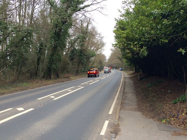
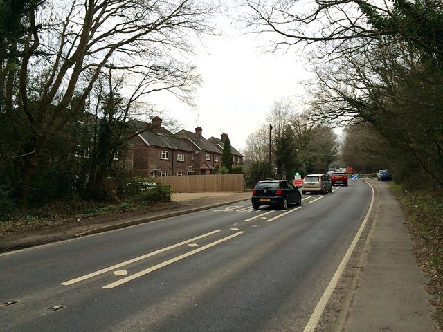
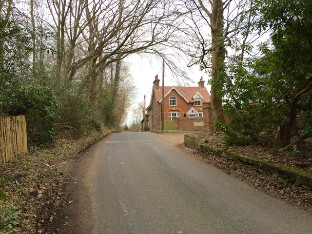
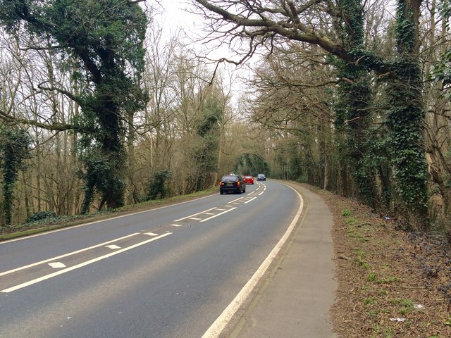
Flat Wood is a small forest located in the county of Kent, in the southeastern part of England. Covering an area of approximately 100 acres, it is situated near the village of Kentwood, and is known for its natural beauty and diverse flora and fauna.
The forest is predominantly made up of deciduous trees, such as oak, beech, and birch, which create a dense canopy overhead. The woodland floor is covered in a thick layer of fallen leaves, providing a habitat for a wide range of small mammals, birds, and insects. It is also home to several rare and protected species, including the lesser-spotted woodpecker and the silver-washed fritillary butterfly.
Flat Wood offers numerous walking trails and nature paths, allowing visitors to explore the forest and discover its hidden treasures. The paths are well-maintained, making it accessible for people of all ages and abilities. There are also picnic areas and benches scattered throughout the forest, providing a perfect spot for visitors to relax and enjoy the peaceful surroundings.
The management of Flat Wood is overseen by the local Kentwood Forestry Commission, which works to protect and preserve the natural habitat. They regularly organize educational programs and guided walks, aiming to raise awareness about the importance of conservation and sustainable forestry practices.
Overall, Flat Wood in Kent is a picturesque forest that offers a tranquil escape from the bustling city life. Its diverse ecosystem, well-maintained trails, and educational initiatives make it an ideal destination for nature lovers and those seeking a peaceful retreat in the heart of Kent.
If you have any feedback on the listing, please let us know in the comments section below.
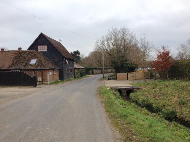
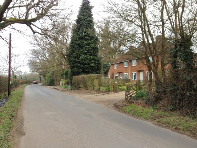
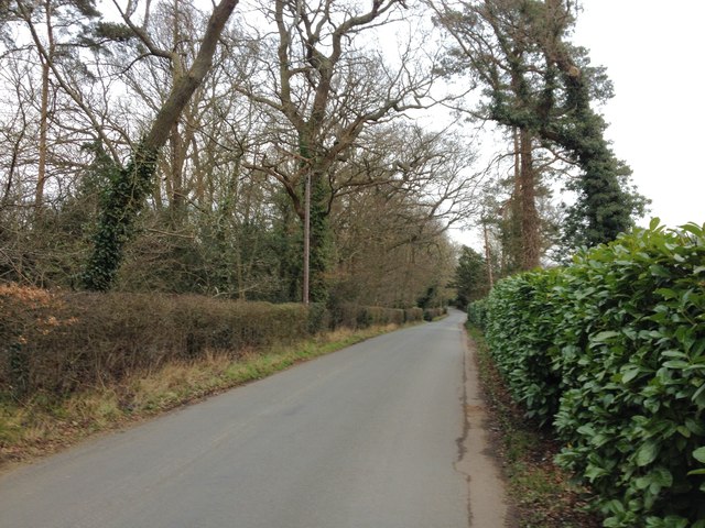
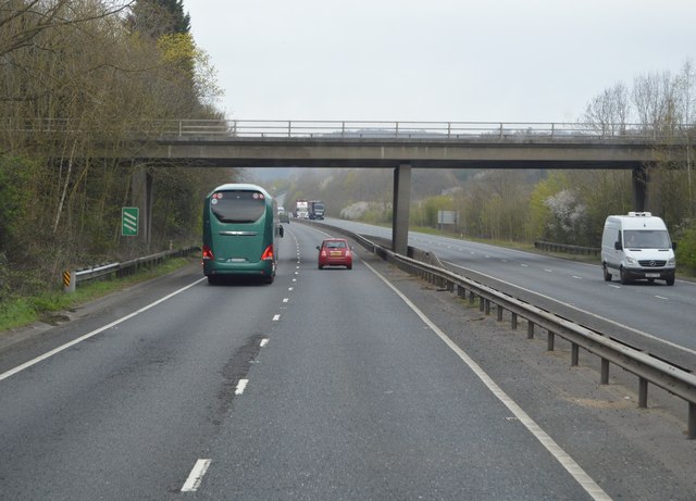
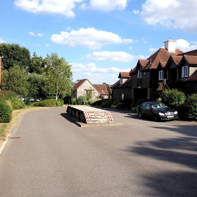
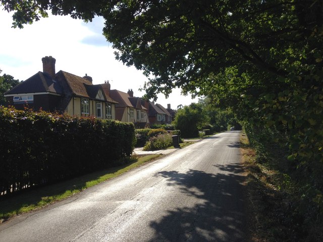
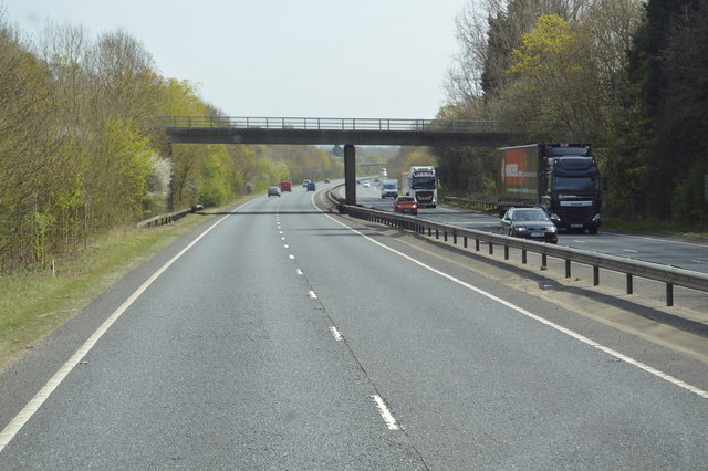
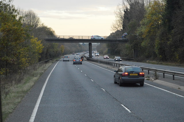
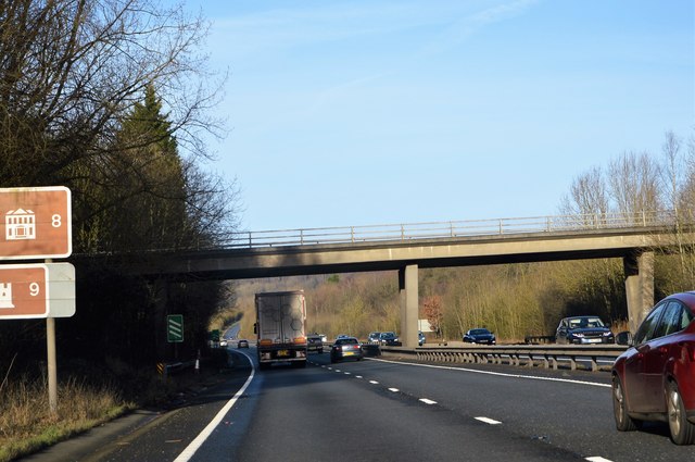
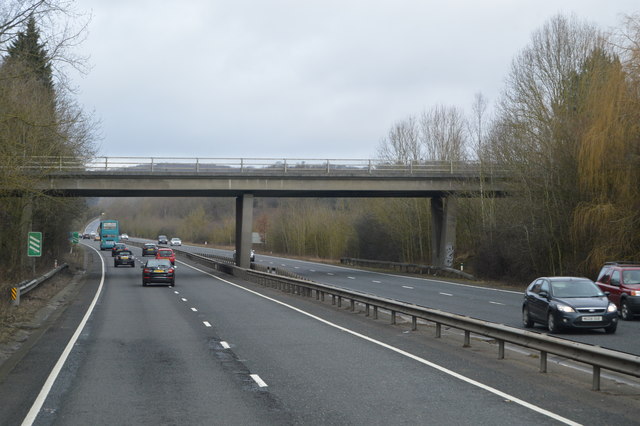
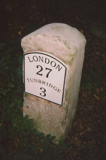
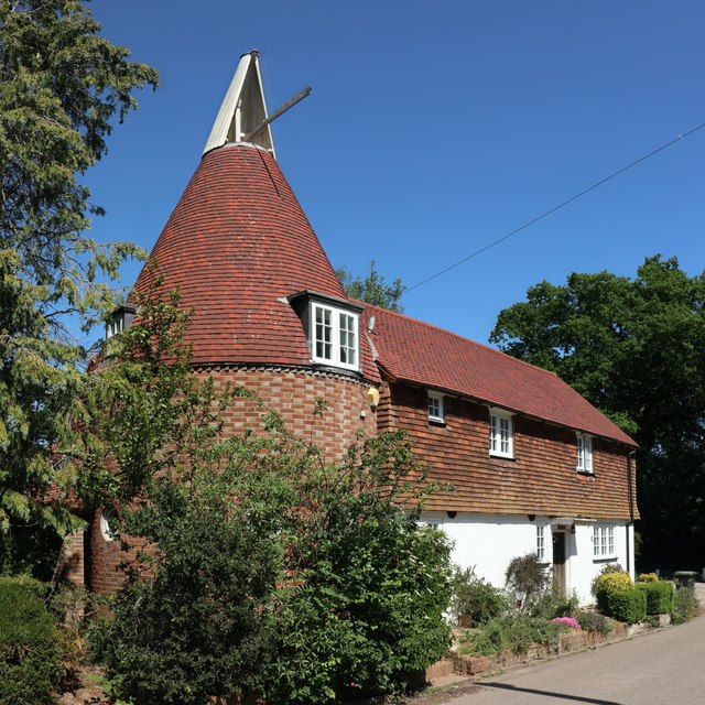
Flat Wood Images
Images are sourced within 2km of 51.219412/0.23093539 or Grid Reference TQ5549. Thanks to Geograph Open Source API. All images are credited.


Flat Wood is located at Grid Ref: TQ5549 (Lat: 51.219412, Lng: 0.23093539)
Administrative County: Kent
District: Tonbridge and Malling
Police Authority: Kent
What 3 Words
///wanted.hurls.owls. Near Tonbridge, Kent
Nearby Locations
Related Wikis

Sackville School, Hildenborough
Sackville School is a small profit-making coeducational independent school located in the village of Hildenborough, in Kent, England. == History == Sackville...
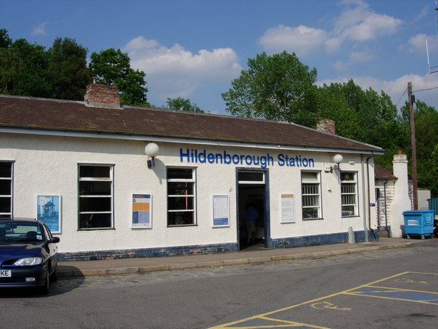
Hildenborough railway station
Hildenborough railway station is on the South Eastern Main Line in England, serving Hildenborough, Kent, and the surrounding villages. It is 27 miles 2...

Hildenborough
Hildenborough is a village and rural parish in the borough of Tonbridge and Malling in Kent, England. It is located 2 miles (3.2 km) north-west of Tonbridge...
Princess Christian's Farm
Princess Christian's Farm is an educational facility geared towards people with learning disabilities. The farm is run by a partnership with Kent County...
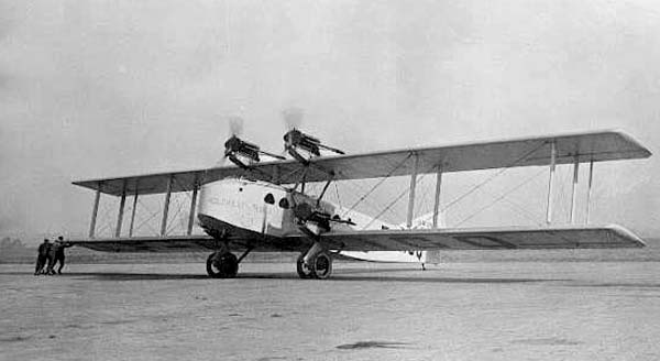
October 1926 Air Union Blériot 155 crash
The October 1926 Air Union Blériot 155 crash happened on 2 October 1926 at Leigh, Kent when Blériot 155 F-AICQ caught fire in mid-air and crashed while...

St Mary's Church, Leigh
St Mary's Church is a parish church in Leigh, Kent. The current church was originally completed in the 13th century, although a church is believed to have...

Oast Theatre, Tonbridge
The Oast Theatre is situated on the outskirts of Tonbridge, Kent. It is a small theatre that is based in an old oast house. It is home to the Tonbridge...

Leigh, Kent
Leigh , historically spelled Lyghe, is a village and a civil parish located in the Sevenoaks district of Kent, England. It is located six miles (10 km...
Nearby Amenities
Located within 500m of 51.219412,0.23093539Have you been to Flat Wood?
Leave your review of Flat Wood below (or comments, questions and feedback).