Bourne Place Wood

Wood, Forest in Kent Tonbridge and Malling

England

Bourne Place Wood

Nizels Golf Course
Nizels Golf Course Credit: N Chadwick

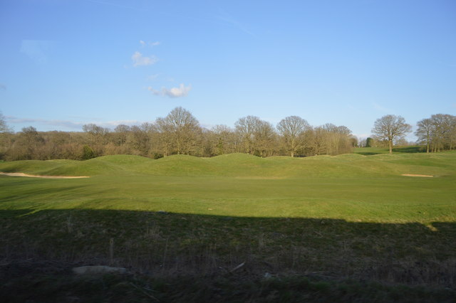
Bourne Place Wood is a picturesque woodland located in the county of Kent, England. Spanning over 30 acres, it is nestled within the charming village of Bishopsbourne, near Canterbury. The wood is part of the larger Bourne Park estate, which encompasses a diverse range of habitats including ancient woodland, meadows, and wetlands.

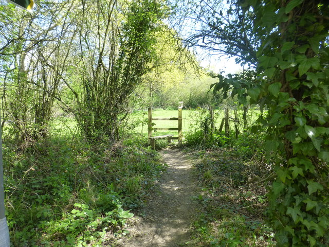
As one of the oldest woodlands in the region, Bourne Place Wood boasts a rich history dating back centuries. With its mature trees and dense undergrowth, the woodland provides a haven for a wide variety of flora and fauna. Visitors can expect to encounter a plethora of native species, including oak, ash, hazel, and beech trees, which create a vibrant canopy throughout the year.

The woodland is crisscrossed by a network of well-maintained footpaths, allowing visitors to explore its natural beauty at their leisure. These pathways offer opportunities for peaceful walks, nature spotting, and birdwatching, with several species of woodland birds known to inhabit the area.

Bourne Place Wood also holds historical significance, with remnants of ancient earthworks and signs of past human activity still visible. The wood provides a tranquil escape from the hustle and bustle of modern life, offering a glimpse into the region's past while promoting biodiversity and conservation efforts.

Overall, Bourne Place Wood is a captivating woodland destination that combines natural beauty, historical intrigue, and a sense of tranquility. Whether you are a nature enthusiast, history buff, or simply seeking a peaceful retreat, this idyllic woodland in Kent is sure to leave a lasting impression.

If you have any feedback on the listing, please let us know in the comments section below.

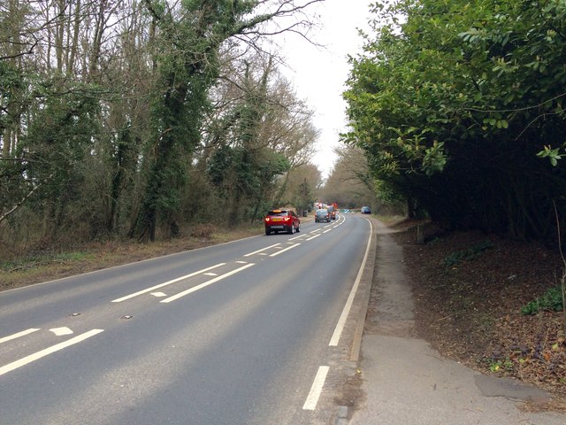
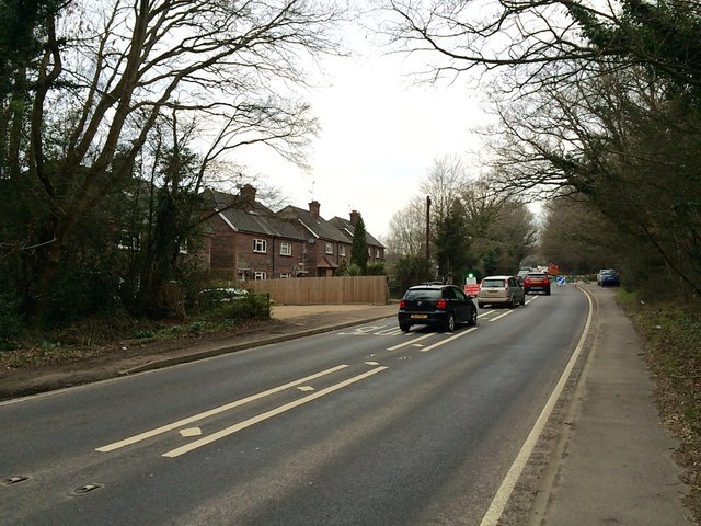
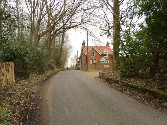
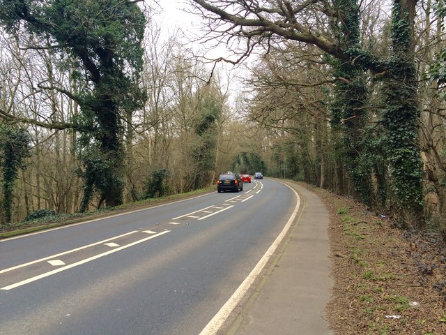
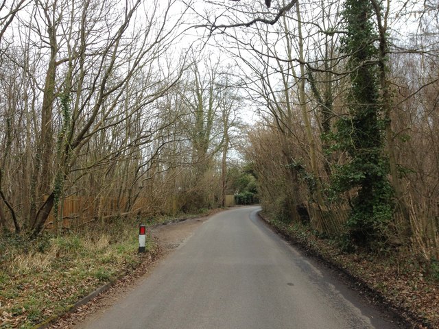
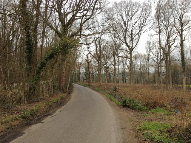
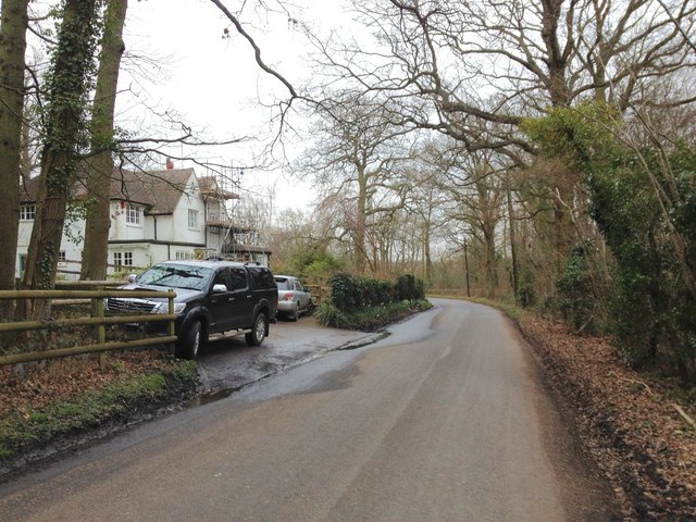
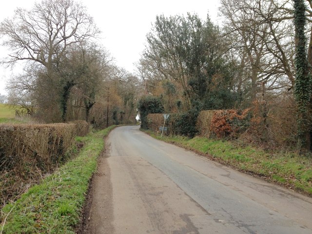
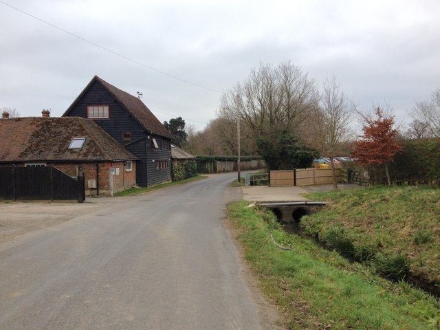
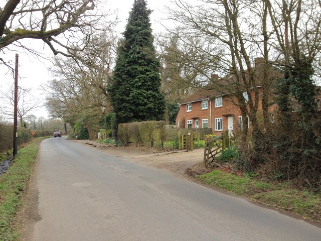
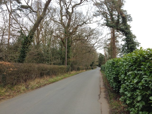
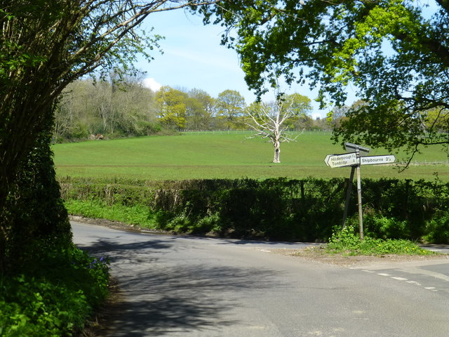
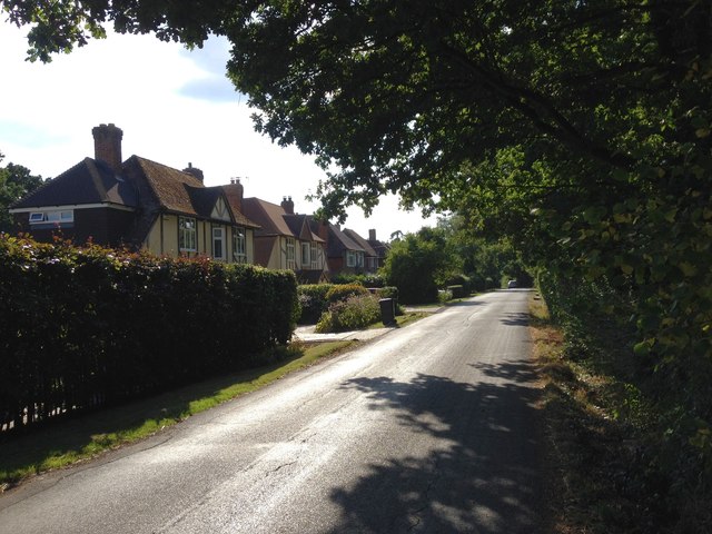
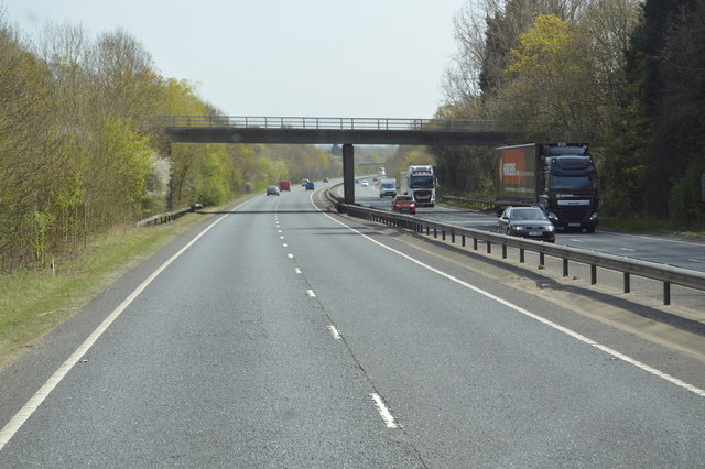
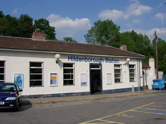
Bourne Place Wood Images

Images are sourced within 2km of 51.222461/0.2252396 or Grid Reference TQ5549. Thanks to Geograph Open Source API. All images are credited.

Nizels Golf Course
Nizels Golf Course
London Road, Hildenborough
Grove Wood Cottages, London Road, Hildenborough
Bank Lane, near Hildenborough
London Road, near Hildenborough
Bank Lane, near Hildenborough
Mill Lane, Underriver
Underriver House Road, Underriver
Mill Lane, Underriver
Mill Lane, Hildenborough
Vines Lane, Hildenborough
Junction of Underriver House Road and Mill Lane
Footpath from Mill Lane  near its junction with Underriver House Road
Footpath from Mill Lane near its junction with Underriver House Road
Nizel's Lane Bridge, A21 The A21 is a 63 mile major trunk road running  from Lewisham in Greater London to Hastings, East Sussex. The road is broken up by the M25 motorway between junction 4 and 5.
Wikipedia <span class="nowrap"><a title="http://en.wikipedia.org/wiki/A21_road_(England)" rel="nofollow ugc noopener" href="http://en.wikipedia.org/wiki/A21_road_(England)">Link</a><img style="margin-left:2px;" alt="External link" title="External link - shift click to open in new window" src="https://s1.geograph.org.uk/img/external.png" width="10" height="10"/></span>
Nizel's Lane Bridge, A21
The A21 is a 63 mile major trunk road running from Lewisham in Greater London to Hastings, East Sussex. The road is broken up by the M25 motorway between junction 4 and 5. Wikipedia LinkExternal link
Hildenbrook Farm, Hildenborough
Vines Lane, Hildenborough
Nizel's Lane Bridge, A21 The A21 is a 63 mile major trunk road running  from Lewisham in Greater London to Hastings, East Sussex. The road is broken up by the M25 motorway between junction 4 and 5.
Wikipedia <span class="nowrap"><a title="http://en.wikipedia.org/wiki/A21_road_(England)" rel="nofollow ugc noopener" href="http://en.wikipedia.org/wiki/A21_road_(England)">Link</a><img style="margin-left:2px;" alt="External link" title="External link - shift click to open in new window" src="https://s1.geograph.org.uk/img/external.png" width="10" height="10"/></span>
Nizel's Lane Bridge, A21
The A21 is a 63 mile major trunk road running from Lewisham in Greater London to Hastings, East Sussex. The road is broken up by the M25 motorway between junction 4 and 5. Wikipedia LinkExternal link
Show me another place!

Bourne Place Wood is located at Grid Ref: TQ5549 (Lat: 51.222461, Lng: 0.2252396)

Administrative County: Kent

District: Tonbridge and Malling

Police Authority: Kent

What 3 Words

///became.riches.area. Near Tonbridge, Kent

Related Wikis

Related Videos

My First Solo Camping Trip At An Adults Only Campsite! Morley’s Farm Sevenoaks On Pitchup

My first time camping on my own at Morley's Farm Campsite near Sevenoaks. You can book direct, details at ...

Community Bushcraft event in Kent, UK

Community Bushcraft weekend event in Kent UK.

Harry Potter Bell Tent Experience

Enter the magical world of Harry Potter where sorcery and witchcraft are ever closer than you imagined. This incredible 2020 full ...

Nearby Amenities

Located within 500m of 51.222461,0.2252396
Bus Stop
Watt's Cross
Bench: no
Bin: no
Local Ref: SE-bound
Naptan AtcoCode: 2400A005740A
Naptan Bearing: SE
Naptan BusStopType: MKD
Naptan CommonName: Watt's Cross
Naptan Indicator: SE-bound
Naptan Landmark: Mill Lane
Naptan NaptanCode: kntajadw
Naptan RevisionNumber: 3
Naptan Status: act
Naptan Street: London Road
Naptan Verified: no
Public Transport: platform
Ref: kntajadw
Shelter: no
Source: naptan_import
Source Date: 2013-11-04
Lat/Long: 51.2231783/0.2288291
Barrier: yes
Lat/Long: 51.2265298/0.2225677
Bus Stop
Watt's Cross
Bench: no
Bin: no
Local Ref: NW-bound
Naptan AtcoCode: 2400102958
Naptan Bearing: NW
Naptan BusStopType: MKD
Naptan CommonName: Watt's Cross
Naptan Indicator: NW-bound
Naptan Landmark: Mill Lane
Naptan NaptanCode: kntjawga
Naptan RevisionNumber: 2
Naptan Status: act
Naptan Street: London Road
Naptan Verified: no
Public Transport: platform
Ref: kntjawga
Shelter: no
Source: naptan_import
Source Date: 2018-04-30
Lat/Long: 51.2224998/0.2292508
Post Box
Collection Times: Mo-Fr 09:00; Sa 07:00; Su off
Colour: red
Post Box Mounting: pier
Post Box Type: lamp
Ref: TN11 69
Royal Cypher: EIIR
Royal Cypher Wikidata: Q33102113
Lat/Long: 51.2225472/0.2294476
The data included in this document is from www.openstreetmap.org. The data is made available under ODbL.

Have you been to Bourne Place Wood?

Leave your review of Bourne Place Wood below (or comments, questions and feedback).